Press "Enter" to skip to content

Tag: yellow cat road

Dome Plateau

Saturday, March 5, 2016

This weekend Diane and I decided not to stray too far from home and made our way out to the Dome Plateau area northeast of Arches National Park to do a little exploring. We started out by driving up onto Winter Camp Ridge to check on a geocache I placed here a few years back. It’s also an area we just enjoy visiting.

2 Comments

McDonald Creek

Sunday, October 25, 2015

Our original plan for today was to visit my geocache on Winter Camp Ridge just outside of Arches National Park and then explore a little more of Lost Spring Canyon. We left home later in the morning and made our way into Utah to the Yellow Cat Road, however we were quickly stopped by slippery mud, quicksand and large cutbanks at a crossing of Pinto Wash from the recent heavy rain. Without a good place to winch from in the area, we decided it was best to turn around and come back another time after the area had more time to dry out. It was time to find something else to do.

6 Comments

Winter Camp Ridge

Saturday, November 1, 2014

Winter Camp Ridge is an obscure place located north of Arches National Park near The Highlands. Most people bypass this area as they are heading elsewhere in the region, but I always seem to be drawn back to this location every so often. My first time here was when I was out exploring the backroads of the Yellow Cat area and took the sandy two-track onto Winter Camp Ridge to see where it went. The road ended up bringing me to the Arches National Park boundary not too far from Delicate Arch. Since that first trip I have always wanted to try and hike to Delicate Arch from this road. That’s what Diane and I planned to attempt this weekend.

1 Comment

The Sandstone Bowl

Saturday, March 1, 2014

When Diane and I woke up Saturday morning we had no plans for the day. We wanted to do something outsite but the weather was calling for rain all day. In the end we decided to ignore the weather reports since it looked nice outside and took a last minute trip just over the stateline into Utah so I could check on a geocache that I had placed a few years back. It’s in a remote area that sees little traffic so very few people have actually found it. It had been a while since I had been out that way and I was looking forward to hiking around the area. After getting off the pavement onto the Yellow Cat Road we ran into some pretty muddy conditions that slowed down driving, but nothing too bad. After leaving the Yellow Cat Road we pretty much drove on sandy roads the rest of the day and didn’t have to deal with any more slippery mud. Although, a lot of the two-track roads we drove were filled with tumbleweeds, so we had to deal with those instead. It appears that we were the first vehicle on some of these roads this season. Even though there were storms all around us for most of the day we managed to miss most of the rain. It was a bit windy out all day, but the scattered clouds made for some excellent photography conditions with the changing light and shadows. My favorite kind of day!

2 Comments

Lunar Eclipse, Sand Flats & Mill Creek

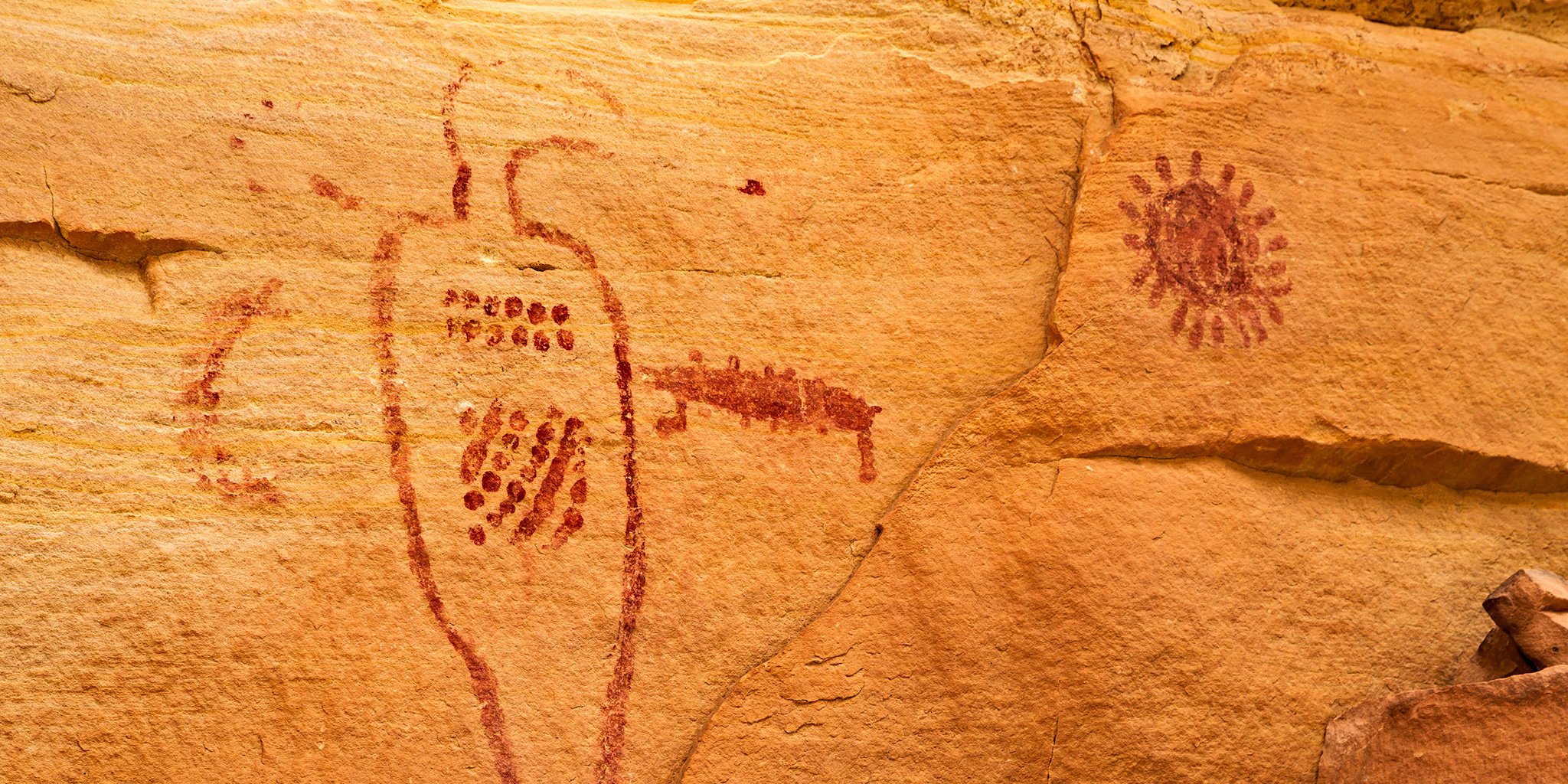
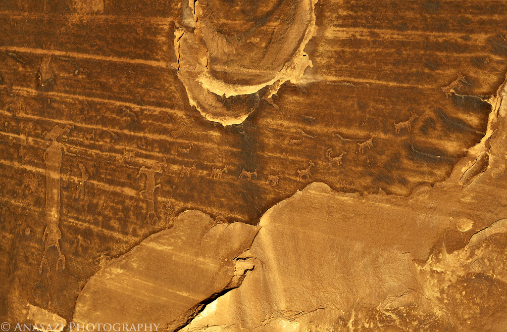
Moab Area Rock Art XV | Saturday, December 10, 2011

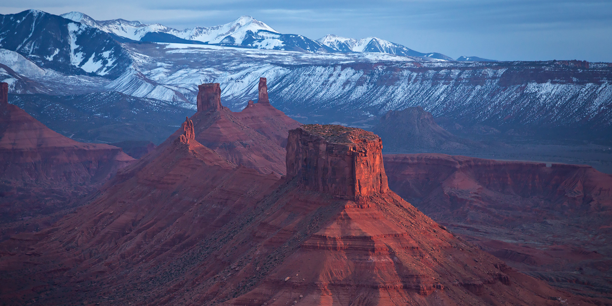
I left my house early on Saturday morning so I could photograph the lunar eclipse just before the sunrise. I didn’t plan on going to any specific location, so I figured that I would stop somewhere between Grand Junction and Moab, since I was headed back to Moab again to search for rock art with Marty. As I drove west on I-70 I was able to watch the eclipse as the earths shadow grew larger on the full moon. When I reached the Yellow Cat exit I decided to get off the highway and take a side road to find a place to take some photos. It was pretty cold out this morning and my hands were freezing. I tried to keep my gloves on as much as possible, but kept having to remove them to change the settings on my camera.

Leave a Comment