Christmas Day | Monday, December 25, 2017
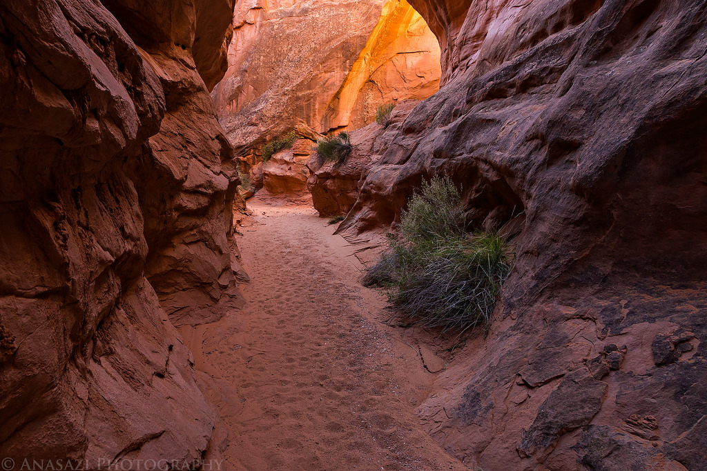
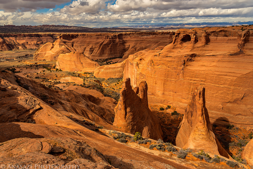
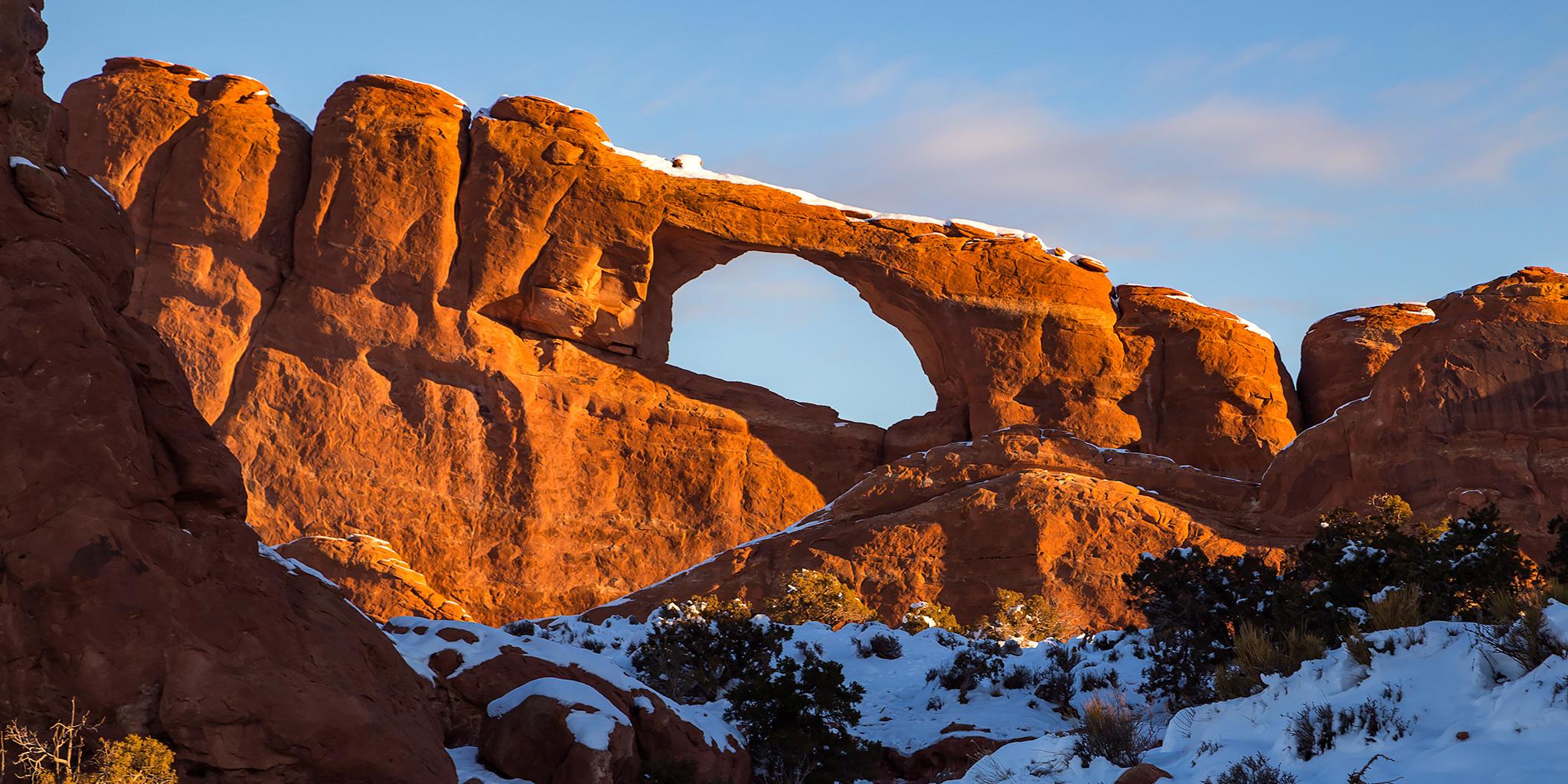
On Christmas morning Diane and I got up early, had some breakfast, loaded up the Jeep and then headed into Arches National Park for our annual Christmas tradition of hiking to Landscape Arch to make sure it’s still standing for another year. If you are interested, you can see our previous trips here: [2016] [2015] [2014]. During our drive through the park to the Devil’s Garden Trailhead we caught a pretty nice sunrise from a few overlooks along the way.
4 Comments