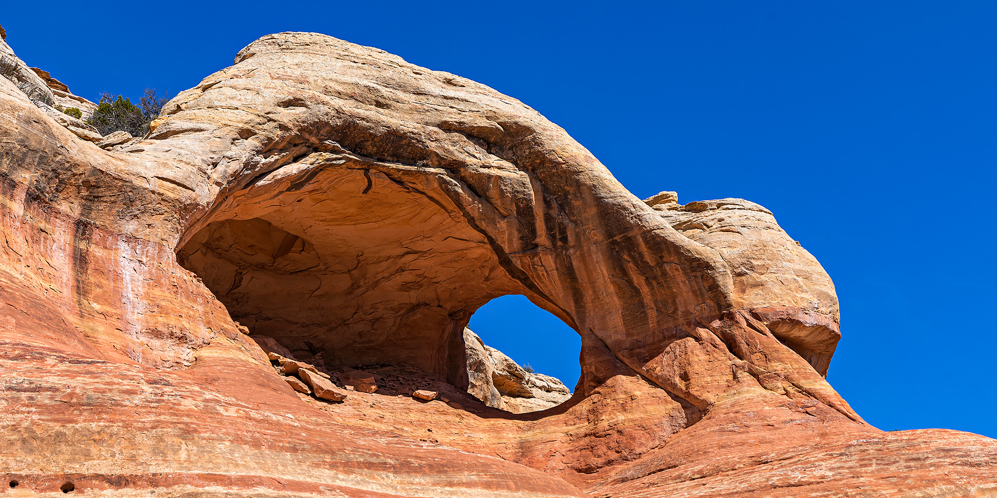
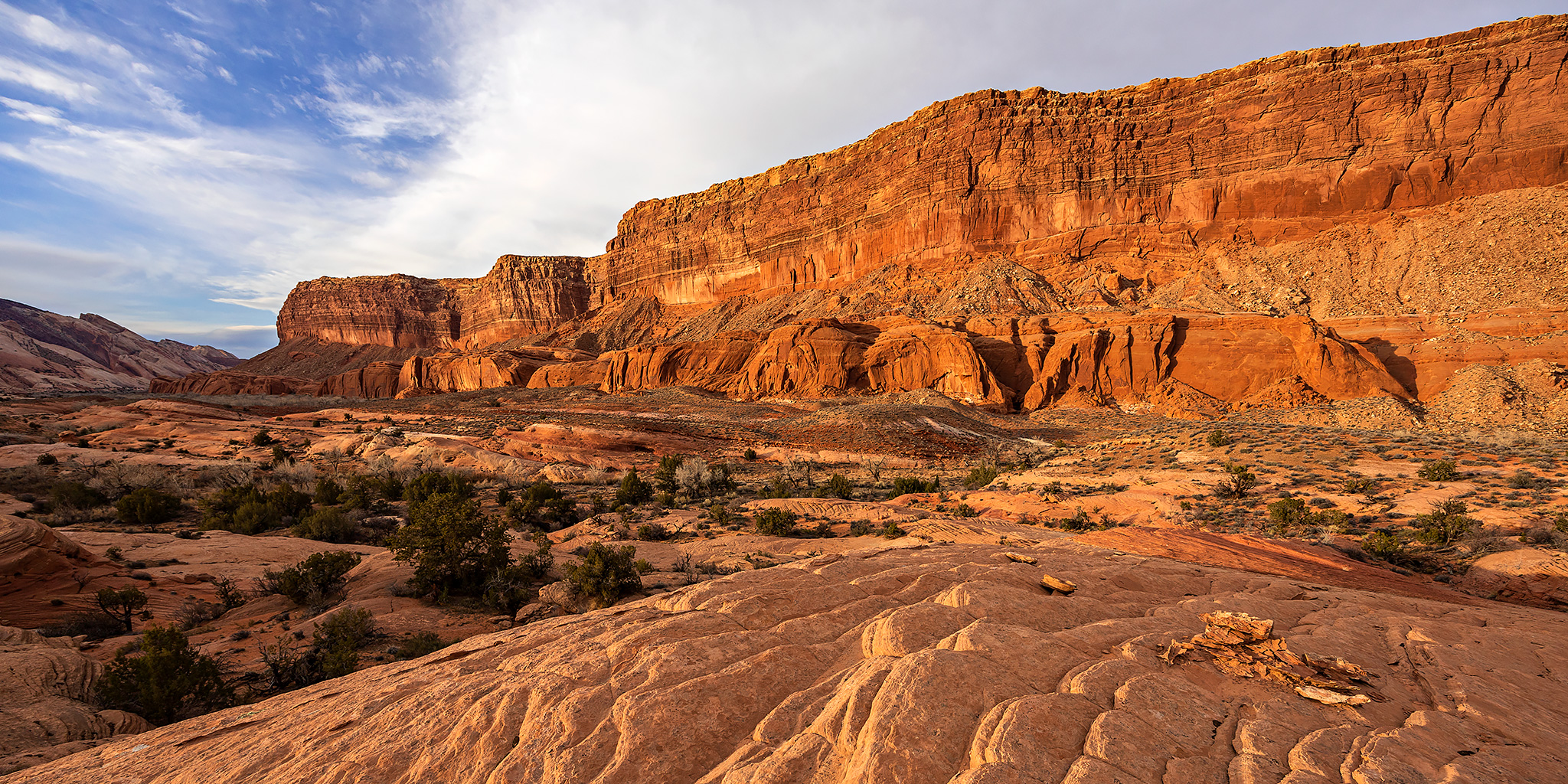
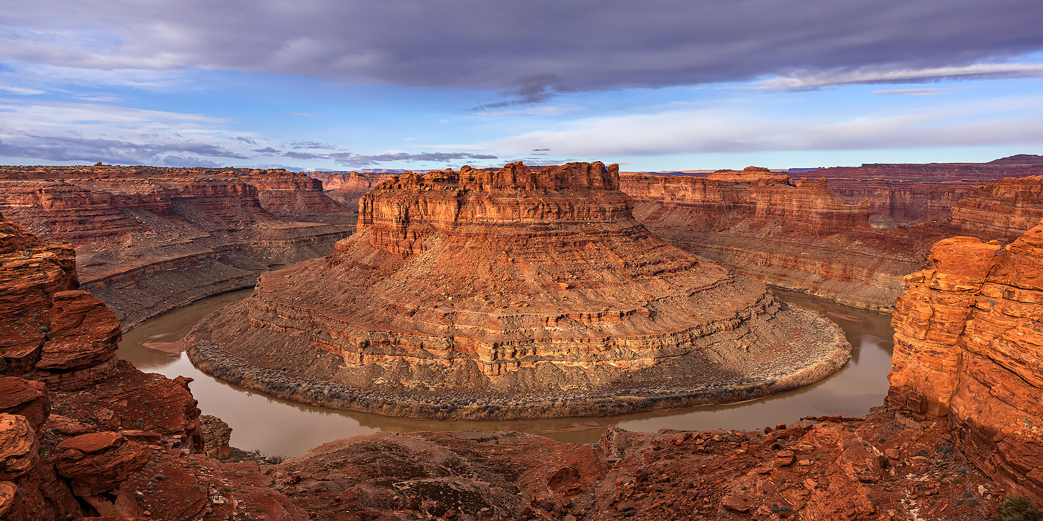
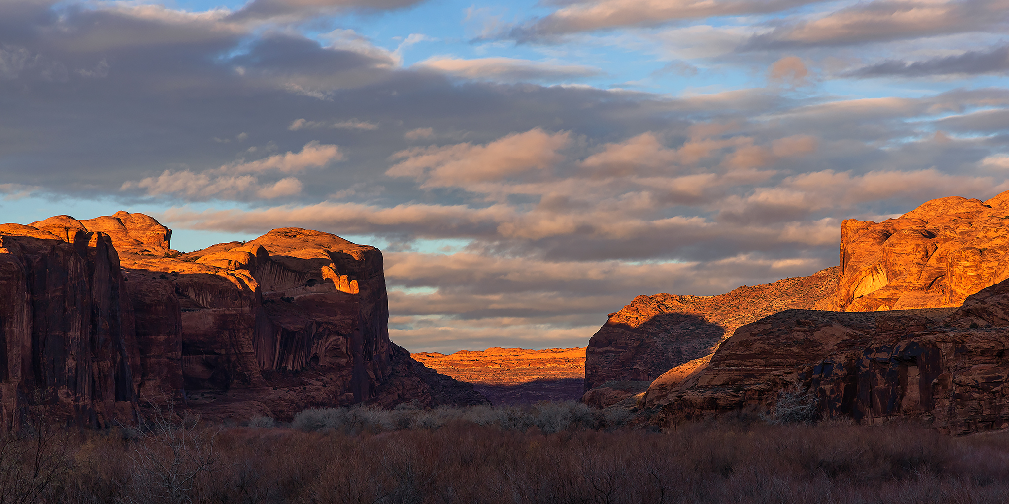
Press "Enter" to skip to content

Tag: rain

Lost in the Fold: Halls Creek Narrows

Canyons of the Waterpocket Fold: The Other Grand Gulch
Friday – Monday, March 18-21, 2022

This weekend I finally had the opportunity to hike into the Halls Creek Narrows which are located at the very southern tip of Capitol Reef National Park, as I continue to work my way through the many interesting Canyons of the Waterpocket Fold. This hike has been long overdue for me as I’ve tentatively planned to go here almost every year for at least the last five years, but it seems that something has always come up that made me cancel those plans- usually the weather forecast. Since Diane had a couple days off from school for a short spring break after this weekend she would also be able to join me on this three day backpacking trip. I left early from work on Friday afternoon and we made our way into Utah after Diane was finished taking her latest exam. I stopped to grab an early dinner from Stan’s in Hanksville and topped off my gas tank at $4.89 per gallon before we continued on past Trachyte Creek and Ticaboo to the Burr Trail Road where we found a great campsite overlooking Bullfrog Creek to the Henry Mountains. We set up our tent at the rim of the canyon and relaxed around camp for the remainder of the evening before going to bed early after photographing a pretty lackluster sunset.

2 Comments

Kept in The Loop at The Needles

Friday – Sunday, March 4-6, 2022

I ended up staying home last weekend because a winter storm had moved through the area during the week and dropped plenty of snow and also the temperature, so I was anxious to get back outside this weekend and thought this would be a good time to head back to The Needles once more before things start getting busy there for the spring season. Back in the late summer of 2020 when I floated the Colorado River through Meander Canyon we didn’t quite make it all the way to The Confluence like we had hoped to and ended up stopping shortly after entering The Loop. Since then I’ve wanted to get back and try exploring more of The Loop by foot and thought this weekend would be the perfect opportunity to give that a shot. As the weekend was approaching, I was keeping my eye on another storm system was that was going to be impacting the area and almost cancelled my plans again, but with conflicting forecasts I decided to take my chances and hoped that I would be able to hike around the weather this time. I’m glad I took the chance because the weather in The Needles was great for hiking and most of the storm system missed this area completely.

3 Comments

Moab Winter Weekend 2021

Moab Area Rock Art XXXVIII | Friday & Sunday, December 24 & 26, 2021

It feels like it’s been a while since the last time I spent much time around Moab, especially with it getting busier and busier all the time. Lately it feels like I’m just passing through on my way elsewhere and usually try to avoid the area entirely if I can. However, since it was time to return to Arches National Park for our annual Christmas in Arches visit, it seemed like the perfect opportunity to get a hotel room in Moab for the holiday weekend and spend some time hiking closer to town. The weather forecast was calling for a pretty wet weekend, and it was raining when we left home early on Friday morning, and had been for most of the night already. There was light on and off rain during the drive, but thankfully the temperature stayed above freezing so there was no ice to deal with. It was actually over 50 degrees out when we reached Moab.

7 Comments

Blue Mountain Shadows: Beef Basin to Cedar Mesa

Southern Utah Wanderings | Friday – Friday, October 1-8, 2021

This year for our annual week-long trek into Southern Utah, Jared and I started out in the Beef Basin area and then we explored our way over to Cedar Mesa. It has been a while since either of us had spent much time around Beef Basin and I was also really hoping that we would be able to spend some quality time around the Dark Canyon Plateau and Elk Ridge areas along the way. The trip started out great and we found plenty of new rock art and ruin sites, but unfortunately the weather did not cooperate with us on the second half of this trip and we had to change our plans multiple times because of storms and slick muddy roads. At one point we even stopped to help winch a truck back onto the road that was sliding off. One of the unexpected benefits of the poor weather was that it chased us closer to the Abajo Mountains than we were originally planning to go, and they were in peak falls colors at the time! At the end of the week we found out that President Biden was restoring the original boundaries of Bears Ears National Monument, which was fitting since we were sitting in camp within the newly restored boundary. I’m not going to get into the nitty-gritty details of this trip, so please enjoy plenty of photos from our journey below.

4 Comments

ABC’s of the Green River: Red Canyon to Browns Park

Flaming Gorge Dam to the Swinging Bridge | High CFS: 1,870 – Low CFS: 1,240
Saturday – Tuesday, September 18-21, 2021

The middle and latter part of September is probably my favorite time of the year to go on a nice relaxing river trip. The heat of summer is starting to diminish, but it’s still usually warm enough to go for a swim. The rivers are lower and slower making a more enjoyable trip for those of us who aren’t really into the swift water and big rapids. The low water also means there are a lot of sandbars for camping on, which is my favorite kind of camping. The nights are beginning to to get longer and cooler and most of the bugs are usually gone! What more could you ask for? After spending a few days on the Colorado River in Canyonlands National Park last September, this year Jackson, Chris and I decided to follow in the footsteps of John Wesley Powell again and check out the Green River just below the Flaming Gorge Dam from Red Canyon to Browns Park. This segment of the Green River is known as the ‘ABC’ section because it is divided into three different sections; Section A from the Flaming Gorge Dam to Little Hole is about 7 miles, Section B from Little Hole to Indian Crossing is about 8 miles, and Section C from Indian Crossing to Swinging Bridge is about 15 miles- for a total of about 30 miles. We planned to do the whole stretch.

2 Comments