Chinese Wall Trail to Lost Lakes Peaks & Skinny Fish Basin
Friday – Sunday, June 18-20, 2021
After spending last weekend on the San Miguel River and then in the Lizard Head Wilderness, I was looking forward to spending some more time in the high country to get away from these 100 degree days in the Grand Valley. Originally, I was planning to hike in the La Sal Mountains this weekend, since that’s where I usually kick off my peak-bagging season, but with the Pack Creek Fire burning in the area I decided it would be best to stay clear of that area for now. For the past couple of years I’ve also been trying to go on an early season trip into the Flat Tops, so I thought I would go ahead and do that this weekend instead. I’ve always wanted to hike to the top of the Chinese Wall, so I figured I could do that and visit the summits of the Lost Lakes Peaks while I was up there. On a side note, I received a new point & shoot camera on Friday afternoon and decided that I would take my chances with it and use it exclusively this weekend, so all the photos in this Trip Report were taken with the new camera. So far I am happy with the results!
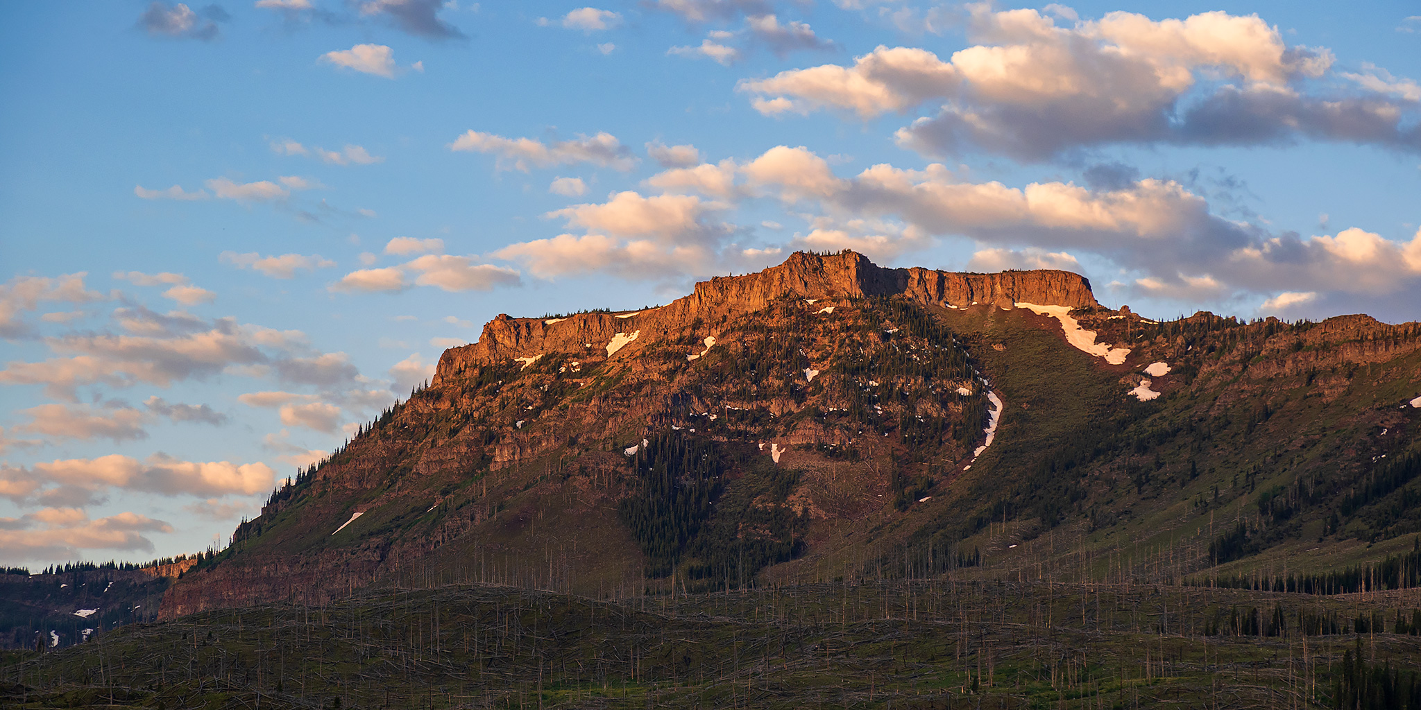
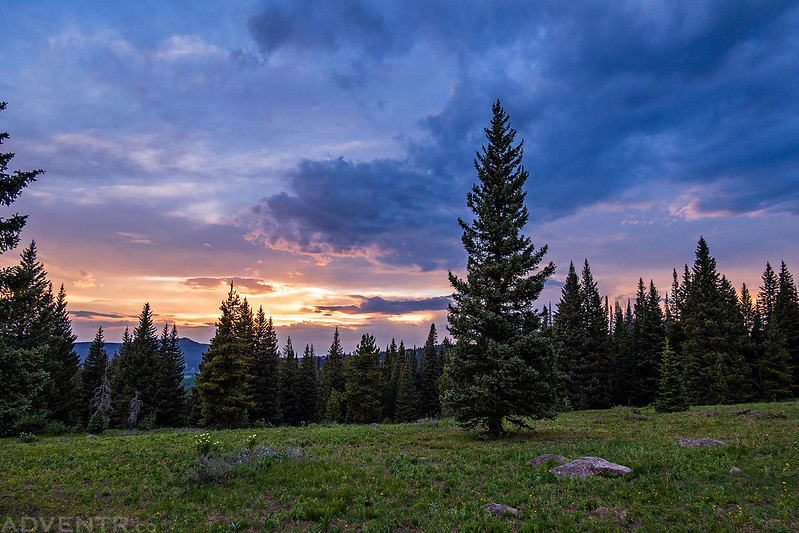
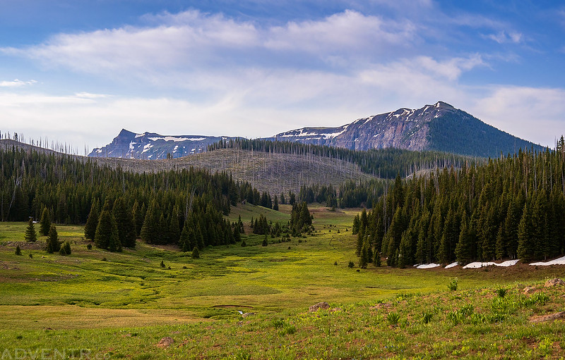
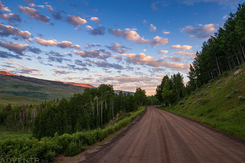
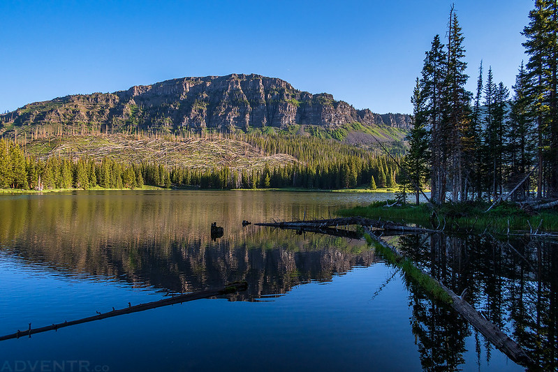
As usual, I left from work on Friday afternoon, grabbed dinner on my way out of town and then headed through Rifle and Meeker on my way into the Flat Tops. I followed the North Fork of the White River up to Ripple Creek Pass and found a spot to camp for the night. Then I returned to the Ripple Creek Overlook and hiked the short loop trail found there before sunset. The mosquitoes were out in full force this evening, so I had to keep moving so they wouldn’t swarm me. It was mostly cloudy out with smoke in the air from the Collom Wildfire that was burning south of Craig, but the sun did peek out a few times. Still, there were nice views of the Lost Lakes Peaks, Chinese Wall and the Marvine Peaks from the overlook.
Ripple Creek Pass Road

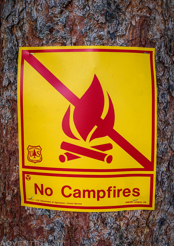
No Campfires! A sign we will be seeing a lot of this summer.
Testing out the new camera with some backlit scenes.


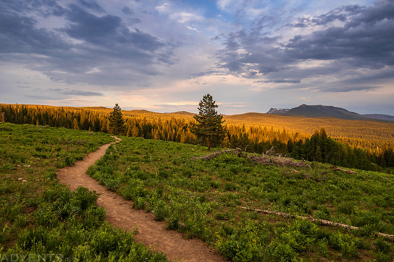
Trail View
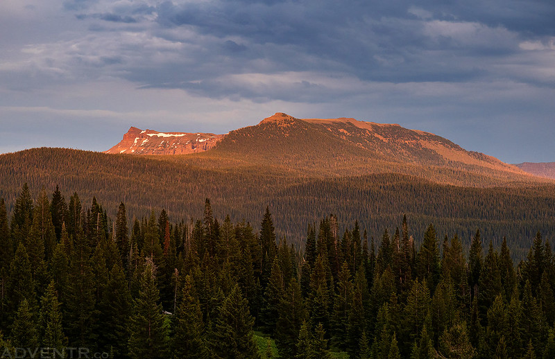
A smoky view toward Himes Peak.

Ripple Creek Overlook Trail

Surprisingly, this little point and shoot camera makes a decent sunstar.

The very top of Trappers Peak was visible across the valley.

There was also a good view of the Lost Lakes Peaks, which would be my destination on Saturday.
Here are two shots of the changing colors at dusk back near camp.

Once the color had left the sky I got into my sleeping bag and went to sleep. I woke up a couple of times overnight and heard some light rain falling, but it never rained enough to get the ground wet.
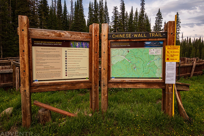
I woke up with the sunrise, but it was mostly cloudy and overcast out this morning. Then I drove over to the Chinese Wall Trailhead and started hiking towards the top of the Flat Tops. It was cool out, but also pretty humid. The first couple miles of the hike were through the trees with limited views and the mosquitoes were still out, but they seemed to disappear when I finally climbed up above tree line. For a little while it looked like the sky was going to clear up, but by the time I reached the top of the plateau is was still pretty overcast out and smoke from the wildfire was still around, too.
Chinese Wall Trailhead
Split Sky
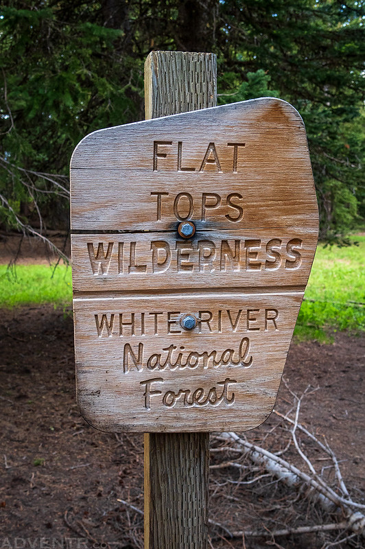
Entering the Flat Tops Wilderness
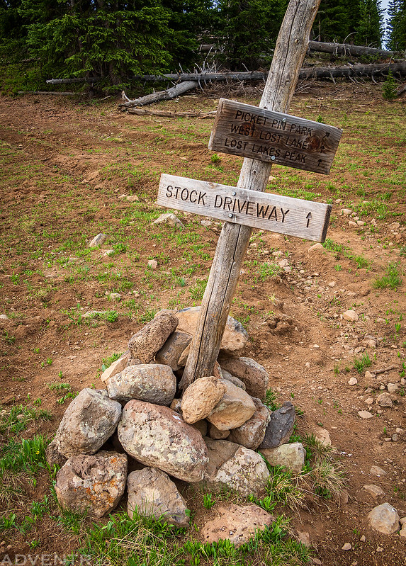
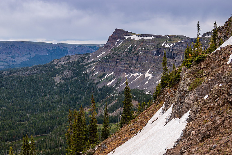
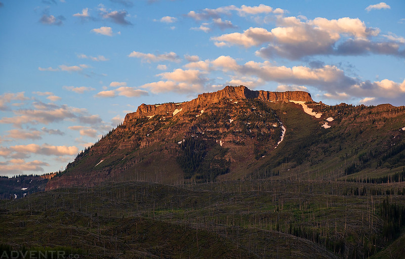
When I reached the edge of Picket Pin Park I had a good view of the Chinese Wall and Lost Lakes Peaks.
Stock Driveway
Lower Chinese Wall Trail

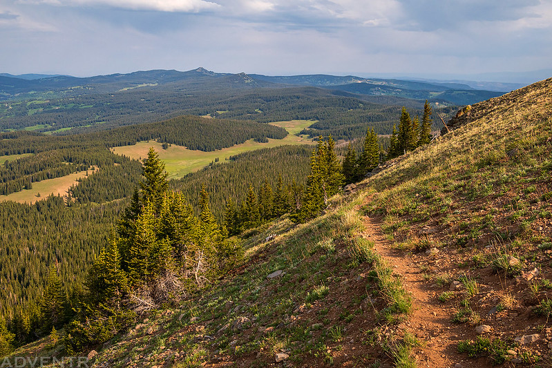
The sun came out for a few minutes again as I climbed out of the trees. Sleepy Cat Peak is visible on the horizon.

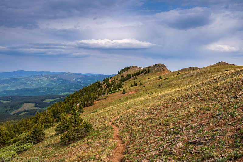
Climbing to the top of the plateau on the Chinese Wall Trail.
It started to get pretty windy and chilly while I was on top of the ridge and plateau. That’s probably why there were no mosquitoes up here…
A Smoky View of Trappers Lake

Once on top of the plateau, it was an easy walk over to the summit of Lost Lakes Peaks, West (11,928).

I continued over the summit and followed the ridge down on the other side as I made my way over to the east summit next.

When I reached the edge on the other side of the plateau I had a very nice view of the Chinese Wall from above.
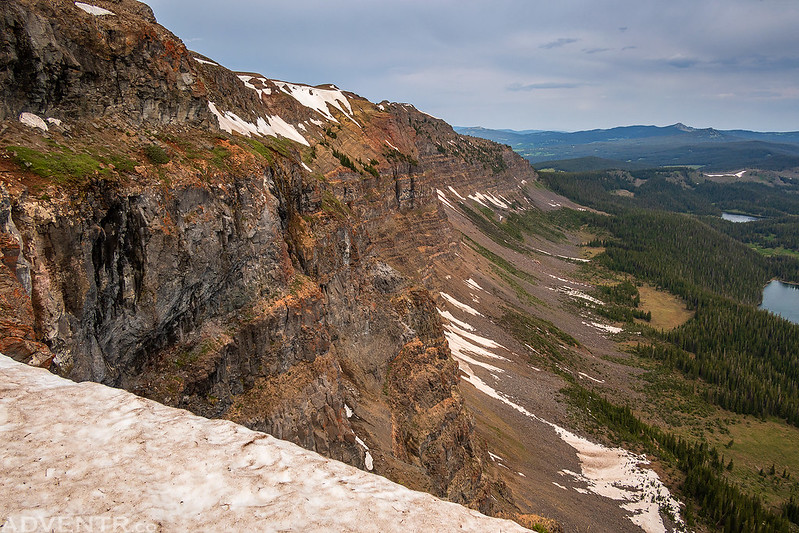
Looking down were the Lost Lakes, including Deep Lake and Dines Lake.

Following the edge to the east summit of the Lost Lakes Peaks.
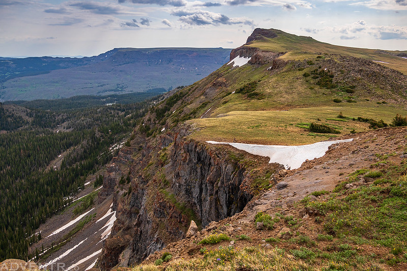
Almost to the summit…
Here’s the view from the top of Lost Lakes Peaks, East (11,935) overlooking the Lost Lakes with the Chinese Wall on the left.
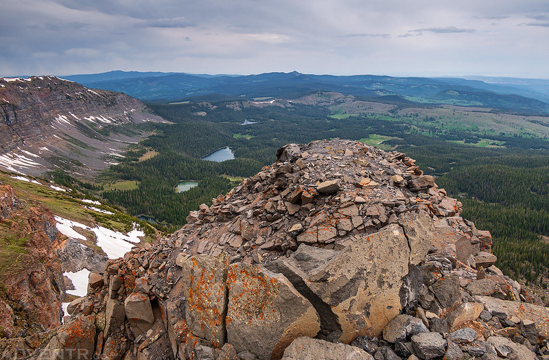
Looking the other direction over Causeway Lake to Flat Top Mountain on the horizon.

It was very windy at this point and I was worried a storm was moving in since the clouds seemed to be getting darker, so I didn’t stick around on the summit very long before heading back down.

Following the Chinese Wall Trail back down off the plateau.

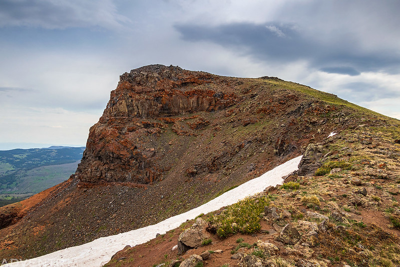
Before entering the trees again, I climbed up to the ridge for one last view of Lost Lakes Peaks, East.
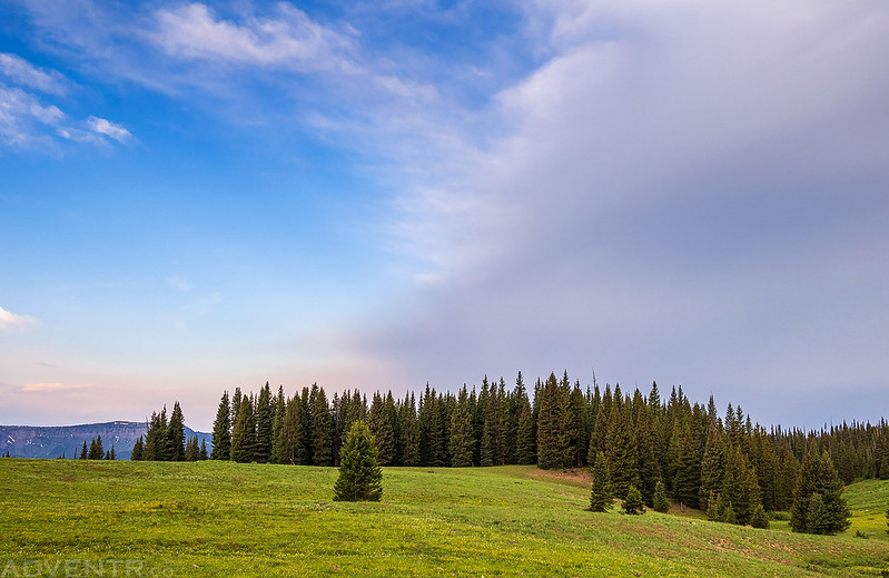
Of course, the temperature warmed up as I was hiking back and the sky started to clear up as I made my way across Picket Pin Park.
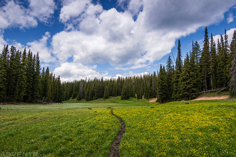
Trail Across The Meadow
False Hellebore

The clearing sky did not last very long, because shortly before arriving back to the trailhead I started to hear rumbles of thunder that were getting closer and then the wind picked up and the temperature dropped. There was a storm right on top of me as I returned back to my Jeep and the sky let loose as rain and graupel started coming down pretty hard for a few minutes. I took a short video from inside my Jeep.
When I returned to my Jeep I found that I had hiked over 16 miles with over 3,200 feet of elevation gain today. Although my legs were definitely tired, I didn’t struggle with the hike like I thought I might. I guess I am in better shape than I thought and now I’m ready for some more serious peak-bagging! I spent the rest of the afternoon and evening relaxing in camp as there were more on and off rain storms that moved through the area, and then I went to bed early since I was pretty tired.
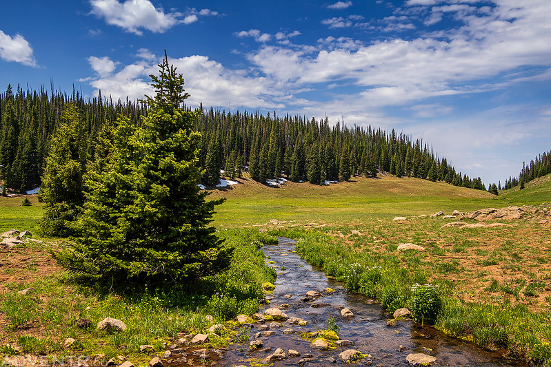
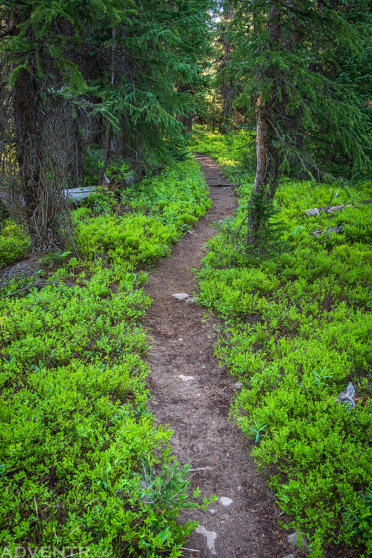
I woke up before sunrise on Sunday morning and drove over to the Skinny Fish Trailhead near Trappers Lake. I wanted to get in a short hike with a view of the Chinese Wall from below this morning before heading home, and the six mile loop to Skinny Fish Lake seemed like a good choice. It was cool and breezy for the first part of the hike, but once I reached Skinny Fish Lake the wind stopped and the mosquitoes came out again. At least there was less smoke in the air this morning!
There was a nice sunrise as I drove along the road toward Trappers Lake, so I stopped for a couple of photos along the way.
North Fork Tarn Reflection

Flat Tops Morning
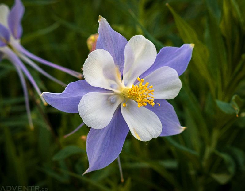
There were a lot more wildflowers at this elevation and Colorado Columbines were abundant along the trail.
Flat-Topped

Spotlight on Himes Peak.

This bridge crossed Skinny Fish Creek.

Shadows & Clouds

Colorado Columbines

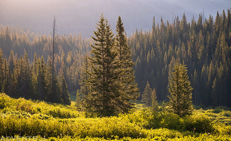
Skinny Fish Basin Trees
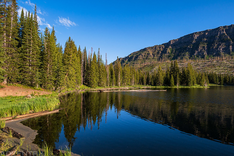
After about 2 miles and 1,000 feet of elevation gain, I reached the shore of Skinny Fish Lake below the Chinese Wall.
I continued along the trail through the trees as it looped around to McGinnis Lake.
McGinnis Lake Trail

McGinnis Lake


After leaving McGinnis Lake, the trail completed it’s lollipop loop and I finished hiking back down to the trailhead. I hopped back in my Jeep and headed home early since I had some stuff to get done around the house before going back to work on Monday. It turned out to be a really nice weekend in the Flat Tops!
Beautiful photos as unusual. Thanks for taking the time to do all your posting. These are desktop vacations for me.
I did a similar hike last September and it looks a lot better now than then. Hopefully that part of the State will see more water than it did last year.
What point and shoot? I bought a Fuji X100V last year and i love it. I certainly miss some zoom at times but being such a small and light package has really been a bonus. Its easily clips to a shoulder strap and i barely notice it.
Nice pictures as always.
Canon G5X mkII
Great shots as usual. I’m looking for new point and shoot, what did you get?
I got a Canon G5X mkII