Friday & Saturday, July 23-24, 2021
This weekend I needed to stay closer to home since Diane and I had another concert to go to on Saturday night and I wanted to be home early enough in the afternoon so I could rest for a little bit first. I was originally trying to find an easier summit close to Ouray since I was a little worried about all the mudslides we’ve been having in the mountains lately, and I really didn’t want to get stuck anywhere and miss out on the concert, but in the end I decided to head over Red Mountain Pass to Silverton so I could hike to the summit of Sugarloaf from Spencer Basin. Here’s a fun fact: There are at least 28 different Sugarloafs in Colorado (including peaks, mountains, rocks, etc…), but the one located above Spencer Basin along the edge of the Weminuche Wilderness is the highest one in the state at 12,754 feet.
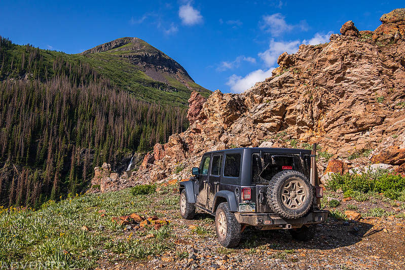
As usual, I was planning on leaving right after work on Friday, but earlier in the day I found out that I’d be getting out of work two hours earlier, so I got my hopes up that I might be able to squeeze in another hike this evening for sunset. When I left work in the early afternoon I headed down to Montrose for a quick dinner and then continued over Red Mountain Pass to Silverton. Just before reaching Silverton it started to rain pretty heavily, but I had hopes that it would not last very long, so I followed the Animas River and drove up into Minnie Gulch. I stopped at the end of the road to see if I could wait out the thunderstorms, but after a while I could tell that the rain was not going to stop for a while and headed back down. I guess hiking just wasn’t going to be in the cards this evening…
This is a new sign along the road that I spotted shortly after leaving Silverton.

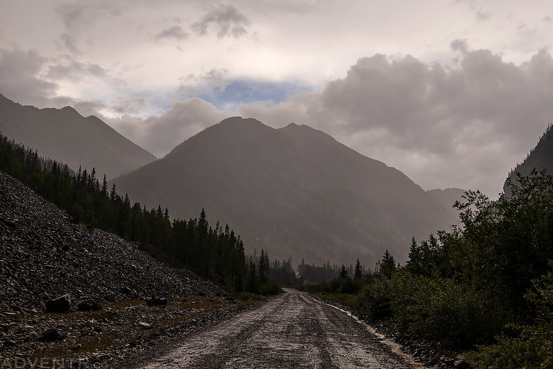
A stormy evening view from Minnie Gulch.

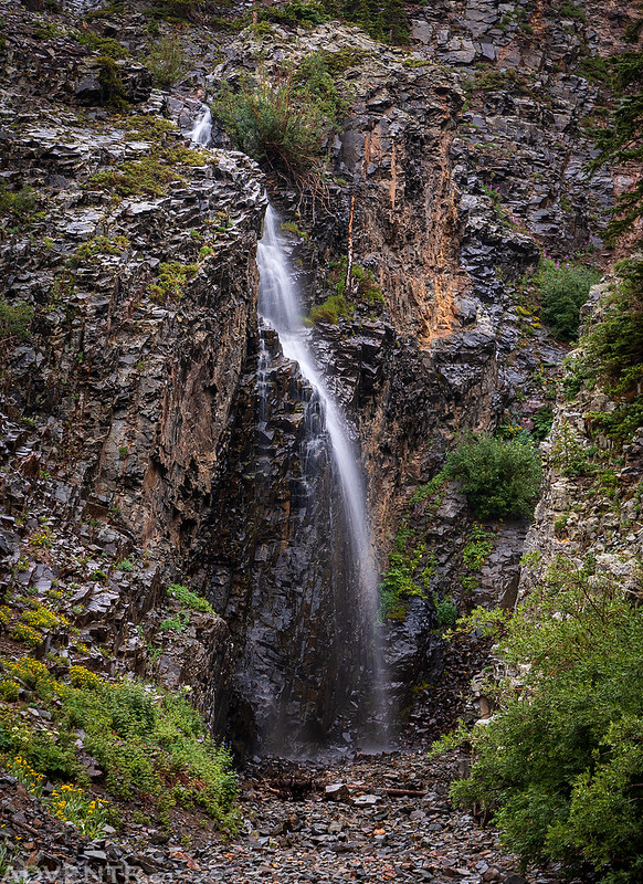
Minnie Gulch Waterfall
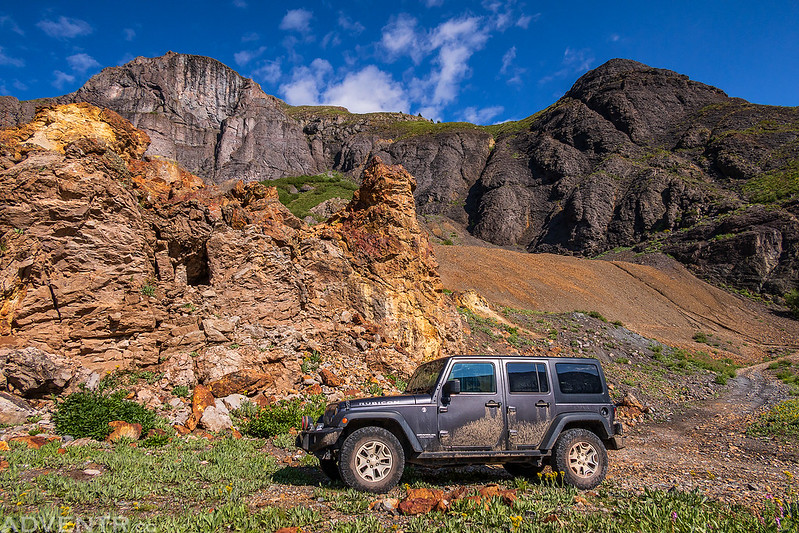
After giving up on my hopes for hiking this evening I headed back over to Cunningham Gulch to find a place to spend the night.
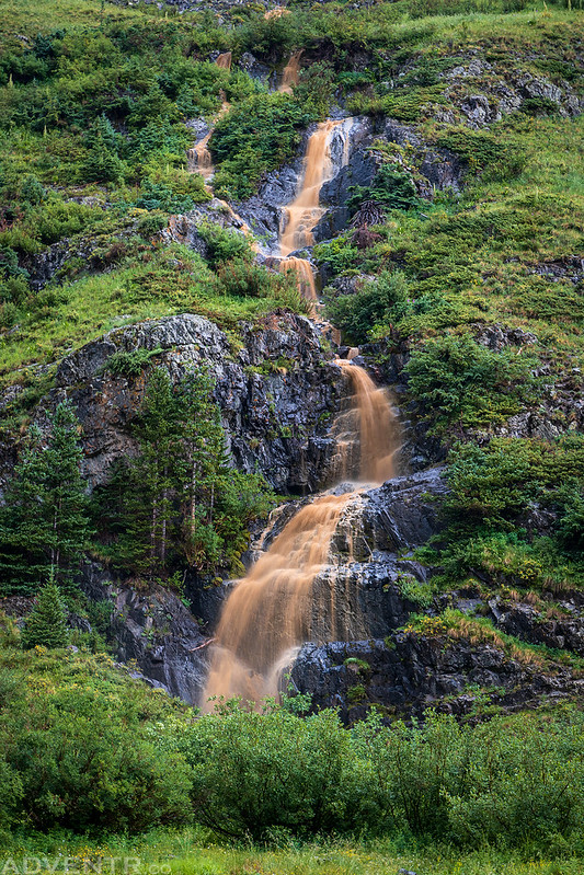
The heavy rain created this muddy-colored waterfall along the way.
I found a place to camp below the Highland Mary Mine and spent the rest of the evening listening to the rain, rumbles of thunder, and podcasts. Then I went to bed early so I could get an early start on Saturday morning. I was expecting the rain to stop shortly after sunset, so I was surprised when it pretty much rained for all of the night. As the morning approached, I was worried that I might not be able to hike at all, but it did finally stop raining about an hour before my alarm got me up at 5:30am. I didn’t waste any time and was on the trail by 5:45am.
Alpenglow on Mountaineer Peak as I followed the old mining track above Mountaineer Creek into Spencer Basin.

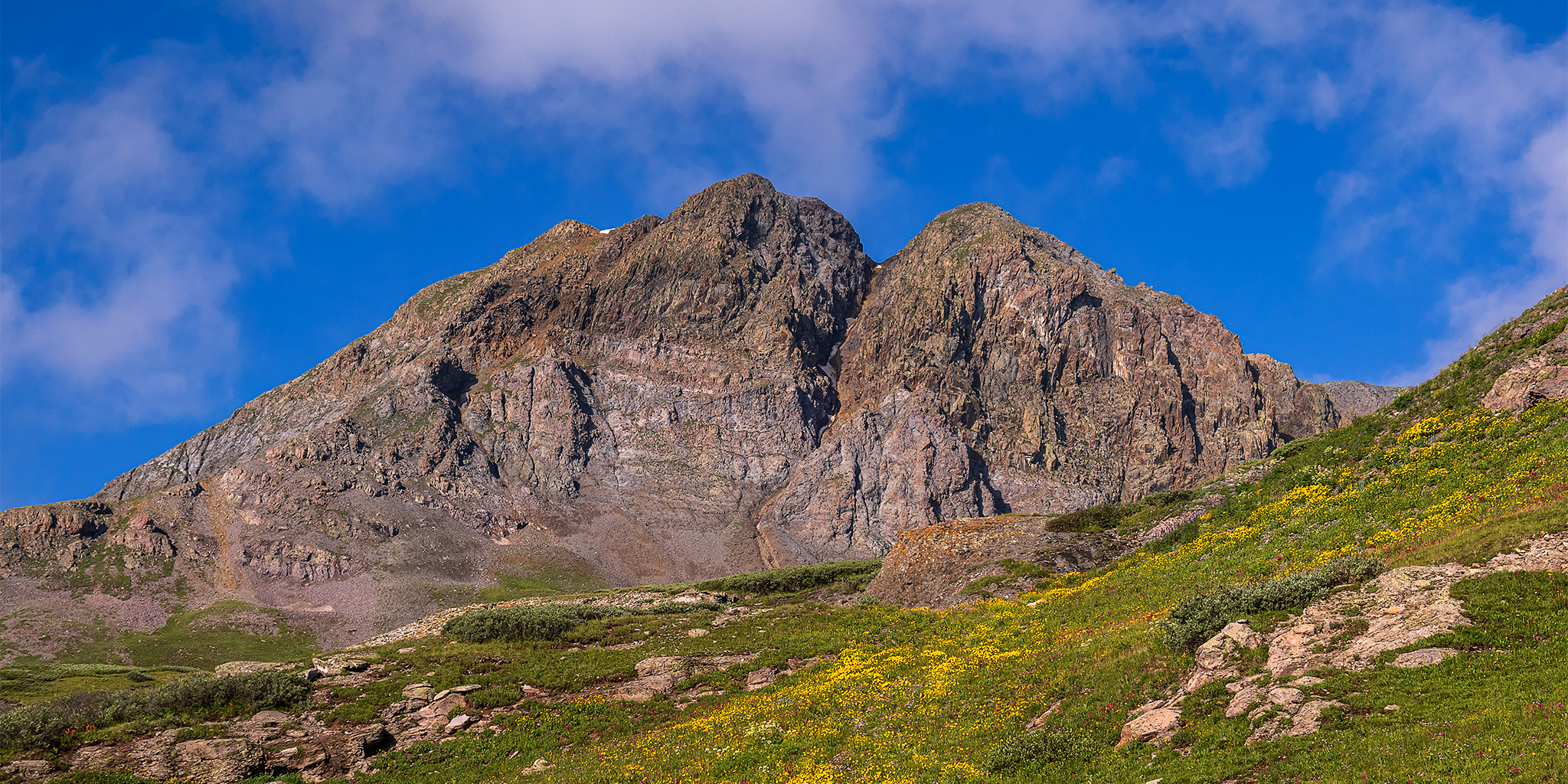
The first light of the day strikes Sugarloaf, which towered above me the entire way.

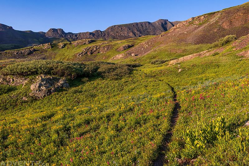
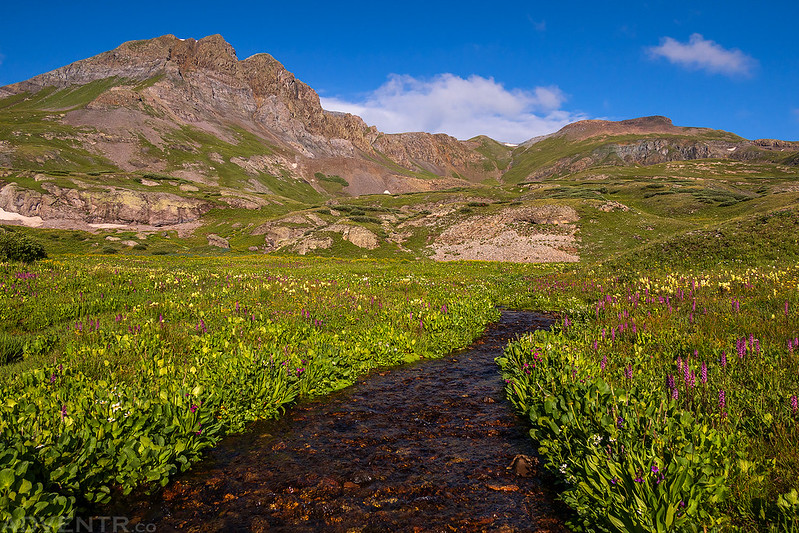
Following a trail through wildflowers in Spencer Basin.
After hiking though a patch of willows and getting absolutely soaked from the waist down, I looked over to my left just as this head popped out from another patch of willows.
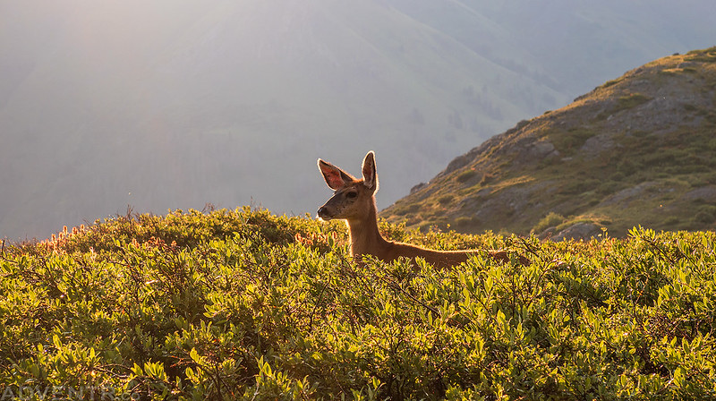
Then there were two deer!

Spencer Basin Trail
Overlooking a tarn in Spencer Basin as I climbed to the ridge above.
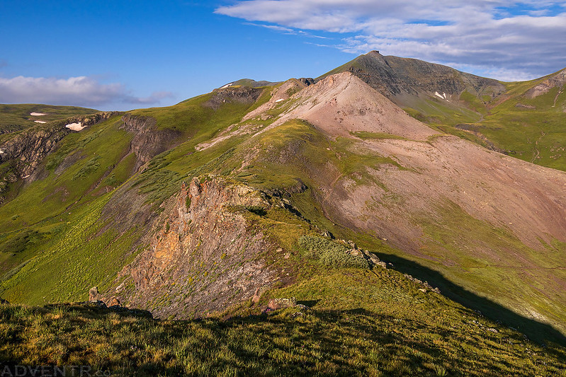
On top of the ridge.
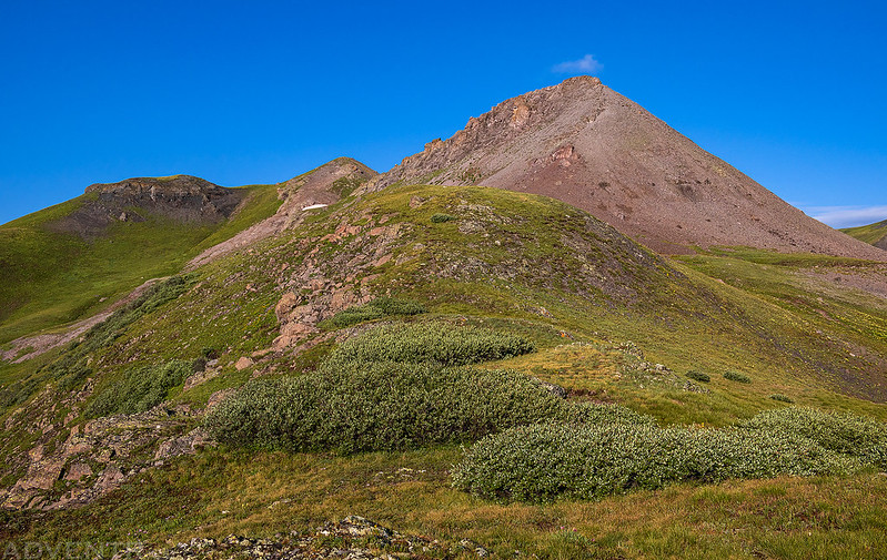
There was a great overview of Spencer Basin from the ridge.
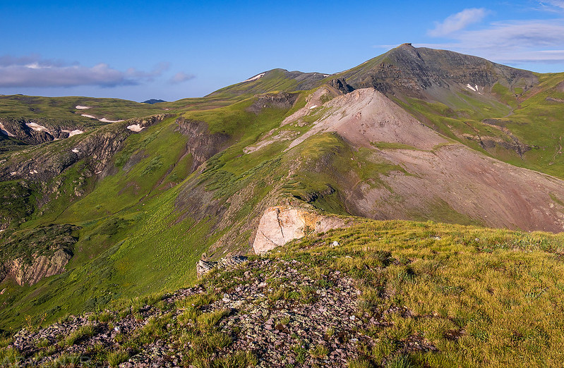
When I reached the summit of Sugarloaf I had a good view across the ridge to Mount Rhoda and Whitehead Peak, both of which I had climbed last August.
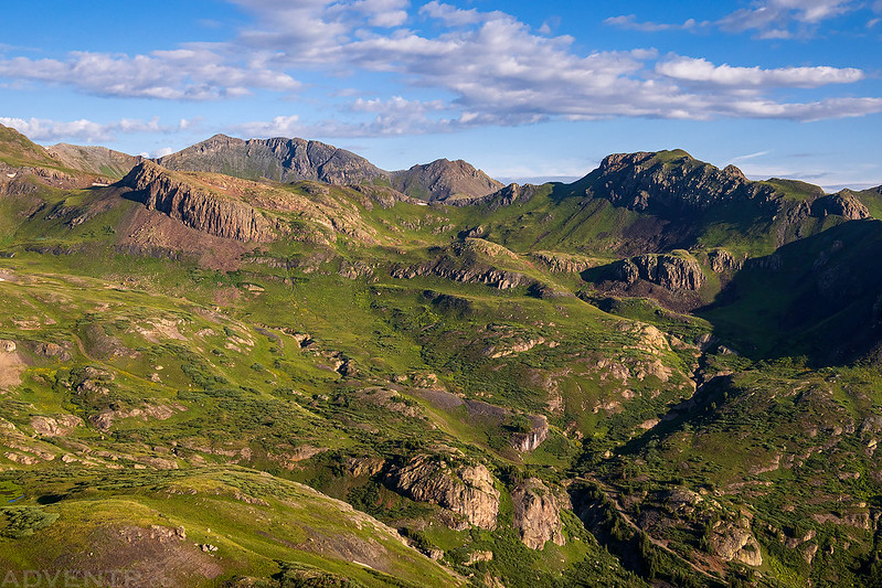
The Grenadier Range was hiding in the clouds this morning.

There was also a hazy view over the Highland Mary Lakes from the summit.

Light on a grassy ridge below…
After I walked around the perimeter of the broad grassy summit it was time to start heading back down.
There was a fun-but-easy rocky section of the ridge along the way.

Dappled light across Spencer Basin.

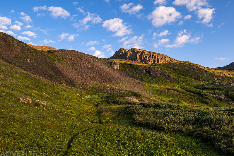
Trail Across Spencer Basin

Creek Crossing
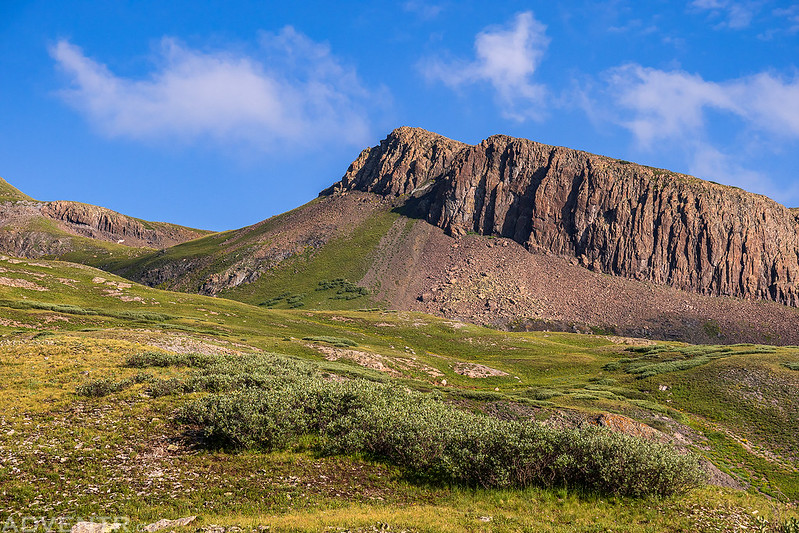
Looking up to the summit of Mount Rhoda.

Cliff Face
A blanket of wildflowers below Mountaineer Peak.

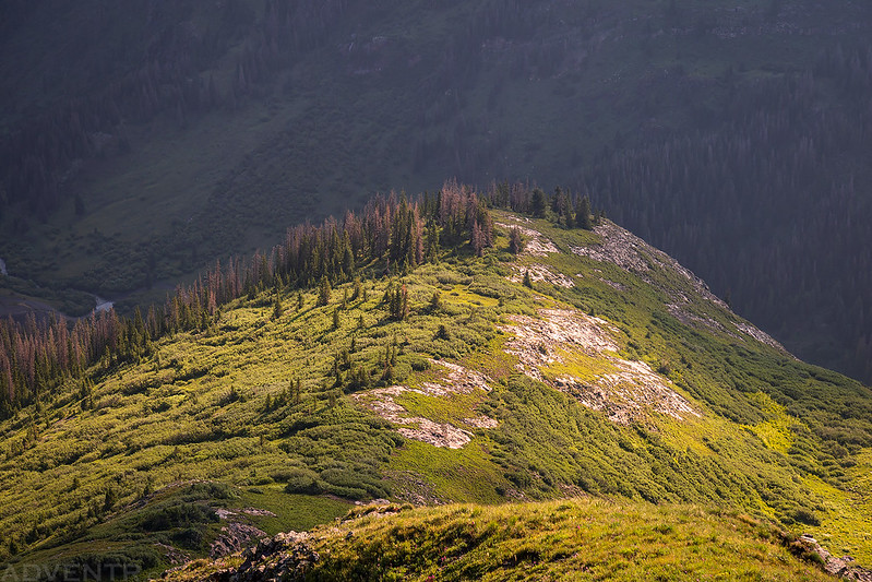
Following Mountaineer Creek back down into Cunningham Gulch.

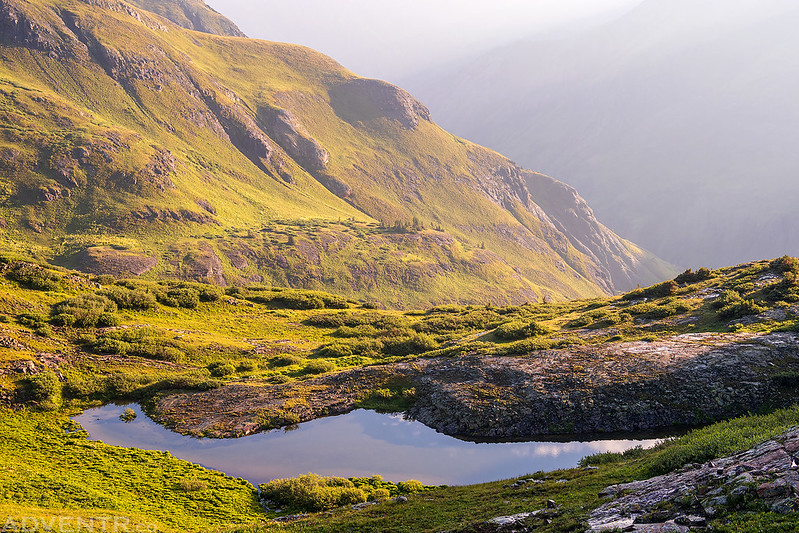
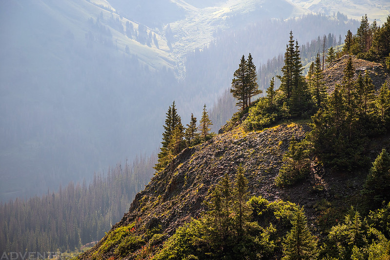
Hazy Gulch View
The trail below Sugarloaf.

I even had a nice view of Sugarloaf from my parking spot.
The round trip hike had only taken me about three hours, which was perfect timing, so I hopped back into my Jeep and started driving home. Even though it was a pretty short day in the mountains, any amount of time spent hiking above treeline is worth it to me!
Minnie Gulch waterfall is beautiful.
Amazing that you hike into that area and we see no evidence of
another human being anywhere. Lucky you.