Press "Enter" to skip to content

Tag: mining history

Edna Mine & Devils Canyon Overlook

Canyons of the Black Ridge Wilderness | Tuesday, April 19, 2022

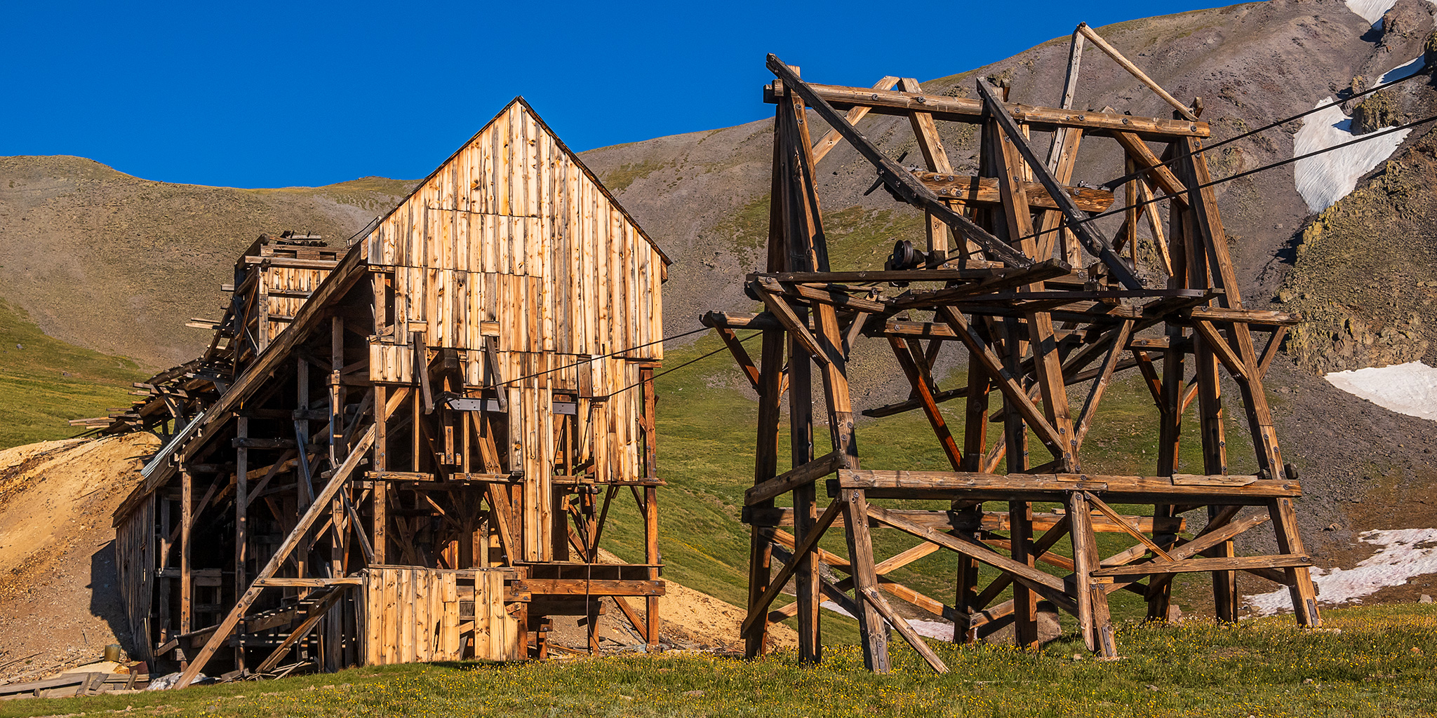
I’ve really been slacking on my After Work Adventures for a while now and had really hoped to change that this spring, but so far I haven’t got out for one hike during the week this year. Well, that finally changed today when I left after work and headed back up into the Black Ridge Canyons Wilderness to search for the Edna Mine, which is an old Uranium mine found near the head of Devils Canyon that was active during the 1950’s and 1960’s. The temperature was into the low 80’s when I started hiking and the sky was pretty cloudy, but the strong winds helped keep me cool and the clouds started to open up a bit while I was exploring the mine, so it turned out to be a very pleasant afternoon for a hike.

Leave a Comment

The Labyrinth Rims: Hey Joe Canyon & Wheeler Trail

Friday – Sunday, December 17-19, 2021

After spending last weekend along the White Rim Trail in Canyonlands National Park, I wanted to get out and explore more of the Labyrinth Rims before the year was up, so that’s where I headed this weekend. As usual, I left after work on Friday afternoon, grabbed a quick dinner and then made my way out to Spring Canyon Point. I found a nice campsite at the edge of Labyrinth Canyon with just enough time left to photograph sunset.

Leave a Comment

White Rim Trail: Queen Anne Bottom to Taylor Canyon

Friday – Sunday, December 10-12, 2021

Back in October, before the prices of backcountry permits in Canyonlands National Park were set to increase, I decided to grab a couple more permits over the winter for campsites along the White Rim Trail. The first permit I got was for mid-December along the western end of the White Rim Trail at the Hardscrabble Bottom and Taylor Canyon campsites. Both were campsites that I had not stayed at yet. I actually had a permit to stay at the Taylor Canyon campsite two years ago when I was working on completing all of the hiking trails in the Island in the Sky District, but a weather system moving through the area that weekend made me change those plans, so I was looking forward to another opportunity. There were also some short hikes along this section of the White Rim Trail that I wanted to check out last year while Diane and Jared were riding the White Rim, but I ended up not having time for them.

Leave a Comment

The Orange Cliffs: North Trail & Millard Canyon Rim

Friday – Sunday, November 5-7, 2021

This weekend I decided to spend a little time hiking and exploring along the Orange Cliffs in the Glen Canyon National Recreation Area, which are the tall Wingate Sandstone cliffs located to the east of Robbers Roost and to the west of The Maze. Since I have already hiked all of the official trails that descend from the Island in the Sky and the Canyon Rims Recreation Area, I thought it was finally time to check out the North Trail which descends from North Point to Elaterite Basin. Most people that hike this trail use it to access The Maze when they don’t have a vehicle that can be driven down the Flint Trail, but since I’ve never had that problem I never really had a reason to hike it before, so I was looking forward to finally checking it out.

1 Comment

Southern Sawatch Saweekend

Friday – Sunday, September 10-12, 2021

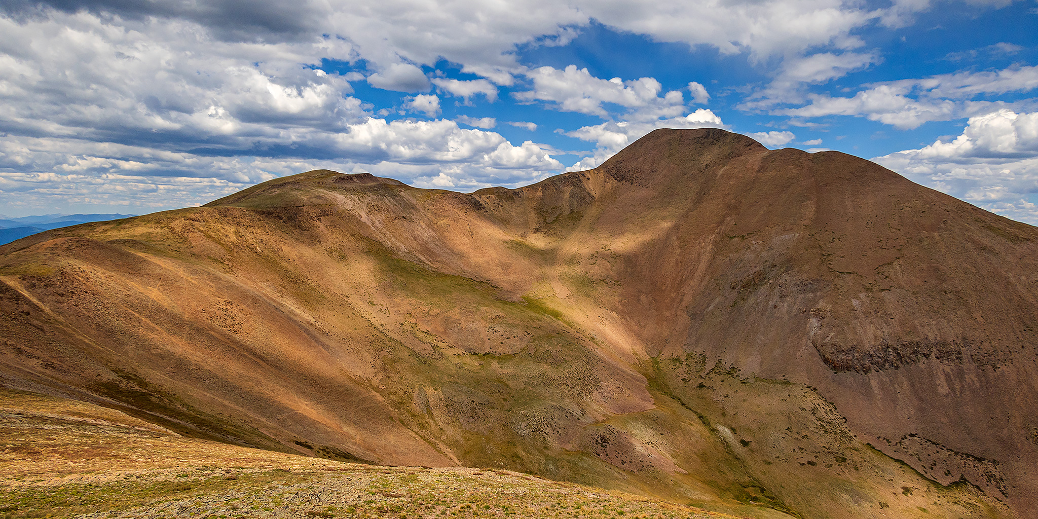
This weekend was going to be the last opportunity for me to hike a 14er this summer, and since I have climbed at least one 14er each summer since 2010 I was originally planning to. However, as I started figuring out my weekend plans I just wasn’t feeling like hiking on a busy trail and was looking for a little more solitude, so I decided to skip the 14ers this year and headed to the southern Sawatch Range to hike a few peaks along the Continental Divide instead. I left from work on Friday afternoon and headed to Gunnison, taking the route through Hotchkiss and Crawford since Highway 50 is still closed until 5:30pm on weekdays and I wasn’t sure how quickly I would get to that point. I topped off my fuel tank in Gunnison and then made my way over to Pitkin and started up the road to Hancock Pass. Unfortunately, the road near the top of the pass was much rougher than I remember it being and I wasn’t comfortable driving a section of it in the dark, so I returned all the way back to Highway 50 and drove over Monarch Pass to the Middle Fork of the South Arkansas River and found a place to spend the night shortly before the end of that road. It was pretty late by the time I arrived, so I went right to bed.

Leave a Comment