Press "Enter" to skip to content

Tag: map

Turkey Flats

Tuesday, June 26, 2018

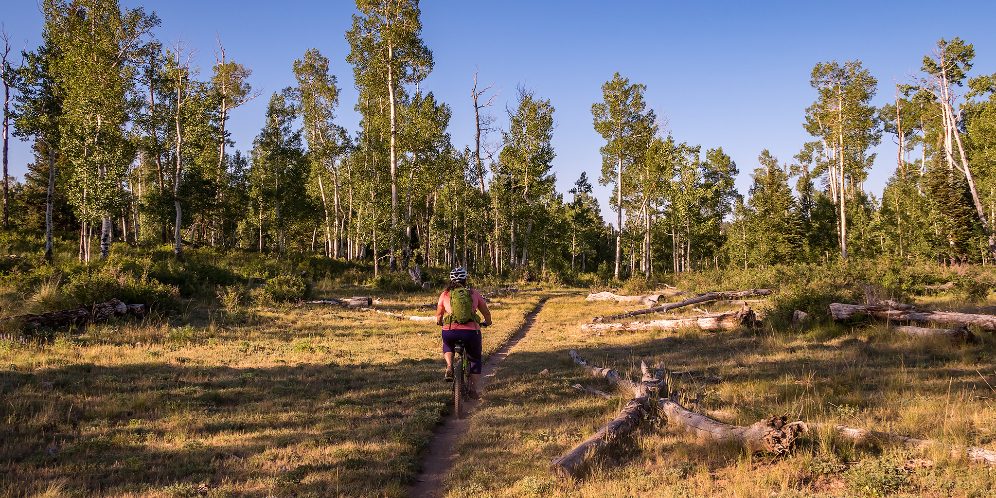
After work on Tuesday, Diane and I loaded up our bikes and headed up to Piñon Mesa above Glade Park so we could go for a ride on the Turkey Flats Trail and beat the heat in the valley. It was 105 degrees down in the Grand Valley when we left home, but when we reached the Fruita Picnic Area to unload our bikes it was a more comfortable 83 degrees out. This evening we were going to combine the Turkey Flats Trail with 16 1/2 Road and the road that goes to Fruita Reservoir #1 to create a five mile loop. It turned out to be a very nice ride and wasn’t too difficult for us who don’t ride our bikes very often. We passed a few deer along the trail and the mosquitoes were out in full force if we stopped for too long, so we made sure to keep moving. There were also plenty of wildflowers blooming along the trail. Here’s a few photos from our weekday ride.

Leave a Comment

Sleepy Cat Peak & The Devils Causeway

A Long Overdue Return to The Flat Tops
Friday – Sunday, June 22-24, 2018

Earlier this year while planning our Memorial Day weekend trip to Dinosaur National Monument, I was scrolling around a map online and it took off on me in the wrong direction and stopped near a mountain called Sleepy Cat Peak (10,853) in the Flat Tops of Colorado. I had never heard of this peak before, but with a name like that I knew we would have to climb it this summer! After looking online for a little bit more information about the peak I found out that it’s actually the 52nd most prominent peak in Colorado with 2,348 feet of prominence. Since this peak is not very high by Colorado standards, we figured it would make a good easy mountain to climb at the beginning of our season this summer to help us start getting back into shape again. Plus, it’s been at least eight years since the last time I visited the Flat Tops, so I’ve been long overdue for a return visit to this area.

7 Comments

Horse Ranch Park Loop

Friday – Saturday, June 15-16, 2018

This turned out to be one of those weekends where nothing seemed to work out as planned. I originally had plans of peak bagging in the Ruby Range near Crested Butte, but when I left work on Friday afternoon I already knew there was a good chance that I was probably going to get rained out by the remnants of Hurricane Bud. This tropical storm was going to be bringing some much needed moisture to the Colorado Plateau and Rocky Mountains over the weekend. The weather forecast was predicting thunderstorms, high winds, heavy rain and even possible flash flooding. Even with the chance of storms high, I decided to head that direction anyway and see if I could at least squeeze in a little hiking or photography before the weather arrived. Little did I know at the time that my biggest problem was going to be road closures and not storms!

8 Comments

McCarty Trail

New Year’s Eve | Sunday, December 31, 2017

Well this is it! My last hike and trip report for 2017. It was another great year for getting out and exploring and I’m already making plans to make 2018 even better! For my last hike of the year I decided to stay closer to home and go for a hike into the Dominguez – Escalante National Conservation Area. Last summer while we were going for a drive through Escalante Canyon Diane spotted a trailhead sign along the road for the McCarty Trail which I had not noticed or heard of before, so I added it to my list to come back and hike another time. Today seemed like a good day to finally check it out.

Leave a Comment

The Cimarron Loop

East Fork & Middle Fork of The Cimarron River
Labor Day Weekend | Saturday – Monday, September 2-4, 2017

Labor Day weekend was upon us again, which meant it was time for another backpacking trip into the Uncompahgre Wilderness! This would be our fourth year in a row backpacking into the northern valleys of the wilderness area, starting with our Wetterhorn Basin (West Fork) trip back in 2014, then continuing with trips into Big Blue Creek and Fall Creek. Earlier this summer we were also able to go on a quick overnighter along the Little Cimarron River to make up for our failed loop last year. With only two remaining major valleys left, we planned to combine the East Fork and the Middle Fork of the Cimarron River into a two night trip that I’ve called The Cimarron Loop.

6 Comments