Press "Enter" to skip to content

Tag: map

East Fork of Pollock Canyon

Saturday, March 14, 2015

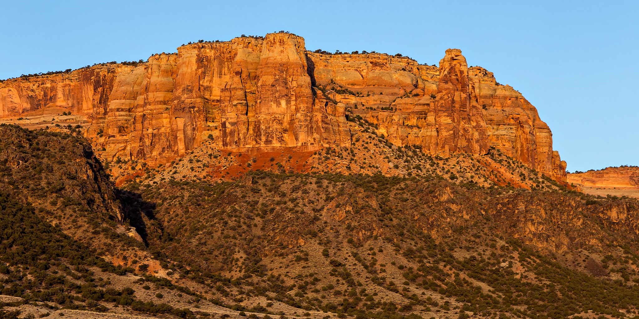
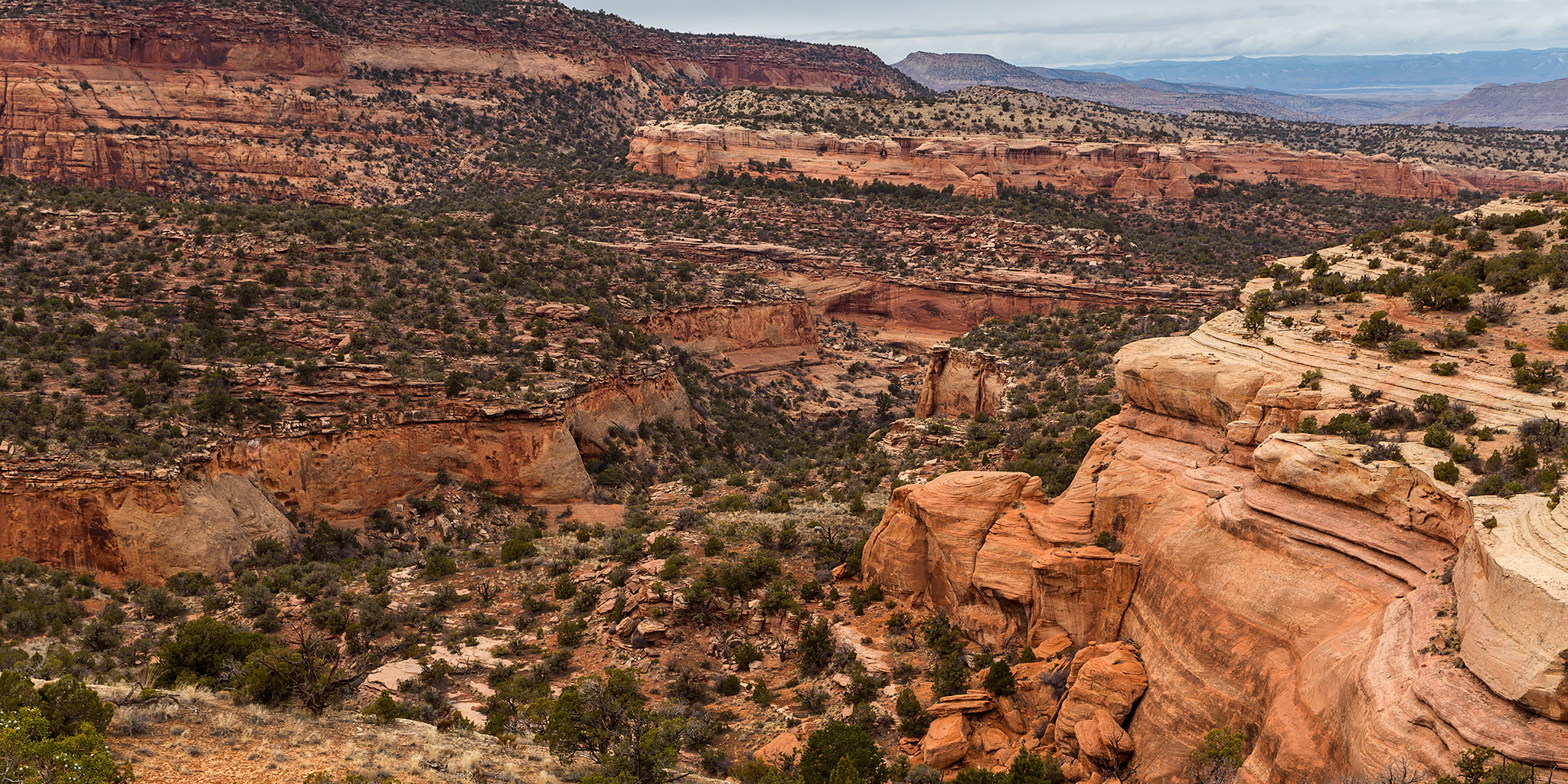
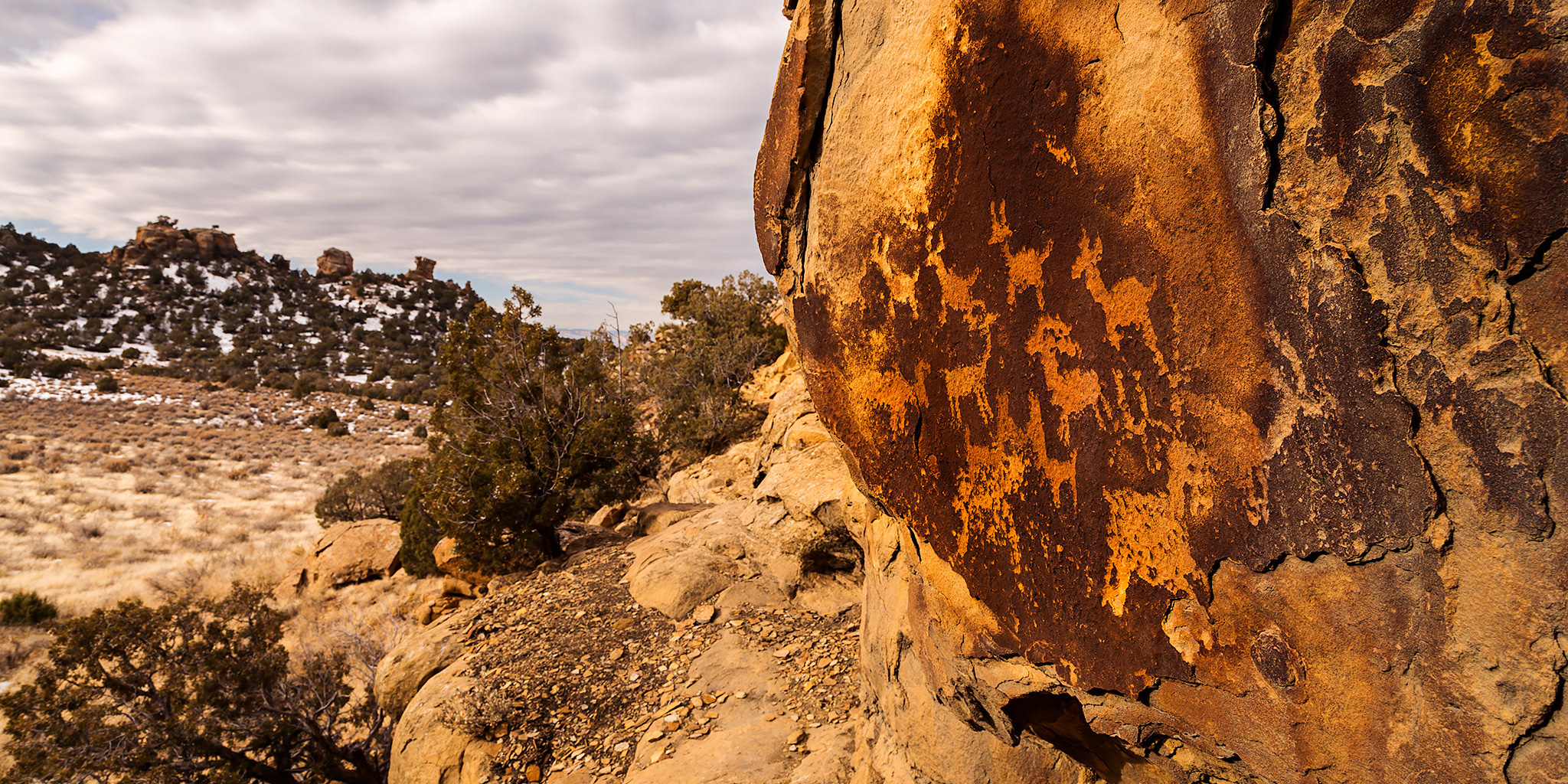
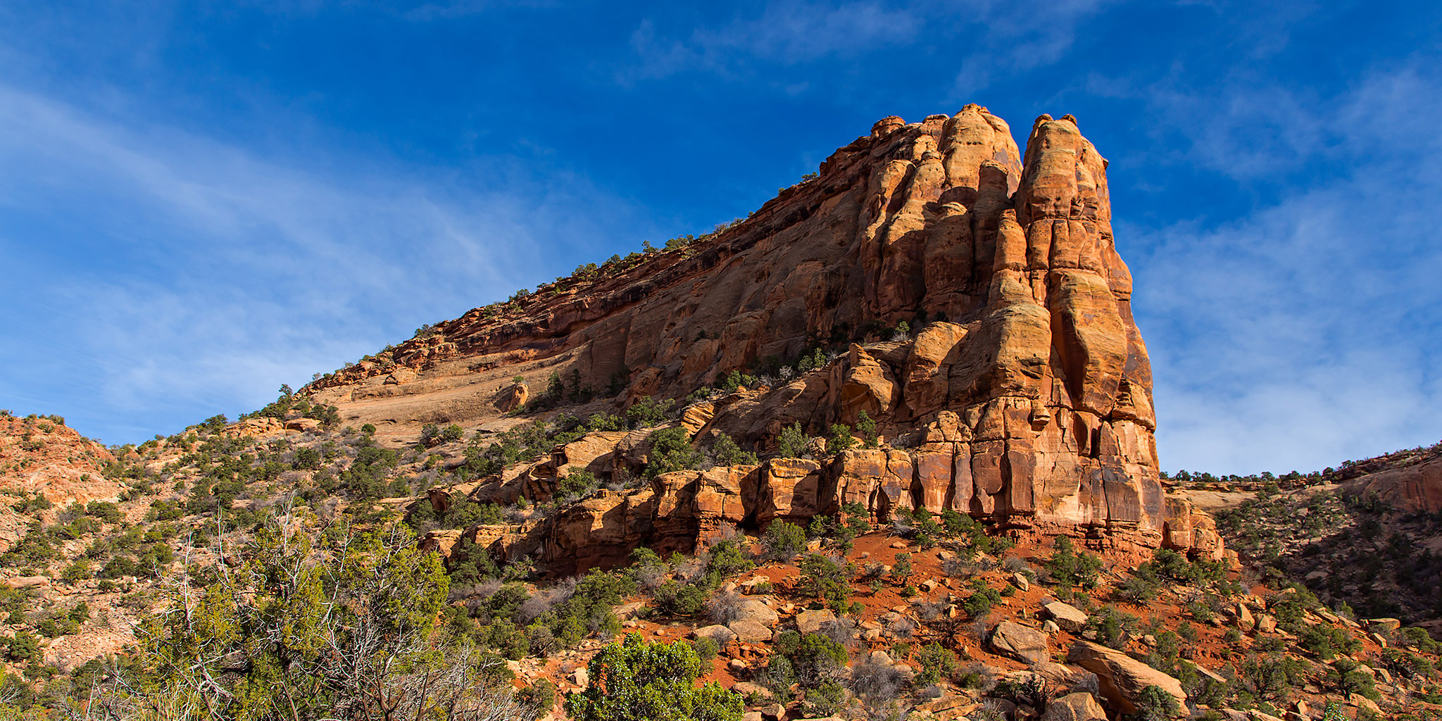
I stayed home this weekend so I could work on a large photo project that I need to get done soon, but when Saturday afternoon rolled around I was tired of staring at a computer screen and had to get out hiking somewhere. It’s a good thing that I live close to a lot of trails and amazing scenery here in the Grand Valley! I had no plans, so I decided to explore the East Fork of Pollock Canyon since I had looked down into it from the Pollock Bench a few weekends ago and thought it would be a nice area to explore.

4 Comments

Monument Mesa Loop

Sunday, March 8, 2015

Since I’ve been busy moving these past couple of weeks, we didn’t stray far from home again this weekend. On Sunday morning we woke up early (even after losing an hour of sleep to daylight savings time) and made our way over to the Colorado National Monument to hike a new loop trail I have wanted to try for a while. Ever since I climbed up Otto’s Staircase and visited Otto’s Bathtub last year, I have wanted to combine those trails into a loop across the top of Monument Mesa.

3 Comments

Pollock Bench Loop

Sunday, March 1, 2015

I didn’t get out hiking yesterday like planned, so I had to make sure that I got outside today! I decided to head over to the Black Ridge Canyons Wilderness near Fruita this afternoon and hiked the Pollock Bench Loop which follows the edge of the higher bench between Flume Creek Canyon and the East Fork of Pollock Canyon. While I really dislike having to post photos that really aren’t that great on my blog, I can’t always hike in great photographic conditions all the time and today was one of those days. With another winter storm moving into the area, the sky was overcast all day and the conditions outside were generally gloomy. Aside from the gray skies the temperature out was very comfortable for hiking and it never rained or snowed while I was on the trail. The complete loop ended up being about 7 miles in length.

Leave a Comment

Palisade Rim Trail

Saturday, January 10, 2015

This morning Diane and I went on a nice loop hike on the Palisade Rim Trail at the base of the Grand Mesa in the Grand Valley. It’s been about four years since I have been on this trail and I have wanted to get back and hike it again with Diane, especially since the last time I was here the trail has been improved and rerouted. It was mostly cloudy and overcast this morning with temperatures hovering around freezing, but there were some nice textures in the clouds and some light did manage to sneak through. All in all, it was a nice short hike close to home.

1 Comment

Red Rock to Black Canyon

Backpacking Red Rock Canyon
Saturday & Sunday, June 7-8, 2014

Deep, Steep and Narrow. That’s how the National Park Service describes the Black Canyon of the Gunnison, and it’s pretty accurate. The Black Canyon is comprised of some of the steepest cliffs, oldest rock, and craggiest spires in North America. I’ve wanted to hike down into the Black Canyon of the Gunnison for quite a while now and thought I would try Red Rock Canyon, the easiest route, for my first time. This trail is about 3.5 miles in length and only drops 1330 feet to the river. Compared to the other routes down to the Gunnison, this one is definitely the least steep.

4 Comments