Press "Enter" to skip to content

Tag: map

Devil’s Canyon Finale

Saturday, January 23, 2016

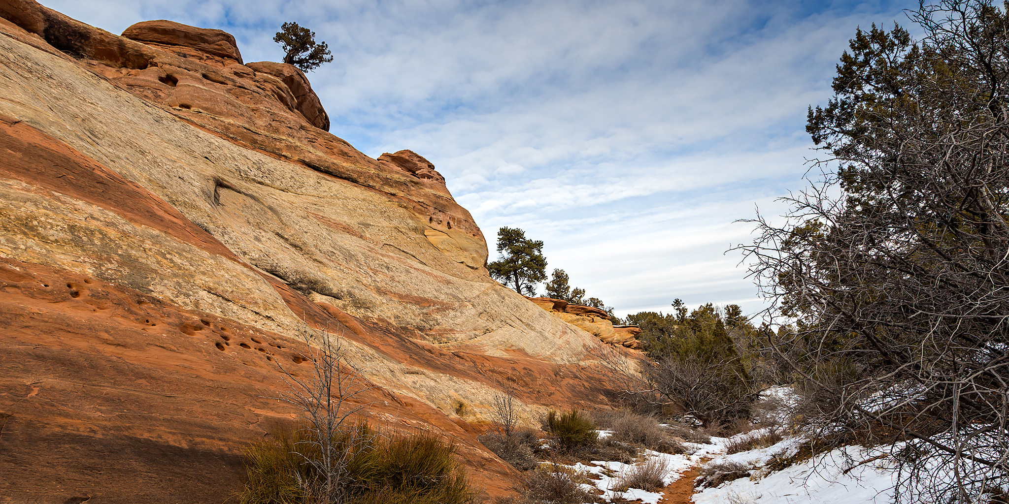
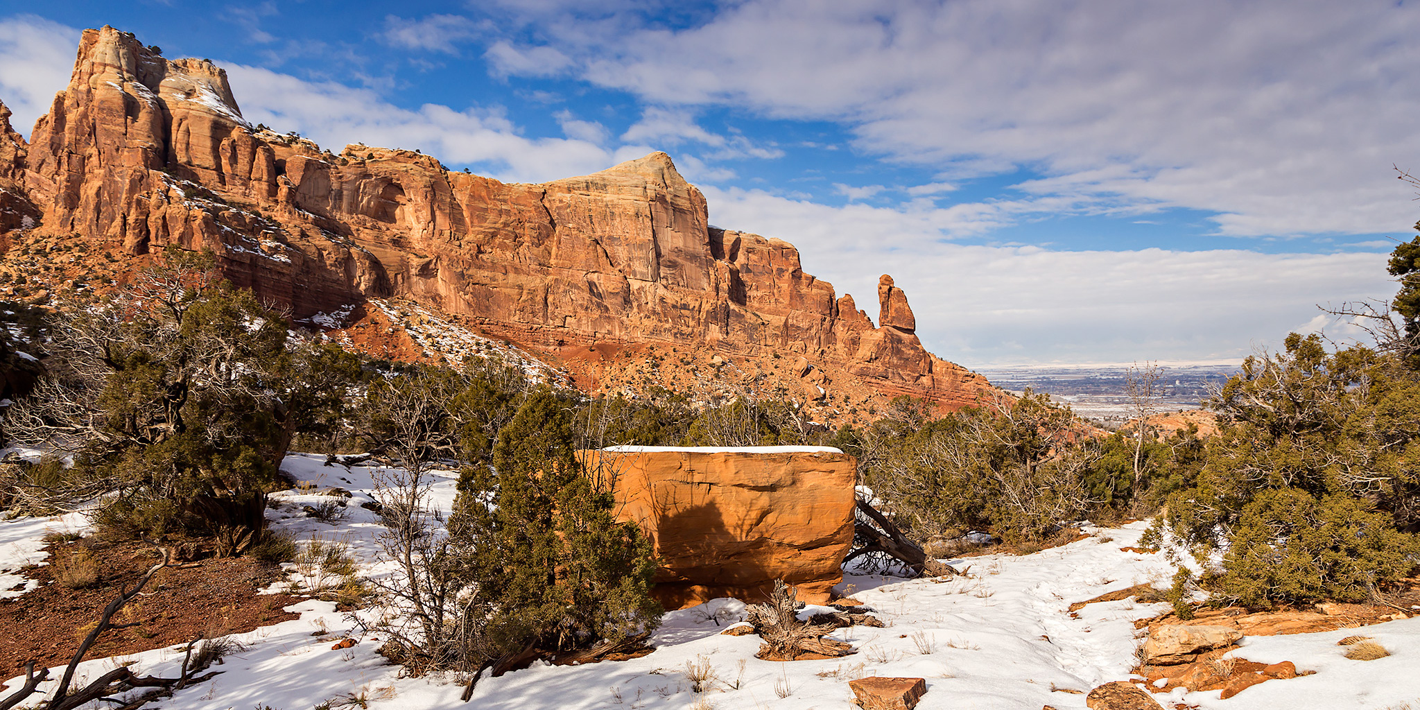
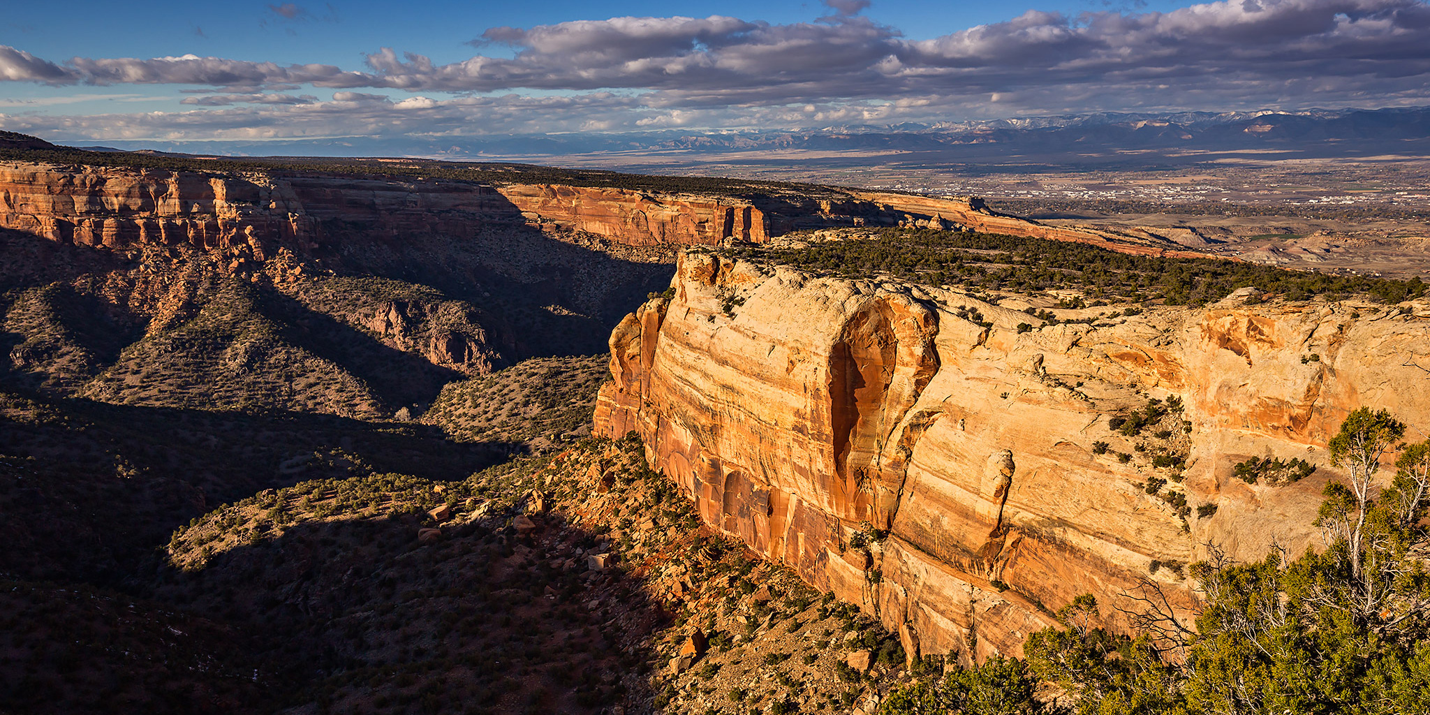
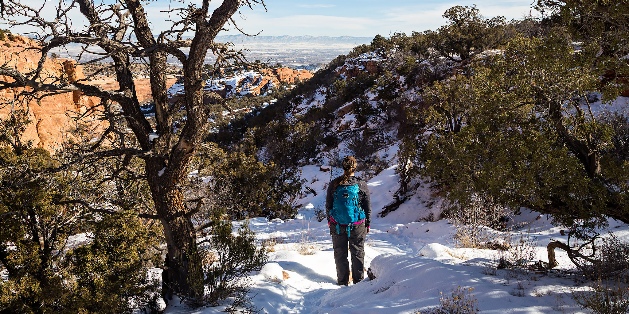
Late this morning Diane and I headed back to the mouth of Devil’s Canyon just outside of Fruita so I could finish hiking a few of the trail segments that I had not been on before. We ended up making a big loop that was about 6.5 miles in length with a stop at a nice overlook into Devil’s Canyon. While most of the trails were still snow-covered, especially higher and on the north side of the cliffs, there were other sections that had melted off entirely. Early in our hike those sections were frozen, but on our way back to the trailhead we encountered a few muddy areas that had started melting in the sun and the above-freezing temperature.

2 Comments

Kodels Canyon Trail System

Saturday, January 16, 2016

We were originally planning to drive down to Ouray this morning for the annual Ice Festival, but Diane wasn’t feeling very well when we got up so we stayed home. Instead, I headed out this afternoon to get a little local hiking in at the McInnis Canyons National Conservation Area trails near Fruita. I have hiked a few of the “K” trails near the mouth of Kodels Canyon in the past but had not been on all of them, so I decided to try and check out the rest. I started from the Kodels Canyon Trailhead along the highway and ended up hiking all of the remaining “K” trails that I had not been on before. The length of the hike ended up being just under 5.5 miles. The temperature outside was a little bit above freezing and I was glad that most of the trails were still covered with a layer of packed snow or I probably would have had to deal with hiking in the mud. Much of the day was overcast and a little gloomy but the sun did show up for a little while and brought a little blue sky, too. I didn’t take many photos on this hike because of the overcast conditions, but I did take a few snapshots along the way when the sun was out.

Leave a Comment

Wedding Canyon Loop

Sunday, January 10, 2016

Our original plan for New Year’s Day was for Diane and I to hike the Wedding Canyon Loop in the Colorado National Monument to celebrate our very first hike together exactly two years ago. However, I was sick all weekend and had to cancel those plans. Now that I am finally feeling better we rescheduled the hike for this afternoon. When we started the hike shortly before noon the sky was pretty overcast and dreary, but after a little while the clouds broke up and let some light through while we were in Wedding Canyon. It turned out to be a nice afternoon for a local hike.

Leave a Comment

Lower Bangs Canyon

Veteran’s Day | Wednesday, November 11, 2015

Since I had Veteran’s Day off from work but Diane still had to go to work and school, I contacted Marty over the weekend to see if he was up for some hiking. He was, so we planned to stay close to home and explore the lower reaches of Bangs Canyon just outside of Grand Junction this morning. After a night of rain and snow we knew it was going to be a wet hike. I met Marty at the trailhead just outside of Whitewater along East Creek at the mouth of Unaweep Canyon about an hour after sunrise.

Leave a Comment

McDonald Creek

Sunday, October 25, 2015

Our original plan for today was to visit my geocache on Winter Camp Ridge just outside of Arches National Park and then explore a little more of Lost Spring Canyon. We left home later in the morning and made our way into Utah to the Yellow Cat Road, however we were quickly stopped by slippery mud, quicksand and large cutbanks at a crossing of Pinto Wash from the recent heavy rain. Without a good place to winch from in the area, we decided it was best to turn around and come back another time after the area had more time to dry out. It was time to find something else to do.

6 Comments