Press "Enter" to skip to content

Tag: landsend peak

Gunnison Gorge: Smith Mountain Jeep Road

After Work Adventures | Friday, June 14, 2024

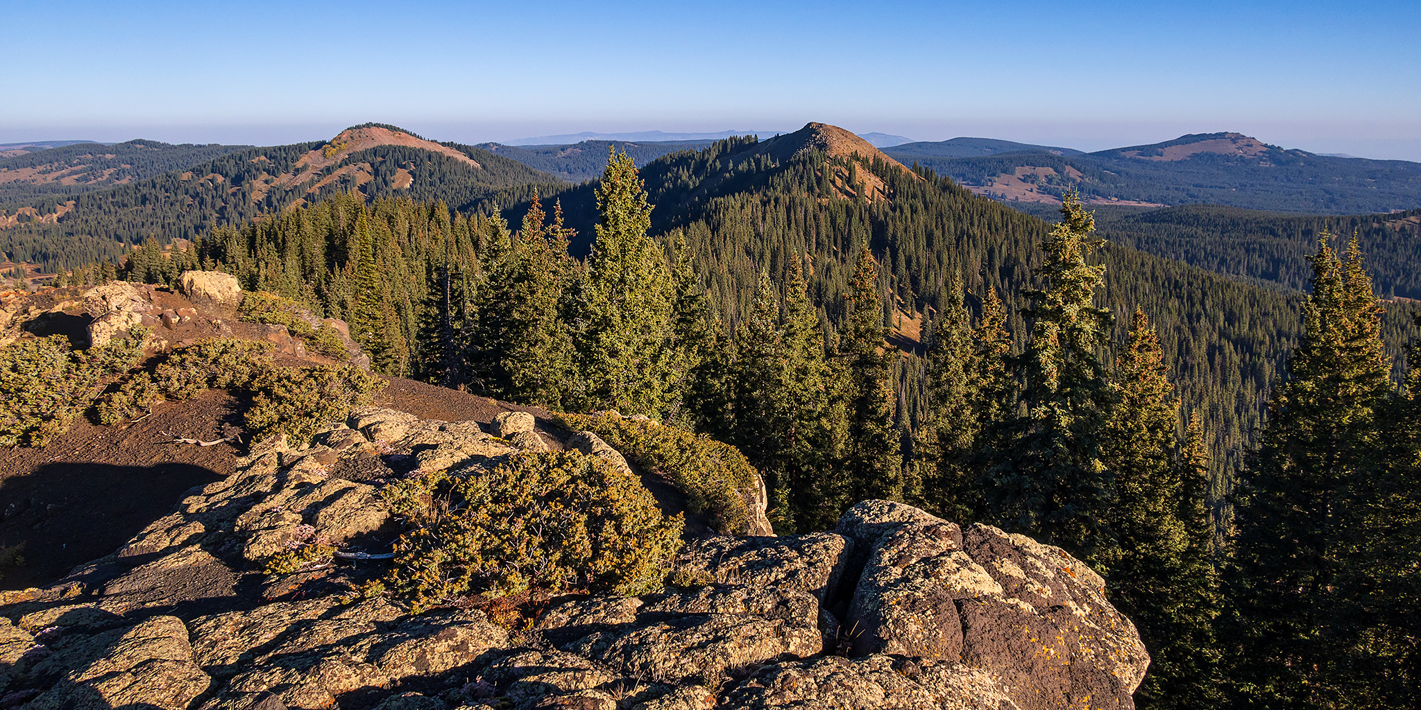
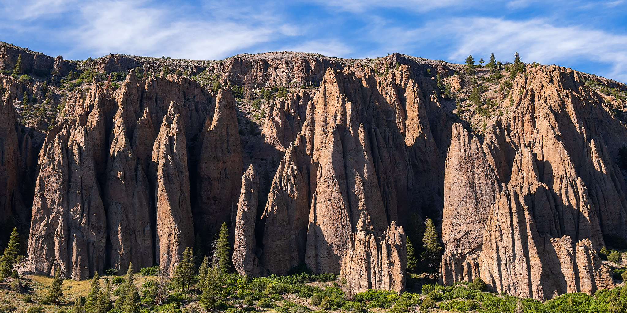
This weekend I was going to be staying close to home so I could spend a little time on the Colorado River, but since a cold font had come through the area and dropped temperatures significantly for the day, I thought it would be a good idea to head over to the Gunnison Gorge National Conservation Area after work so I could go for a scenic drive on the Smith Mountain Jeep Road and hike to a couple of highpoints along the way. After leaving work on Friday afternoon I drove over to Delta, grabbed dinner in town and then headed over to the Smith Mountain Saddle Trailhead where I started driving up to the top of the ridge above the Black Canyon of the Gunnison. As I was making my way up the mountain a fast-moving storm storm moved across the valley from the Uncompahgre Plateau and quickly dropped the temperature another 15 degrees as the wind picked up.

Leave a Comment
West Elk Loop: Last of the Curecanti Trails

Curecanti National Recreation Area | Saturday & Sunday, June 24-25, 2023

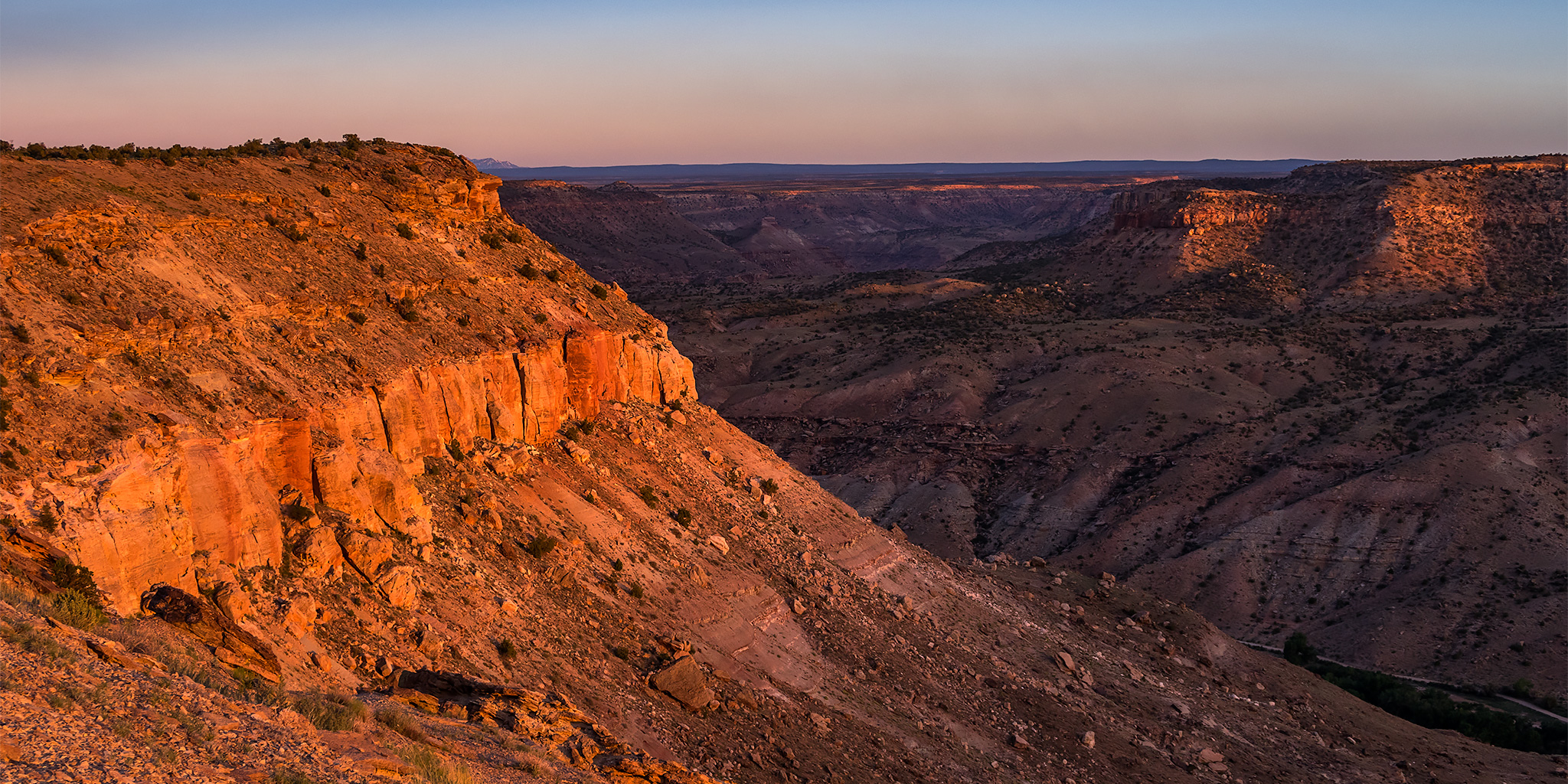
After hiking through the Dark Canyon of Anthracite Creek on Saturday morning I returned to Hotchkiss and grabbed a burger from 133 BRGR for an early lunch and then continued following the West Elk Loop Scenic Byway into the Curecanti National Recreation Area so that I could finish what I started last month and complete hiking all of the official trails within the park. I planned to start with the Neversink Trail, which is located just a few miles outside of Gunnison at the very eastern edge of the Recreation Area, and then I would work my way back west toward home. Since none of the three trails I had left to hike were very long, I also explored a couple of the backroads along the way that headed up toward the edge of the West Elk Wilderness in the Gunnison National Forest.

Leave a Comment

Highpoint of the Grand Mesa: Crater Peak

Goodenough Reservoir Peaks: Mount Darline & Mount Hatten
Friday & Saturday, September 24-25, 2021

After spending a few days on the Green River earlier in the week, I would be leaving for a full week of exploration on the Colorado Plateau this upcoming Friday, so this weekend would be my last opportunity to get into the high country for some peak-bagging to finish off the summer season. I needed this to be a quick trip near home so I could be back by Saturday afternoon to start preparing for the upcoming trip to southern Utah next week, so I thought this would be the perfect opportunity to hike to the highest point on the Grand Mesa. Although I have already hiked to the old fire lookout on Leon Peak (11,236), which is the highest point in Mesa County and located on the Grand Mesa, Crater Peak (11,327) in Delta County is actually the highest point on the Grand Mesa.

Leave a Comment

North Fork of the Gunnison River

Paonia River Park to the Gunnison Forks Recreation Site
Independence Day | Thursday, July 4, 2019

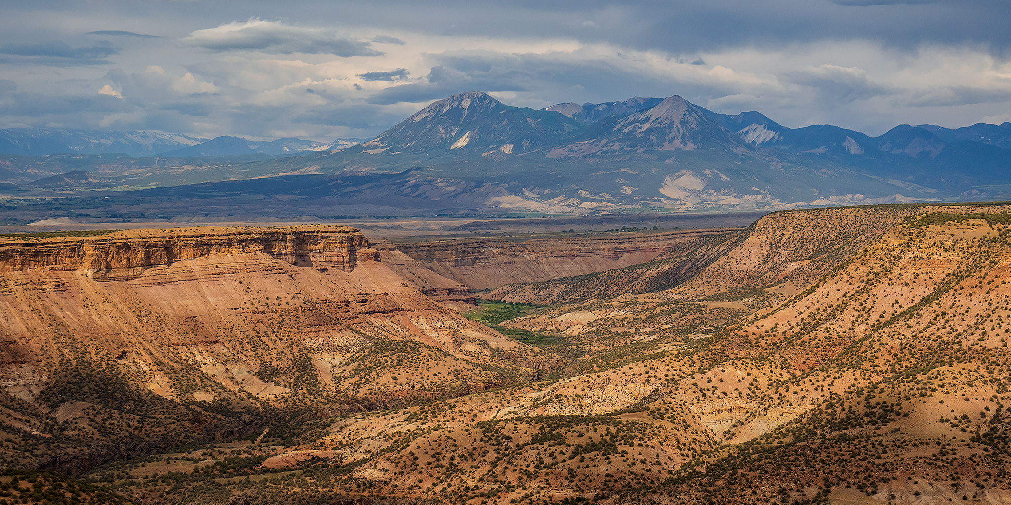
This year for the Fourth of July I was looking to go on one last river trip before I started heading into the mountains for the summer season. Since I only had one day off from work for the holiday I wanted to go somewhere close to home and on a river that was still not running too high, which was hard to find this year! On Wednesday afternoon Jackson, Chris and I decided that we would give the North Fork of the Gunnison River a try from the Paonia River Park to its confluence with the Gunnison River. The North Fork of the Gunnison is formed just below the Paonia Reservoir by the confluence of of Muddy Creek (not that Muddy Creek) and Anthracite Creek, which originates in The Raggeds of the West Elk Mountains. Since we have already floated most of the Gunnison River from Pleasure Park to Whitewater, we thought it would be nice to work our way further up the North Fork and finally check it out.

2 Comments

The Black Canyon of the Gunnison

Saturday, October 17, 2015

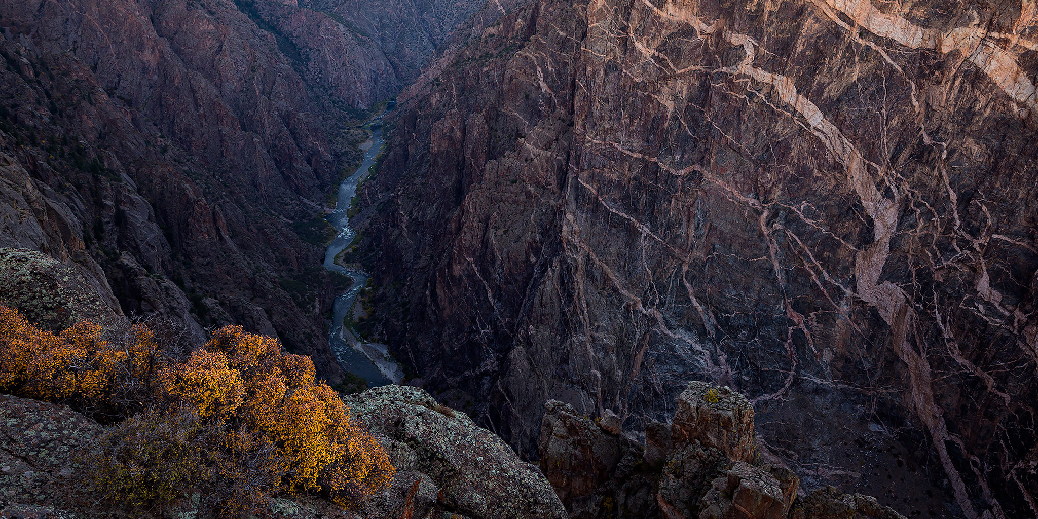
It’s been a few years since I had been to many of the main overlooks along the South Rim in the Black Canyon of the Gunnison National Park and I thought it was time to finally get back for another visit. Diane and I left home early enough on Saturday morning so that we were able to make it to the Cedar Point overlook about a half hour before the sun came up. I spent that time photographing The Painted Wall and the deep canyon below us until shortly after the sunrise. Once the sun was up we drove the rest of the way to the end of the road and hiked out to Warner Point since I had never been out there before. Clouds started rolling in from the west as we hiked back to the trailhead as a storm front moved into the area that was supposed to bring us some rain for the next couple of days. After our hike, we drove back out of the park and stopped at a couple of the other viewpoints along the way. Before leaving we drove down the East Portal Road to the Crystal Dam on the Gunnison River and were pleasantly surprised to find a couple nice patches of fall colors along the way. It’s always nice to spend a few hours along the rim of The Black Canyon.

2 Comments