Raggeds Wilderness | Friday & Saturday, June 23-24, 2023
With the desert trails starting to heat up, it’s now time for me to start chasing cooler temperatures in the mountains after having a great season on the local rivers this spring. While there is still a lot of snow up in the high country from our big winter, I decided to start out with some lower elevation hikes this weekend. Since Colorado Highway 133 had finally reopened up earlier in the week I planned to spend Saturday morning hiking through the Dark Canyon of Anthracite Creek into the heart of the Raggeds Wilderness. I left from work on Friday afternoon, made a quick stop for gas in Delta and then followed the North Fork of the Gunnison River until I reached the Kebler Pass Road just below the Paonia Reservoir.
I stopped at an overlook along the Kebler Pass Road to eat dinner while I enjoyed this view of the Raggeds Wilderness.

After dinner I drove up the Munsey Creek Road to see if there were any places to camp in the area.

Then after a brief stop at the Dark Canyon Trailhead near Erickson Springs, I found a sign stating that the trail was closed to stock and not recommended for hikers after about 2.5 miles, so I considered changing my plans and drove over to Horse Ranch Park to see what the conditions were like over there.
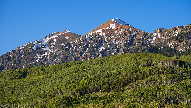
Here’s a view of the southern end of the Ruby Range (Ruby Peak & Mount Owen) viewed from Horse Ranch Park. In the end I decided I would just stick with my original plans to hike into Dark Canyon in the morning.
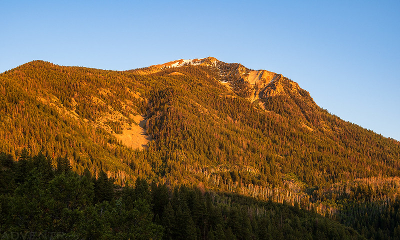
An evening view of West Beckwith Mountain as I drove back to Munsey Creek.

The Raggeds

There seemed to be smoke in the air that made for hazy views, which would stick around all weekend.

I returned to a campsite I had passed by earlier and then watched the sunset on the surrounding peaks before going to bed early.

Marcellina Mountain
I woke up shortly before sunrise on Saturday morning and the temperature was a crisp cool 32 degrees out. I ate a quick breakfast and then drove back down to the Dark Canyon Trailhead and started hiking into Dark Canyon.
Here’s one of the warning signs about the Dark Canyon Trail being closed. Hiking travel was only ‘not advisable’ so I hoped I’d be able to continue past that point and make it all the way to the Devils Stairway. In the end I only found a small part of the trail had collapsed and it was very easy and safe to walk around. Nothing to really be concerned about.

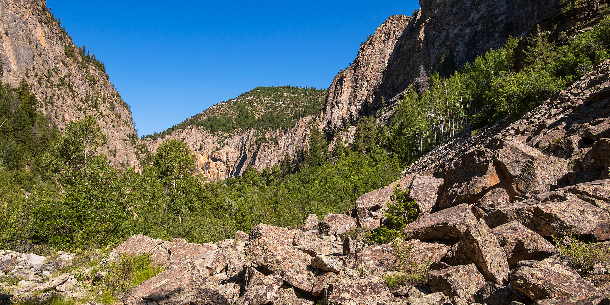
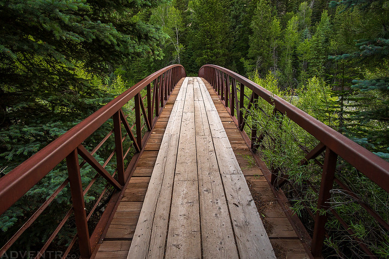
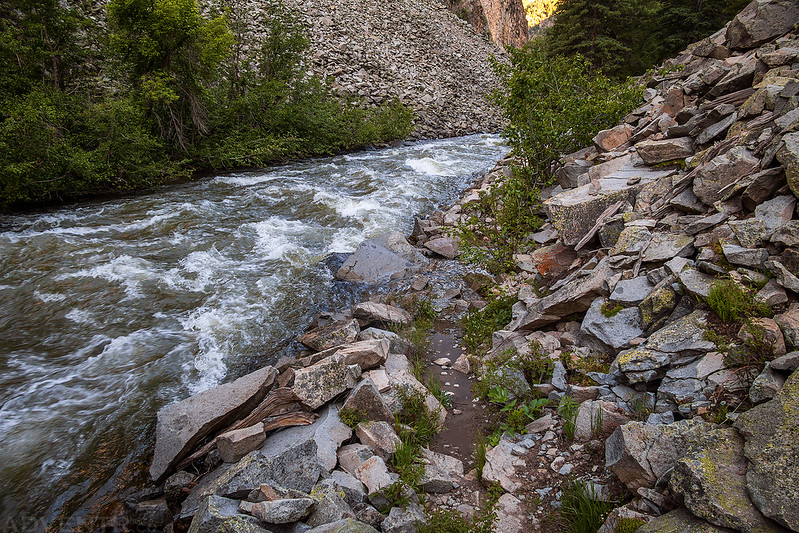
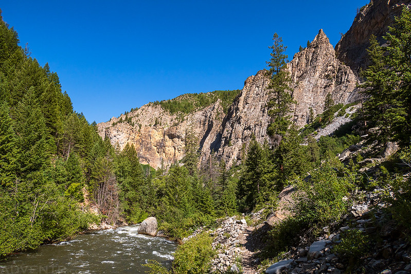
I crossed the bridge to the other side of Anthracite Creek and continued up into Dark Canyon.
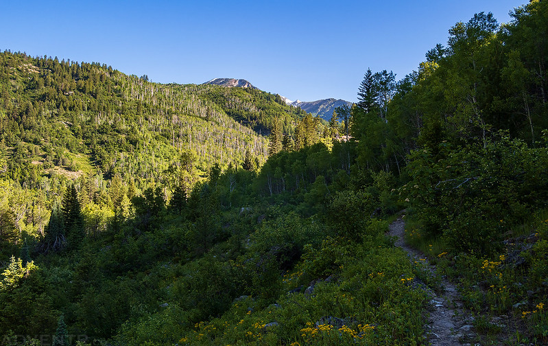
It wasn’t long until I followed the trail into the Raggeds Wilderness.

Much of the trail, especially after the first mile or two, was overgrown and in the trees, so views were limited. I also ended up picking four ticks off my pants and socks throughout the hike, so be careful about that!

Colorado Columbine

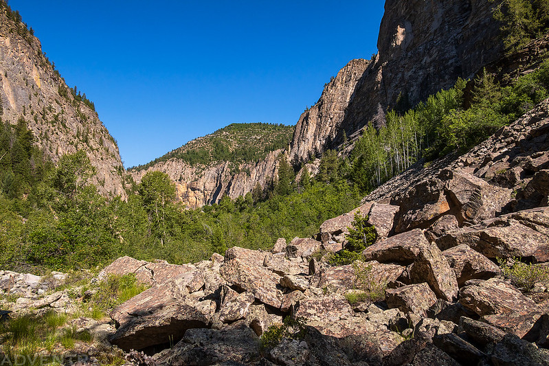
Anthracite Creek Canyon

Dark Canyon was in the shadows for much of my hike upstream.

There were a couple sections of trail where the creek had jumped the bank, but they were all easy to get around.
This is one of the few viewpoints where I could see some of the peaks of the Ruby Range (Richmond Mountain & Hancock Peak) from the trail.

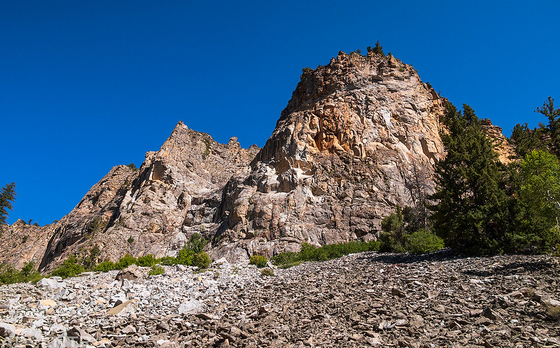
The trail climbed higher above the creek and offered a nice view of Prospect Point over the confluence of Anthracite Creek and Ruby Anthracite Creek.

I did encounter once section of the trail that was covered with boulders and dirt from an avalanche over the winter, but it was also easy to cross.

The second bridge I crossed took me over North Anthracite Creek.

North Anthracite Creek
After crossing the third and final bridge over Middle Anthracite Creek I started hiking up the Devils Stairway, but only went up a little ways before turning around and starting back.
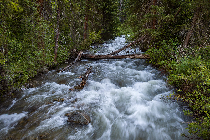
Bear Gulch Cascade

Dark Canyon was out of the shadows and in the light on my way back, so I took a few more photos along the way.


Crossing back over Anthracite Creek shortly before returning to the trailhead.

After returning to my Jeep at the trailhead I followed the West Elk Loop back to Hotchkiss for lunch and then spent the rest of the weekend hiking in the Curecanti National Recreation Area.