Press "Enter" to skip to content

Tag: book cliffs

The High Plateaus of Utah: Northern Trek

The Plateau Provence: Peaks & Plateaus of the Colorado Plateau, Part III
Friday – Sunday, July 19-21, 2024

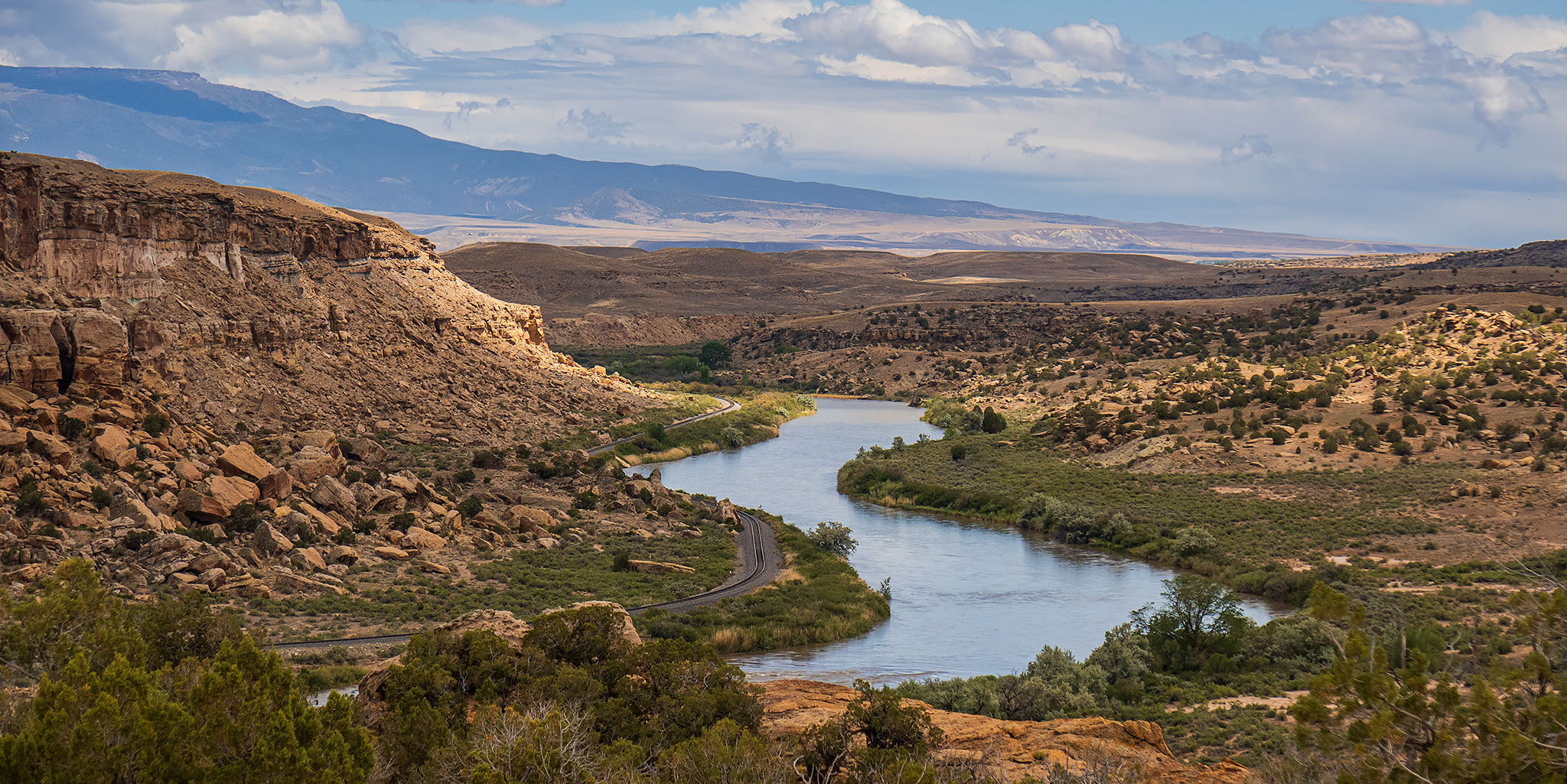
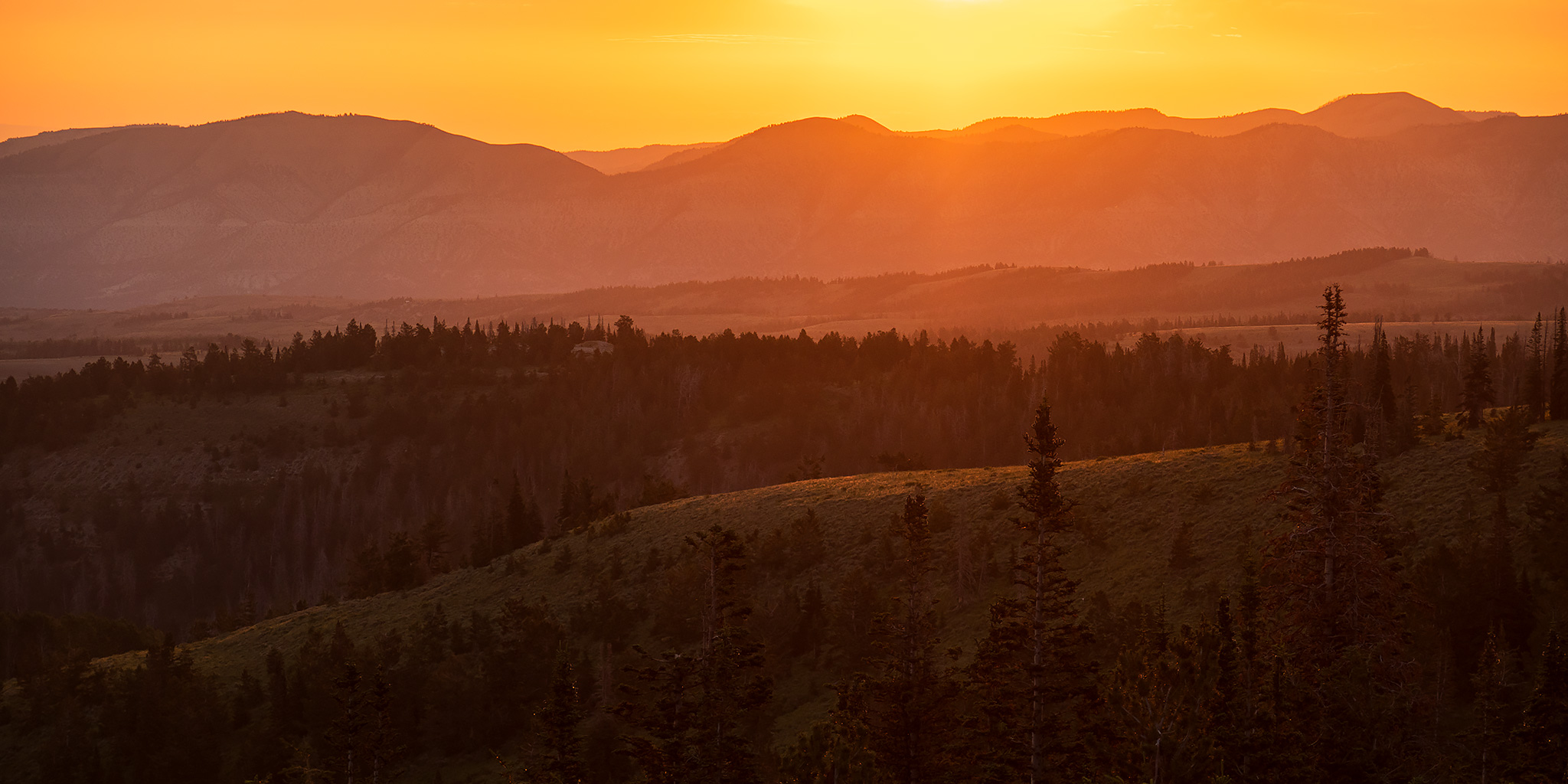
After spending two weekends exploring the High Plateaus of Utah last summer, I have been looking forward to getting back out into that high country again this year and thought this weekend would be a good time to do so. This time I decided to head up into the northern region of the High Plateaus and planned to start at the edge of the Tavaputs Plateau before making my way westward to the Gunnison Plateau (San Pitch Mountains) while driving some of the backroads in the area and visiting a couple new highpoints along the way. My timing for this trip couldn’t have been much better since the weather forecast was predicting very wet and stormy weather throughout the mountains of Colorado the entire weekend, while it seemed that Central Utah was going to be staying mostly dry, aside from the typical afternoon thunderstorms. Just like last year, I had a great time exploring this region and am hoping to get down to the Southern Plateaus later in the summer.

1 Comment
The Colorado River: Palisade Rim to Riverbend Park

After Work Adventures | Tuesday, July 9, 2024 | Average CFS: 3,860

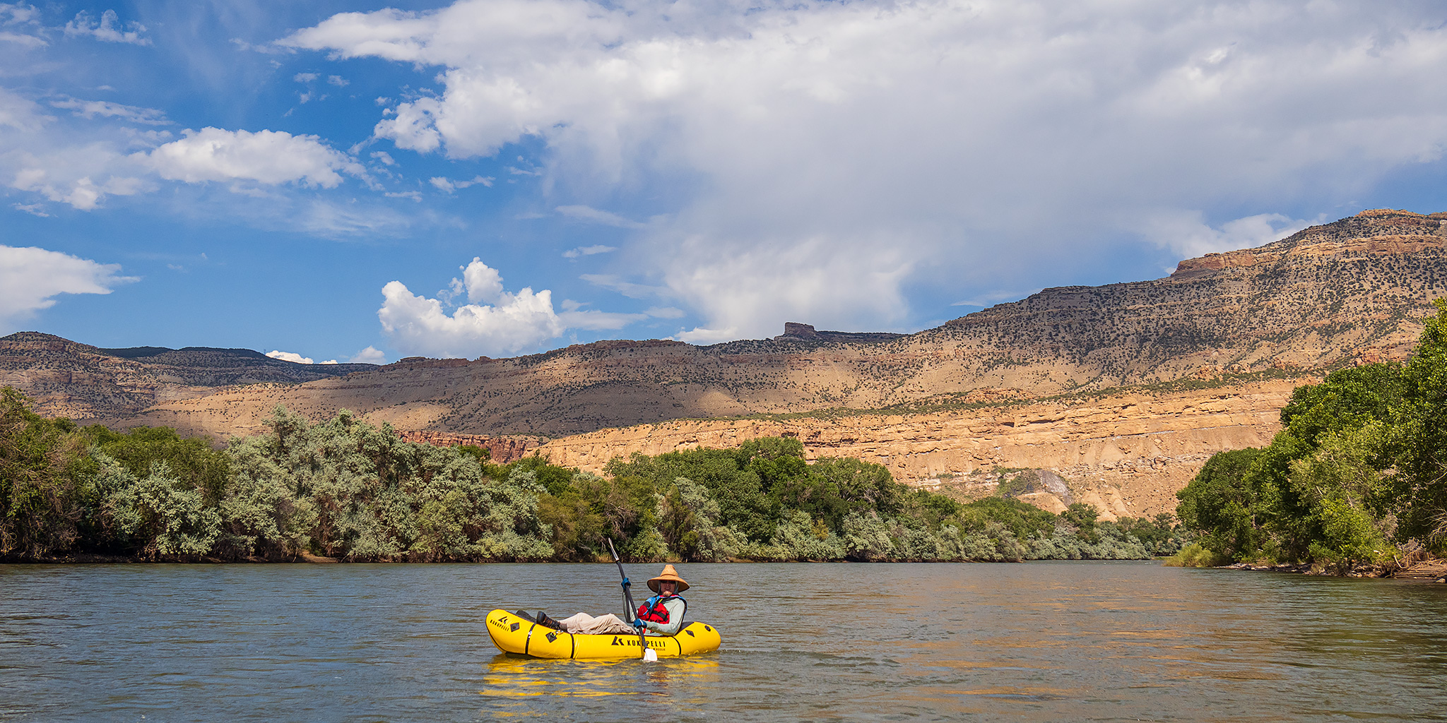
This afternoon Jackson and I headed out after work to go for a short float with our packrafts on the Colorado River from the Palisade Rim Trailhead to the Riverbend Park in Palisade. As we get very close to floating all of the Colorado River from Glenwood Canyon to Lake Powell, this was one of the few remaining sections of the river left for both of us. The water level of the river has dropped quickly and significantly over the past week, so it was moving a little slower than our past couple of trips further upstream and we had to watch out for rocks just under the surface, but the entire float still took us less than an hour and we were home in time for dinner.

Leave a Comment

Third Flats: Twist-N-Shout & Second Thoughts

After Work Adventures | Monday, July 1, 2024

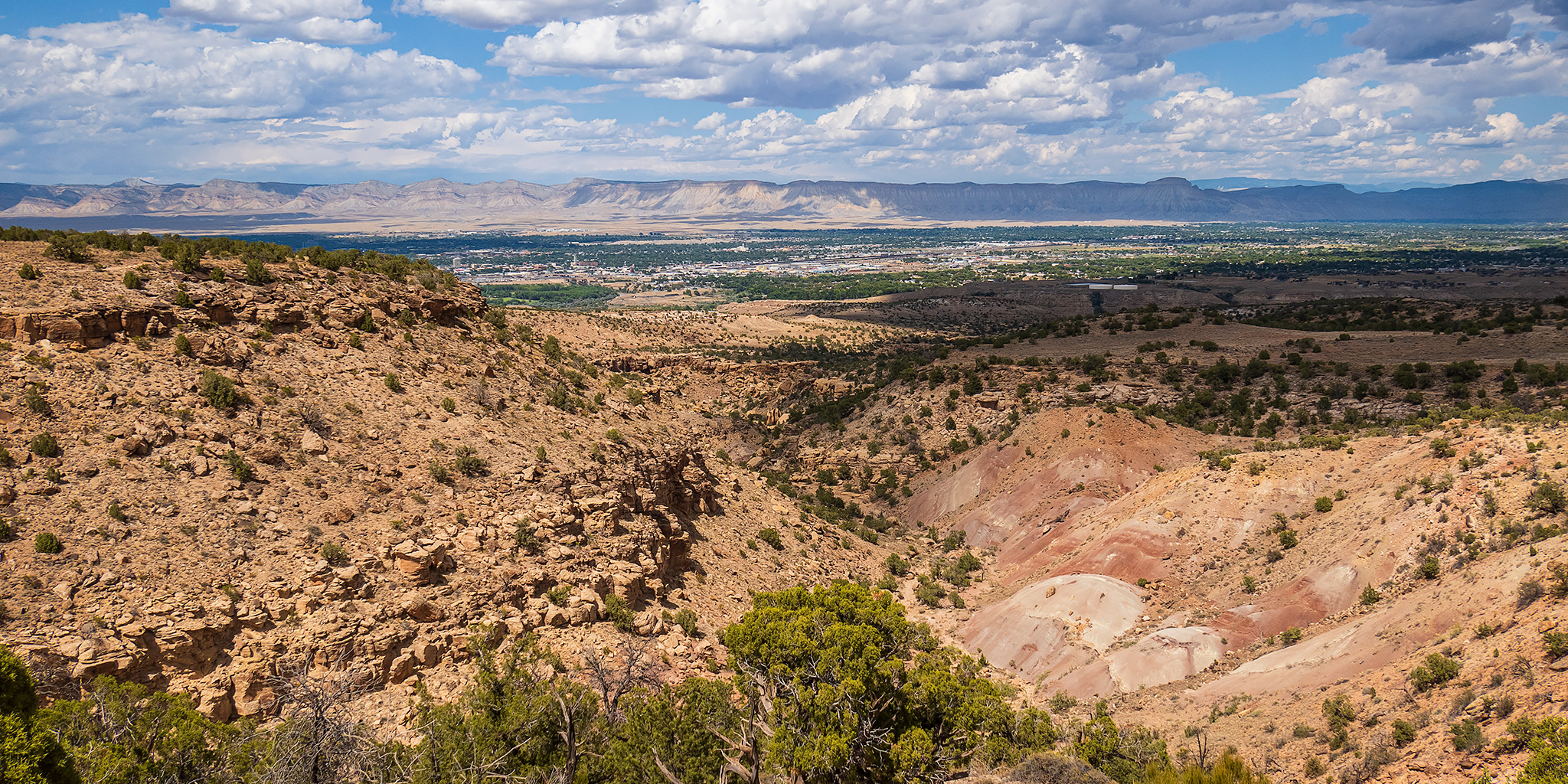
I was originally planning to head up Lands End Road onto the Grand Mesa after work today so I could hike a section of the Palisade Plunge Trail, but as I was driving southeast on US 50 I saw some lightning in the direction I was headed and thought it would be best to turn around and come back another time when the weather was better. Instead, I returned to town and headed over to the Third Flats area of the Bangs Canyon Recreation Area where I hiked a short loop combining the Twist-N-Shout and Second Thoughts trails together. The temperature was in the low 90’s today, but it was cloudy enough with a nice breeze which helped keep the temperature comfortable enough for me. There were even a couple sprinkles of rain at times. Here are a couple photos from the short hike.

2 Comments

The Colorado River: Parachute to Beavertail Mountain

Saturday & Sunday, June 29 & 30, 2024

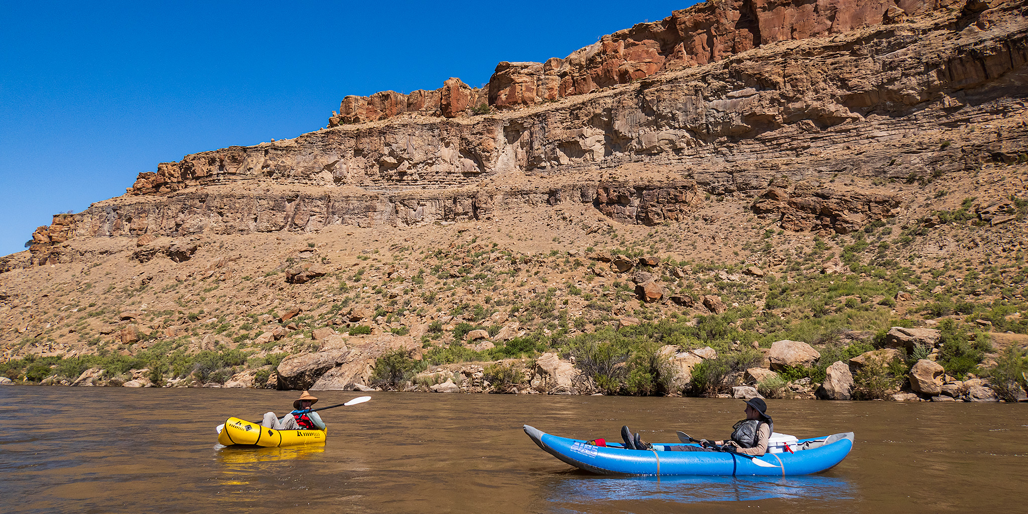
This weekend Jackson and I set out to continue what we had started two weeks ago by floating two more sections of the Colorado River close to home as day trips. Last time we had started near New Castle and left off at Parachute, so this weekend we planned to float two more sections from Parachute down to Beavertail Mountain in De Beque Canyon, which is a section of just over 28 miles. Although there was a lot of storm activity in the area this weekend, we made sure to to get started early and off the river before noon so we had no issues with weather or wind and the mornings were actually perfect for floating the Colorado River!

Leave a Comment

Third Flats Road & Art Cook’s View

After Work Adventures | Tuesday, May 21, 2024

Just like last week, I headed over to the Third Flats area after work this afternoon so I could hike a new trail to a highpoint on Horse Mesa, and also just like last week, I ended up changing those plans because of threatening storms in the area. After leaving work and driving up Little Park Road into the Bangs Canyon Recreation Area, I drove down the Third Flats Road all the way to the Gunnison River near the mouth of Billings Canyon and was hoping to hike up to the top of Horse Point from there. However, there were rainstorms in the area and the final section of the road down to the Gunnison River was cut through clay and I didn’t want to chance getting stuck down there if it rained, so I drove back up the road a little ways and hiked the Art Cook’s View Trail instead. I’ll have to come back for Horse Point another time.

Leave a Comment