Press "Enter" to skip to content

Tag: bitter creek

Second Attempt: Rock Art of the Book Cliffs IX

Sunday, September 22, 2024

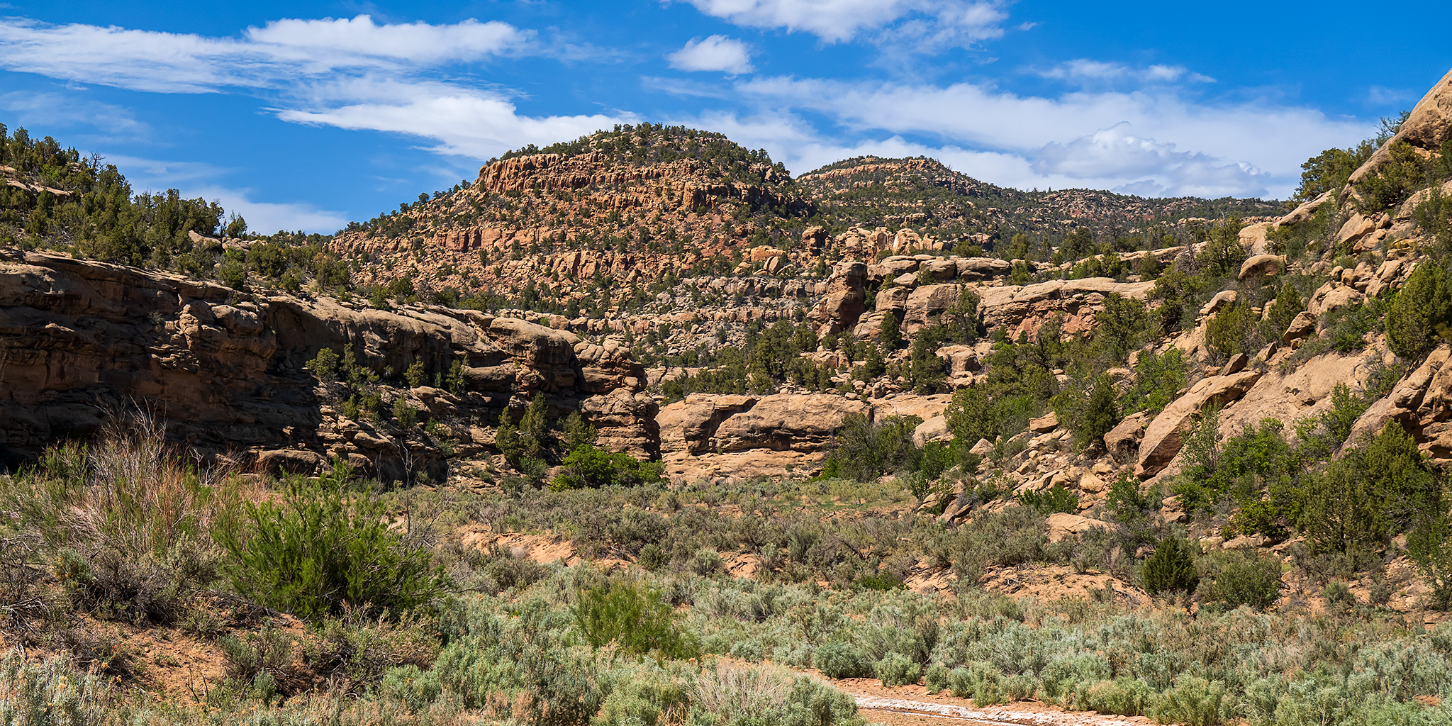
Even though I needed to spend part of today finishing up getting packed and prepared for a week-long river trip down the Canyon of Lodore that I would be leaving for early on Monday, I still wanted to get outside for a couple hours this morning and thought that this would be a good opportunity to return to the Book Cliffs for some further exploring as I checked out a few rock art sites. I had actually tried to explore this part of the Book Cliffs late last month, but was turned back by wet weather and slick muddy roads that day, so I thought I would give it another try today. I woke up early on Sunday morning, grabbed a quick breakfast and headed west into Utah shortly before sunrise. Here are some photos from along the way…

Leave a Comment

Utah Rims: Zion Curtain Trail to Point 5482

After Work Adventures | Friday, April 19, 2024

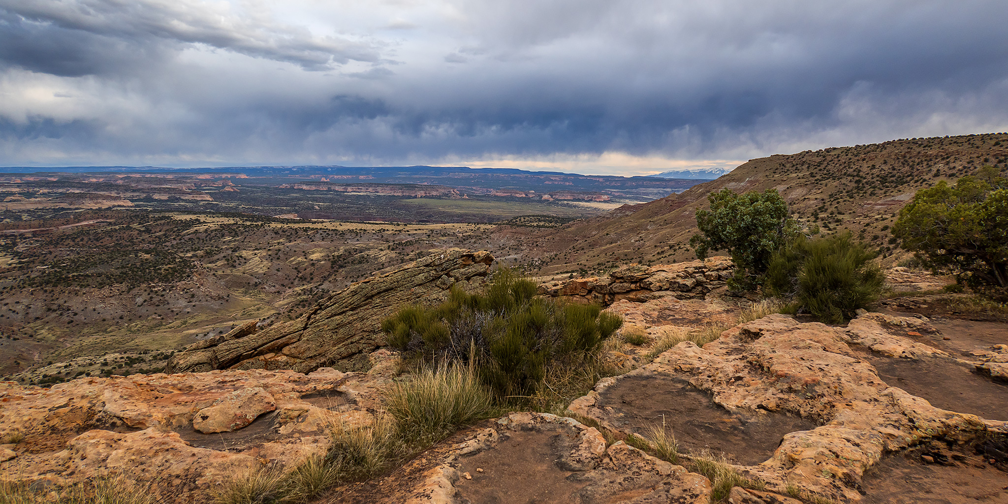
Since I was going to be staying closer to home this weekend so Diane and I could go to a concert on Saturday night, I decided to head out after work on Friday for a late afternoon hike on part of the Zion Curtain Trail to a highpoint in the Utah Rims area just west of the state line and Rabbit Valley. After driving west into Utah on the old 6 & 50 Highway, I headed south on a narrow Jeep track to the rim of the mesa above McDonald Creek and then hiked west along the Zion Curtain Trail to Point 5482. I was hoping that the sun might peek out from behind the clouds for to add some nice light to the landscape this evening, but it stayed pretty cloudy throughout my short hike.

Leave a Comment

Bookin’ It to the Book Cliffs

Memorial Day Weekend | Friday – Monday, May 28-31, 2021
Book Cliffs Rock Art VI

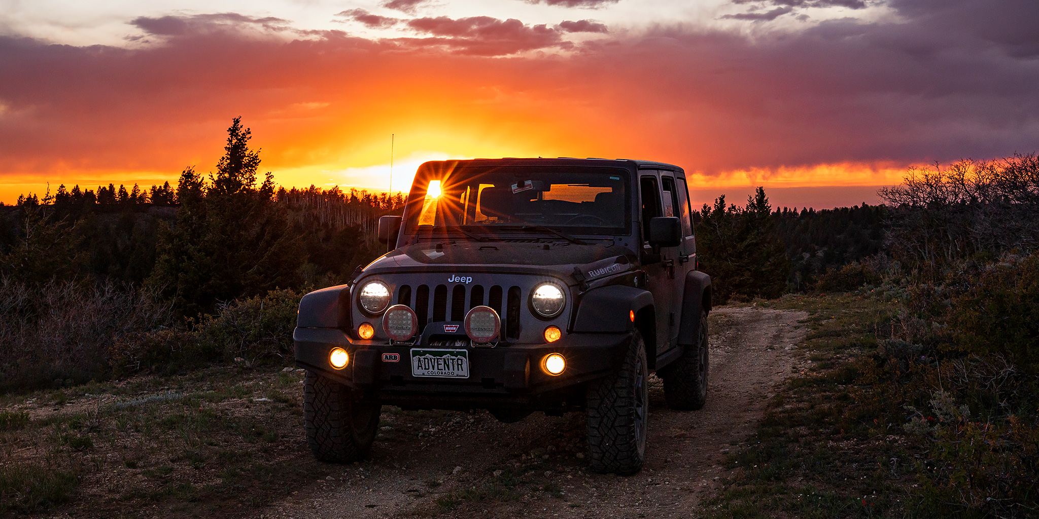
Last year Diane and I completely skipped going anywhere over the Memorial Day weekend because we didn’t want to deal with the massive COVID-crowds that were out and about at the time, but this year I wanted to get out somewhere close to home while still avoiding the crowds. After poring over maps I decided that the best place for me to go this year would be up into the Book Cliffs. Not only are the Book Cliffs close to home, but I don’t think they are a place that crowds usually flock to and I was hoping to find plenty of solitude. It’s actually been quite a while since I spent much time in the Book Cliffs so this would be a good opportunity for me to revisit some places I haven’t been to in a while and also explore some new ones! I knew it would probably be pretty warm out this weekend, so I was planning to take it easy by mostly exploring the backroads with my Jeep and only going on short hikes along the way.

4 Comments

The White River: Floating through the Uinta Basin

Bonanza Bridge to the Enron Ramp | Fantasy Canyon & Goblin City
Friday – Sunday, June 28-30, 2019

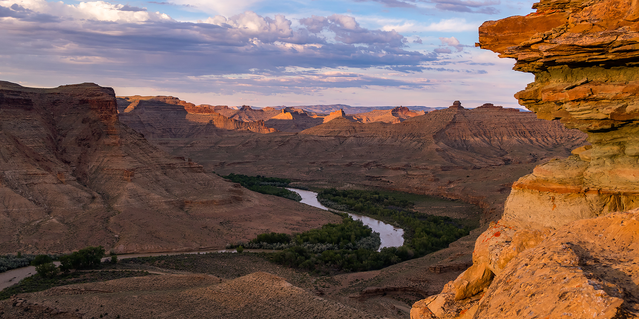
For the last weekend of National Rivers Month I definitely wanted to keep the streak going and get out on the river one last time before I started heading up into the mountains. I wanted to go somewhere new that wasn’t going to be crowded and that didn’t require a permit, so after looking at my options I decided to give the White River in Utah a try. There’s not too much information out there about this stretch of river, but from what I could find it looked like this would be a nice relaxing desert trip that doesn’t see too many people. The White River is born from snowmelt in mountain headwaters of the Flat Tops in western Colorado near where we hiked Sleepy Cat Peak early last summer, and then it flows west through Meeker and Rangely before entering Utah. From the state line it continues winding its way through the gas fields of the Uinta Basin along the northern edge of the East Tavaputs Plateau and joins the Green River in the Uintah and Ouray Indian Reservation. Our journey this weekend would begin at the Bonanza Bridge and end at the Enron Boat Ramp, which is about 35 miles of the river.

4 Comments

Westwater Mesa Loop

Sunday, December 30, 2018

Well, here it is! Our 65th and final trip report of the year and our very last hike of 2018. When we woke up on Sunday morning I had no plans scheduled for the day but I did know that I wanted to get out hiking at least one last time this year, so I looked at some maps and settled on the Westwater Mesa Loop Trail in the Utah Rims area just west of Rabbit Valley. Since it was pretty cold out this morning Diane and I waited until the the afternoon when it warmed up into the low 30’s to start our short drive to Utah and start hiking. After getting off the interstate at the Westwater exit and then following the Kokopelli Trail for a short distance we parked at the edge of Westwater Mesa and started hiking. This trail is about 7.5 miles in length and pretty much follows the rim of the mesa most of the way with views over Bitter Creek, Westwater Creek and the Colorado River. It was a nice local hike to end the year with. Here’s to a great 2019!

1 Comment