Press "Enter" to skip to content

Category: Four-Wheeling

Red Table Mountain: Crooked Creek to Mount Thomas

Around the Red Table: Crooked Creek Pass & Cottonwood Pass
Friday – Sunday, September 15-17, 2023

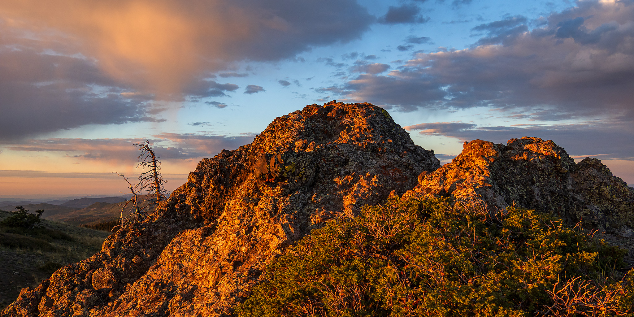
This weekend I headed out to the very northern end of the Sawatch Range so I could drive around and explore Red Table Mountain, which is located just west of the Holy Cross Wilderness between Gypsum, Eagle and Thomasville. I left from work on Friday afternoon, stopped in Rifle for gas and a bite to eat, and then continued on through the Roaring Fork Valley to Basalt where I turned off and followed the Fryingpan River to Lime Creek. Although I had driven through a couple heavy rain storms along the way, I found the beginning of the Crooked Creek Pass Road to be in good condition when wet, but that quickly changed as I drove higher and found some very slick conditions. After sliding off the road into the ditch twice, and thankfully not off the other side of the road, I found a small level spot to pull over and spend the night at. I had had enough of the slick and slippery road and felt it was too sketchy to continue driving up to the pass or turning around and heading down, so I was hoping that the road would dry out a bit overnight.

1 Comment

The High Plateaus of Utah: Proper Edge of the Sky

The Plateau Provence: Peaks & Plateaus of the Colorado Plateau
Wednesday – Friday, August 30 – September 1, 2023

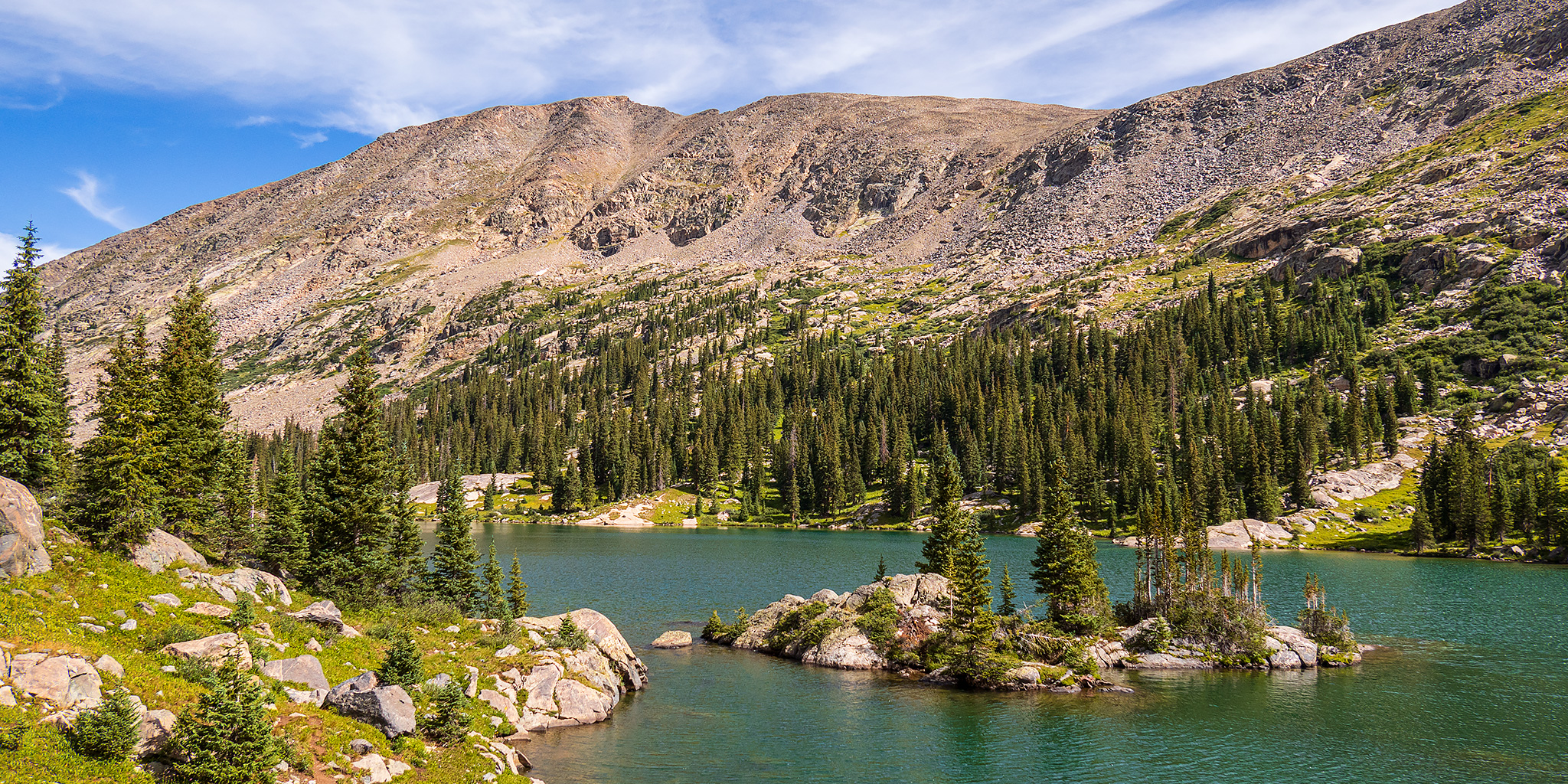
The High Plateaus of Utah are a group of elevated tablelands that form the boundary between the Colorado Plateau and the Great Basin in Central Utah and are what Wallace Stegner once described as “those remarkable mountains that are not mountains at all but greatly elevated rolling plains.” Although I have driven around and between the High Plateaus many times over the years, I have not spent very much time up on top of any of them and I wanted to change that this summer so I could see what they were all about. And what better way is there to get to know a new place than by driving the backroads and visiting the highpoints along the way! I figured that I would start at the northern end of the Wasatch Plateau and then work my way south, looping back around to finish up on Thousand Lake Mountain, where I could hop back on I-70 and head back home after a nice introduction to the area. That was the plan, and I thought it was a pretty good one, but as you will see, “the best laid plans of mice and men often go awry.”

3 Comments

South San Juan Mountains from Elwood Pass

Friday – Monday, July 28 – 31, 2023

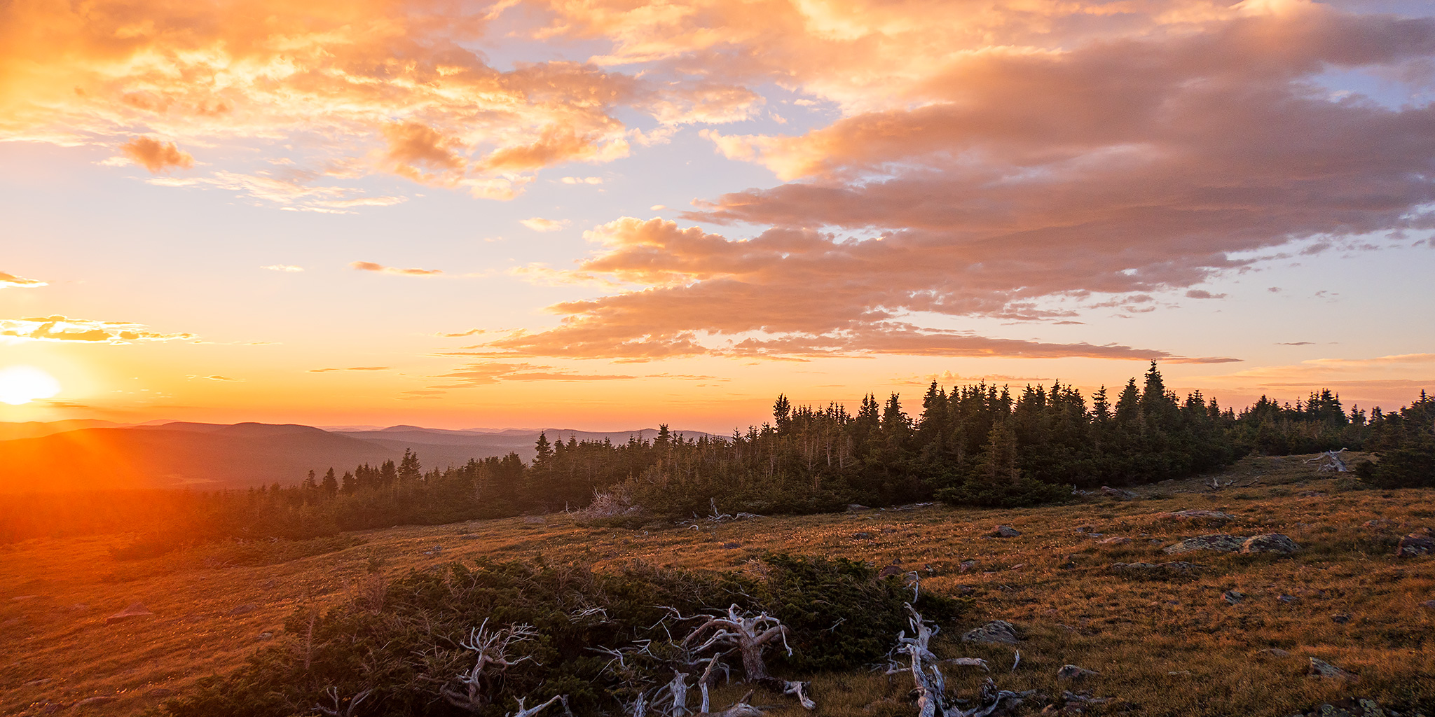
After spending the last two days around the Animas River Valley between Coal Bank Pass and Durango, I decided to spend the next couple of days further south and east in a distant part of the San Juan Mountains that I don’t get around to visiting very often. I’ve definitely been long overdue for another visit to the South San Juan Mountains between Wolf Creek Pass and the New Mexico state line and figured that this would be a good opportunity to get back since it wasn’t too much further away. After the GIS Colorado Summer Meetup concluded late in the morning on Friday I packed up my Jeep and made my way over to Pagosa Springs to continue on with the next leg of the trip.

4 Comments

Sauntering Through The Swell: The Northwest Side

Muddy Creek to the Little Wedge | San Rafael Swell Rock Art XVII
Friday – Sunday, April 21-23, 2023

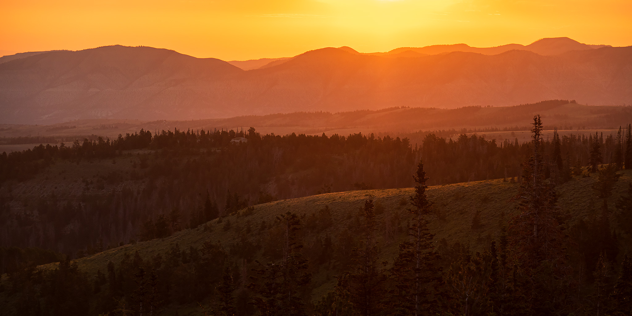
As I was trying to figure out where I wanted to go this weekend, I realized that I had not been back to the San Rafael Swell since Diane and I did a little mountain biking on the Good Water Rim Trail over the Halloween weekend in 2021, and I thought that this would be a good time to finally get back out there to remedy that oversight. As usual, I left after work on Friday afternoon and headed west into Utah to the northwestern side of The Swell so I could spend the weekend hiking, Jeeping and searching for rock art between Muddy Creek and the Little Wedge.

1 Comment

The Sculptured Earth: End of Trails in The Maze

Lost in The Maze III | Friday – Monday, March 31 – April 3, 2023

After spending the past couple years working to hike all of the trails in Canyonlands National Park and completing the ones in The Needles and Island in the Sky districts in 2018 and 2019, I turned my attention to my remaining trails in The Maze, but it’s taken me a bit longer to hike them all since it’s not quite as easy to get over there for a quick weekend trip. Last spring I had hiked most of the remaining trails from the Land of Standing Rocks with my friends Dave and Jared, but we did not have the time to make it down into lower Horse Canyon on that trip, which was now my only trail left on this official map that I’ve been using to keep track, and also my final trail left in all of Canyonlands! After that trip I made it my goal to hike into lower Horse Canyon this spring, so I booked a backpacking permit back in November and invited my friend Jackson to come along.

3 Comments