Getting Lost in the West End: Across the Uncompahgre Plateau & La Sal Mountains
Friday – Sunday, June 7-9, 2024
After having an amazing time on the river in Cataract Canyon last weekend, I wanted to take it easy and stay a bit closer to home this weekend. With warmer temperatures in the valleys and still too much snow in the high country for me, I thought this might be a great opportunity to finally take a scenic weekend drive across the Uncompahgre Plateau and La Sal Mountains from Montrose to Moab on the Rimrocker Trail, while also taking the time to stop for a few short hikes and side trips along the way. The Rimrocker Trail was created in 2016 by linking up existing roads in this remote area of Western Colorado, many of which I have already driven over the past twenty years, especially while I was working on mapping out a 4X4 route of the Tabeguache Trail and Paradox Trail. But even though I have already driven many of these roads before, it’s been a long time and I really don’t remember very much about them, so I was looking forward to the refresher on this 160 mile route. So after spending Friday evening in Black Canyon of the Gunnison National Park, I drove across the Uncompahgre River Valley and found a campsite near Temple Park and the beginning of the Rimrocker Trail so I could get an early start on Saturday morning.
I was up early on Saturday morning and ready to start exploring the Rimrocker Trail!

Golden light followed me as I started driving up 90 Road.

To the south was a nice view of Mount Sneffels and the rest of the Sneffels Range.

I quickly ascended the Uncompahgre Plateau on the well-maintained 90 Road.

It wasn’t long before I entered the Uncompahgre National Forest.

I stopped to walk along the shore of Silesca Pond before passing by the Iron Springs Campground.

After reaching Divide Road I took a short detour and hiked part of the Parallel Trail to PT 10,010, a highpoint along the crest of the Uncompahgre Plateau.

Although the Tabeguache Overlook was a bit overgrown, there’s still a nice view over to Lone Cone and the San Miguel Mountains.

From Columbine Pass I started heading down the other side of the plateau.

A short way down from the pass I left the Rimrocker Trail and followed the Copper King Road to the beginning of the Indian Trail.

I hiked the Indian Trail into the Tabeguache Area which was surrounded by lovely red cliffs. If you look very closely, you might be able to spot Tabeguache Falls through the trees.

The Indian Trail appears to be little-used and was hard to follow in a few places.

Here’s a closer look at the red cliffs above the trail.

When I reached the North Fork of Tabeguache Creek, I bushwhacked through the thick brush and was able to reach these cascades and pools to cool off in.


I was hoping to make it to the waterfall, but I gave up on the terrible bushwhacking and headed back to my Jeep at the trailhead and then continued to follow the Rimrocker Trail down to Nucla.

After a stop for lunch and gas in Naturita, I continued to follow the Rimrocker Trail across Third Park which offered distant views of the Uncompahgre Plateau on the horizon.

I went on another short side trip into the Tabeguache Creek Canyon.

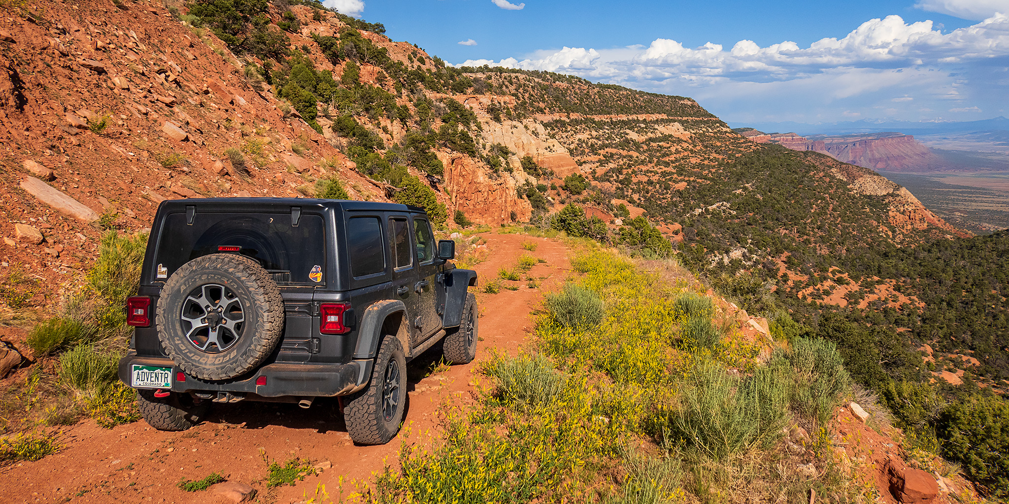
Next, the trail wound it’s way through the rimlands of the San Miguel and Dolores Rivers with plenty desert and canyon scenery along the way.


Hog Point

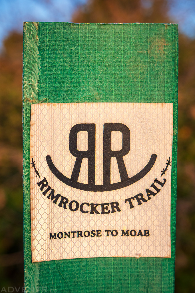
The route was well marked with these signs at all the major intersections.

Rimrocker Country

There were also plenty of old mining relics found along this part of the trail.

I went on another short side trip to visit the highpoint of Atkinson Mesa.

Atkinson Mesa Highpoint

Soon the trail made a steep descent down to Highway 141.

I hopped onto the highway to revisit a couple nearby sites, including this old coke oven that was built in the late 1800’s and was used by blacksmiths who forged iron for the construction of the Hanging Flume.

The Hanging Flume was built between 1887 and 1891 and still clings to the sandstone wall of the Dolores River Canyon.

I also stopped at the overlook above the confluence of the San Miguel and Dolores Rivers before returning to the Rimrocker Trail.

Soon I found myself driving up old mining roads to the top of Carpenter Ridge with expansive views of the Dolores River Country I had just come from.

There was even a nice view over Biscuit Rock from the road.

Following the winding route across Carpenter Flats.

When I reached the top of Carpenter Ridge it only required a couple small steps to reach spectacular views over Paradox Valley.


I ended up going on one last detour this afternoon when I followed the Carpenter Ridge Road down into Paradox Valley.

This road offered amazing views as it switchbacked down the ridge.

Carpenter Ridge from Paradox Valley

I followed the well-maintained road back up to Buckeye Reservoir and then closed the gap on the section of the Rimrocker Trail I had bypassed, so I wouldn’t miss any part of it.

I found a campsite with a great view at just over 8,000 feet on Carpenter Ridge and called it a day, about an hour before sunset.

I ate dinner and watched the light dance across the landscape far below.

I slept very well on Saturday night and was up early again on Sunday to continue my journey along the Rimrocker Trail as it entered Utah and would take me around the La Sal Mountains to Moab.
At times I had a good view of the La Sal Mountains catching the first light of the day through the trees as I made my way back past Buckeye Reservoir.

Early morning reflection at the Buckeye Reservoir.

Leaving Colorado and entering Utah.

The views really opened up as I drove across Pine Flat.

The view of Mount Tomasaki from here was outstanding!

Dusty Morning Drive

As the trail winds its way through Willow Basin to Canopy Gap, I caught this reflection of Mount Peale, which is the highest peak in the La Sal Mountains and San Juan County.

There were nice views of Mount Peale & Mount Tukuhnikivatz as the trail circled around the southern end of the La Sal Mountains.


After circling around on the Coyote Springs Road, which was a bit rougher and blocked by many cows along the way, I reached this ridge where the trail started it’s descent back into the desert.


After leaving the La Sals behind, the route followed the Black Ridge Road and Pole Canyon Road down into Spanish Valley and then Moab. I filled up my gas tank, grabbed a bite to eat and headed home. Even though it was a bit warm at the lower elevations of the trail, I had a pretty great time on the Rimrocker Trail!