Gunnison Gorge National Conservation Area | Friday – Saturday, April 24-25, 2026
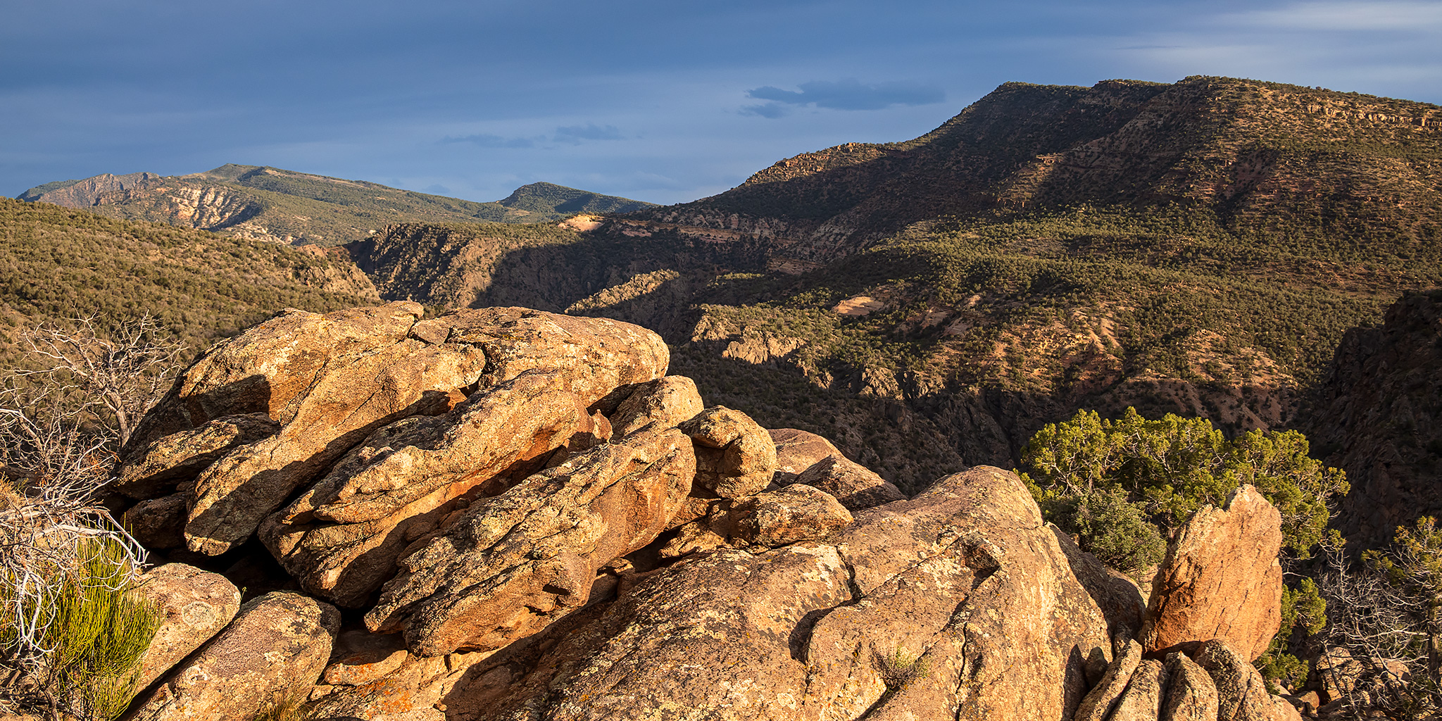
Since we just drove home from Arizona this past weekend and I’ll be leaving for Las Vegas early on Thursday morning, I thought it would be a good idea to stay closer to home this weekend and hike a few more sections of the trails found within the Gunnison Gorge National Conservation Area, especially since my last trip to the Gunnison Gorge was cut short earlier in the month when I was still battling a bad cold. The weather was calling for rain to begin overnight on Saturday and continue throughout Sunday, so I figured I would just head out after work on Friday for a quick overnighter and come home later on Saturday. I left from work on Friday afternoon, grabbed a quick dinner in Delta and then decided to go on a few short hikes along the foot of the Uncompahgre Plateau before heading over to find a campsite near the Gunnison Gorge.
Leave a Comment