Press "Enter" to skip to content

Tag: tabeguache trail

The Ribbon Trail to the Tabeguache Trail

Sunday, March 29, 2026

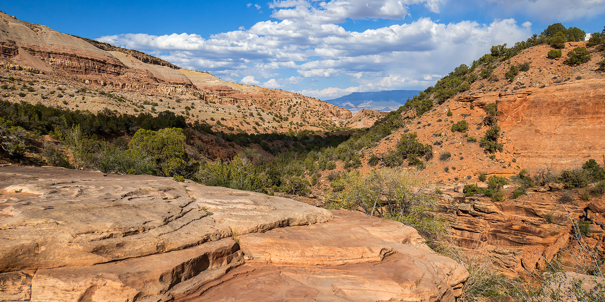
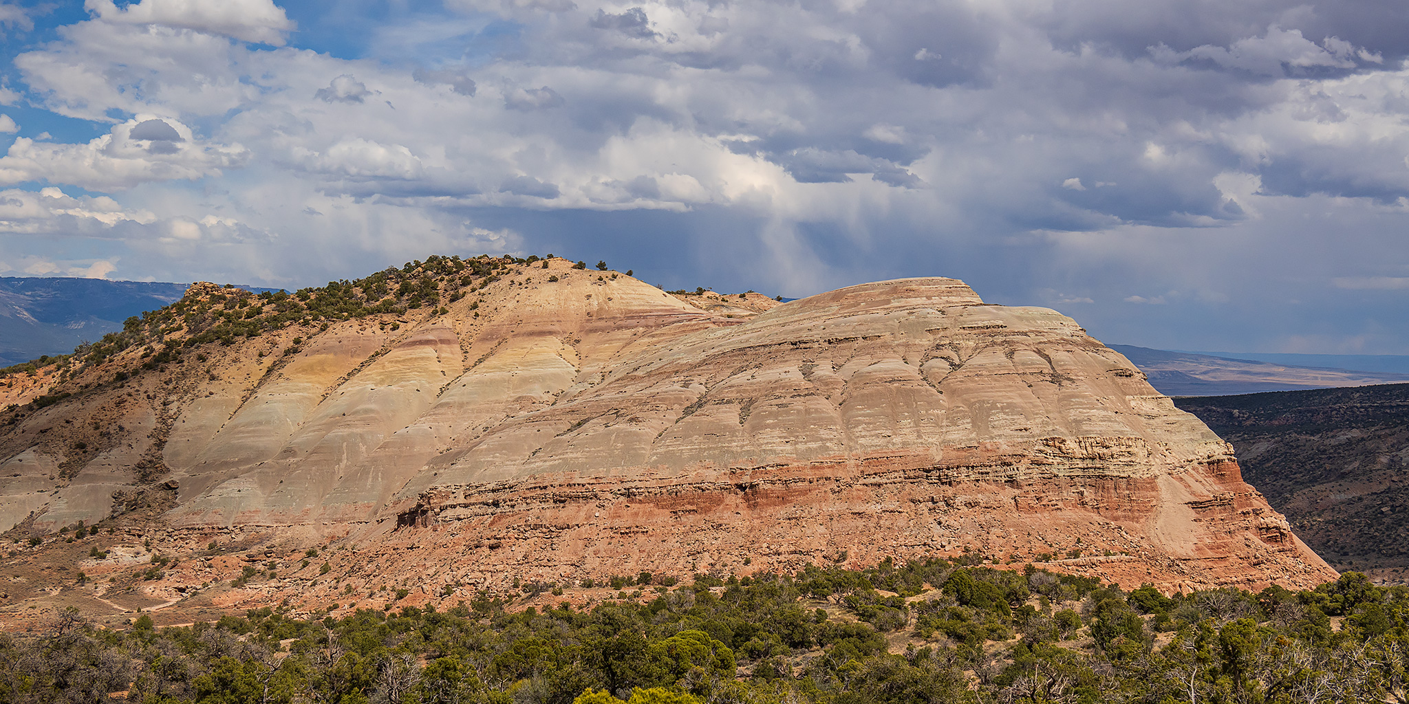
Although I was initially hoping to get more hiking in this weekend, I wasn’t feeling very well on Friday evening and decided to stay home to get some long overdue work done to my 4Runner on Saturday instead. Then on Sunday morning I thought I was feeling better, so Diane and I headed out early to hike the Ribbon Trail from the top to the bottom and finish up by following Andy’s Loop to the Tabeguache Trailhead. We chose this hike to get in as much elevation descent as we could near home to help us prepare for a hike into the Grand Canyon via the Bright Angel Trail that’s coming up in just over a week. It’s been a while since I last hiked the Ribbon Trail and usually I hike up to Little Park Road at the end, so this was a nice change of pace.

3 Comments
( ЯR ) The Rimrocker Trail: Montrose to Moab

Getting Lost in the West End: Across the Uncompahgre Plateau & La Sal Mountains
Friday – Sunday, June 7-9, 2024

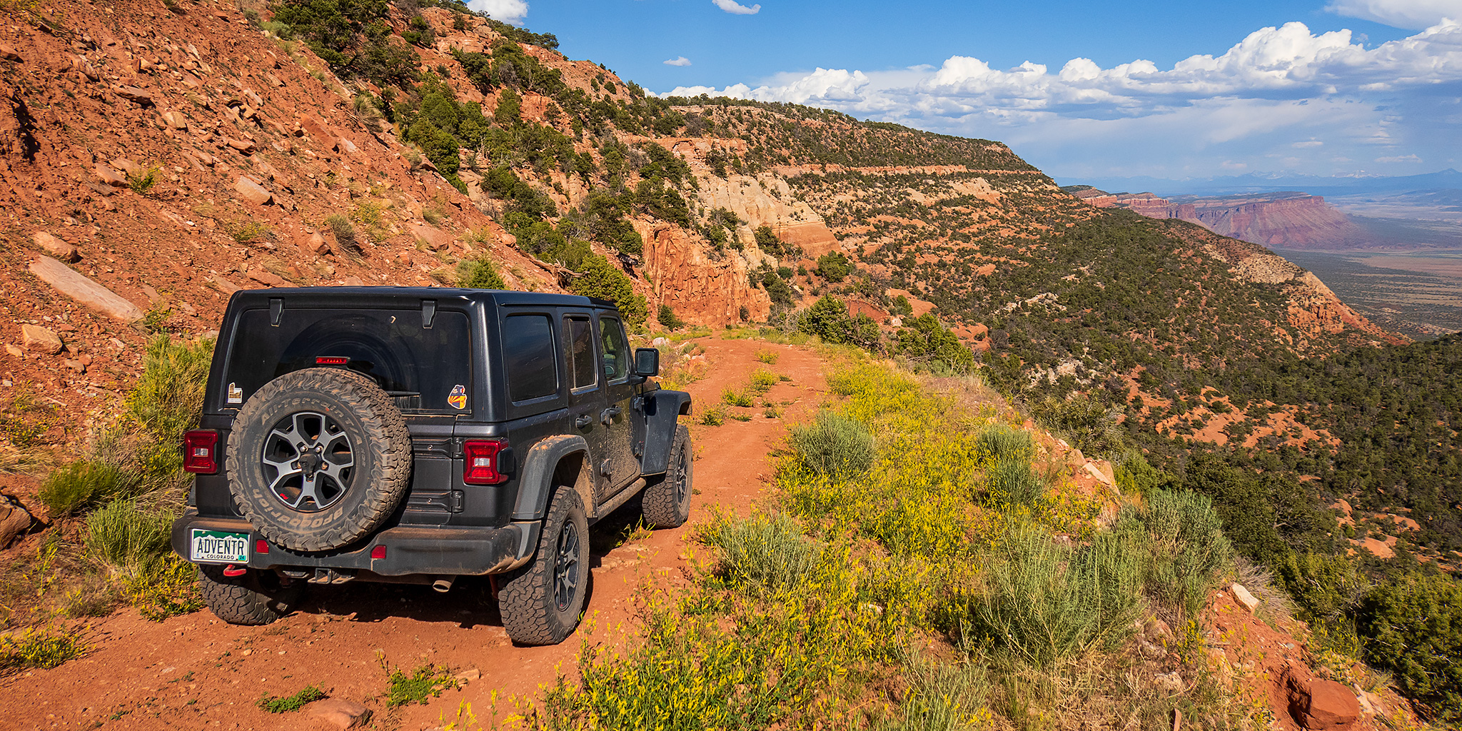
After having an amazing time on the river in Cataract Canyon last weekend, I wanted to take it easy and stay a bit closer to home this weekend. With warmer temperatures in the valleys and still too much snow in the high country for me, I thought this might be a great opportunity to finally take a scenic weekend drive across the Uncompahgre Plateau and La Sal Mountains from Montrose to Moab on the Rimrocker Trail, while also taking the time to stop for a few short hikes and side trips along the way. The Rimrocker Trail was created in 2016 by linking up existing roads in this remote area of Western Colorado, many of which I have already driven over the past twenty years, especially while I was working on mapping out a 4X4 route of the Tabeguache Trail and Paradox Trail. But even though I have already driven many of these roads before, it’s been a long time and I really don’t remember very much about them, so I was looking forward to the refresher on this 160 mile route. So after spending Friday evening in Black Canyon of the Gunnison National Park, I drove across the Uncompahgre River Valley and found a campsite near Temple Park and the beginning of the Rimrocker Trail so I could get an early start on Saturday morning.

Leave a Comment

Third Flats: Saddle Up & Pony Tail to Horse Mesa

After Work Adventures | Tuesday & Wednesday, May 14 & 15, 2024

On Tuesday afternoon I left work with the intention of hiking a pair of trails in the Third Flats area to the highpoint of Horse Mesa. Although there were storms in the area, it seemed like they were going to miss the Grand Valley so I didn’t worry too much about them at the time. I drove up Little Park Road into the Bangs Canyon Recreation Area and then followed the Billings Canyon Road to the start of the Saddle Up Trail and started hiking. However, as soon as I made it a short distance up the trail the storm I wasn’t initially worried about moved into the area with strong gusts of wind and rain, so after looking at the weather radar map again I decided it would be best to turn around and come back the following day. Normally, a little rain wouldn’t scare me off from a hike, but I had driven across a lot of clay areas on the road to reach the trailhead and was a little worried about how slick those sections could get if they got wet.

Leave a Comment

Bangs Canyon: Rough Canyon Loop

After Work Adventures | Tuesday, April 23, 2024

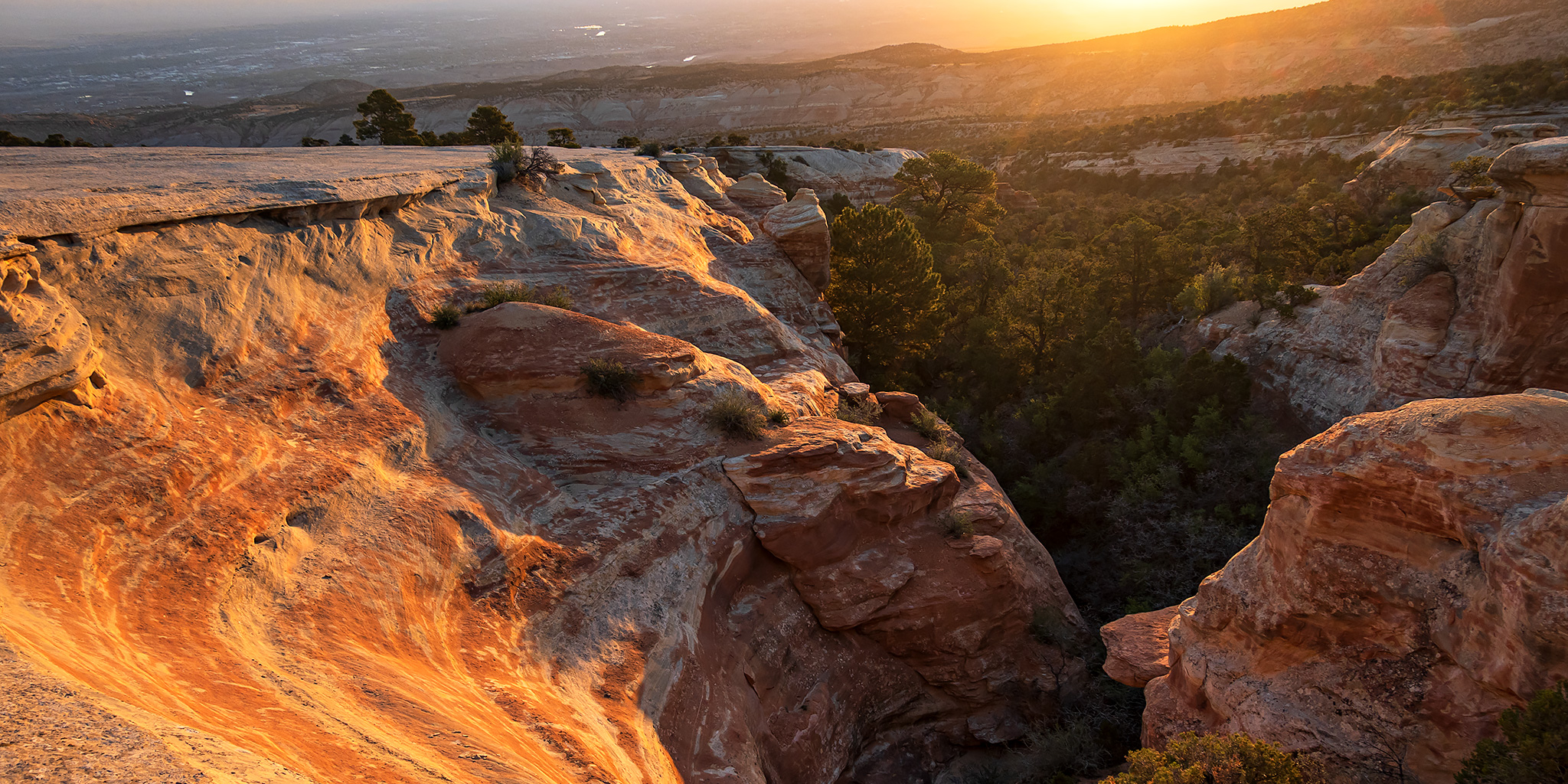
As I’ve been trying to hike more local trails during the week, I realized that I had not hiked much of Rough Canyon within the Bangs Canyon Recreation Area and thought it was finally time to remedy that oversight after work today. So this afternoon I drove up to the Bangs Canyon Trailhead and started hiking down Rough Canyon from where it splits off from the more popular Mica Mine Trail. I mistakenly thought this was going to be an easy hike along a good trail the entire way, but there turned out to be a bit more scrambling and route-finding along the way than I was expecting. It was nothing too difficult, but I had just assumed there would be a well-used trail down the canyon since it’s in a popular area close to town. I followed the the canyon downstream until it opened up near the mouth of Cross Canyon and then met up with the Tabeguache Trail which I followed back up to the trailhead to complete a loop. It turned out to be a nice loop through a rugged canyon that’s pretty close to home.

1 Comment

Roubideau Area: Old Roubideau Trail & Pool Creek

Arborglyphs on the Uncompahgre Plateau
Saturday, October 12, 2019

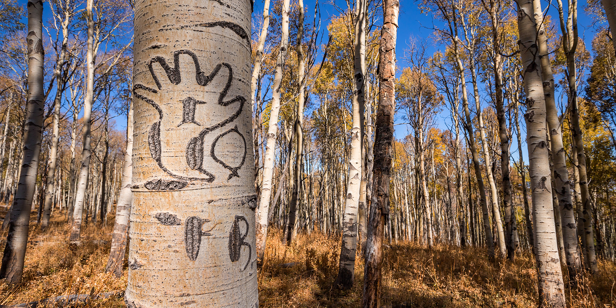
After spending last week hiking through the Canyons of the Escalante I decided to take it easy this weekend and stay close to home. Since I skipped out on photographing fall colors this year, I wanted to see if there were still any left up on the Uncompahgre Plateau and get a little hiking in while I was up there, so I decided to head that way on Saturday morning. It’s been a while since I headed out my door on a weekend without an itinerary in place, but that’s what I felt like doing today.

Leave a Comment