Floating from the Potash Boat Ramp to The Loop | Average CFS: 2,660
Thursday – Sunday, September 17-20, 2020
On Thursday morning Diane and I woke up extra early at 3:30am and headed down to Moab where we drove through The Portal on our way to the Potash Boat Ramp and met up with our friends Jackson, Amy and Chris just after sunrise. We were going to be spending the next couple of days on a relaxing float through Meander Canyon on the calm waters of the Colorado River into the heart of Canyonlands National Park. I had such a great time in Labyrinth Canyon two years ago at this same time of the year, so I was really looking forward to another trip similar to that. Although Diane swore that she would never go on another river trip with me after our swift float through Slick Rock Canyon, I managed to talk her into giving it one more try after promising her that this would be all flat water with no rapids! Thankfully, she really enjoyed this trip and I think she will definitely be coming with me on future flat water adventures!
I had hopes that we would be able to make it to The Confluence of the Green River and Colorado River in four days and three nights, but in the end we decided not to paddle as much as we could have and only made it to The Loop. I guess that means we will have to come back another time to see the rest of the canyon! This float was kind of a trial run so I could figure out how far we could make it on this flat water with Inflatable Kayaks, since when I get around to floating Stillwater Canyon we will absolutely need to make it to The Confluence, or we will miss our ride back on the Jetboat Shuttle. I guess we will need at least five days for that trip! The nice thing about Meander Canyon is that they will pick you up with the Jetboat anywhere along the way, since they pass by most days on their way to Spanish Bottom.
We rigged our boats at the Potash Boat Ramp just after sunrise. Just like the rest of the western United States, the air was filled with smoke from wildfires and would pretty much stay that way for the entire trip.
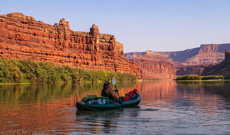
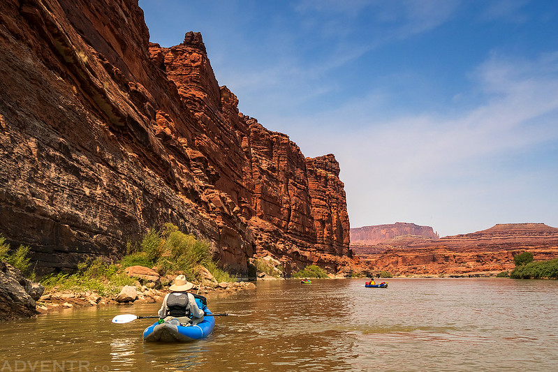
We were on the water by 8:30am and slowly floating downstream.
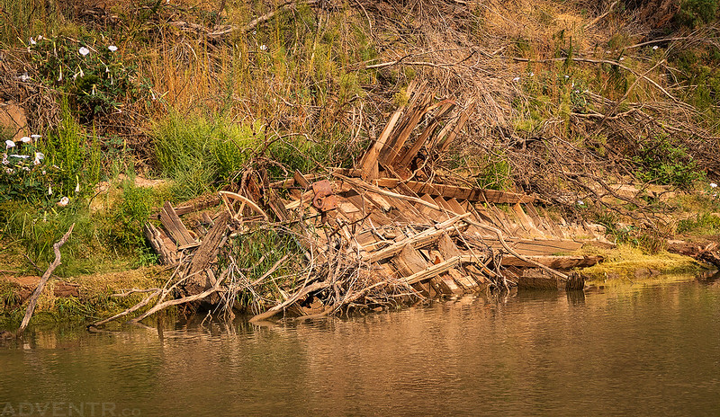
Just below the Frank Shafer Well No. 1 are the remains of some kind of old military landing craft.
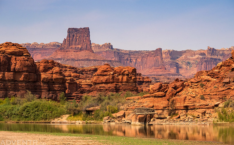
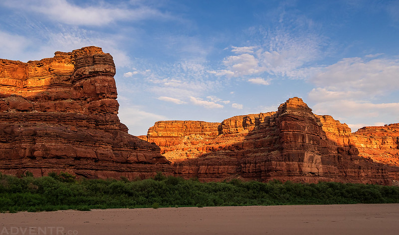
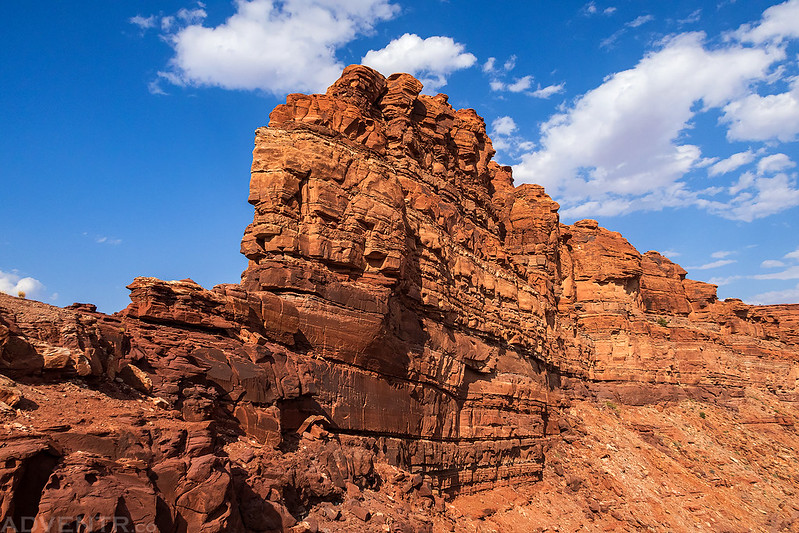
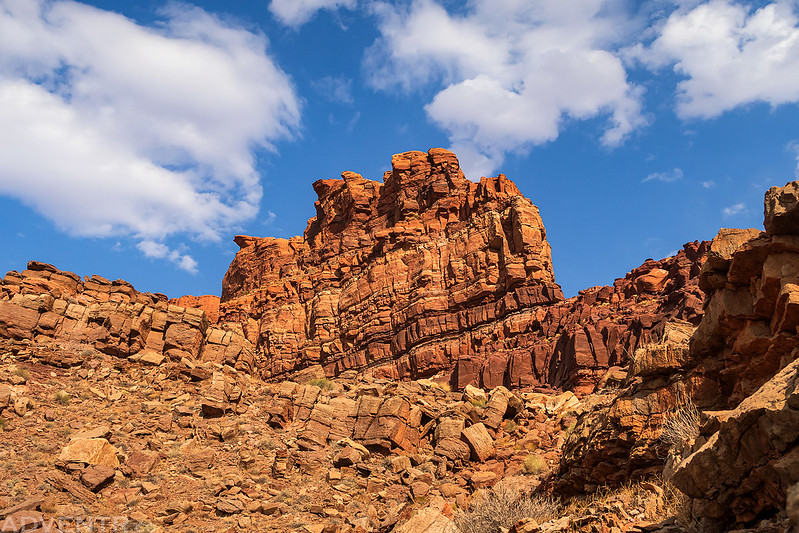
Sandstone Tower
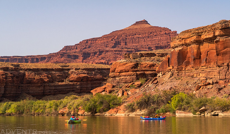
Pyramid Butte
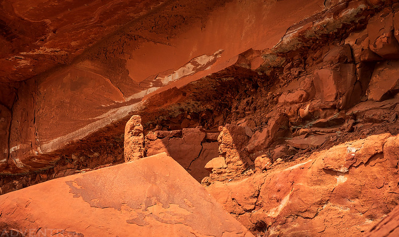
We stopped for lunch below the remains of this mud granary located in a small alcove along the river.
Chris
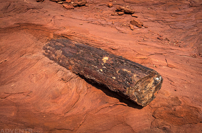
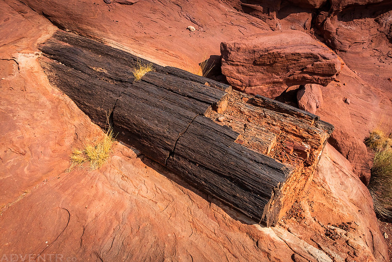
Our next stop was to visit the large petrified logs located at Horse Bottom.
Although the petrified wood here is not near as nice as what is found in Petrified Forest National Park, I thought it was pretty cool that the logs were eroding out of the sandstone, which I don’t recall seeing anywhere else before.
Big Petrified Log
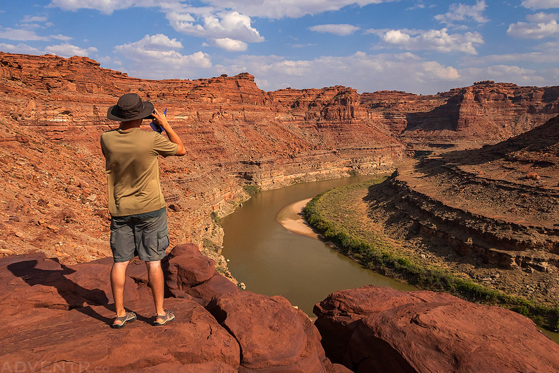
Floating below Dead Horse Point. I’ve taken many photos looking down to the river from up there, so it was nice to finally see the view from down here.
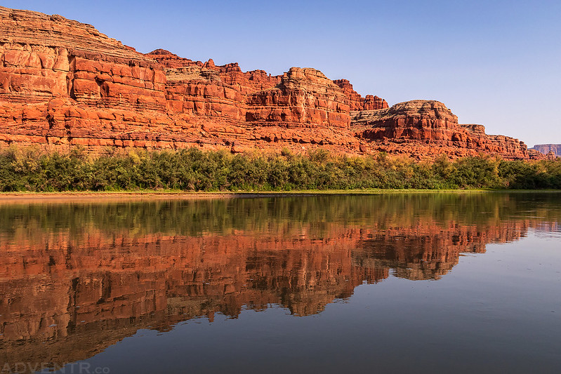
Dead Horse Point Reflection
Diane
River Fingers
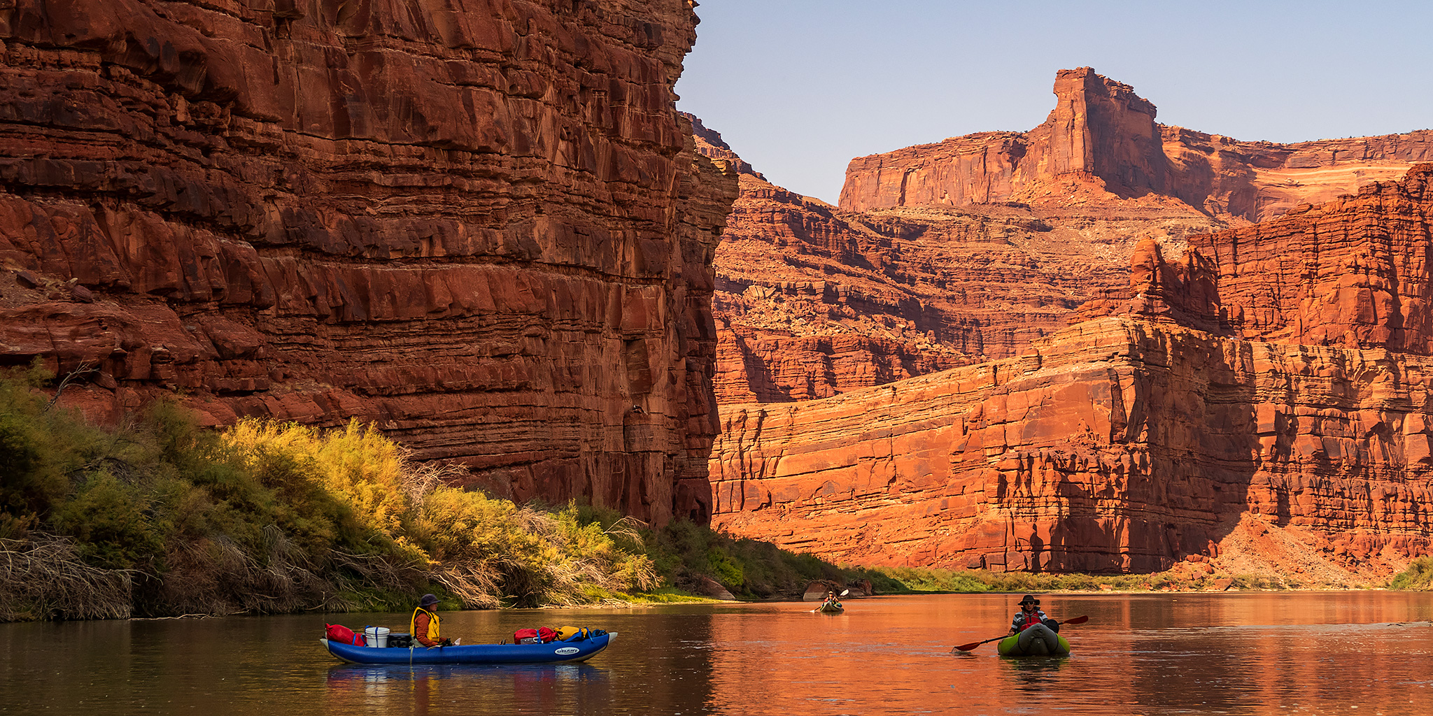
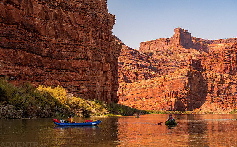
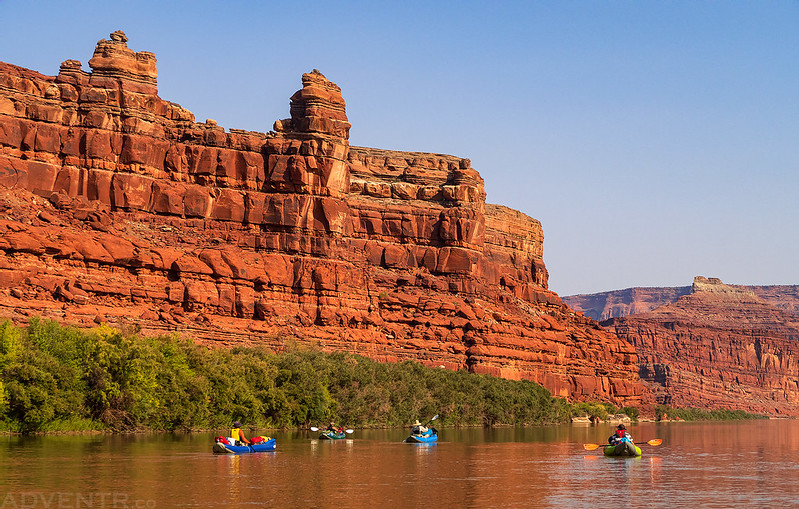
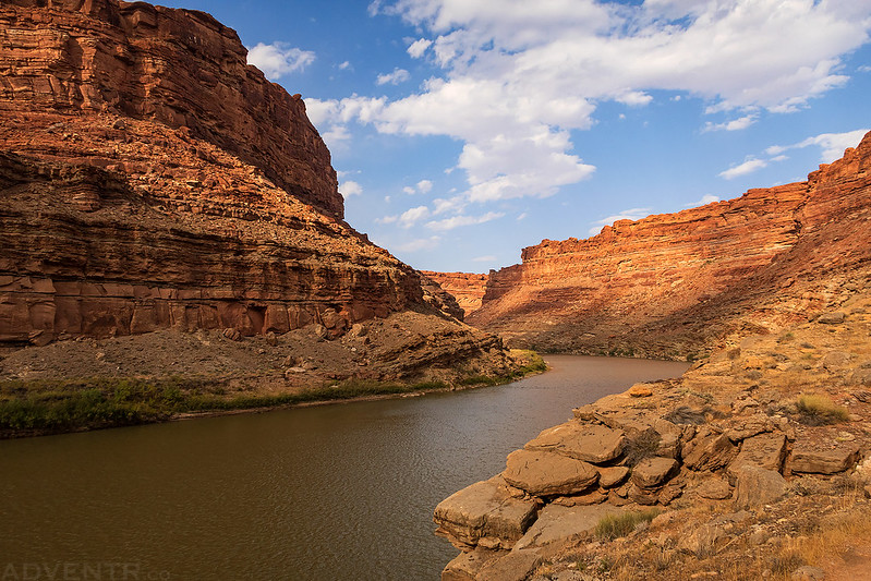
Three boats in Meander Canyon.
Reflecting
Welcome to Canyonlands National Park
I stopped for a quick hike into The Grotto.
Here’s a shot of our group (minus me, of course) as we began searching for a campsite for the night.
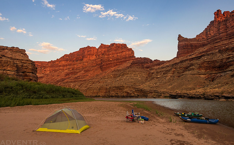
We spent our first night at the Musselman Island Camp just past the mouth of Musselman Canyon.
An evening view from Musselman Island Camp.
I went for a late evening walk along the shore of the sandbar.
The Shoreline
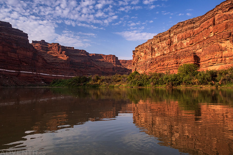
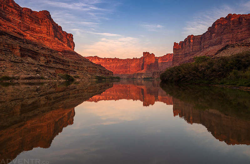
There was nice light on the canyon walls and a good reflection on the water just before sunset.
While the temperatures during the day were a little warmer than I would have liked, it was almost perfect in the evening, morning and overnight. We really couldn’t have asked for much better weather on this trip, but a few more clouds and less smoke would have been nice!
Here’s my inflatable kayak, ready for our second day on the Colorado River. I rigged up that sun shade just before this trip and it worked out pretty well!
Calm Morning View
Here’s a look up Little Bridge Canyon as we floated by. I had actually planned to camp here the first night, but I think the sandbar we stopped on was a better choice.
That hoodoo on the right reminds me of my favorite one over in The Needles.
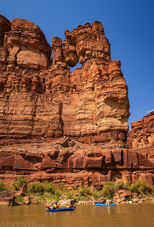
Along The Wall
Airport Tower & Lathrop Canyon
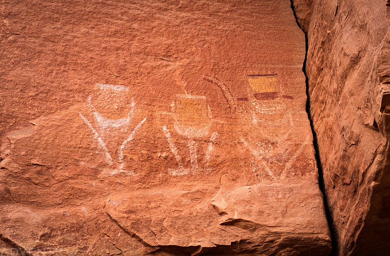
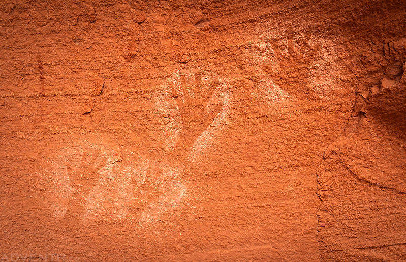
I was very happy that I was finally able to see the River Faces, especially after Jared and I had tried to hike to them unsuccessfully a few years ago. Diane and I had a hard time finding a way through the impenetrable tamarisk along the shore and almost gave up, but we did eventually find the trail through…
Reverse Handprints
Faint White Sheep
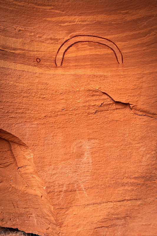
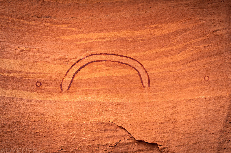
Arc & Circles
River Ruin
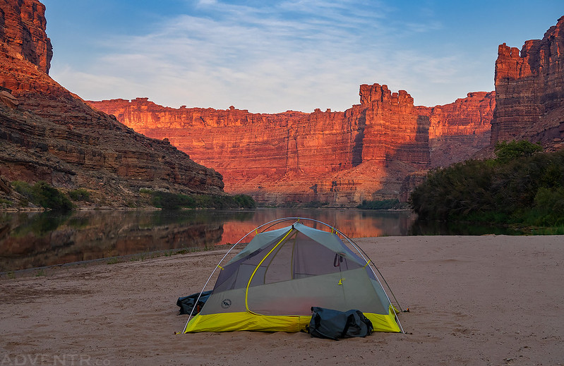
Our second night was spent on a sandbar across the river and just upstream from Sheep Bottom.
The canyons behind camp shortly before sunset.
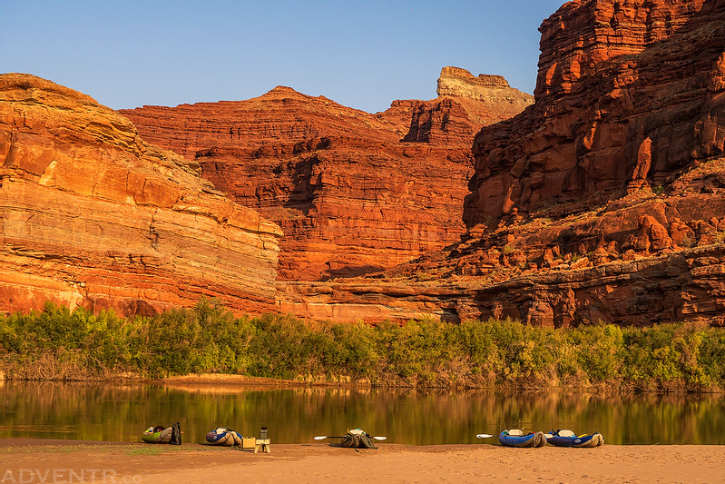
Sandbar camping at its finest!
On Saturday morning we tried to get a little earlier start since this was supposed to be the windy day of the trip and we wanted to try to get in some miles before the wind picked up.
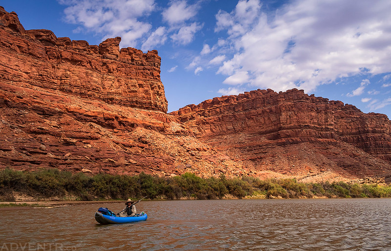
Meander Morning
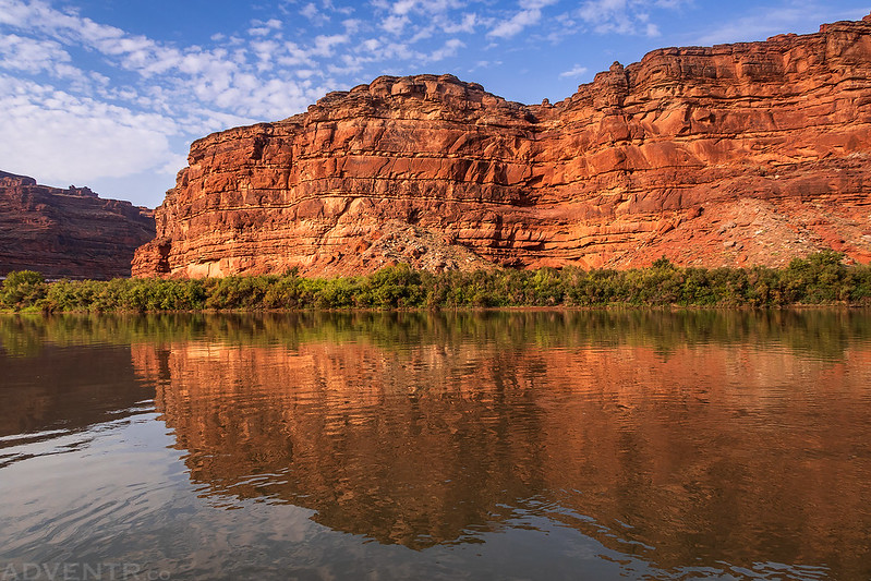
Colorado River Reflection
The morning started out pretty calm…
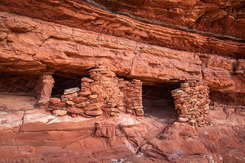
Looking back to the Colorado River over the mouth of Indian Creek Canyon as I hiked up to a couple of small ruins. I’ve spent a lot of time exploring the upper reaches of Indian Creek Canyon, so it was nice to finally see the mouth of the canyon!
Indian Creek Granaries
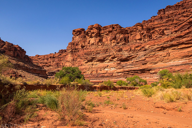
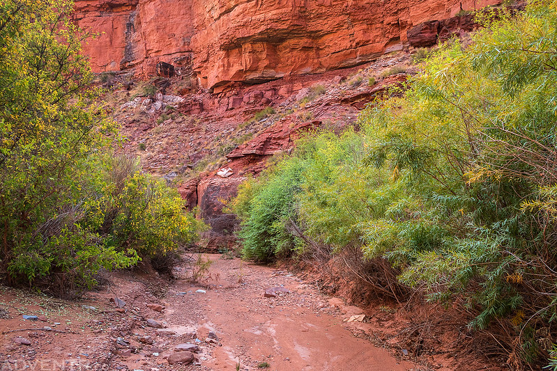
Next, I went for a short walk up the canyon that drains Monument Basin, which is commonly seen from Grand View Point.
Monument Basin Wash
There were some nice mud cracks along the wash near the mouth of the canyon.
Floating Below Guillotine Arch
A closer look at the Guillotine Arches.
Amy
Jackson
Just as the weather forecast had predicted, the wind started to pick up in the early afternoon and it got a little gusty at times. We battled the wind and paddled a few more miles downstream to the Upper Loop Ledges Camp where we decided to call it a day early and would stay for the rest of the night. This also happened to be the trailhead for my last planned hike in Meander Canyon, so that worked out pretty well!
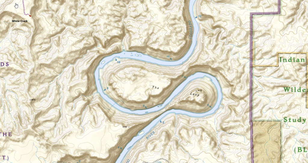
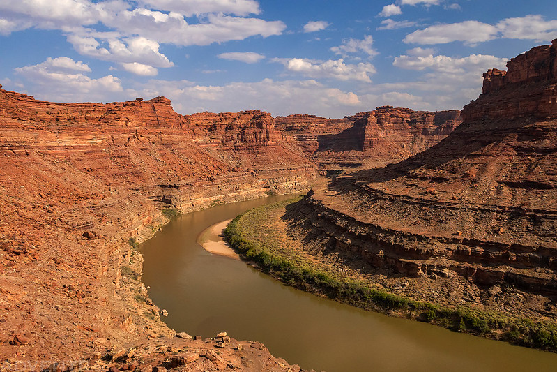
For those not familiar, The Loop consists of two large bends where the river doubles back on itself twice. We stopped on the north side of the first narrow section near river mile 11 and then hiked up to the saddle. You can see what The Loop looks like from above in the map below.
Looking into the canyon of The Loop was we hiked up to the saddle later in the evening.
This is the narrow wall separating the two sections of the river.
Chris taking photos from the top of the saddle.
Keep Me In The Loop
The afternoon winds also brought some clouds which made for some nice spotlighting in the canyon at times.
Above The Notch
Back down to the ledges on the north side of The Loop.
Upper Loop Ledges
Jackson, Amy and Chris wanted to camp at the Upper Loop Ledges, but Diane and I didn’t really care for the sites and didn’t want to carry our gear all the way up to them, so we floated to the other side of the river and camped on another sandbar.
That notch on the other side of the canyon is the saddle we had hiked up to to see the other side of the first loop.
There was a raven on this sandbar who was very interested in us and our gear. We made sure to keep all our food locked up tight when we weren’t eating dinner. I took a short video clip of the raven.
We spent three beautiful nights camping on sandbars in Meander Canyon!
We woke up calm water in The Loop on Sunday morning.
Good morning from our last campsite.
We decided to stick around here and wait to be picked up by the Jetboat Shuttle instead of trying to make it further down the canyon, so we crossed back to the other side of the river to join the rest of the group and got our gear ready to be picked up. This was the pile of gear for Diane and me.
Here’s the Jetboat coming in to pick us up on their way back from Spanish Bottom, right on time!
This is a short video clip of part of our Jetboat Shuttle back to the Potash Boat Ramp. They really know how to avoid the shallow parts of the river and we made it back in about an hour and a half. It was a fun way to end the trip and was much more enjoyable than a vehicle shuttle! I sped up this video clip 2X.




























This looks like a fantastic trip. So much to see along the way. Thanks for letting us get a glimpse.
Nice! Brings back memories of commercial trips I’ve done all the way through Cataract. Do you need any kind of permits to run this section?
Yes, you need a Flat Water permit from Canyonlands.
Thank you a million times for this. It literally made me wipe small tears twice. I am so anxious to get on the Colorado river near Moab that I am beside myself. I wrote down the name of each of your campsites and I hope that I can find them or one like them.
I have camped in Kane Creek Canyon twice per year for about ten years and found it to be my escape from this increasingly fast paced world. But now that the dispersed camping has been “improved” by the BLM with rocky, crowded mandatory campsites, and the influx of campers since Covid, I find myself longing for the old days of near-solitude.
About the time as your trip I went to Moab with my brother and we fished on the Potash boat ramp with a beautiful quiet sandbar just across the river, so close that I could almost touch it, but it might as well have been a million miles away without a boat. I had a done a little research leading up to the trip and was excited (but didn’t want to get my hopes up) about the Colorado being calm enough to buy a little boat with outboard (at 56 and slightly porky due to a back injury many years ago, I can’t sit in a kayak much less row all day) and camp on a sandbar. I spoke to people at 5 shops, tried to buy jet boat trips on short notice, drove 20 miles upstream from Moab, and then finally downstream to Potash. It is embarrassing how much effort it took to research the camping in Meander (thank goodness I think, otherwise the bar for popularity would be too low?) but I enjoyed sitting next to the river catching catfish so much (like my childhood on another river 1000 miles away) that I came home like a man possessed and talked my wife into letting me buy an inflatable 12.5 foot Kodiak type boat and motor. She is still alarmed at my sudden obsession, which hasn’t abated a millimeter.
My motor is back ordered so I thought that I was doomed to wait until next Spring until the weather warmed up, and miss this years sandbar extravaganza until next Fall when the myriad sandbars will re-appear. But when the boat arrived yesterday I just couldn’t take it anymore and put an ad on Craiglist to rent an outboard. Craziest idea I’ve ever had. Honestly, I had no hope of success, but I had to do something!! My wife is sure that I’m insane. But today a fellow boater replied and said that I could rent his outboard!!! O…M…G…!!!! My day has been so full of happiness that I feel like a child.
I booked a reservation with Canyonlands and nearly wept.
I know absolutely nothing of Meader other than what you shared, and I have read that Mineral Bottom to Confluence is better, but Idk why other than less boat traffic. But I am afraid to leave my truck at Mineral Bottom… Idk if thats a good idea or not?
Anyway, I am going on Meander in three days and I may never leave, lol.
Thank you for sharing your experience and the amazing photos!!
Give me advice if you have it. I am Meander bound.
Ted
Ted, I hope you have a great time in Meander Canyon in a few days. I will be on the White Rim in three days, so maybe I’ll look down and see you camped on a sandbar!
Randy thank you for a great trip report. I’ll be paddling Meander Canyon this September. I definitely want to stop at Horse Bottom to check out the petrified logs but I can’t find it marked on any maps thus far. Is it named on the Belknap Canyonlands river guide?
Mark
Not sure about Belknap since I don’t use that one, but it’s definitely marked in my RiverMaps guide.