Colorado National Monument Traverse VI | Grand Junction to Fruita
Sunday, March 10, 2019
After a couple weekends off from adventures because of wet weather and travelling for concerts, it was finally time to get back outside! Although the weather forecast for this weekend wasn’t looking the best, it was certainly looking better than it had over the past couple of weeks, so I planned for us to do our sixth annual Colorado National Monument Traverse on Sunday. This year we were planning to do a repeat of our very first traverse across the face of the Monument that we did back in 2014, except this time we would be hiking it in the opposite direction from the East Entrance near Grand Junction to the West Entrance near Fruita. Since it had been over five years since the last time we hiked this entire route, we were looking forward to it!
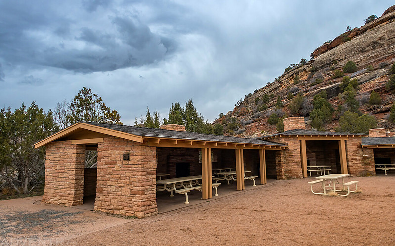
We started our hike by the Devils Kitchen Picnic Shelter which was built in 1941 by the CCC (Civilian Conservation Corps) and LEM (Local Experienced Men) with materials that came from the construction of Rim Rock Drive.
We got up early on Sunday morning and dropped my Jeep off near the West Entrance at Redlands View and then took Diane’s car back to the Devils Kitchen Picnic Area so we could start our hike from there. According to the weather forecast when I checked it on Saturday night, it was supposed to be partly cloudy today, but the forecast changed on Sunday morning and it was completely overcast with a few light snow storms moving through the Grand Valley. We started our hike around sunrise, but all the clouds in the sky made it a pretty gloomy morning. The sky would stay overcast for the entire first half of the hike with a little snow falling on us occasionally, but the sun did come out for a short time in the afternoon when we were near Gold Star Canyon and Monument Canyon. According to my GPS at the end of the hike, the entire route was exactly 12 miles long with around 1,800 feet of elevation gain. It had been a while since either of us did a hike quite this long, so our legs were tired at the end, but it was still a great day outdoors near home!
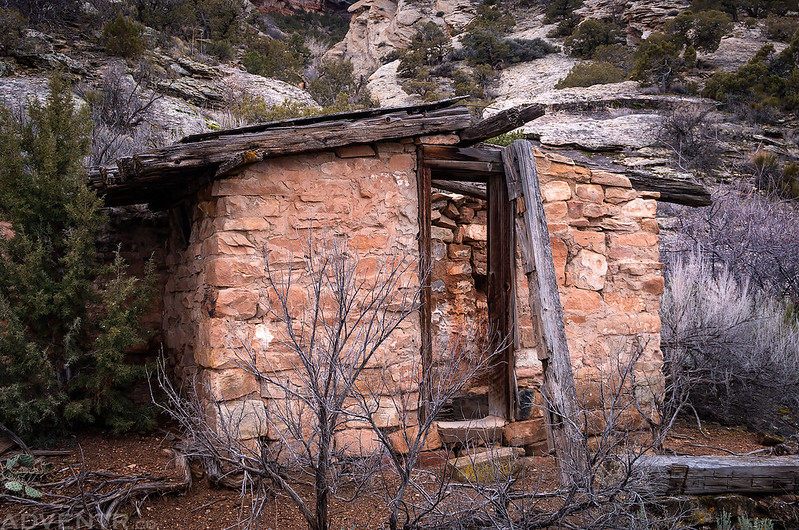
On our way to Red Canyon we passed this other historic structure that is built out of stone and railroad ties.
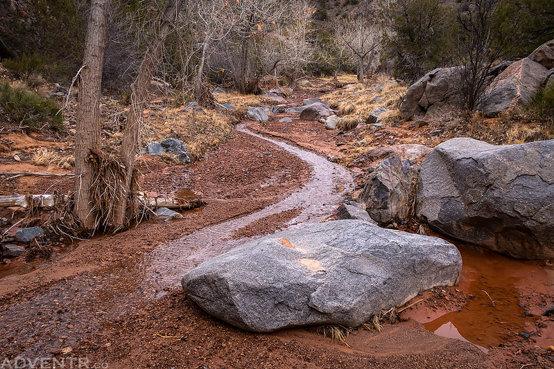
When we arrived in Red Canyon we found that the creek was flowing and there was even a little waterfall at the mouth of the canyon. With all the wet weather we’ve had lately, many of the normally dry washes we crossed over on this hike had a little water flowing in them.
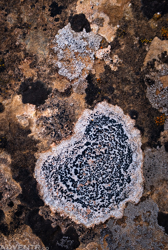
With the overcast sky above, I payed closer attention to the little details along the route, like this spot of lichen on a rock.
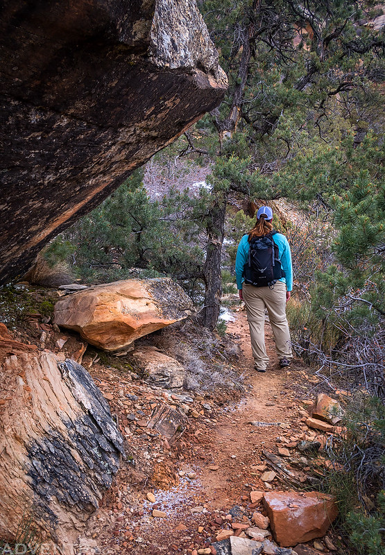
Following a backcountry trail under the low branch of a pinon pine tree.
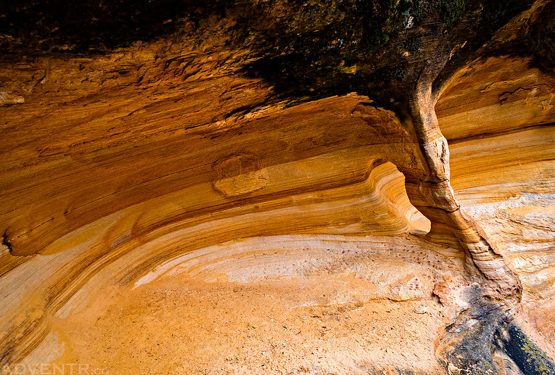
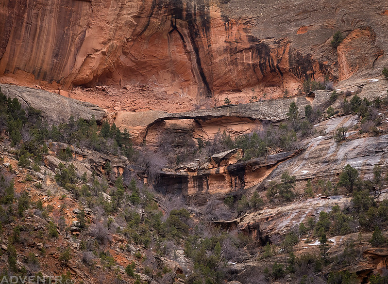
A little yellow alcove with a small arch I spotted near the trail.
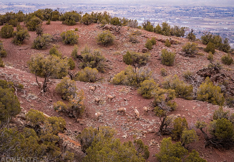
Diane spotted this flock of desert bighorn sheep below us.
We watched a few snow squalls move across the Grand Valley and the Little Book Cliffs. Eventually a few of them reached us and we found ourselves hiking through falling snow.
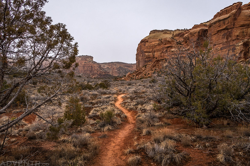
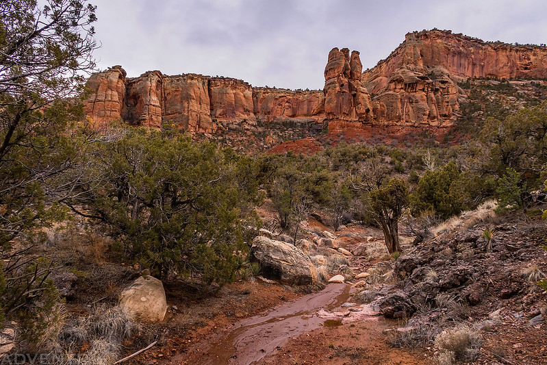
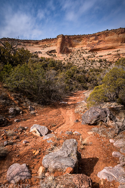
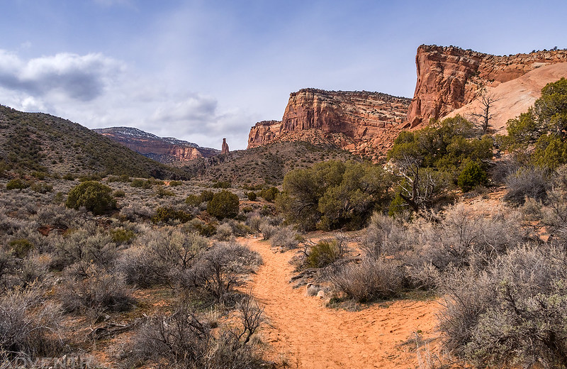
Looking up the trail in Ute Canyon.
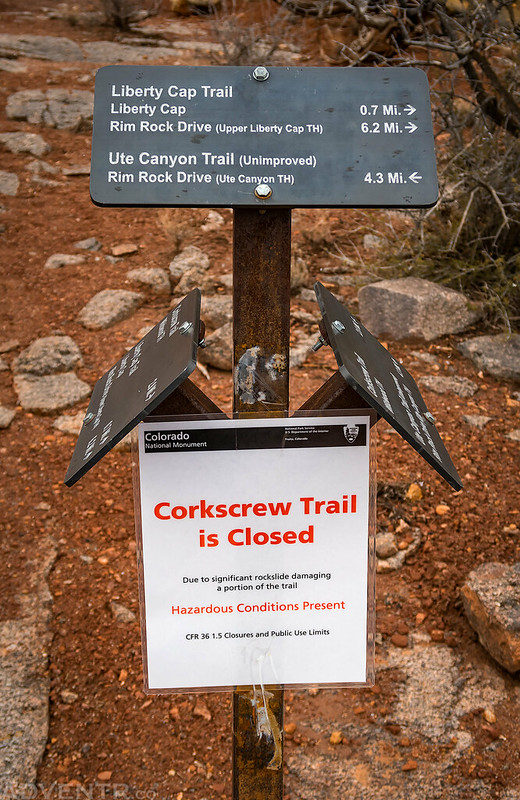
When we reached the intersection with the Corkscrew Trail we found this sign stating that it is still closed. I sure hope it opens back up again this year!
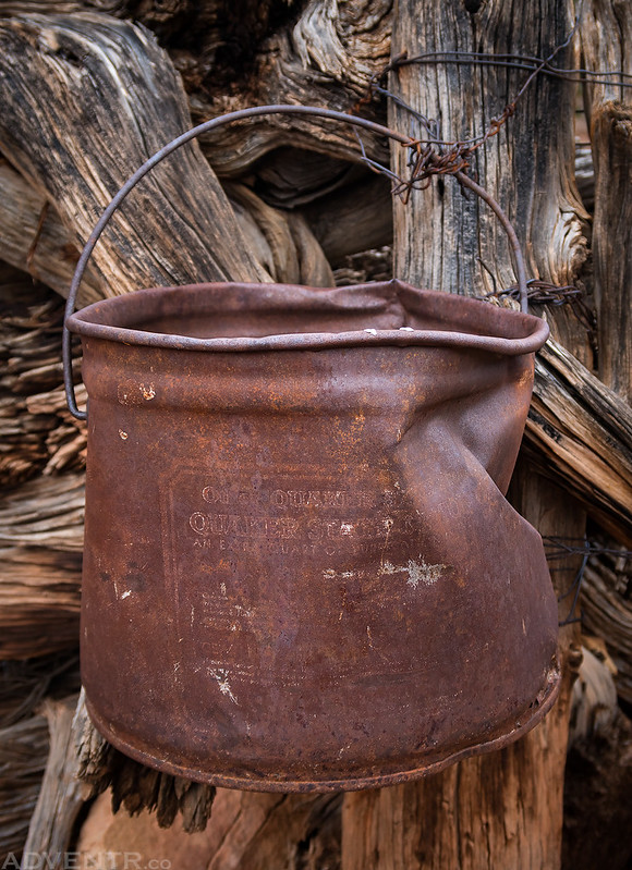
Historic remnants along the trail: Quaker State Motor Oil
An old fence from the cowboy days in the Monument.
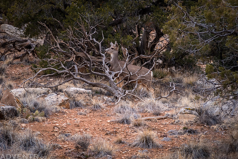
We spotted this deer above the trail on the Precambrian Bench.
Bench Trail Arch
Just a scenic little side canyon.
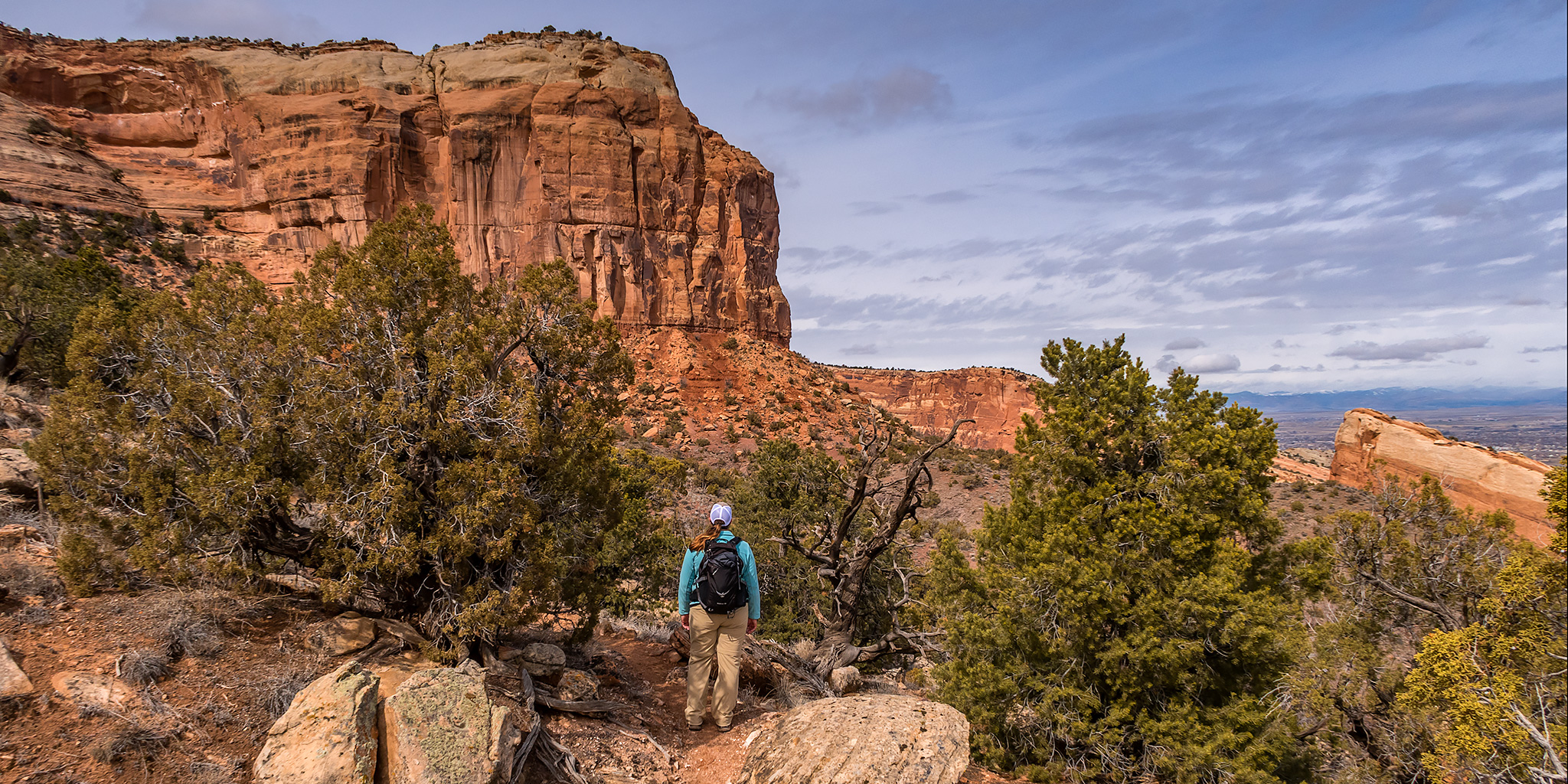
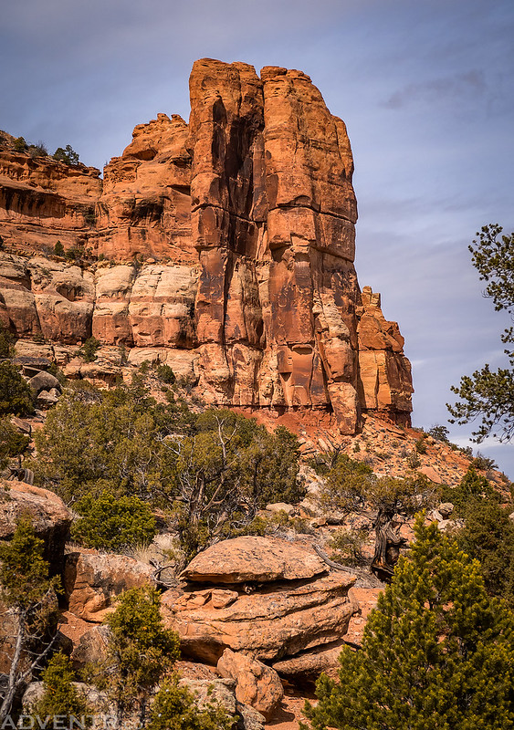
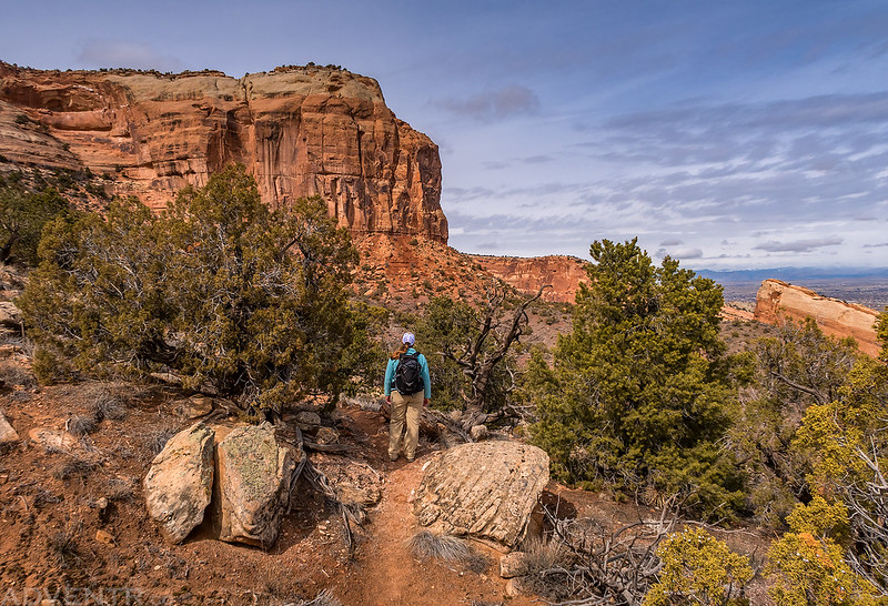
Diane stopped along the trail below the cliffs of Monument Mesa.
By the time we reached Gold Star Canyon the sun had finally come out and we could see some blue sky! It was perfect timing since the Gold Star Canyon area always looks nice.
Following the Mushroom Rock Trail toward Monument Canyon.
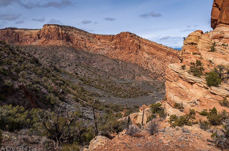
Crossing over Little Island Pass into Monument Canyon. The red cliffs of The Island are on the other side of the canyon.
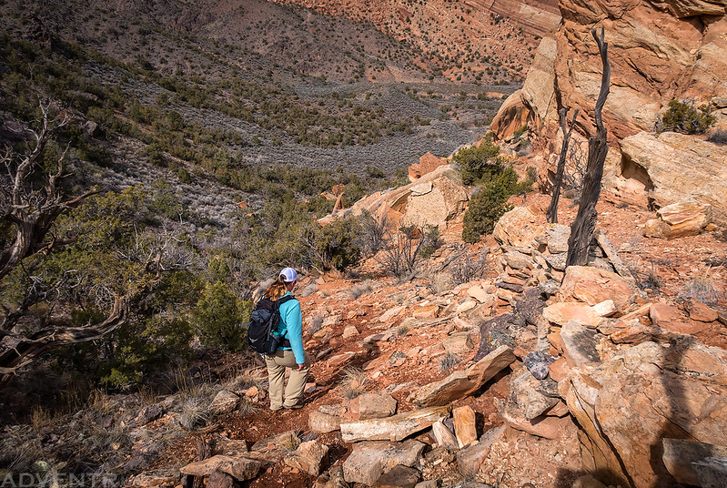
Diane starts the steep off-trail descent into Monument Canyon.
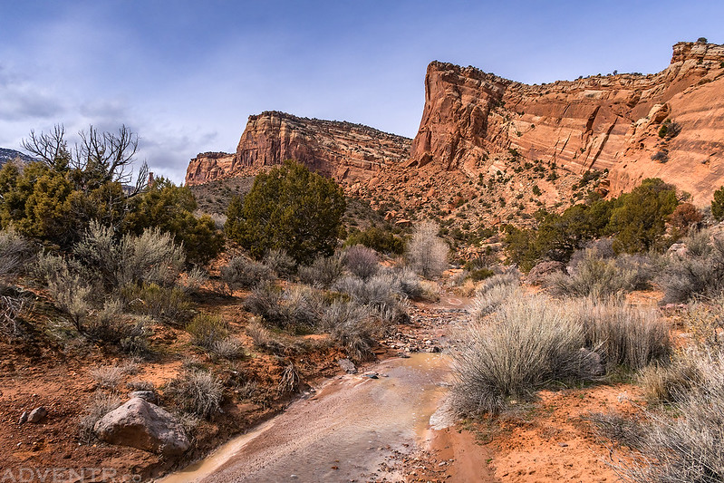
The wash in Monument Canyon had some dirty water flowing in it.
When we reached the Monument Canyon Trail it was the first time we saw any other people all day.
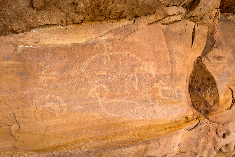
I made a quick stop at some Ute petroglyphs.
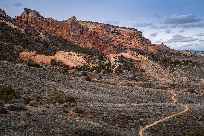
Following the Wedding Canyon Trail near the end of our traverse. There’s only about a mile left to Dead Mans Curve ahead.
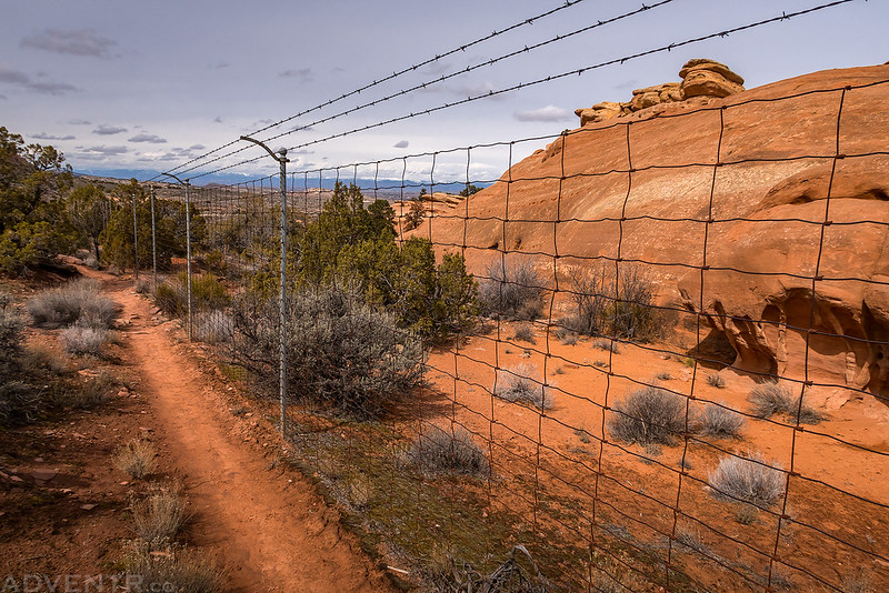
Following the old buffalo fence along the boundary of the park.
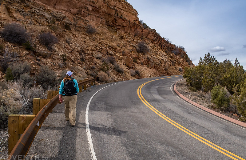
Diane hikes around Dead Mans Curve as we followed the road to my Jeep at Redlands View.
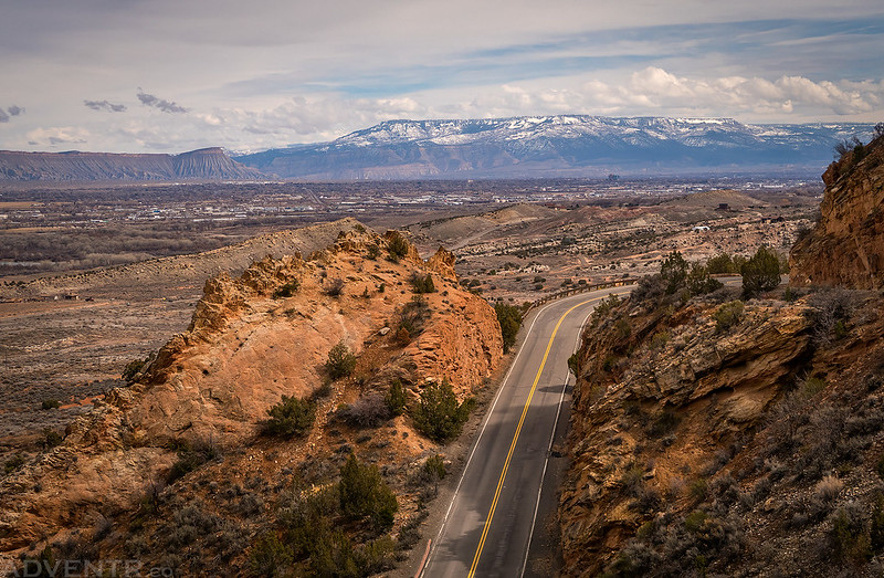
Looking back over the road to Mount Garfield and the Grand Mesa in the distance.
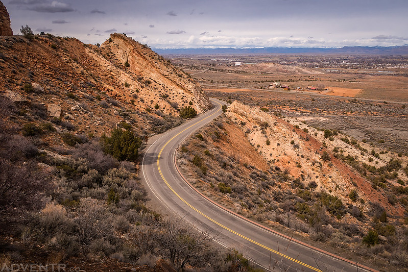
One last view over Rim Rock Drive. If you look above you see my Jeep parked at Redlands View.
