Colorado Adventure 2018 | Tuesday, August 7, 2018
After going to bed early on Monday evening I actually slept very well overnight and was wide awake when my alarm went off at 3:30am so I could get an alpine start this morning. I had a quick breakfast and then drove a short distance to the Missouri Gulch Trailhead and was on the trail by 4:00am by the light of my headlamp. The stars above were bright and there was a sliver of the moon just barely visible through the canopy of trees above as I climbed the trail up Missouri Gulch. It was very humid out when I first started hiking but it got progressively colder the higher I climbed. I actually ended up putting my gloves on for a while when I got above treeline before the sun came up. To be honest, when I started this hike I wasn’t very sure if I was in good enough shape to make it to both Mount Belford and Mount Oxford since it would be a long hike with a lot of elevation gain, but I at least hoped I’d make it up to Mount Belford and then would decide what to do when I got up there based on the weather and how I was feeling.
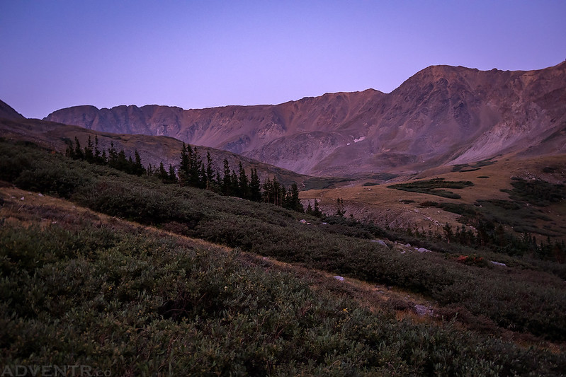
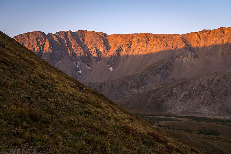
A touch of alpenglow on Missouri Mountain as I hiked above treeline in Missouri Gulch.
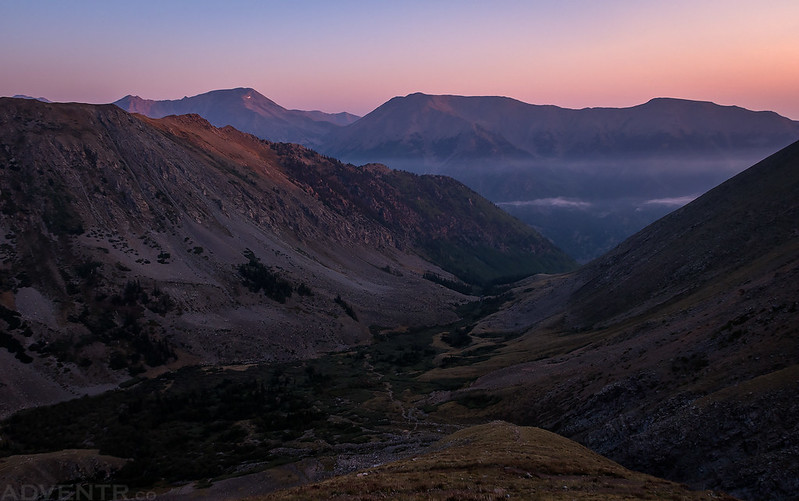
Looking back down Missouri Gulch to Mount Hope (13,933) and Quail Mountain (13,461) as I hiked up the many switchbacks on the steep Northwest Ridge of Mount Belford.
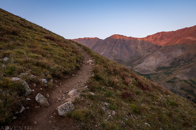
A touch of light across Missouri Gulch as I climbed one of the many short switchbacks on this trail.
Sunrise on Missouri Mountain (14,067), which is currently my nemesis since it is the only 14er that I have attempted but did not reach the summit! I will be back to try again from Pine Creek someday.
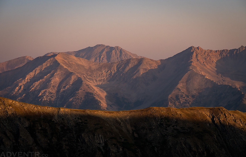
As I climbed higher up the ridge I got a hazy view over to La Plata Peak (14,336), which was definitely one of my favorite climbs in the Sawatch Range. As the sun came up I could tell that there was a lot of smoke in the atmosphere again this morning.
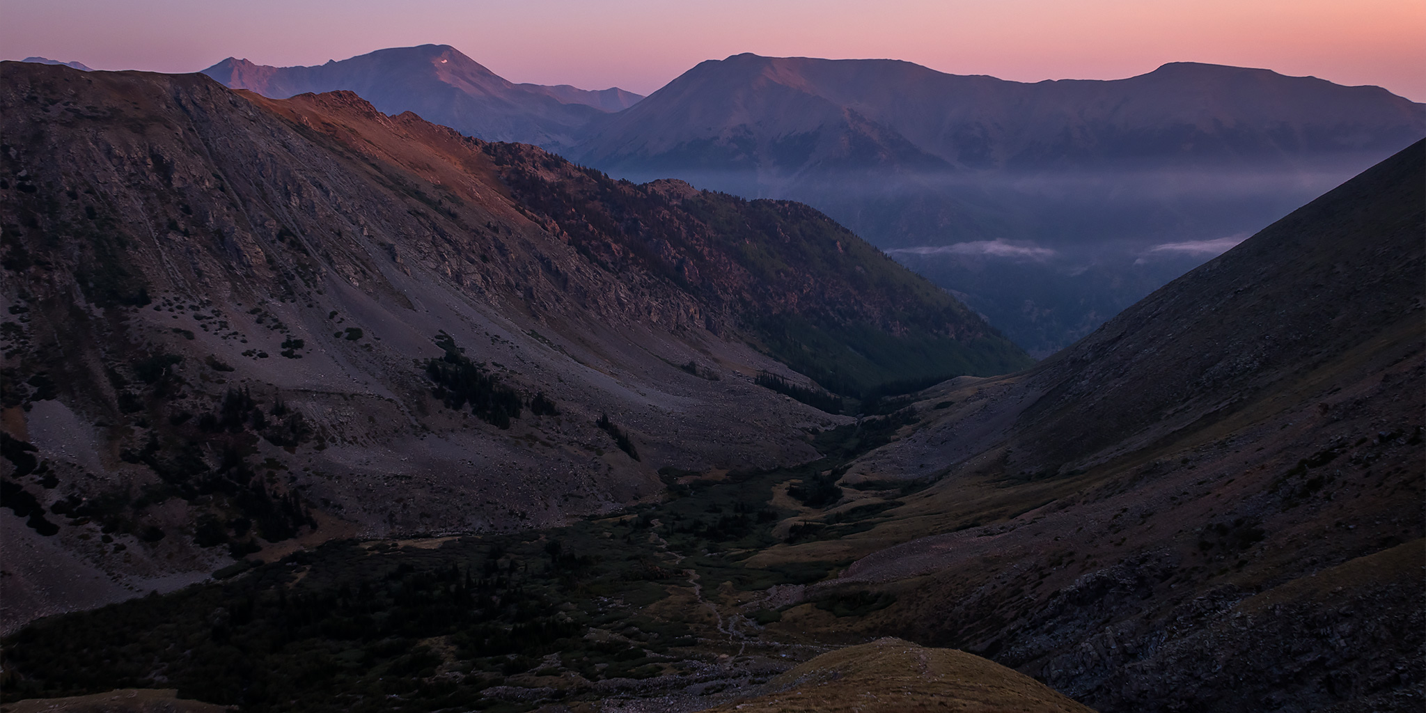
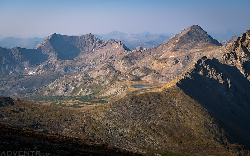
I was also treated to a smoky view over Elkhead Pass to Missouri Basin and Emerald Peak (13,904).
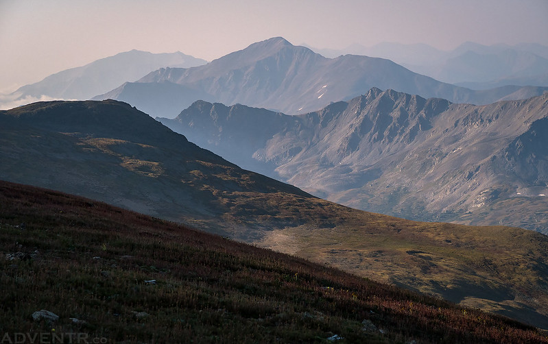
Smoky layers of mountain peaks.
As I neared the summit of Mount Belford, I could see that there were some low clouds filling the Arkansas River Valley in the distance.
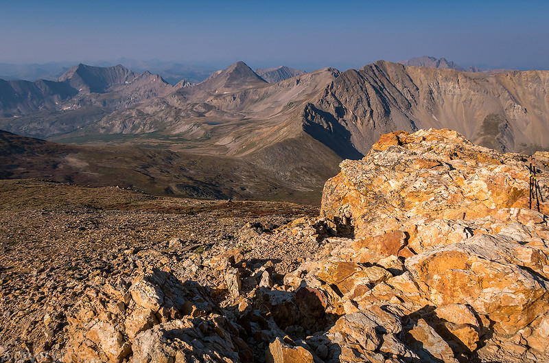
A view from the summit of Mount Belford (14,197) toward the Missouri Basin. Huron Peak (14,003) is visible over on the right side over Missouri Mountain.
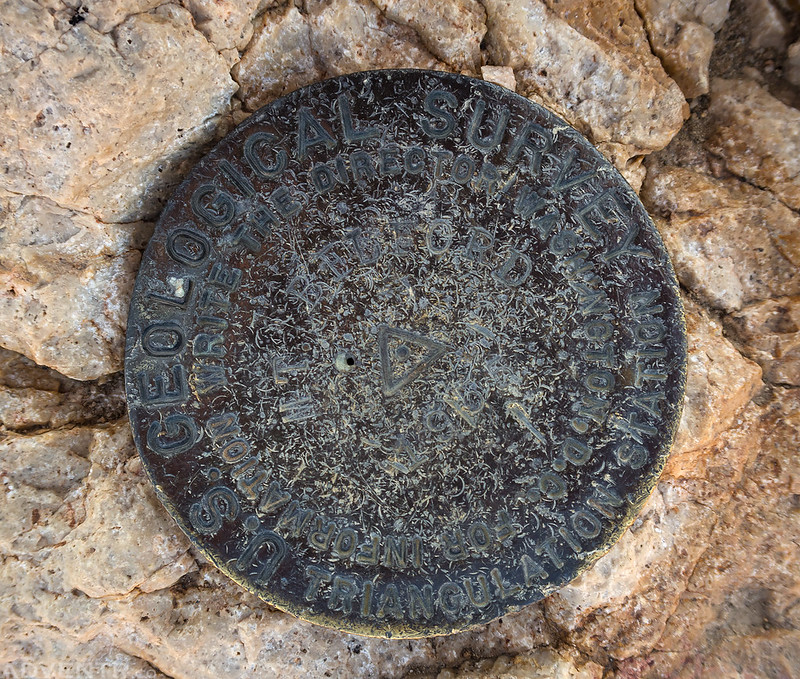
The Mount Belford benchmark.
Even though I was moving slow on this climb, I was feeling pretty good when I reached the summit of Mount Belford and the sky was still completely clear. I couldn’t get signal on my phone, so I couldn’t check the current weather forecast, but the day before it wasn’t calling for any storms today. Based on this information, I decided to carry on and hike over to Mount Oxford which was another mile and a half away with around 700 feet of elevation again, plus I would have to return over Mount Belford again on the way back.
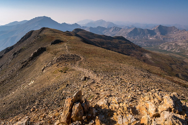
Following the trail from the summit of Mount Belford toward the saddle on my way to Mount Oxford.
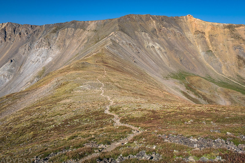
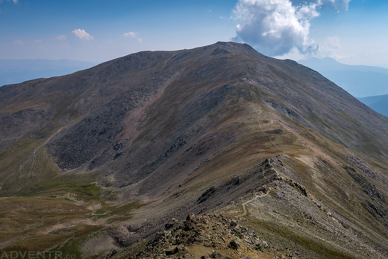
Looking back at Mount Belford (the summit is the yellowish point on the right) from the saddle between the two mountains.
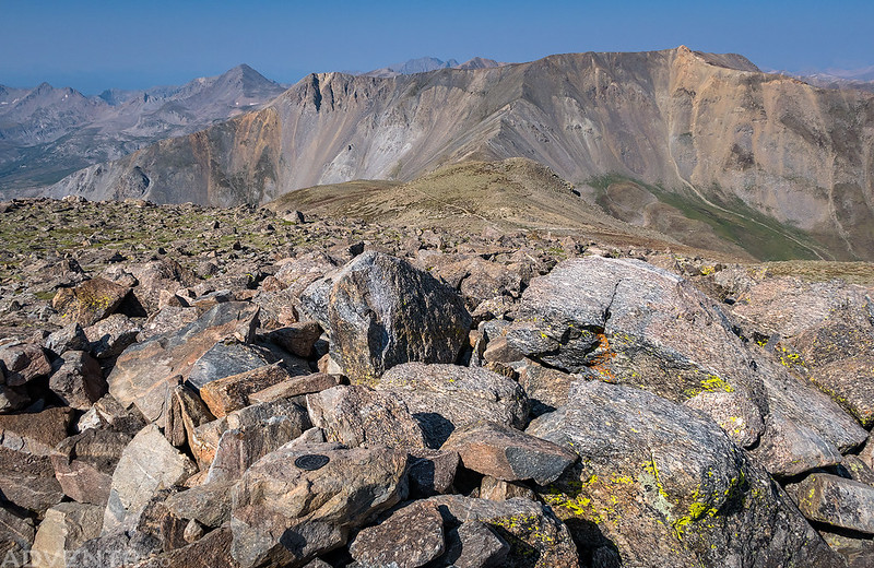
A view of Mount Belford from the summit of Mount Oxford (14,153).
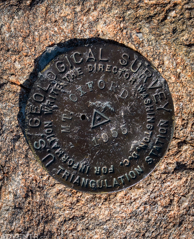
The benchmark on Mount Oxford.
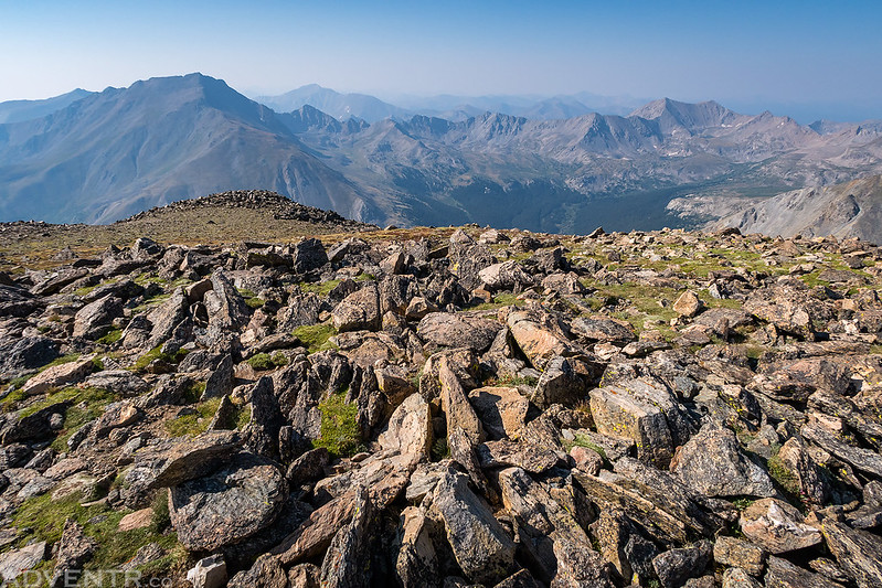
Another view from the large flat summit of Mount Oxford with Mount Harvard (14,420) in the background on the left.
It took me about an hour to reach the summit of Mount Oxford from Mount Belford, but my legs were getting tired by this point and it ended up taking me about an hour and a half on the return trip. The weather was holding out so there were no worries about speeding up on the way back. Instead of returning the same way I had come, I made a loop by following the trail from Mount Belford to Elkhead Pass down into Missouri Gulch. Even though this was a longer route, it was not nearly as steep, so it was a bit easier.
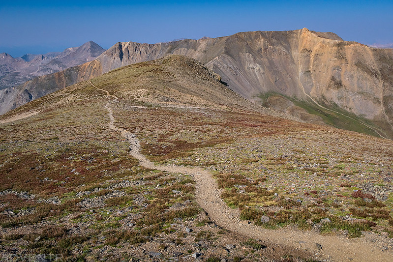
Leaving on the trail from the summit of Mount Oxford.
Looking back to Mount Oxford during my hike back over to Mount Belford. The first few clouds of the day were just starting to appear.
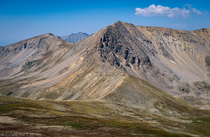
A good view of Missouri Mountain and Iowa Peak (13,831) as I hiked down to Elkhead Pass.
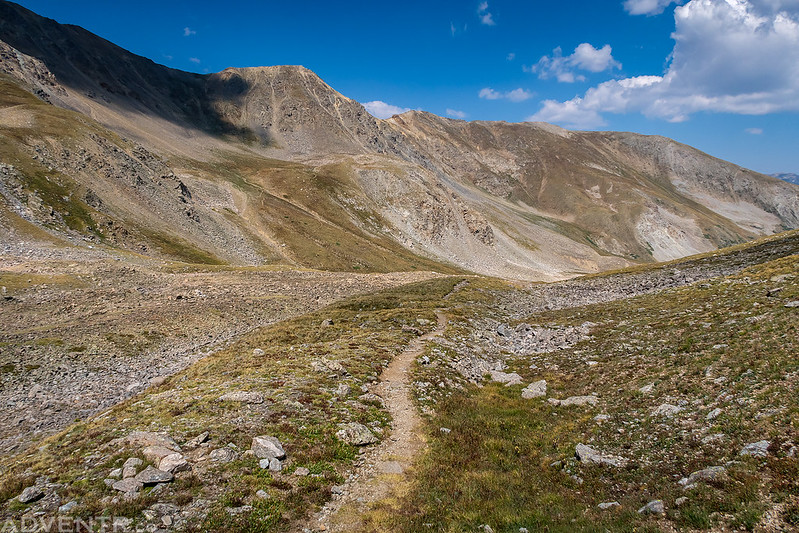
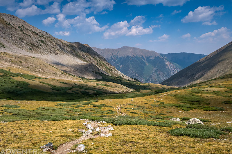
Following the Elkhead Pass Trail back down Missouri Gulch.
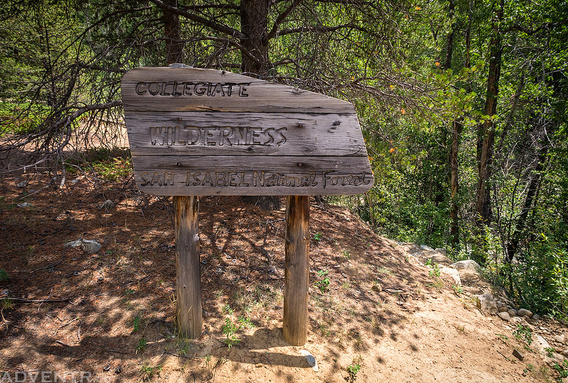
Leaving the Collegiate Peaks Wilderness area just before reaching the trailhead.
By the time I reached the trailhead at 1:30pm it had been a long day and my GPS was reporting 13 miles with around 6,000 feet of elevation gain. My legs were certainly feeling it and I was surprised that I was able to make it to both summits. I hopped into my Jeep and headed to Leadville for a late lunch at High Mountain Pies and so I could hike a few easy 13ers in the Mosquito Range on Wednesday morning.
>> Mount Belford & Mount Oxford Loop Photo Gallery

Thanks for another great inspiring journey! What’s your camera system these days?
I’ve only been carrying a point and shoot camera on most of my hikes this summer. All of these photos were taken with a Canon G7 X Mark II.