Friday – Sunday, September 16-18, 2016
After only hiking one new fourteener this year, I knew I had to get out this weekend to at least try to get another one or two in before snow started sticking around in the high country. It’s been a couple of years since the last time I visited the Sawatch Range, so I thought it would be a good idea to head that way for a change. Then I figured that I might as well go for Mount Elbert (14,433), the highest peak in Colorado and the Rocky Mountains. It’s second only to Mount Whitney (14,508) in the contiguous United States.
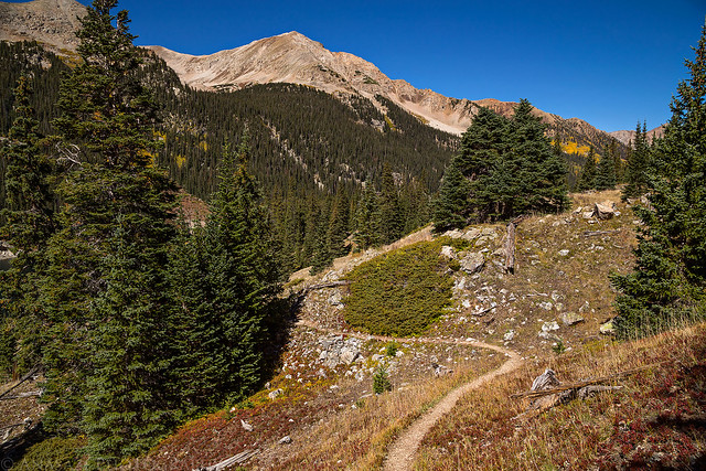
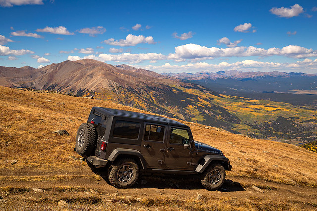
I left right after work on Friday afternoon and headed straight into the mountains. After a quick dinner in Rifle I drove through Aspen and then over Independence Pass to the Twin Lakes area. I drove up the rough road to the trailhead for the South Elbert Trail (East Ridge) and found a campsite just after sunset. It had been a long day and I was planning on an alpine start in the morning, so I quickly got to bed and fell asleep.
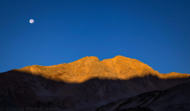
I caught warm light on La Plata Peak (14,336) shortly before sunset as I drove down the east side of Independence Pass.
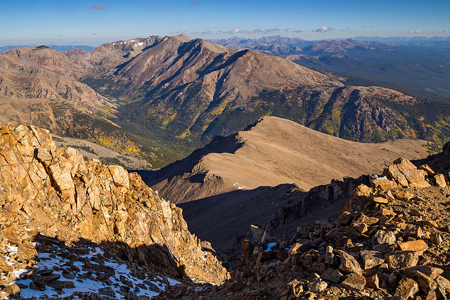
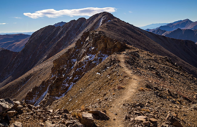
On Saturday morning I woke up to my alarm at 4:00am and drove the rest of the way to the trailhead. I started hiking by 4:30am with the light of my headlamp leading the way. Though the moon was out and almost full, it didn’t provide me with much light in the trees at the beginning of the trail. The trail starts out by following part of the Colorado Trail but shortly turns off and starts climbing the East Ridge all the way to the summit. I caught the sunrise well above treeline on the ridge and made it to the summit by about 8:00am. I was surprised and happy to have the summit all to myself for at least a half an hour and then I started to head back down. From the top I enjoyed the view of Mount Massive (14,421) and many other surrounding peaks. Since the trail wasn’t too steep and was in good shape for much of the way, the hike back down only took me about 2 hours.
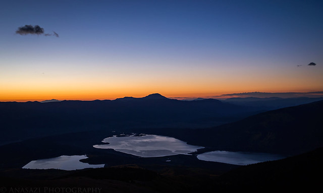
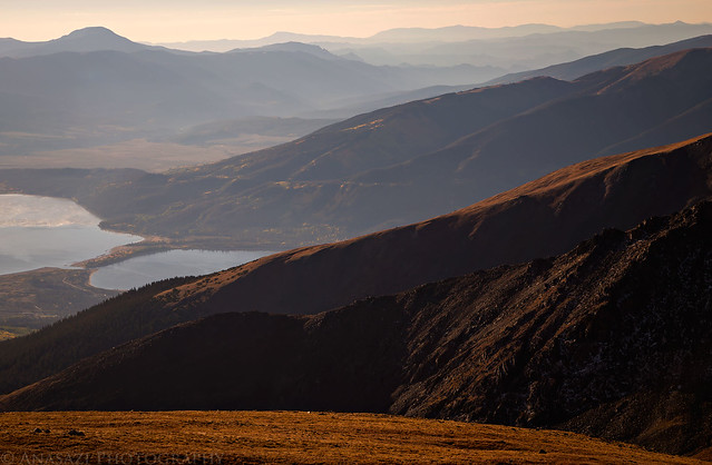
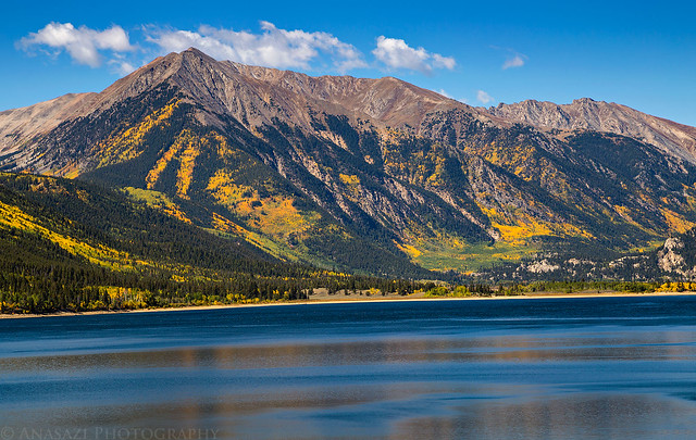
The Twin Lakes and Mount Elbert Forebay below in the very early light of dawn. The highest peak on the horizon in the middle is West Buffalo Peak (13,326) and you can see Pikes Peak (14,110) off to the left sticking up above the darker Mosquito Range.
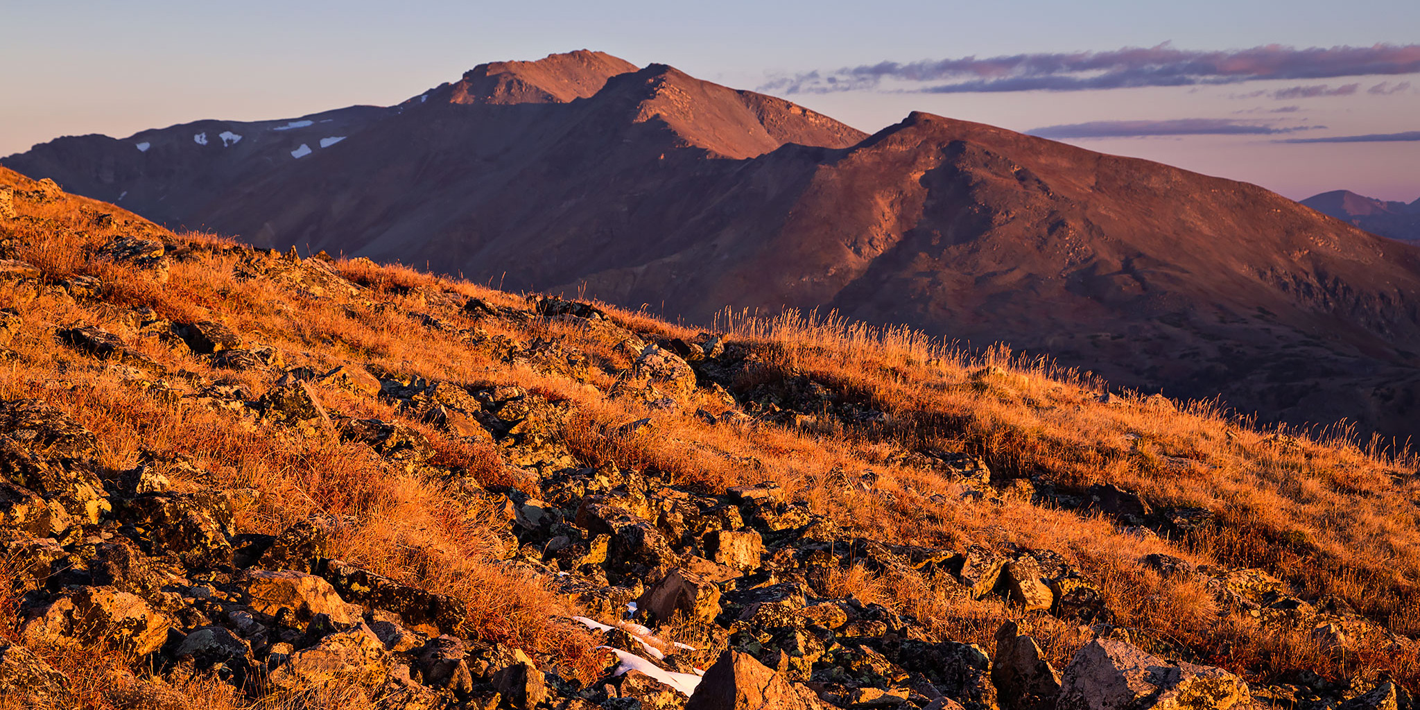
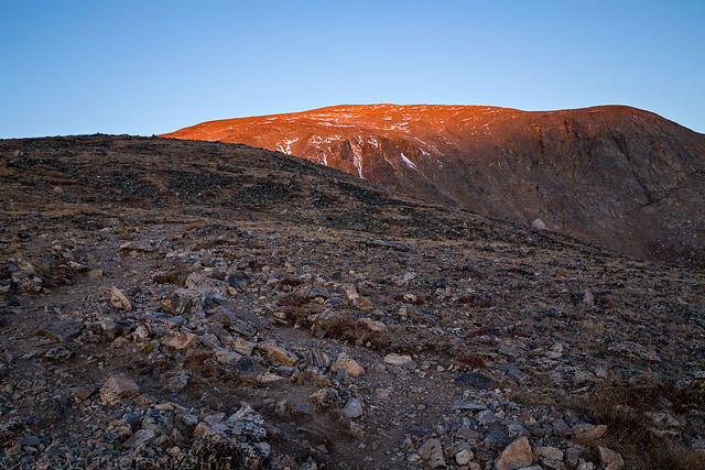
The first light of the day strikes the top of Mount Elbert above me.
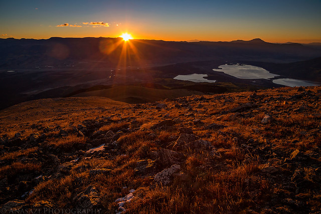
The sun finally rises over the Mosquito Range to warm me up.
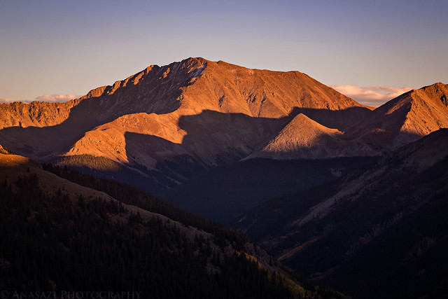
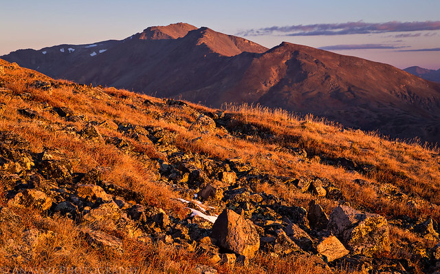
Sunrise on Mount Massive (14,421), the second highest peak in Colorado. I might have to hike that one next year…
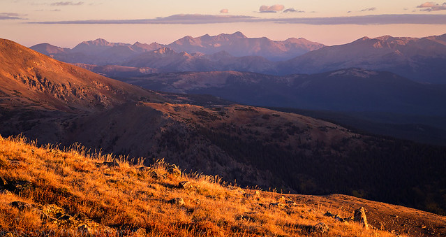
A distant view of the Holy Cross Ridge and the Mount of the Holy Cross (14,005).
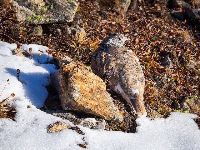
Rock or ptarmigan?
It seemed a bit hazy this morning, but I like what it did for this view down the Arkansas River Valley over Twin Lakes.
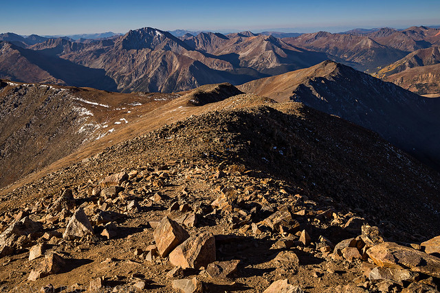
Finally made it to the summit!
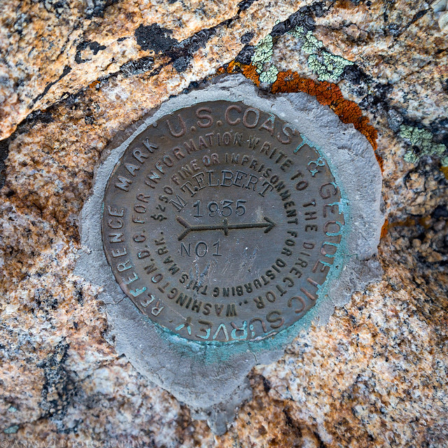
I had to take a photo of the benchmark.
Another view from the summit over North Halfmoon Creek towards Mount Massive and Holy Cross.
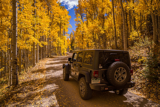
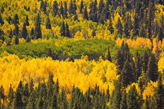
I didn’t get to enjoy the fall colors on my hike up since it was dark out, but I did on the way down.
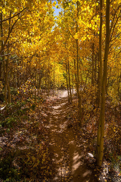
The colors were starting to look pretty good around here.
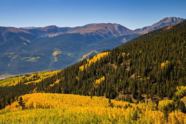
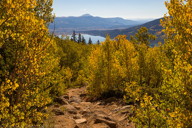
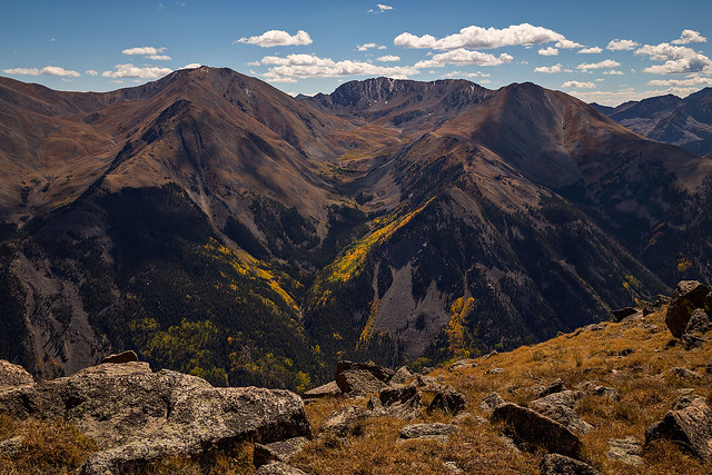
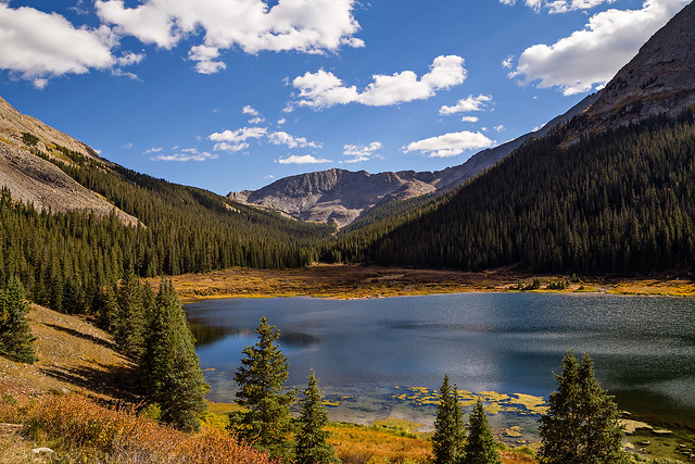
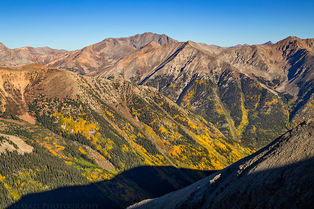
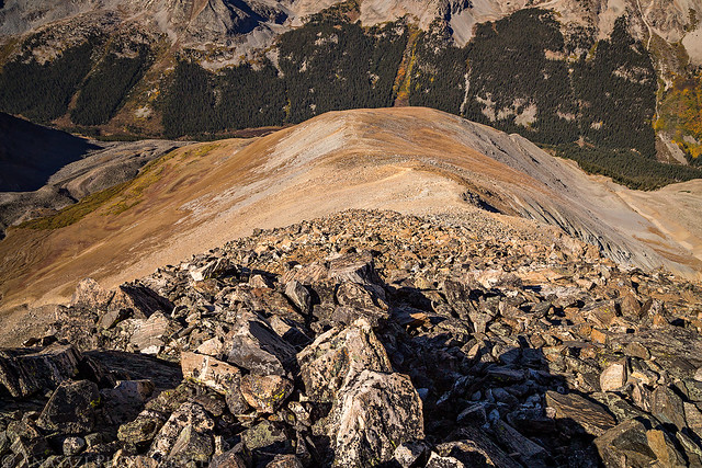
After returning to my Jeep at the trailhead, I drove back down to the highway and headed into Leadville for lunch at High Mountain Pies. They have excellent calzones! Then I went for a drive up Lost Canyon Road all the way to PT 13130. The fall colors along this road were very good and from the top there was a nice view of Mount Oxford (14,153), Mount Belford (14,197) and Missouri Mountain (14,067) on the other side of Clear Creek. My plan for the following morning was to hike to the summit of Missouri Mountain, so it was nice to see it from up here first. After taking in the expansive views I drove back down and then followed Clear Creek Road to Rockdale where I turned off the main road and drove up the rough 4×4 road to Closhey Lake. I found a nice campsite in the last big clearing before the end of the road and settled in for the night.
Fall colors seen over Twin Lakes from the highway on my way to Leadville.
Driving through the beautiful fall colors along Lost Canyon Road.
The view from the top of PT 13130. Mount Belford is on the left and Missouri Mountain is in the middle above Missouri Gulch.
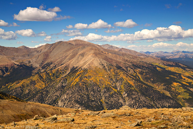
There was a nice view of Mount Elbert from up top, too.
Driving back down a steep section of the road with Mount Elbert in the background.
A few more colors along the road.
An afternoon view of Clohesy Lake before I found a place to camp for the night.
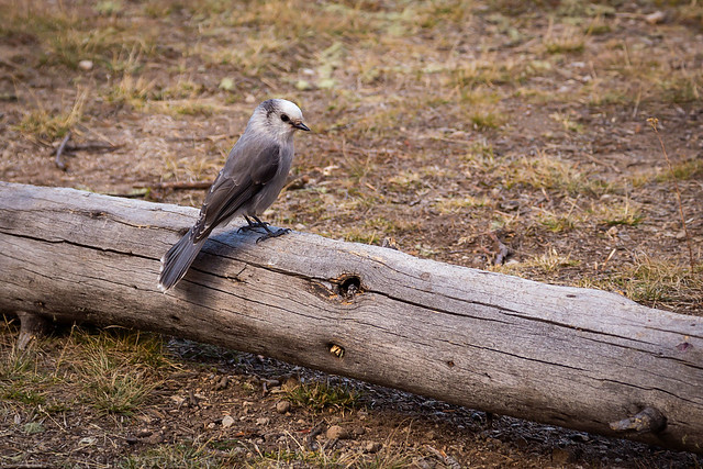
While I was in camp a number of these Gray Jays (Camp Robbers) were hanging around and would get very close to me.
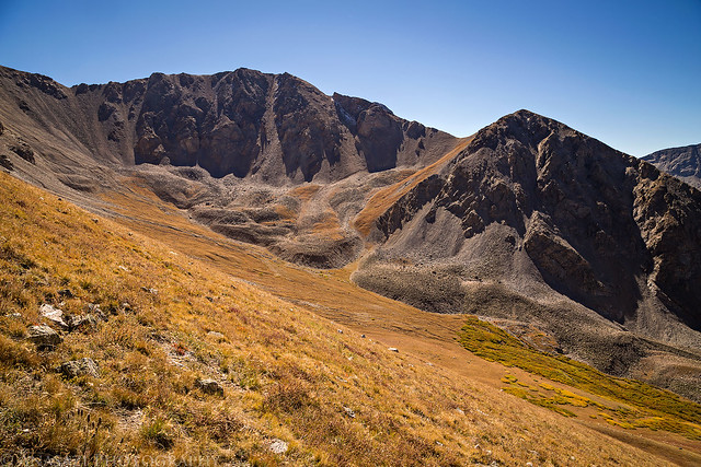
I decided to sleep in a little later on Sunday morning since the hike to the summit of Missouri Mountain via the West Ridge was a little shorter with less elevation gain, albeit steeper. I woke up at 6:00am, drove the short distance to the trailhead and was hiking by 6:30am.
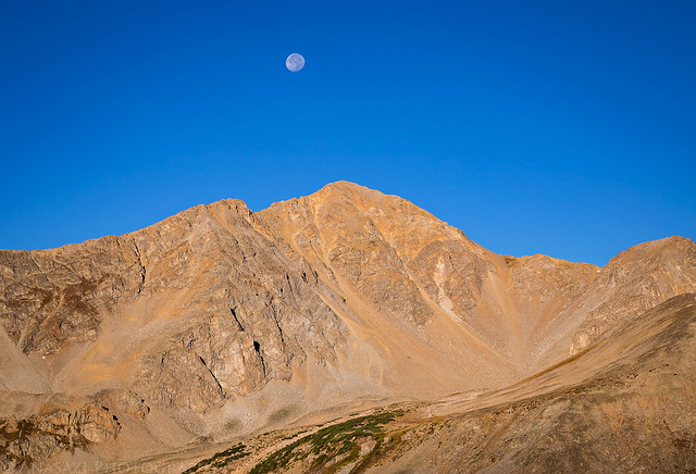
This route offered a good view over to Huron Peak (14,003), especially at sunrise with the moon over it this morning.
Huron Peak and the moon a little later in the morning.
Fall colors below with La Plata Peak in the distance.
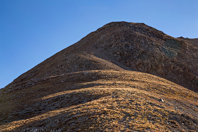
As I was hiking up the West Ridge, this rocky section ahead concerned me. It looked very steep and I was worried it would be too much for me. Of course, things always look steeper from a distance and once I reached this section is was easy scrambling to the ridge above.
After reaching the top, the trail joined up with the standard route and followed the ridge to the summit.
Unfortunately, I would not be making it to the summit today. Less than 100 feet from the top I was stopped by this section of the trail and was not comfortable continuing. I had no problems downclimbing on the solid rock in the foreground, but once I reached the slanted pea-gravel section before the spires, I couldn’t convince myself to go any further. This section was steep (it’s steeper than it looks in the photo) and loose with quite a bit of exposure. My shoes just would not grip this stuff and I kept sliding. I sat down at the edge of this section and tried to find another way that I was comfortable with, but I just couldn’t do it. It really sucks that this 10-20 foot section stopped me just short of the summit, especially since this is the very first time I have ever been turned around from reaching a summit (I knew it was bound to happen eventually). Hiking back down I felt pretty defeated that I couldn’t reach the summit on what is supposed to be an easier Class 2 hike, especially since I have completed harder routes before.
Hiking back down the West Ridge of Missouri Mountain.
A view of Iowa Peak (13,831) on my way down.
Following the trail back to the trailhead just above Clohesy Lake.