Press "Enter" to skip to content

Tag: thunderstorm

Stillwater Canyon: The Green River in Canyonlands

Floating from Mineral Bottom to The Confluence | Average CFS: 2,590
Friday – Wednesday, September 16-21, 2022

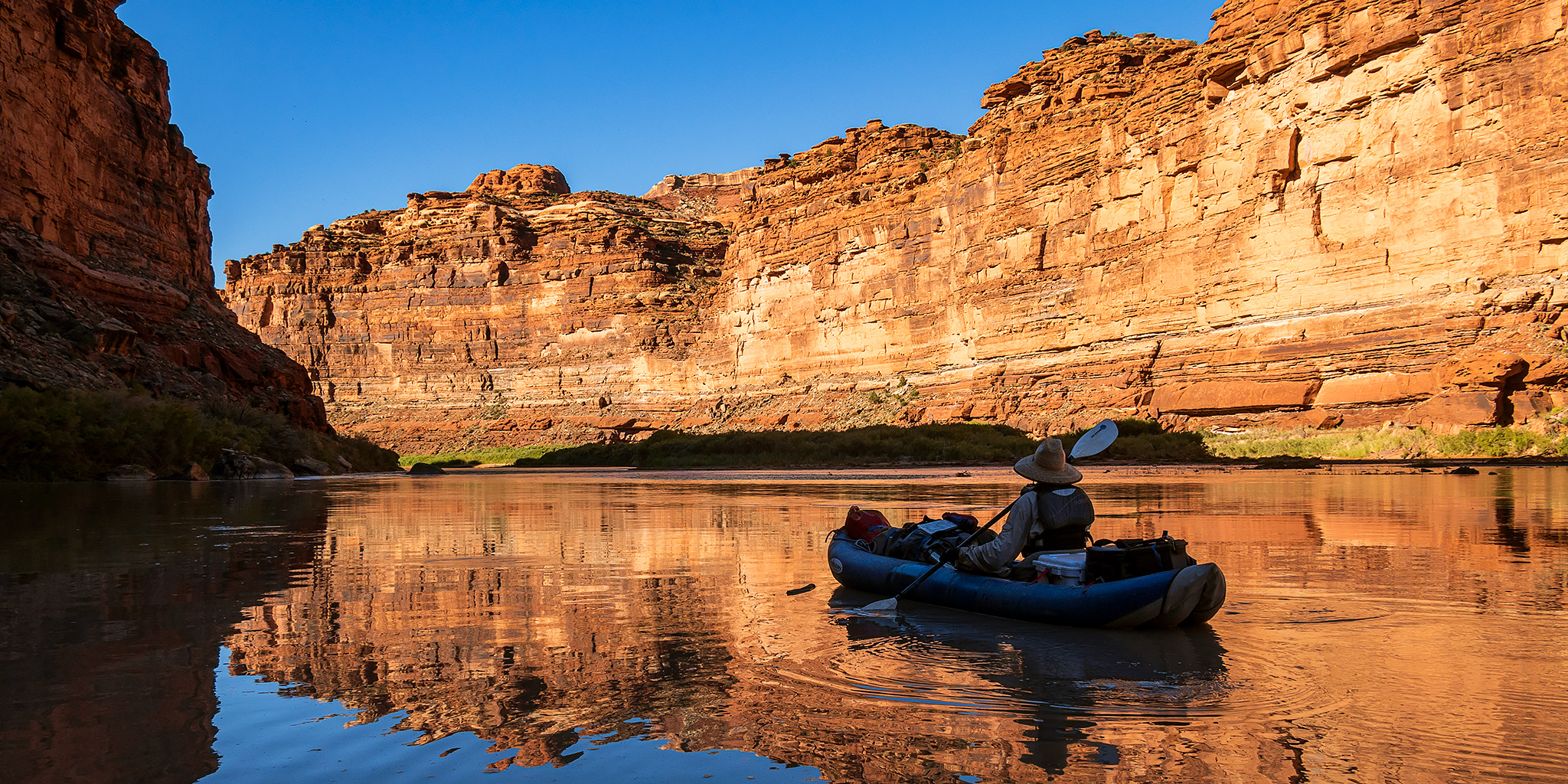
The time had finally come! It was time for me to float the Green River through Stillwater Canyon in Canyonlands National Park and I couldn’t have been more excited! I’ve wanted to float this stretch of the river for many years now but have always put it off for other trips because I was a little concerned about making it to The Confluence in time for the Jetboat shuttle. Our float down Meander Canyon was actually kind of a test to see how easy it would be for us to make that kind of distance in our inflatable kayaks at this time of the year, and we ended up coming up short by about eleven miles on that trip. Still, I made it one of my goals to finally get into Stillwater Canyon this year and booked the Jetboat shuttle back in February. This time I added an extra day to the trip just to make sure we would have enough time to make it to The Confluence. As usual, my friends Jackson and Chris were supposed to join me on this trip, but unfortunately Chris had to back out the week before, so this time it would just be me and Jackson.

13 Comments
West Elk Wilderness: Cut Short on the Mill-Castle Trail

Saturday, August 13, 2022

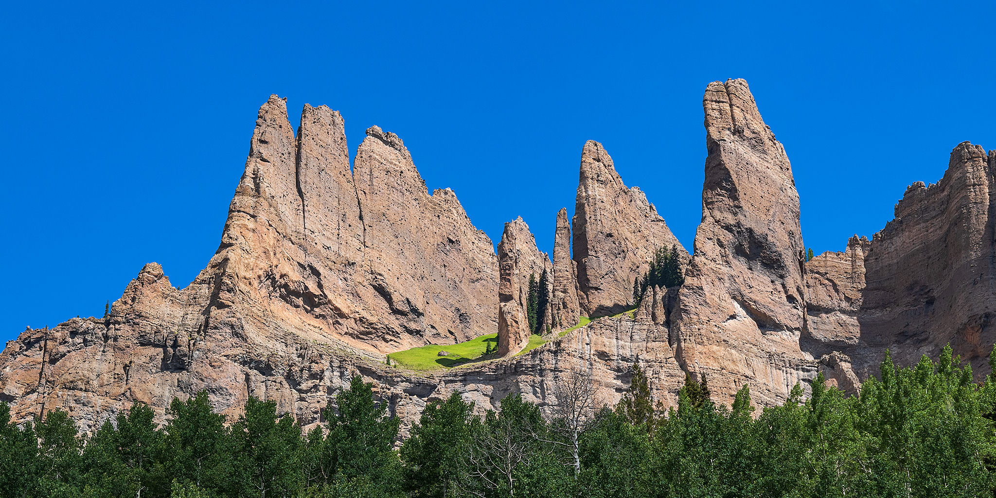
This weekend Diane was able to get away from her clinical rotations for a bit so she could go on an overnight backpacking trip with me into the West Elk Wilderness. We planned to take it easy by hiking up the Mill-Castle Trail along Mill Creek and thought that maybe we could make it up to the top of Storm Pass for an overlook of The Castles before returning the same way back to the trailhead. Unfortunately, this time we didn’t made it much further beyond the nice waterfall in Mill Creek and ended up turning this backpacking trip into a day hike. This was an amazingly scenic canyon and we both really enjoyed the shorter hike, so we will definitely need to return here again in the future!

2 Comments

Southern Sawatch Saweekend

Friday – Sunday, September 10-12, 2021

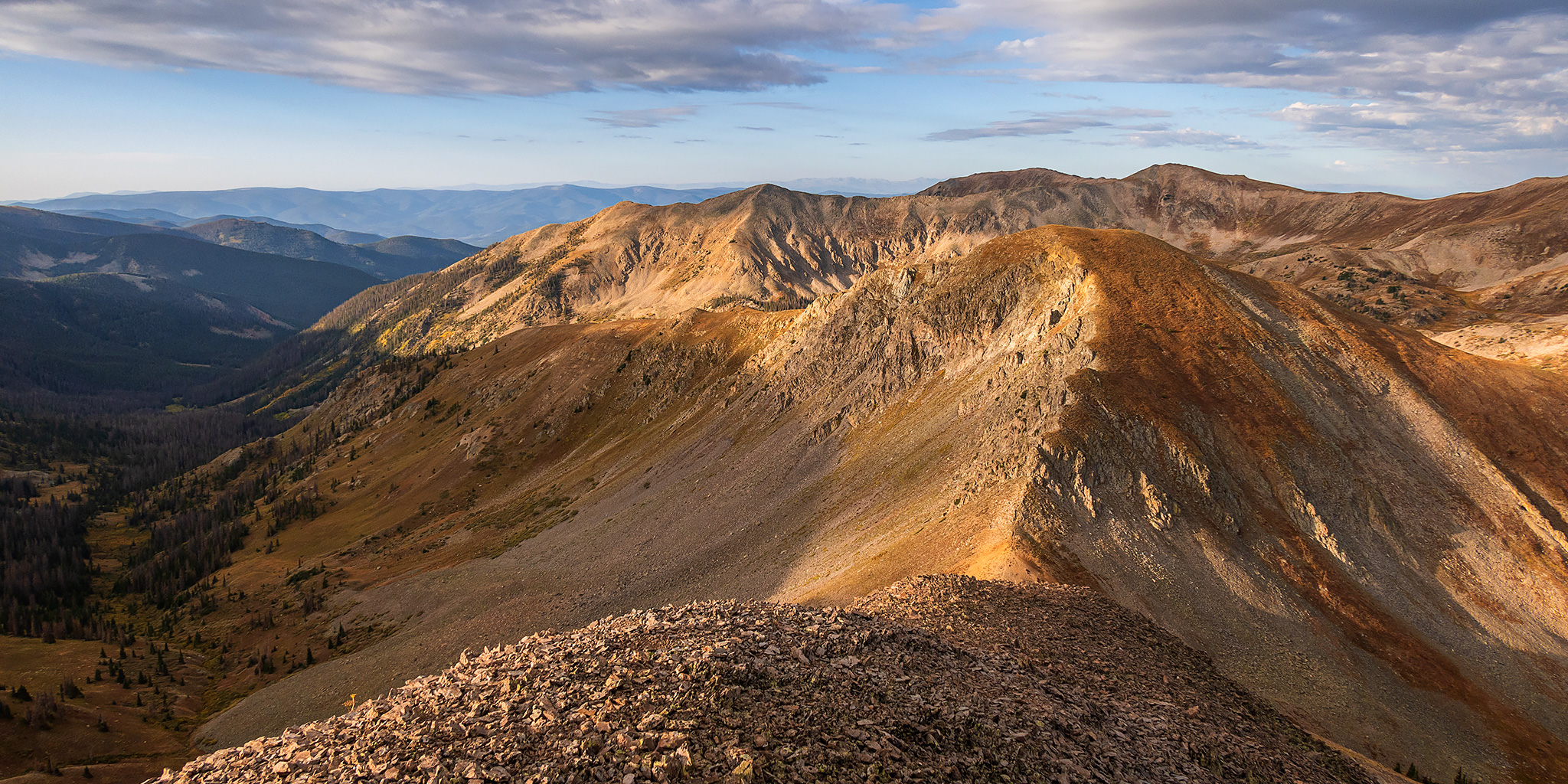
This weekend was going to be the last opportunity for me to hike a 14er this summer, and since I have climbed at least one 14er each summer since 2010 I was originally planning to. However, as I started figuring out my weekend plans I just wasn’t feeling like hiking on a busy trail and was looking for a little more solitude, so I decided to skip the 14ers this year and headed to the southern Sawatch Range to hike a few peaks along the Continental Divide instead. I left from work on Friday afternoon and headed to Gunnison, taking the route through Hotchkiss and Crawford since Highway 50 is still closed until 5:30pm on weekdays and I wasn’t sure how quickly I would get to that point. I topped off my fuel tank in Gunnison and then made my way over to Pitkin and started up the road to Hancock Pass. Unfortunately, the road near the top of the pass was much rougher than I remember it being and I wasn’t comfortable driving a section of it in the dark, so I returned all the way back to Highway 50 and drove over Monarch Pass to the Middle Fork of the South Arkansas River and found a place to spend the night shortly before the end of that road. It was pretty late by the time I arrived, so I went right to bed.

Leave a Comment

Carved from Calf Creek Plateau: Powderhorn Lakes

An Introduction to the Powderhorn Wilderness & Cannibal Point
Saturday & Sunday, August 14-15, 2021

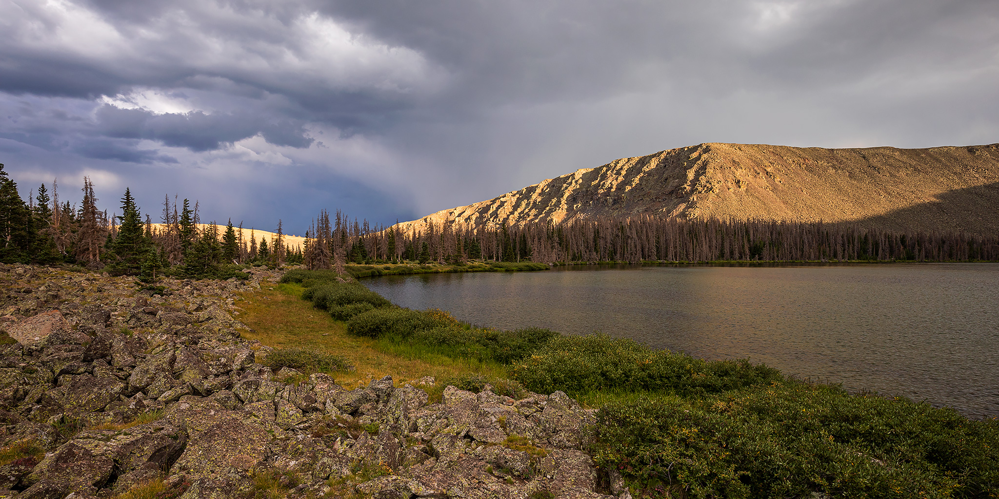
On Friday Diane finished another semester of school and finally had a full week off before she starts back up again. We had made plans to spend a couple of days in the Wind Rivers later in the week, but since she hasn’t been able to get out hiking much lately we thought it would be a good idea to get out on a quick overnight backpacking trip this weekend. As I looked over my maps of the San Juan Mountains for an easier overnight trip that wouldn’t be too far away from home, I thought it would be interesting to finally check out the Powderhorn Wilderness near Lake City with a hike up to the Powderhorn Lakes. The Powderhorn Wilderness is jointly managed by the BLM and the Gunnison National Forest and contains two huge plateaus over 12,000ft that make up the largest relatively flat expanse of alpine tundra in the lower 48 states, and I hoped to hike to the highpoint of the Calf Creek Plateau while we were up there. I also figured this area wouldn’t be very busy since it’s not a popular spot with the kind of high rugged peaks that seem to attract people.

3 Comments

Spencer Basin to Sugarloaf

Friday & Saturday, July 23-24, 2021

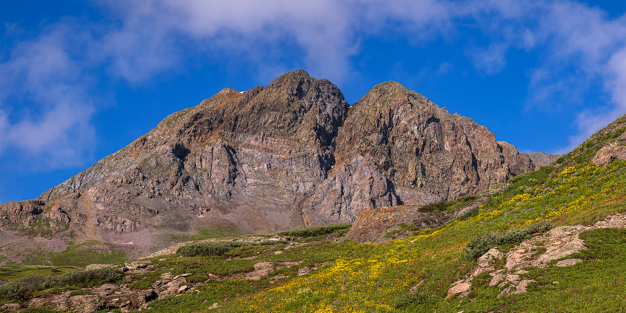
This weekend I needed to stay closer to home since Diane and I had another concert to go to on Saturday night and I wanted to be home early enough in the afternoon so I could rest for a little bit first. I was originally trying to find an easier summit close to Ouray since I was a little worried about all the mudslides we’ve been having in the mountains lately, and I really didn’t want to get stuck anywhere and miss out on the concert, but in the end I decided to head over Red Mountain Pass to Silverton so I could hike to the summit of Sugarloaf from Spencer Basin. Here’s a fun fact: There are at least 28 different Sugarloafs in Colorado (including peaks, mountains, rocks, etc…), but the one located above Spencer Basin along the edge of the Weminuche Wilderness is the highest one in the state at 12,754 feet.

1 Comment