Press "Enter" to skip to content

Tag: pictographs

Exploring Desert Stone: Harts Draw to Indian Creek

Tracing the Historic Route of the 1859 Macomb Expedition, Part II
Friday – Sunday, October 27-29, 2023

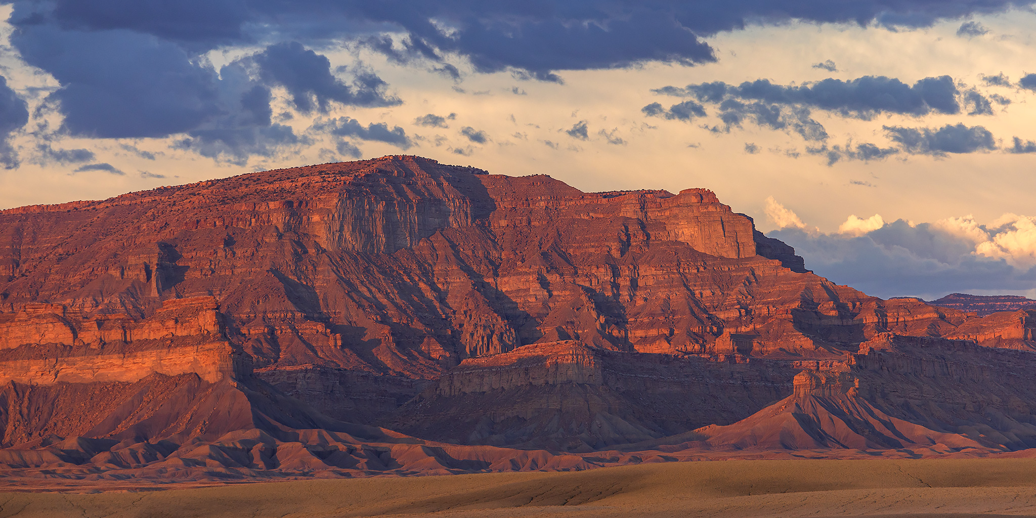
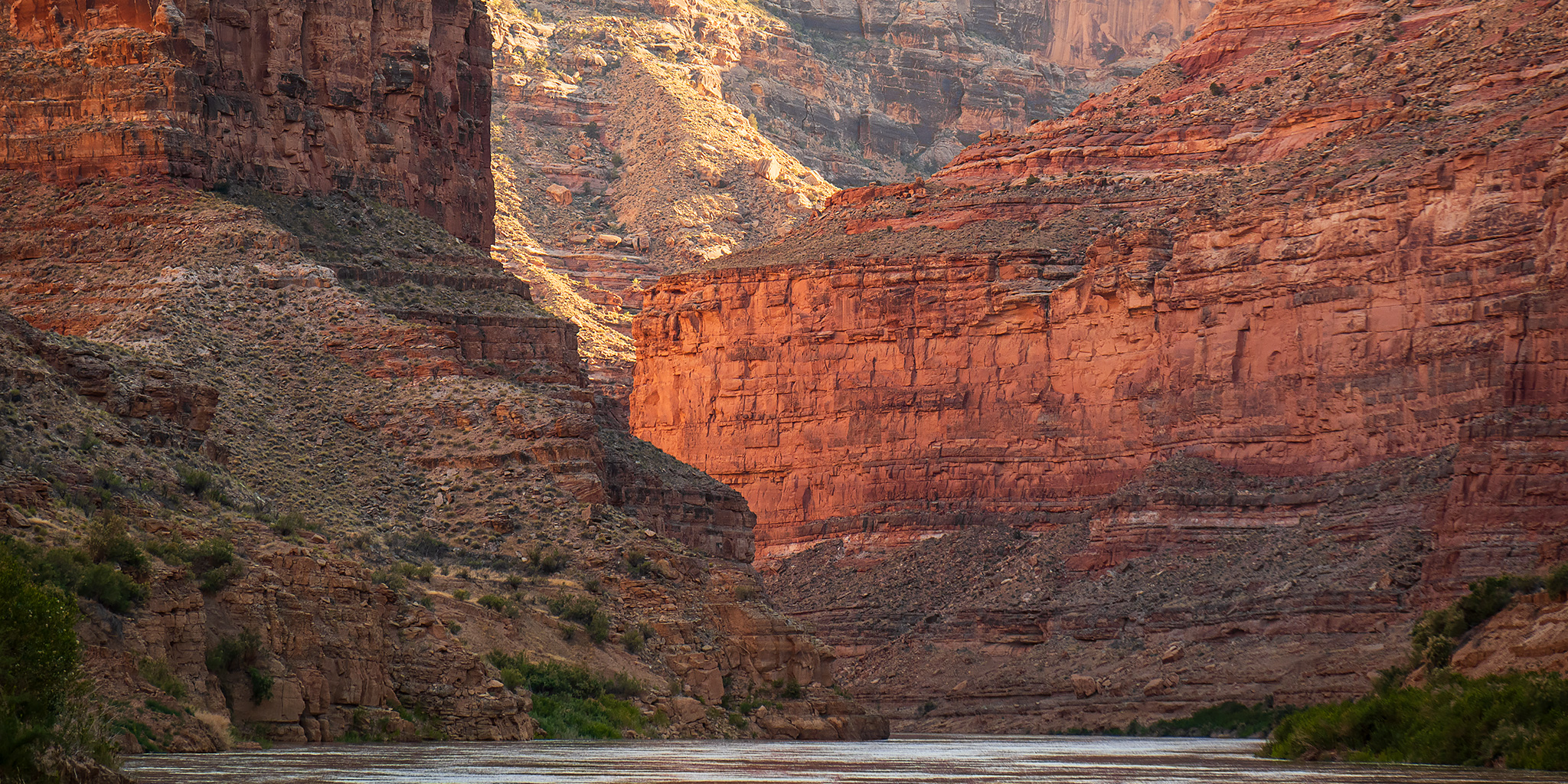
It’s now been almost an entire year since I started my quest to follow and explore the historic route of the 1859 Macomb Expedition, also known as the San Juan Exploring Expedition, which contained a small detachment of men who were quite possibly the first non-native Americans to view and describe what is now Canyonlands National Park. During that trip I followed the Old Spanish Trail across Dry Valley from Cañon Pintado (East Canyon) to Casa Colorado and then steadily climbed up Hatch Point until I was at the edge of the rim overlooking Cañon Colorado (Harts Draw) and the greater Canyonlands region. That point was roughly in the same area where Captain Macomb and his men would have had their first view of the region that would later become known as The Needles and where they would most likely have begun their descent to the canyons below in search of The Confluence of the Green and Grand Rivers. This weekend I set out to continue following their historic route as it descended from the rim of Hatch Point into Harts Draw and then I would continue downstream into Labyrinth Cañon (Indian Creek Canyon). Although I had hoped to follow the route segments in order, except that I had planned to start hiking from the bottom of Harts Draw up to the rim since I thought route-finding would be easier in that direction, but stormy weather on Saturday altered my plans a bit and I ended up hiking the segments out of order.

Leave a Comment

Hovenweep’s Centennial and the Great Sage Plain

Hovenweep National Monument & Canyons of the Ancients National Monument
Saturday – Monday, October 21-23, 2023

It feels like it’s been quite a while since the last time I visited and spent some quality time in Hovenweep National Monument and Canyons of the Ancients National Monument and I’ve been really meaning to get back down to that area for the past couple of years, but it just hadn’t seemed to happen yet as I keep putting it off for other trips. However, this year I made it a priority to get back with Diane so we could celebrate Hovenweep’s Centennial year since it was proclaimed a unit of the National Park System on March 2, 1923 by President Warren G. Harding. I also figured that this would be a great opportunity for Diane to visit the units of the park she had not been to before and I would be able to hike the few remaining trails in Hovenweep that I had not been on before and could finally cross this park off my ‘completed trails’ list. So early on Saturday morning Diane and I loaded up the Jeep and headed south along the Colorado – Utah state line to spend an extended three-day weekend exploring Hovenweep and other canyons of the Great Sage Plain!

Leave a Comment

Beyond the Clay Hills: The Annular Solar Eclipse

Watching the Great Western Ring of Fire Eclipse from Nokai Dome
Friday – Sunday, October 13-15, 2023

After spending an amazing Thursday on Chapin Mesa in Mesa Verde National Park and then briefly stopping to visit Yucca House National Monument early on Friday morning, it was time to drive across the Great Sage Plain into Utah and then head even further west until we crossed Beyond the Clay Hills where we found a great camping spot atop Nokai Dome, which would be a perfect place to sit and watch the Great Western Ring of Fire Eclipse on Saturday morning. I had specifically chosen this remote corner of the Red Rock Plateau to view the Annular Solar Eclipse because it’s kind of out-of-the way and I hoped that we would be able to find plenty of solitude. It’s also a part of the Colorado Plateau that I really haven’t spent much time at and I’m hoping to change that and get a little more familiar with this corner of San Juan County. I really don’t think I could have picked a much better spot to watch the eclipse from since we were very close to the centerline of its path and I’m pretty sure there wasn’t anyone else around for miles. I should also mention that the views in all directions from Nokai Dome were pretty spectacular!

5 Comments

Wind River Country and the Absaroka Range

Encircling the Wind River Range: Rock Art of the Wind River & Bighorn Basin
Tuesday – Sunday, August 15-20, 2023

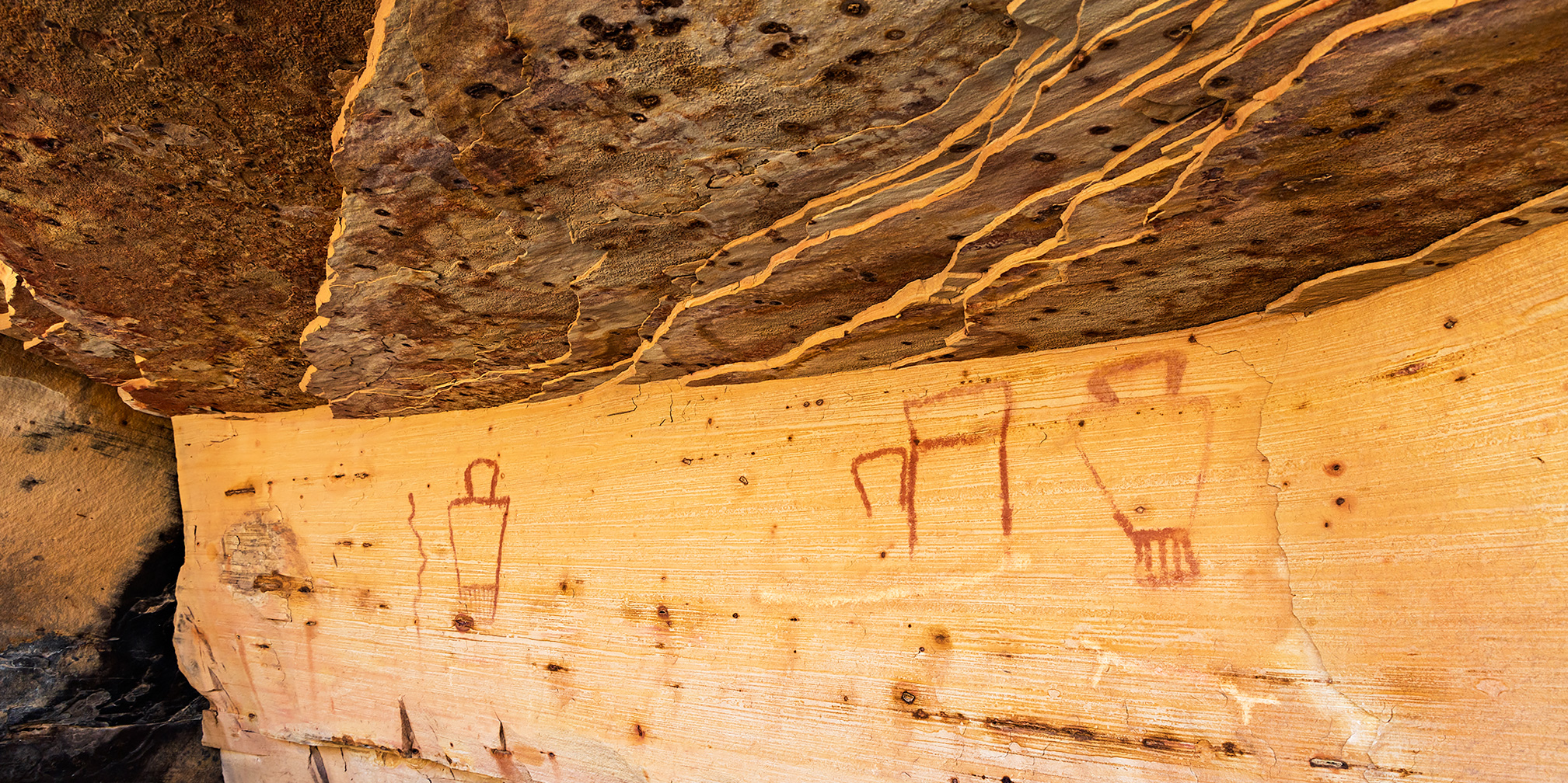
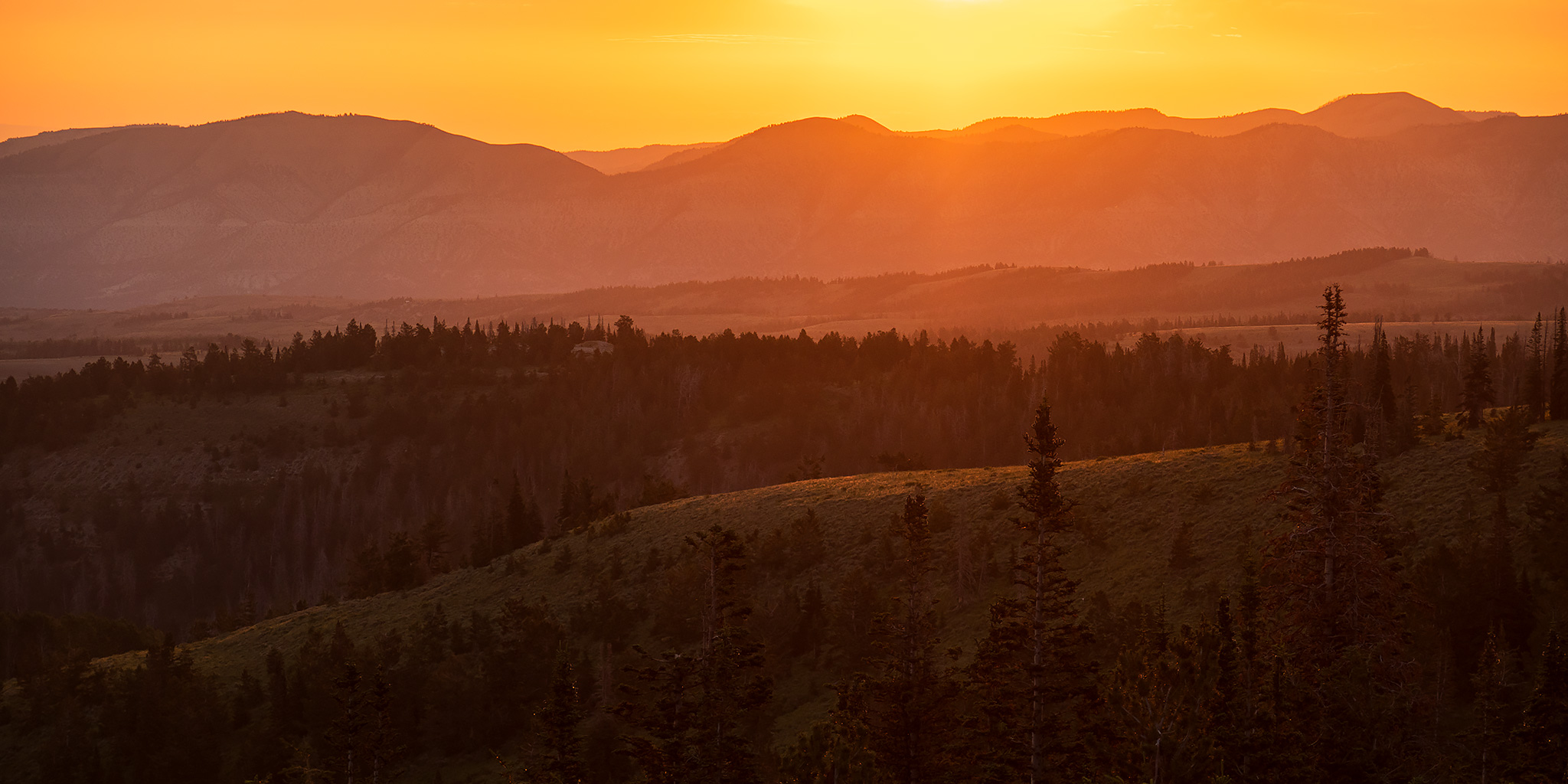
After spending the past three days on the Ruby – Horsethief section of the Colorado River it was time for our biennial return to the Wind River Range in Wyoming to begin. Ever since our first trip in 2017 to see the Great American Eclipse, we’ve made it our goal to try and return every other year, which so far we have been able to keep up. Although we have typically gone on a longer backpacking trip during each visit, this year I was more interested in visiting some rock art sites near the Wind River and in the Bighorn Basin that I’ve wanted to see for a long time. So with limited time preventing a longer backpacking trip, we instead looked into going on some shorter day hikes and even branched out into visiting the nearby Absaroka Range for the first time.

2 Comments

San Rafael River: Fuller Bottom to Lockhart Box

Friday – Sunday, June 2-4, 2023

This weekend Jared and I met up in the San Rafael Swell so we could float the San Rafael River with our packrafts while there was still enough water left this year. Although our last packrafting trip together on the Dirty Devil River may not have gone as well as we had hoped, Jared was looking forward to getting his packraft on a river that actually had enough water this time and I was looking forward to a return visit into the Little Grand Canyon! I left from work on Friday afternoon and made my way over to the Swinging Bridge at the mouth of Buckhorn Wash, where we planned to meet up. I arrived a couple hours before Jared was going to, so I drove a little ways down the Mexican Mountain Road and found us a campsite just as it started to rain.

2 Comments