Saturday & Sunday, January 4-5, 2025
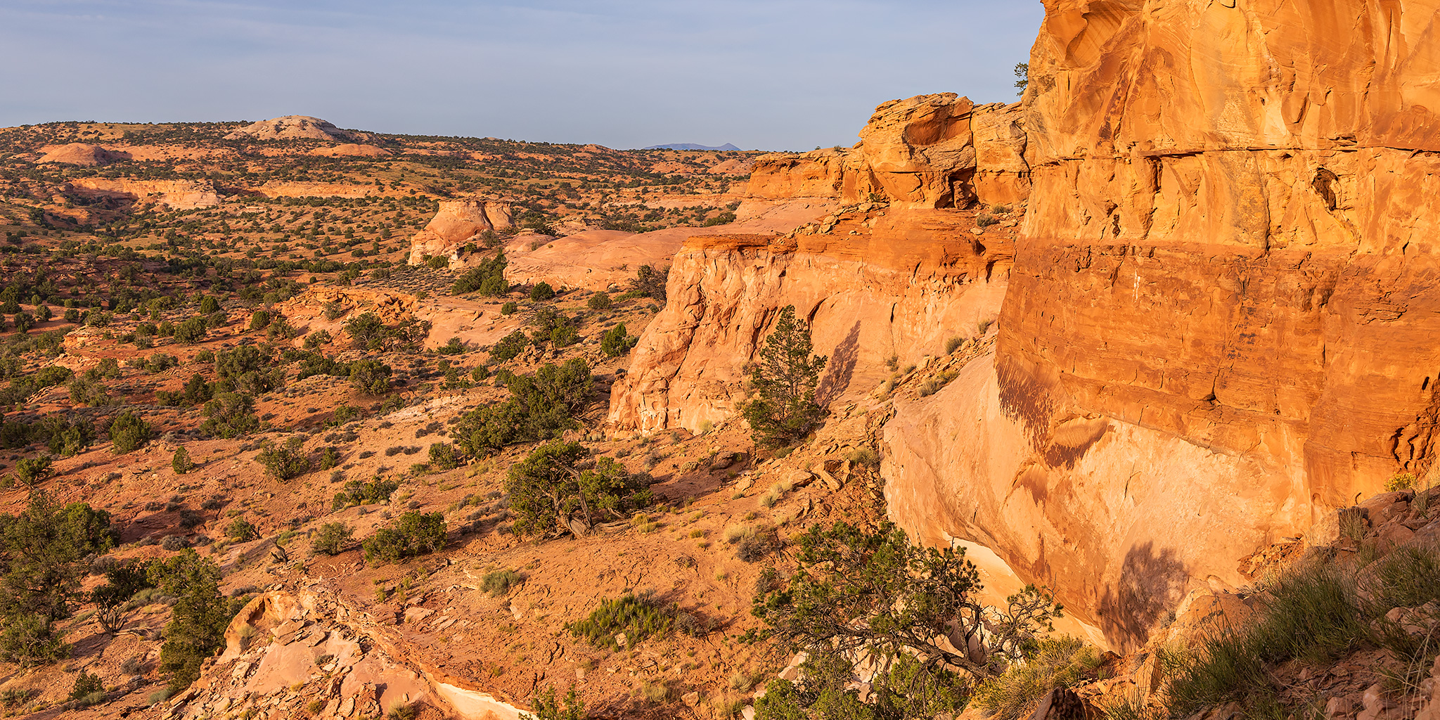
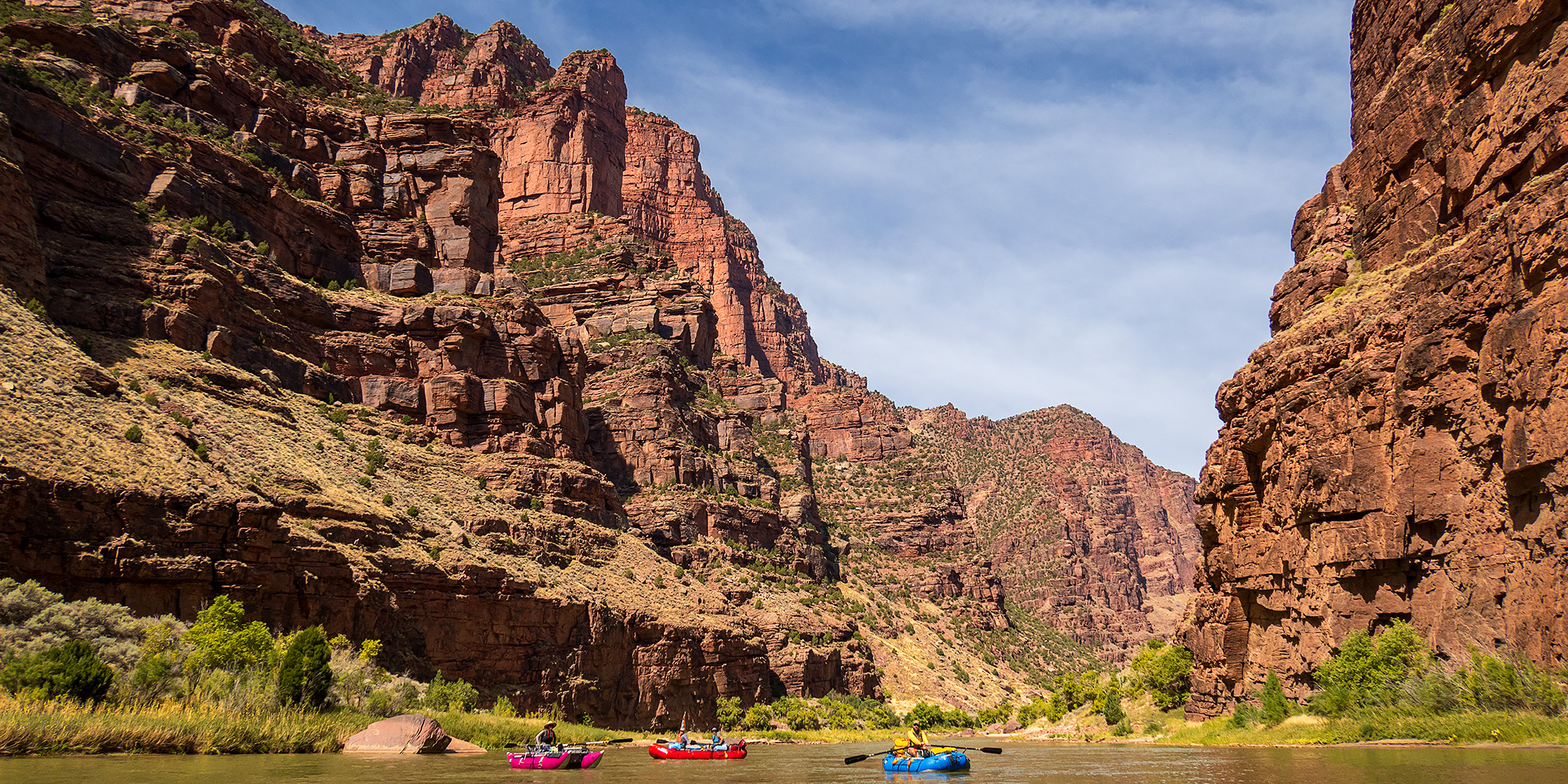
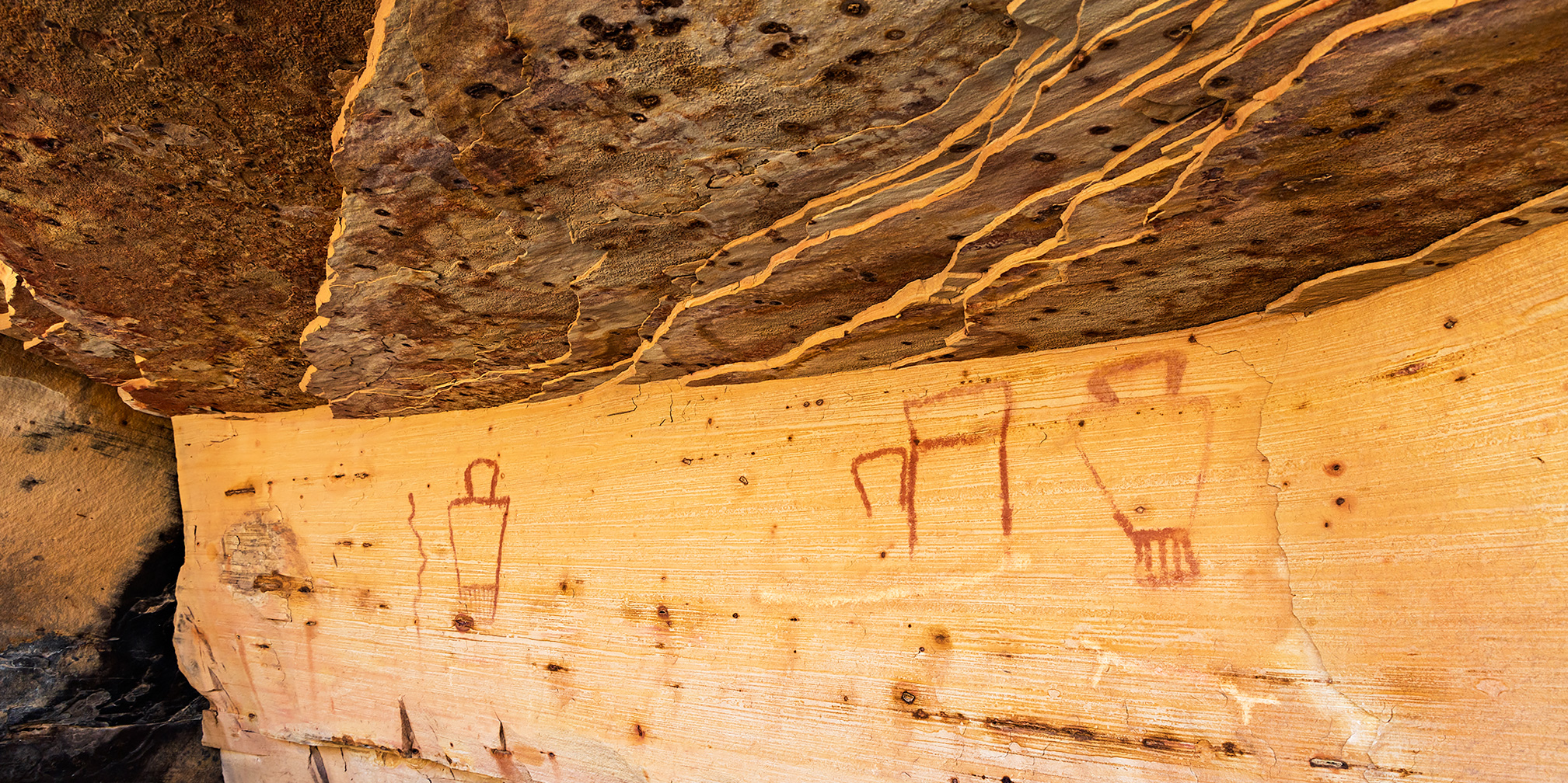
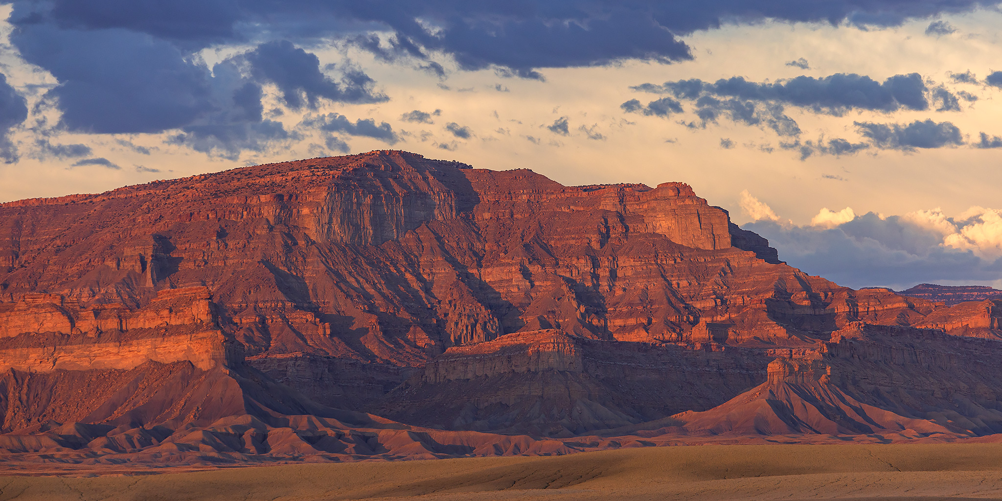
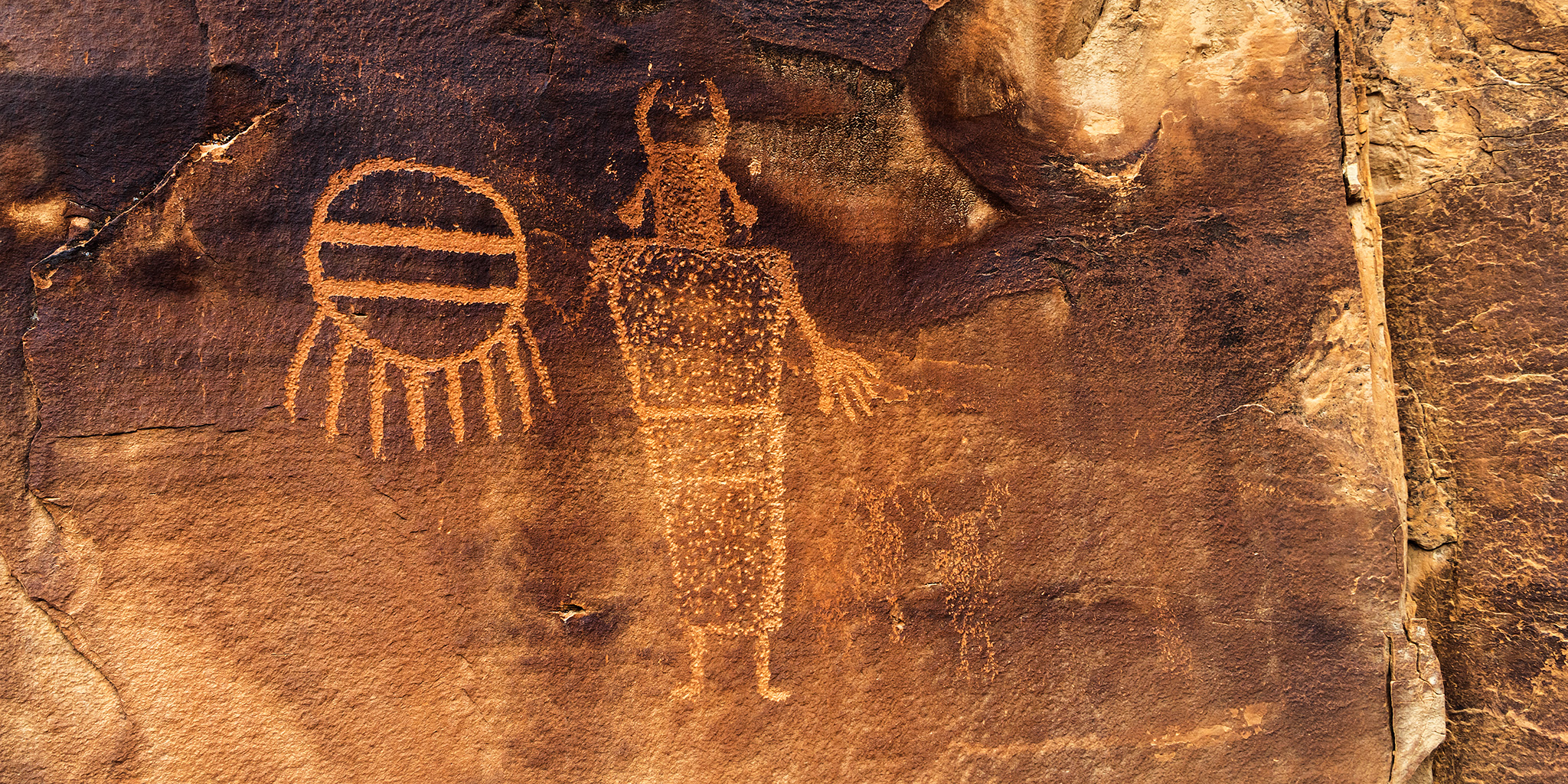
I wanted to start the year off right on the first weekend of 2025, so I met up with a friend on Saturday morning and we spent the rest of the weekend together hiking in canyons that carved through the Book Cliffs in search of petroglyphs and pictographs. We found a lot of new rock art along the way and even stopped to revisit a couple sites that I hadn’t been back to in almost fifteen years which were nice to see again. While Saturday was mostly overcast all day with a couple of short-lived snow showers in the late morning and Sunday was completely clear and sunny, the cool temperatures throughout the weekend were great for hiking in. Here are some photos of the rock art we saw this weekend.
1 Comment