Press "Enter" to skip to content

Tag: grand valley

Rough Canyon Petroglyphs

Sunday, February 5, 2017

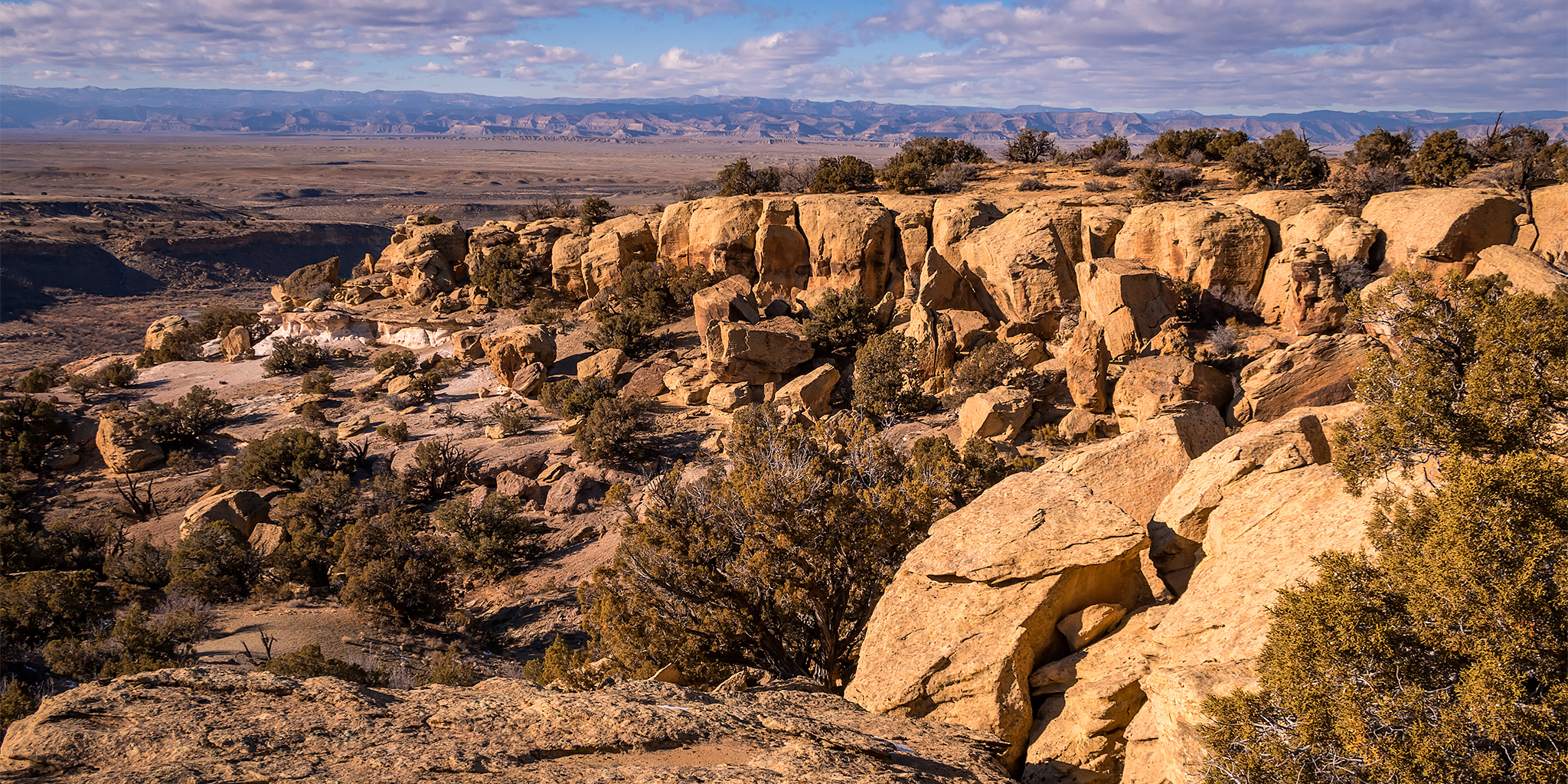
After spending all day Saturday near Moab with Marty I stayed home for much of the day on Sunday, but Diane and I did head out in the afternoon for a local hike into Rough Canyon. We had hoped to start hiking down the canyon from the Bangs Canyon Trailhead and go at least a few miles before turning around and returning the same way, but after about a mile we reached a section of the trail that was sketchy because of ice and decided to turn around there. Then we thought about going to the Mica Mine instead, but the trail was full of loud and obnoxious people, so we decided just to call it a day and head back home instead. Remind me never to come back here on a weekend…now I remember why it’s been a long time since I last visited this area! At least we got to visit a small petroglyph panel in the canyon while we were there.

3 Comments

Circling The Island

New Year’s Day | Sunday, January 1, 2017
Wedding Canyon Loop 2017

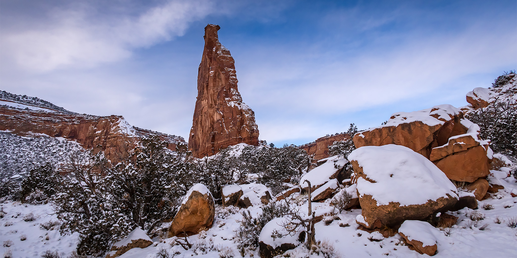
On New Year’s Day Diane and I were up before sunrise to go on our first hike of 2017 in the Colorado National Monument. As usual, we returned to the Wedding Canyon Loop which makes a complete loop around The Island. We went to bed early on New Year’s Eve so we would have no problems getting up for the hike, although we were awoken by fireworks at midnight, and made it to the Monument Canyon Trailhead just before sunrise. We typically hike this loop in a counter-clockwise direction because I prefer to climb the steeper trail in Wedding Canyon and then descend the more gradual trail in Monument Canyon. There was plenty of snow and ice on the trail in Wedding Canyon, but we never had to put on our microspikes this time. As we ascended Wedding Canyon we were treated to a very nice sunrise, but as soon as we reached Independence Monument at the middle of the loop more clouds moved in and blocked the sun for the remainder of the hike back down. We completed the five mile loop in just over two hours and were off the trail before the ground could thaw out and turn into mud.

Leave a Comment

Pollock Canyon

New Year’s Eve | Saturday, December 31, 2016

Diane and I headed out to the McInnis Canyons National Conservation Area early this morning for our final hike of 2016. We started our hike from the Rattlesnake Canyon Trailhead near Fruita and hiked up to the top of the Pollock Bench before dropping down a steep trail into Upper Pollock Canyon so we could visit Liberty Bell Arch (Pollock Arch). After checking out the arch from a few different vantage points we decided to continue down Pollock Canyon instead of returning the way had come to create a ten mile loop. While I had hiked all of this route on different trips before, it was all new for Diane.

Leave a Comment

North Soda Trail: Adobe Creek to PT 7412

North Soda Trail
Sunday, November 20, 2016

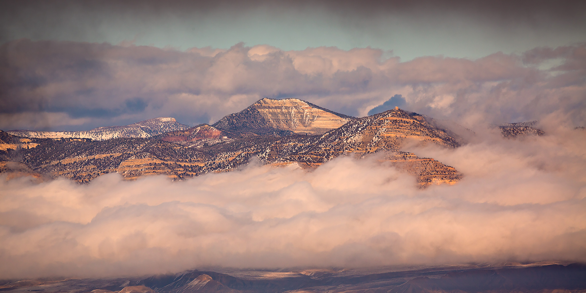
This afternoon I headed back into the Book Cliffs to hike to the summit of an unnamed peak above the Grand Valley. I’ve been trying to spend more time in the Book Cliffs this year (Mount Lincoln, Main Canyon, Tellerico Trail) and wanted to try and get back there one last time before the winter weather really sets in for the season. While the trail I hiked is most commonly referred to as the North Soda Trail (it eventually connects to the North Soda Road on top), I’m going to refer to it as the Adobe Creek Trail since it follows the creek for over a mile and then stays completely in the Adobe Creek drainage as it climbs to the top of the mesa.

Leave a Comment