Press "Enter" to skip to content

Tag: grand mesa

Ute Canyon to White Rocks

Colorado National Monument Traverse IV
Saturday, February 25, 2017

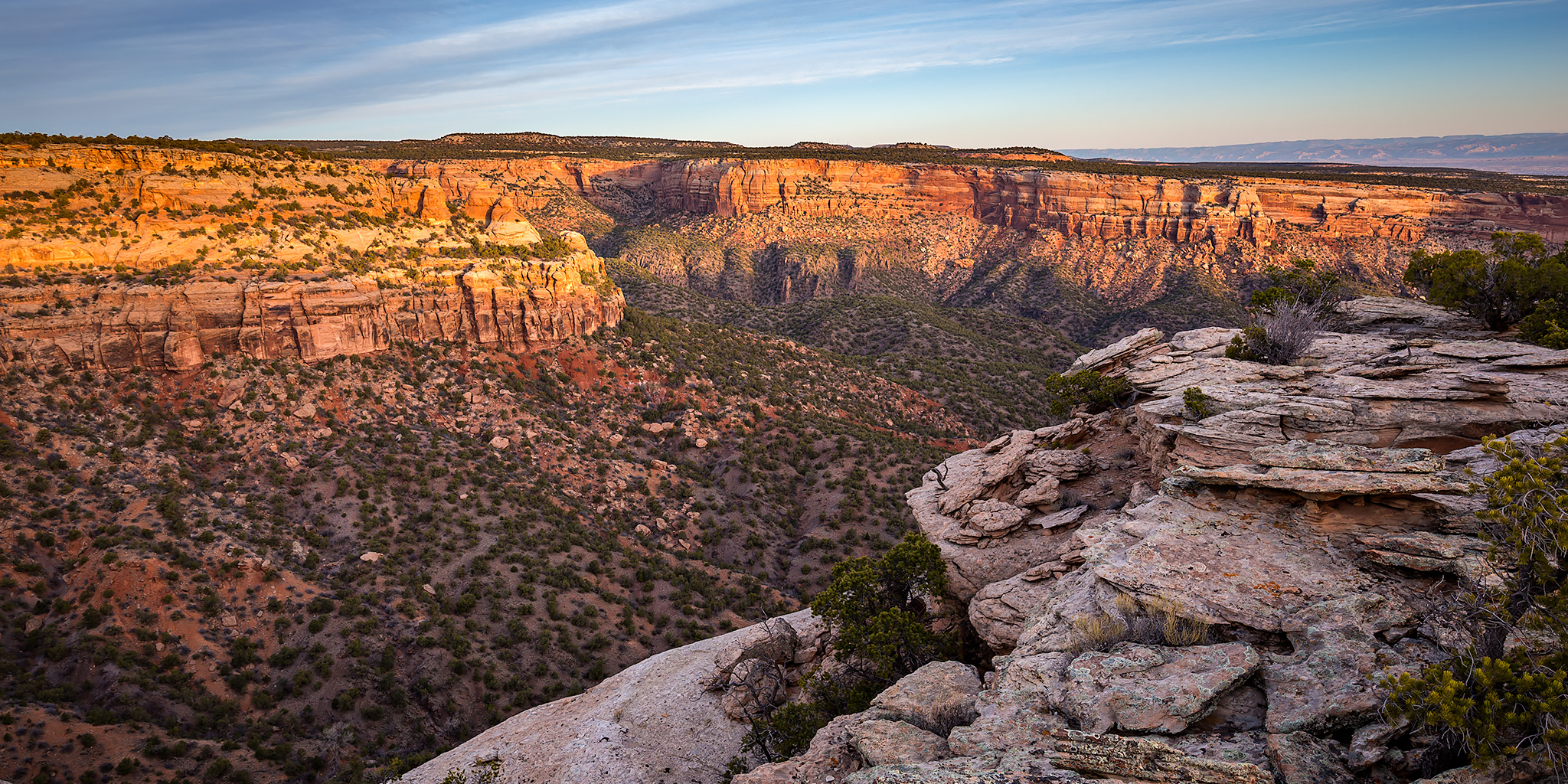
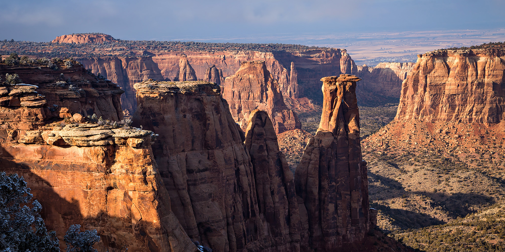
This year I decided to plan our annual Colorado National Monument Traverse hike a little earlier than usual since our upcoming wedding and honeymoon are going to be taking over much of the month of March, and I wasn’t sure if we’d have time to fit it into our busy schedule later this spring. I also wanted to keep the hike a little shorter than usual since it would only be a day hike and we would be going to a concert in the evening.

2 Comments

Pollock Canyon

New Year’s Eve | Saturday, December 31, 2016

Diane and I headed out to the McInnis Canyons National Conservation Area early this morning for our final hike of 2016. We started our hike from the Rattlesnake Canyon Trailhead near Fruita and hiked up to the top of the Pollock Bench before dropping down a steep trail into Upper Pollock Canyon so we could visit Liberty Bell Arch (Pollock Arch). After checking out the arch from a few different vantage points we decided to continue down Pollock Canyon instead of returning the way had come to create a ten mile loop. While I had hiked all of this route on different trips before, it was all new for Diane.

Leave a Comment

North Soda Trail: Adobe Creek to PT 7412

North Soda Trail
Sunday, November 20, 2016

This afternoon I headed back into the Book Cliffs to hike to the summit of an unnamed peak above the Grand Valley. I’ve been trying to spend more time in the Book Cliffs this year (Mount Lincoln, Main Canyon, Tellerico Trail) and wanted to try and get back there one last time before the winter weather really sets in for the season. While the trail I hiked is most commonly referred to as the North Soda Trail (it eventually connects to the North Soda Road on top), I’m going to refer to it as the Adobe Creek Trail since it follows the creek for over a mile and then stays completely in the Adobe Creek drainage as it climbs to the top of the mesa.

Leave a Comment

Colorado National Monument Photos

Thursday, September 22, 2016

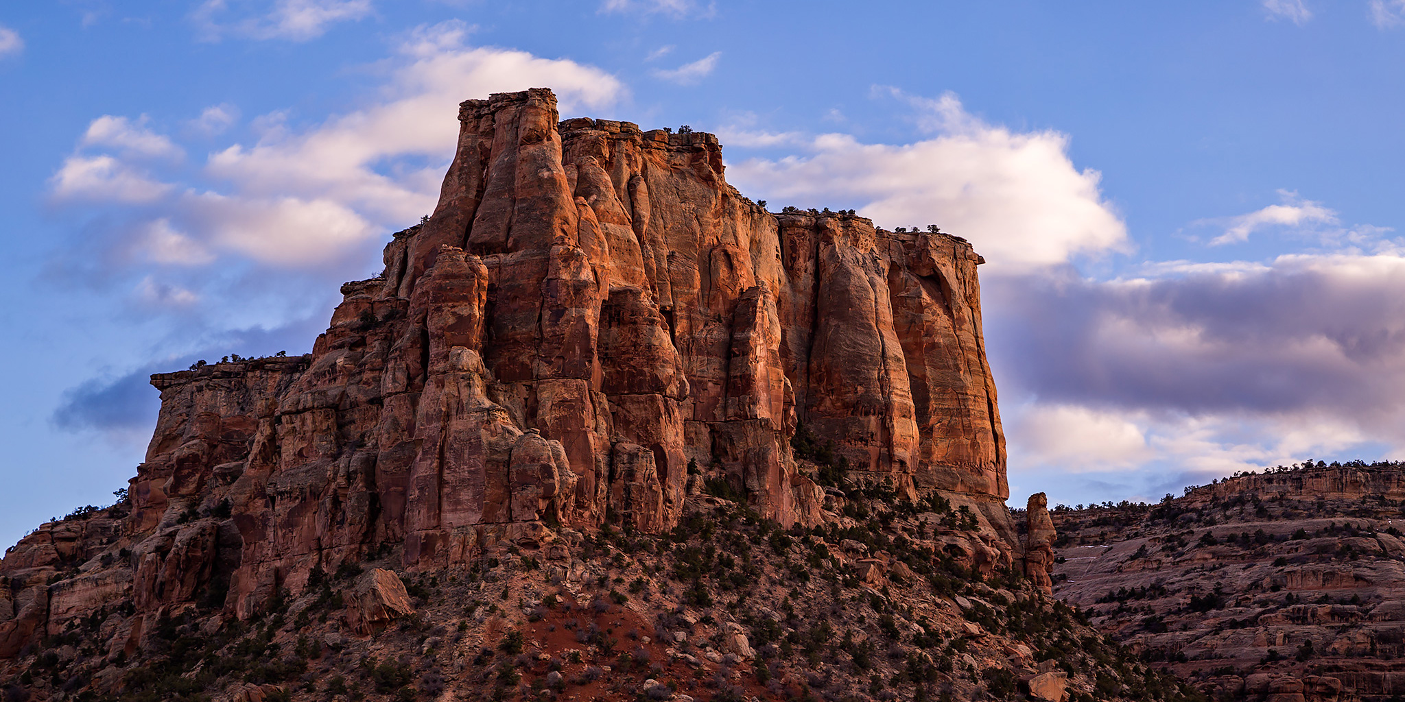
After work I grabbed my hiking gear and started heading out to Rabbit Valley so I could hike to another summit in Mesa County, but as I was driving west on I-70 I noticed the sky was much cloudier and darker out that direction and I was concerned about the weather I would encounter. It appeared that the edge of the storm system moving through the area was over Fruita and Grand Junction and it looked like I’d have better luck closer to town this evening. So when I reached the Fruita exit I decided to get off and head up into the Colorado National Monument instead. The clouds and sky were nice for a few photos during my drive through the western portion of the park, plus I still got a little hiking and exploring in. Here’s a few photos from the evening.

Leave a Comment

Grand Mesa Fall Colors

Fall Colors | Wednesday, September 21, 2016

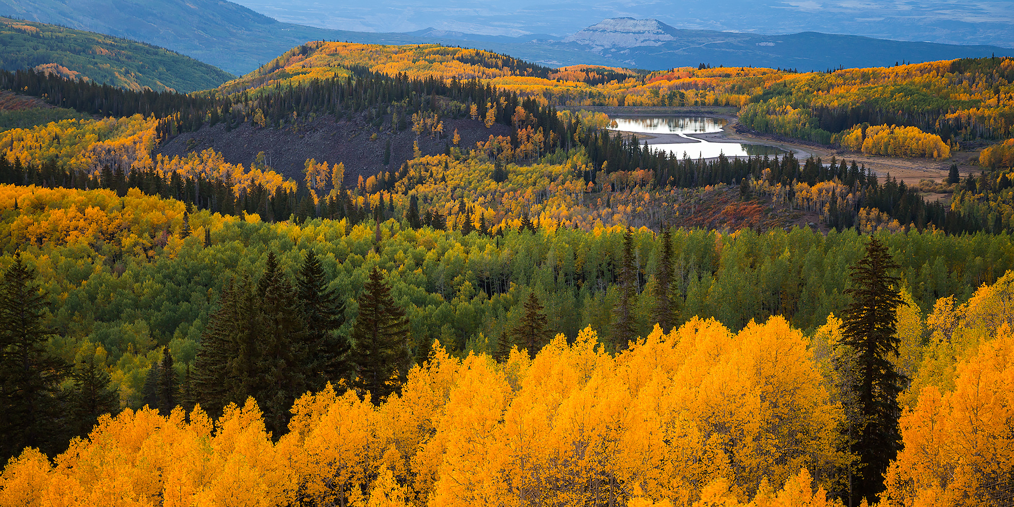
I made a last minute decision after work today and went for a drive up onto the Grand Mesa to check on the fall colors this evening. It turned out to be a good call since the colors were looking pretty good. I slowly made my way up the Grand Mesa Scenic Byway to Skyway Point and then explored the old Grand Mesa Road and a few other backroads in the area while I was up there until after sunset. There’s not really much else to say about this short evening excursion, so here’s a few photos that tell the story for me.

Leave a Comment