Saturday, March 25, 2017

Hiking through the beautiful backcountry of Arches National Park out near Eagle Park.
After spending the previous two weeks exploring the deserts of the southwest on our Honeymoon Adventure, it was time to get back to exploring places a little closer to home since I needed a little break from driving long distances. I wanted to go somewhere new to me and needed to get some decent hiking mileage in. It had been a while since I had done a longer hike and I was planning a very long one for the following weekend and I needed to make sure I would be up for it!
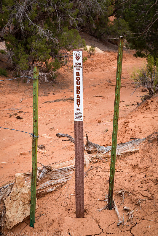
After some thought I set my sights on Eagle Park in Arches National Park. This obscure section of Arches has actually been on my radar for quite a while, but I had always wanted to do an overnight backpacking trip into this area. However, now that Arches has stopped issuing backpacking permits in the Park, I figured I might as well give it a try as a day hike. I started hiking from a little-used Jeep road at the northernmost boundary of Arches National Park and made my way southeast through Eagle Park and into the northern section of Devils Garden where I visited Far Out Arch, so named because it is the most significant arch in the Park that is farthest from any road or trail. With a lot of exploring on my way out and back the total mileage of the hike was around twelve miles. This hike certainly gave me a great introduction to the area and I plan to return in the future from a different direction.
Driving into Salt Valley just north of Arches National Park.
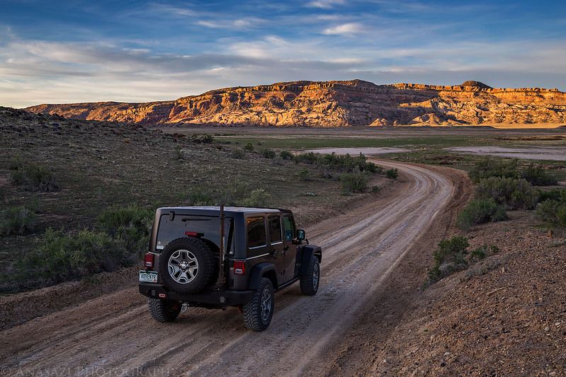
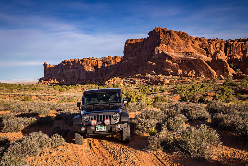
I followed a little-used sandy road to the boundary of the park where I started hiking.
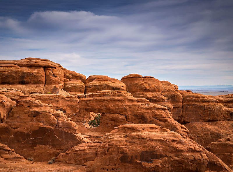
There was plenty of beautiful sandstone scenery along the way.

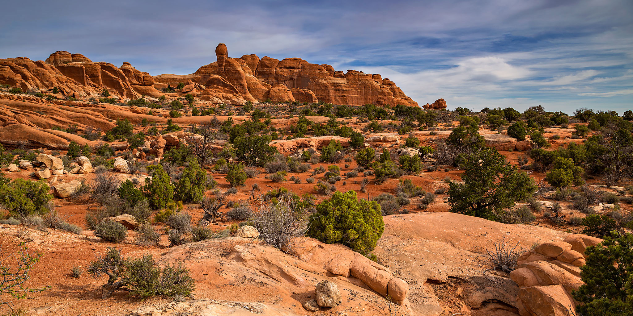
After a few miles I finally reached the heart of Eagle Park.

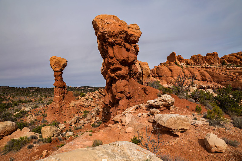
A closer look at one of the towers in Eagle Park.

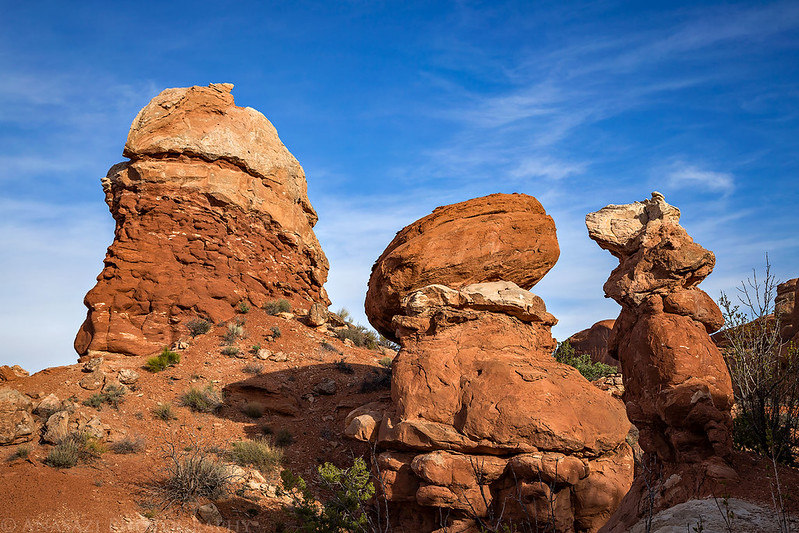
I continued hiking to North Devils Garden and stumbled across this hoodoo along the way.

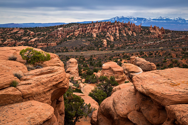
Eventually I came to the edge of a wide and shallow canyon that offered me a great view over Devils Garden and the La Sal Mountains.

If you look closely at this photo, you can make out an arch I spotted near the rim of the canyon. I haven’t been able to find a name for this one yet…
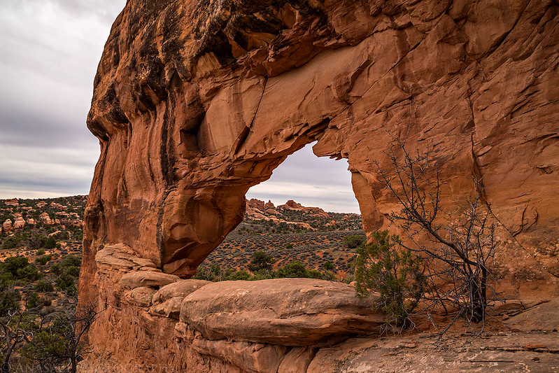
My hike ended at the spectacular Far Out Arch. By this time the clouds had overtaken the sky as a storm system was approaching and I wouldn’t see any sunlight again.
On the way into the canyon I had gone around to it’s head and found an easy way in, but on the way back out I scrambled up through some steep fins to find a way out. This was a view near the top.

One last look over Devils Garden before hiking back to my Jeep.
As usual, I had kept an eye out for rock art throughout my hike and had not seen a thing, except for a few inscriptions from the 1920’s and 1930’s. That’s why I was very surprised to find a large piece of corrugated pottery in a short sandstone slot canyon. This is not the kind of find I expect to find in Arches National Park.
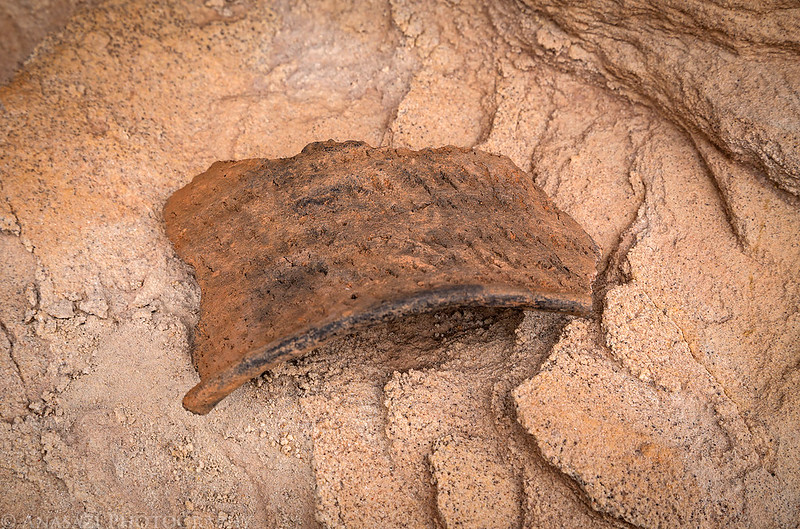
Here it is in my hand so you can get a sense of it’s size.

Leaving Arches National Park behind as I exited the boundary of the park.
Driving back out I stopped for a quick photo of the Naked Lady Boulder near the Sunshine Wall, a popular location with rock climbers.

I returned to the interstate and had an easy drive back home with a quick stop in Fruita for dinner. It felt great to be exploring back on the Colorado Plateau again!
Shield Arch is the aches that you have missing a name.
Thanks for the info Chris!
Just discovered your site. I remember when there was an old jeep road through Eagle Park a few decades ago. I drove it a couple of times before the park service closed it and also recently hiked along the old route. Nature is slowly reclaiming it. It’s a beautiful and remote area.
I was out there just a few days ago. Unfortunately, some dimwit(s) shot and hacked the face off the Naked Lady. I don’t understand why anyone would think this is acceptable.
Boo. That sucks.