Sunday, March 26, 2017
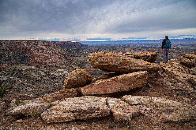
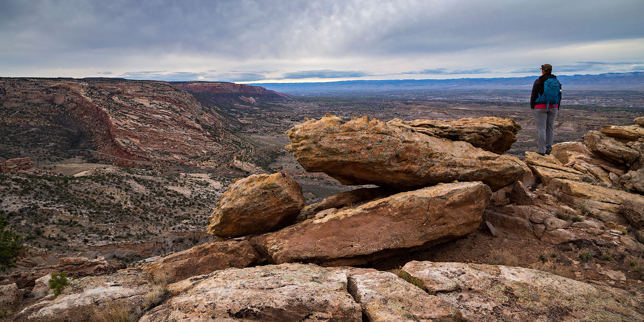
Diane overlooks the Colorado National Monument from Point 5750 on a cloudy evening.
After spending Saturday hiking in the backcountry of Arches National Park we spent most of Sunday at home getting stuff done around the house and resting after a couple of busy weeks. Throughout the day I noticed that the clouds in the sky were looking pretty nice so we decided to go out for a short evening hike for sunset. I figured we could visit Point 5750 which is a high point in Mesa County located just outside of the Colorado National Monument that I have wanted to visit for a while. It’s easy to access this high point since it’s just a short distance off of the Eagle’s Wing Trail, one of the many Tabeguache (Lunch Loop) trails in the area.
Unfortunately, as we were driving to the trailhead the nice clouds that had been floating through the sky all day began to disappear and by the time we started hiking it was almost completely overcast out. So much for a nice sunset… While hiking up the trail I noticed that there were a lot of little gnats out. They were annoying at times, but didn’t seem to be biting.
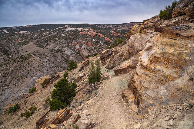
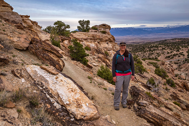
Following the Eagle’s Wing Trail to the high point.
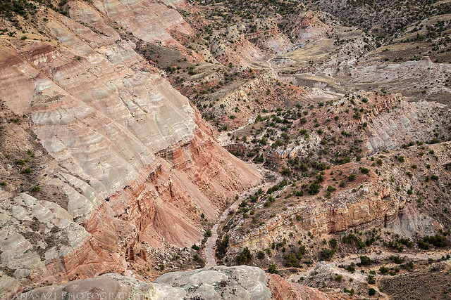
There was a great view over the Serpent’s Trail and the Colorado National Monument from here.
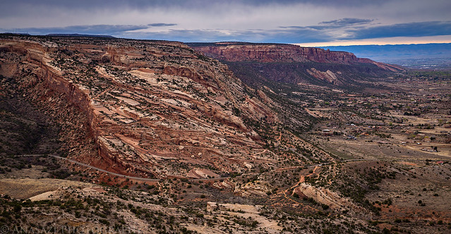
A colorful landscape below.
Diane along the trail on our way back.
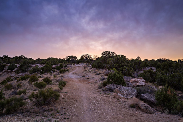
The clouds in the sky began to light up a little as we were hiking down the Lunch Line Trail.
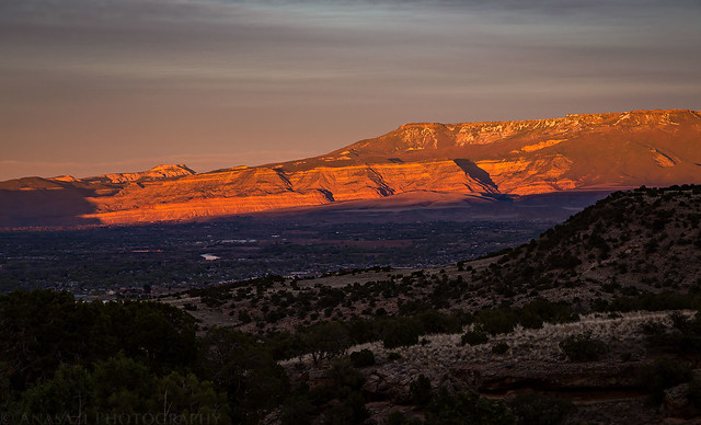
Mount Garfield and the Little Book Cliffs put on a spectacular show across the valley.

The Grand Mesa and Chalk Mountain were looking pretty good, too.
Grand Junction was still looking nice when we reached Little Park Road.