Holy Cross Wilderness | Friday & Saturday, August 16-17, 2024
Aside from my weekend visit to the Red Table Mountain late last summer, I haven’t spent much time exploring the area at the very northern end of the Sawatch Range, so I decided to stick around after the GIS Colorado Summer Meetup to hike a couple of trails on the west side of the Holy Cross Wilderness, hoping they would be a little less popular than those found on the east side. After the GIS presentations at Sylvan Lake were completed early on Friday afternoon, I drove over Hardscrabble Mountain into Eagle for fuel and snacks and then headed up East Brush Creek and the Hat Creek Road to the Peter Estin Hut, which is one of the popular 10th Mountain Division Huts. From the parking area near the hut I hiked over to the Ironedge Trail and followed it to the ridgeline that makes up the boundary of the Holy Cross Wilderness and then continued up to the Charles Benchmark.
Following the Ironedge Trail up towards the ridge.
I rock-hopped up to the ridge for a view into the East Brush Creek drainage.
There was a nice view over to Avalanche Peak from the ridge.
Ironedge Ridge View
Overlooking the East Brush Creek drainage.
It wasn’t long until I reached the summit at the Charles Benchmark.
Broken Benchmark: Charles, 1964
Next I continued down the other side of the peak so I could visit Prospect Peak, which was about 200 feet below.
Prospect Peak looked a little higher when I made it down to the low point of the saddle.
Looking back to Charles Peak.
Although the actual summit of Prospect Peak was in the trees, as soon as I walked a little further west the views opened up.
Here’s a view from the edge a couple steps away from the summit.
After visiting both peaks I returned to the Ironedge Trail and hiked back down to my Jeep. I finished the drive around to Crooked Creek Pass and then drove back down to Sylvan Lake for dinner at camp.
On Saturday morning I got up early and drove back up to the Fulford Cave Trailhead so I could start hiking up the Lake Charles Trail before sunrise. Surprisingly, the parking area was already almost full when I arrived around 5:30am. I guess I was flying a little too close to the sun, uh, I mean Front Range, this weekend.
Although the trail was stuck in the trees with limited views until I reached Lake Charles, there was one or two opening where I could look up at Charles Peak.
Creek Reflection
The views finally started to get good when I reached Lake Charles.
I continued on past Lake Charles so I could visit Mystic Island Lake next.
Wildflowers & Peaks
The trail was a bit more wet and muddy after Lake Charles, but I quickly reached the shore of Mystic Island Lake.
Fools Peak
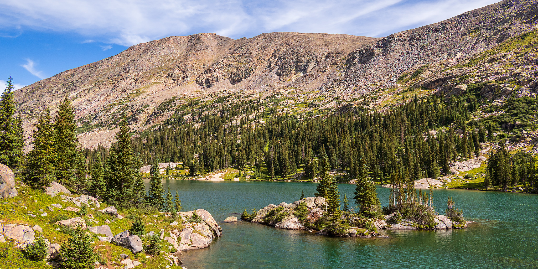
The scenery was spectacular as I walked along the shore of the lake.
Mystic Island Lake & Fools Peak
Mystic Island Lake
The Mystic Island
After enjoying the views and some snacks near the lake, I started hiking back down the way I had come.
Mystic Tarn
The clouds were looking much nicer during my hike back between the two lakes.
Mystic Island Lake Trail
I stopped one more time to rest and enjoy the views at Lake Charles before I headed back into the trees for the remainder of the hike.
Leaving the Holy Cross Wilderness
After returning to my Jeep I drove up the road a couple more miles to check out the little town of Fulford and then I returned to Eagle for a late lunch. I was originally planning to stick around for a short hike on Sunday morning, but the weather forecast wasn’t looking good and I had a concert to attend on Sunday evening, so I decided to call it a weekend and head home early. Besides, I have some busy weekends coming up and could use a day of rest at home.


