Press "Enter" to skip to content

Tag: brush creek

The Dominguez-Escalante Expedition: 250 Years Later

Pageant in the Wilderness: Following in the Footsteps of Friars Dominguez & Escalante
Saturday – Monday, September 19-21, 2026  (August 27 – September 17, 1776)

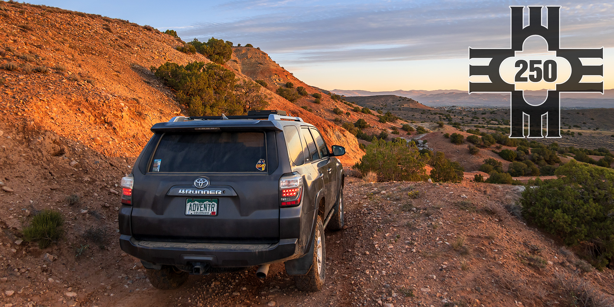
This year marks the 250th anniversary of the 1776 Dominguez-Escalante Expedition through the southwest and I wanted to do a little something special to celebrate the semiquincentennial of this monumental undertaking in my own little way. Although I would have liked to have been able to follow in the footsteps of Dominguez & Escalante (D&E) for the entirety of their route through New Mexico, Colorado, Utah and Arizona, I just don’t have that kind of free time available to me right now and decided it would be nice to just concentrate on the section of their route that is closest to my home. I planned to pick up their route at the Uncompahgre River in Montrose and then follow in their footsteps as closely as I could over the Grand Mesa and Roan Plateau to the White River, and then finally to the Green River in the Uinta Basin in Utah. I figured that I should be able to cover this part of their route in a weekend, but still, even with this shorter route a weekend would probably be too short for me to see it all and I would be limited on the amount of hiking I would be able to do along the way, sticking mostly to roads that roughly follow their original route.

4 Comments
East Brush Creek: Ironedge Trail & Mystic Island Lake

Holy Cross Wilderness | Friday & Saturday, August 16-17, 2024

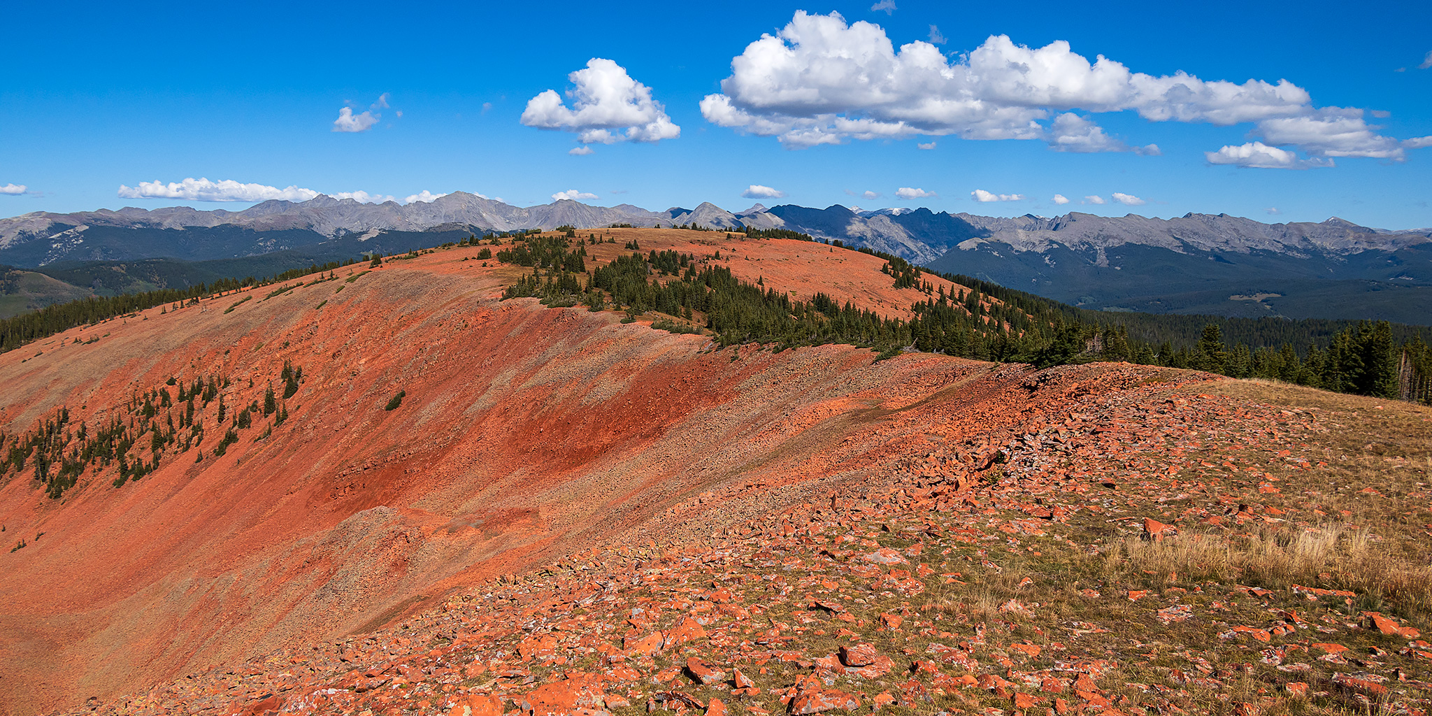
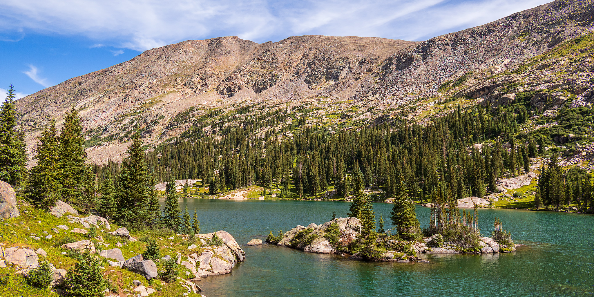
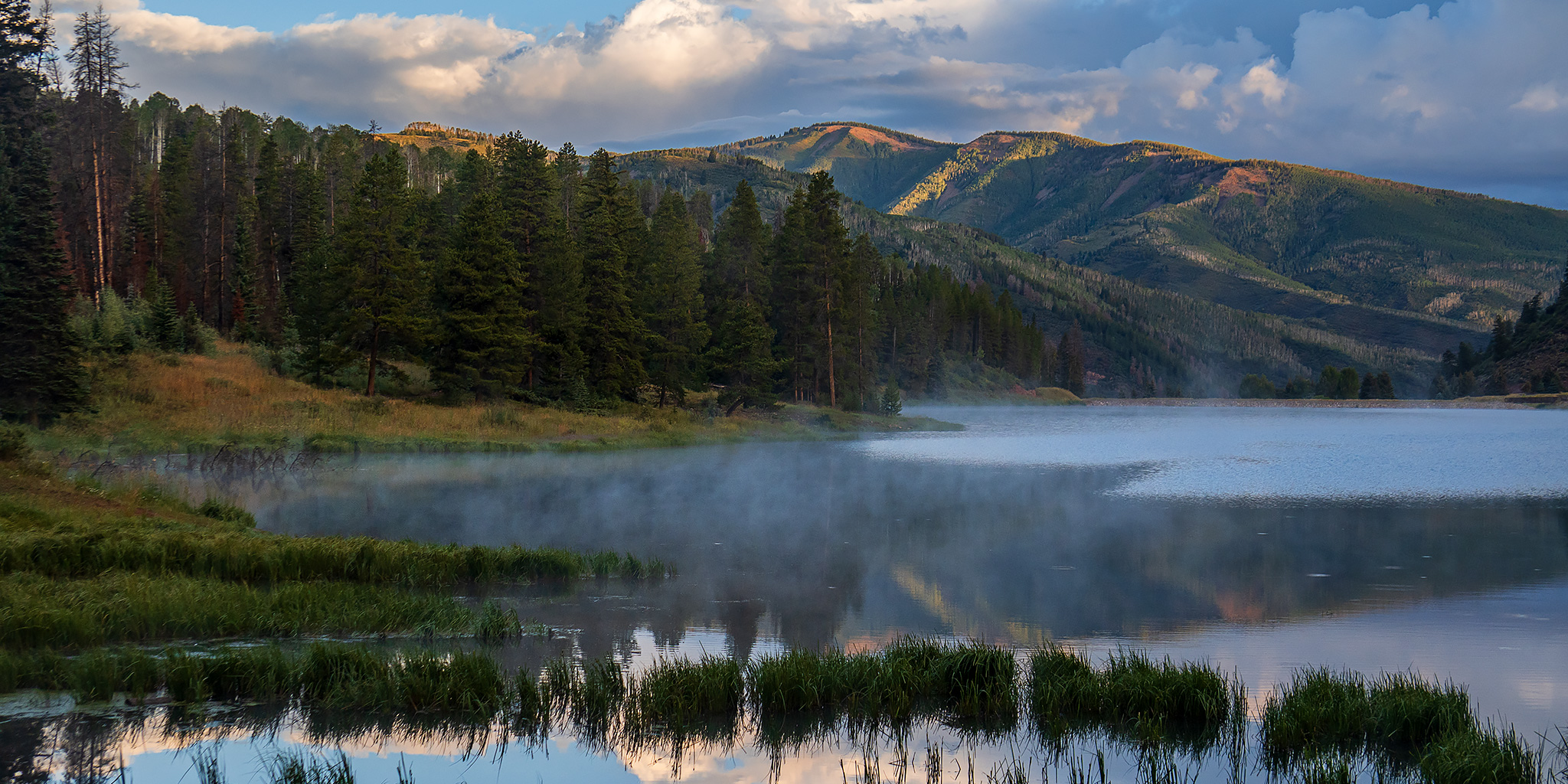
Aside from my weekend visit to the Red Table Mountain late last summer, I haven’t spent much time exploring the area at the very northern end of the Sawatch Range, so I decided to stick around after the GIS Colorado Summer Meetup to hike a couple of trails on the west side of the Holy Cross Wilderness, hoping they would be a little less popular than those found on the east side. After the GIS presentations at Sylvan Lake were completed early on Friday afternoon, I drove over Hardscrabble Mountain into Eagle for fuel and snacks and then headed up East Brush Creek and the Hat Creek Road to the Peter Estin Hut, which is one of the popular 10th Mountain Division Huts. From the parking area near the hut I hiked over to the Ironedge Trail and followed it to the ridgeline that makes up the boundary of the Holy Cross Wilderness and then continued up to the Charles Benchmark.

Leave a Comment

Sylvan Lake: Hardscrabble Mountain to Fulford Cave

Wednesday – Friday, August 14-16, 2024

This week I left after work on Wednesday afternoon and headed east on I-70 towards Eagle so I could spend Thursday and Friday attending the annual GIS Colorado Summer Meetup, which was being held at the Sylvan Lake State Park campground this year. I exited from the interstate at Gypsum and followed the road along Gypsum Creek around Hardscrabble Mountain below the edge of the Red Table Mountain as I hoped to take the backroads to Sylvan Lake, but when I was only a few miles away I ran into wet roads that were slick with mud and had to turn back and go around the long way through Eagle. I haven’t had good luck with the slick muddy roads in this area in the past, so I didn’t want to take any chances! Here are some photos from a few days spent at the Elk Run Campground next to Sylvan Lake.

Leave a Comment

Red Table Mountain: Crooked Creek to Mount Thomas

Around the Red Table: Crooked Creek Pass & Cottonwood Pass
Friday – Sunday, September 15-17, 2023

This weekend I headed out to the very northern end of the Sawatch Range so I could drive around and explore Red Table Mountain, which is located just west of the Holy Cross Wilderness between Gypsum, Eagle and Thomasville. I left from work on Friday afternoon, stopped in Rifle for gas and a bite to eat, and then continued on through the Roaring Fork Valley to Basalt where I turned off and followed the Fryingpan River to Lime Creek. Although I had driven through a couple heavy rain storms along the way, I found the beginning of the Crooked Creek Pass Road to be in good condition when wet, but that quickly changed as I drove higher and found some very slick conditions. After sliding off the road into the ditch twice, and thankfully not off the other side of the road, I found a small level spot to pull over and spend the night at. I had had enough of the slick and slippery road and felt it was too sketchy to continue driving up to the pass or turning around and heading down, so I was hoping that the road would dry out a bit overnight.

1 Comment

Fossil Ridge Wilderness: Lamphier Lake

Gunsight Pass Peaks: Broncho Mountain & Square Top Mountain
Friday – Sunday, July 16-18, 2021

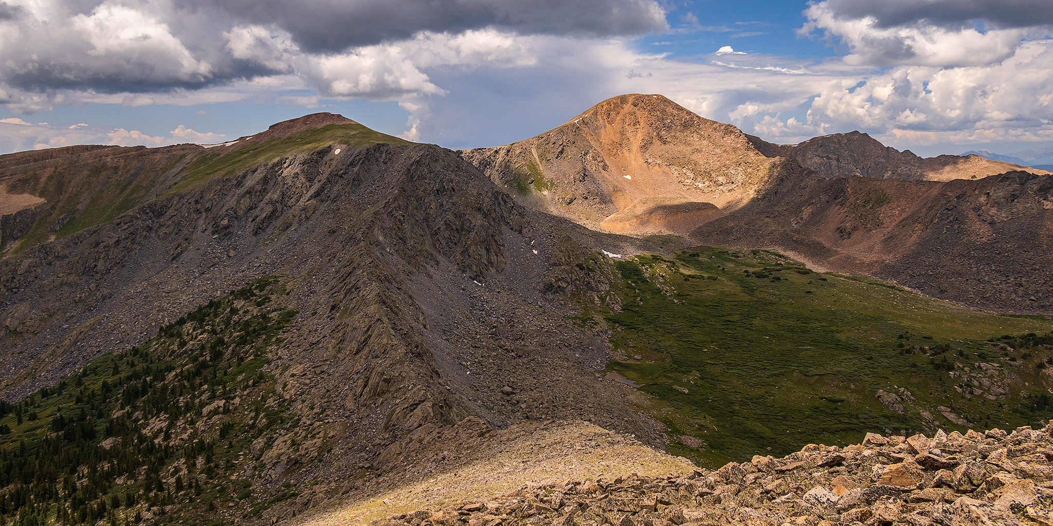
Last year when Diane and I were hiking to the Highest Fire Lookout in North America, located on the summit of Fairview Peak in the Sawatch Range, I consistently found myself glancing across the Gold Creek Valley to Fossil Ridge and immediately knew that I would need to come back in 2021 to start exploring that area. After poring over maps of the Fossil Creek Wilderness it looked like the short trail to Lamphier Lake and Gunsight Pass would be a good place for me to start with, so that’s where I decided to go this weekend. As an added bonus, there are a couple of 12ers surrounding the cirque that contains Lamphier Lake, so I knew I would have plenty of options to keep me busy. With Diane being busy in school this year, it’s been a little while since I went on my last backpacking trip, so I thought this hike would be the perfect opportunity for me to go on my first solo overnight backpacking trip since I climbed Humboldt Peak in 2016, and I was really looking forward to it!

1 Comment