Sunday, May 28, 2023 | Average CFS: 29,670
After spending Saturday on the Dolores River, Jackson and I were looking for something short and local to do on Sunday morning since we were planning to leave later in the afternoon and head over to the San Rafael Swell so we could float The Chute of Muddy Creek on Monday. We eventually settled on floating a shorter stretch of the Colorado River in the Grand Valley from the Blue Heron Boat Ramp in Grand Junction to Loma since this is the only section of the river between Palisade and the Utah state line that I had not been on before and I thought this would probably be a good time to finally check it out. We were both up early on Sunday morning, met up at the Loma boat ramp to drop off Jackson’s car, and then returned to the Blue Heron ramp and were on the river before 8:30am.
Our inflatable kayaks at the Blue Heron Boat Ramp ready to go. This ramp was just recently rebuilt by the City of Grand Junction, although most of it was underwater at this time.
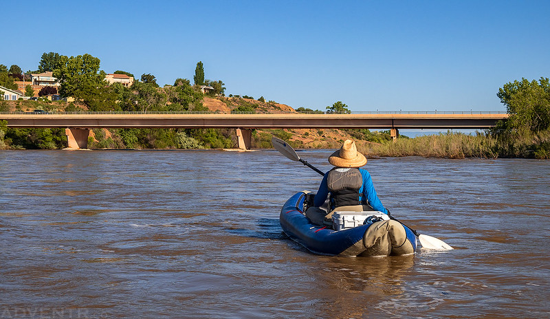
After leaving the ramp we floated under the Redlands Parkway bridge on our way toward Fruita.
Although the water was all flat, it was moving pretty quickly at this level.
I just love being out on the river early in the morning, even if it’s just in town!
Danger Ahead
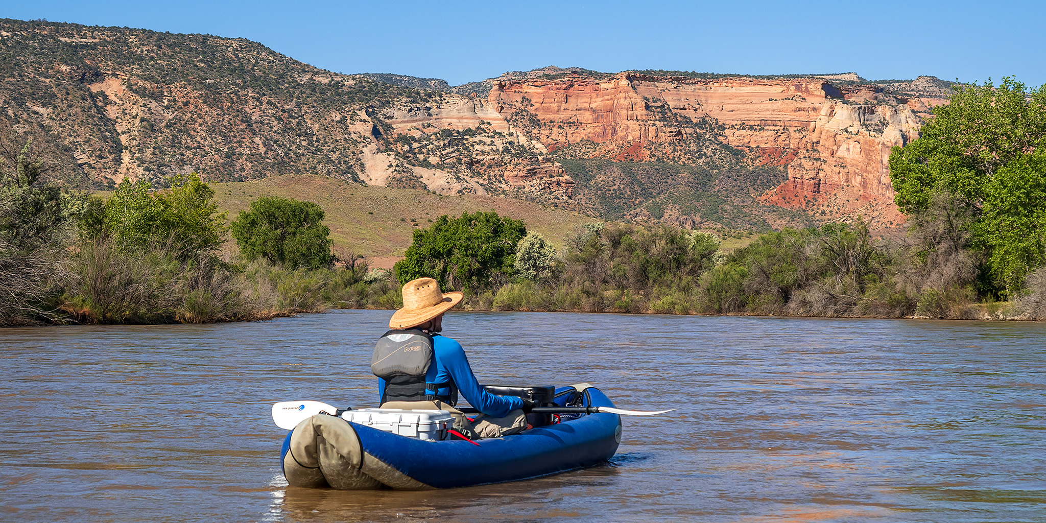
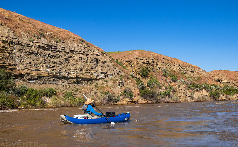
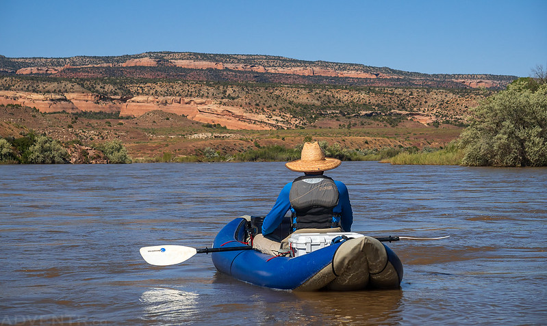
Occasionally we had nice views to the canyons of the Colorado National Monument to the west.
Monumental Views
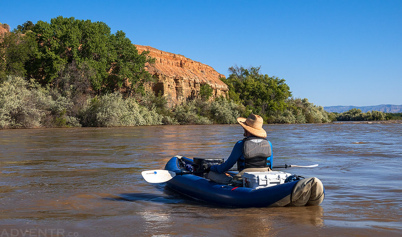
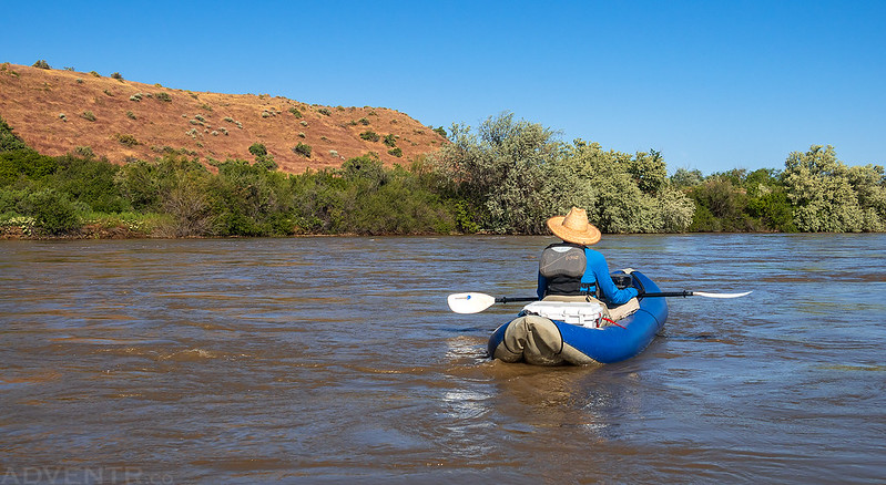
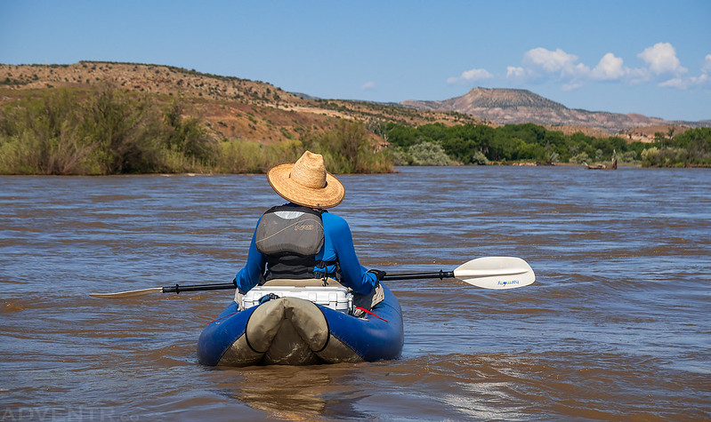
Floating between Grand Junction and Fruita.
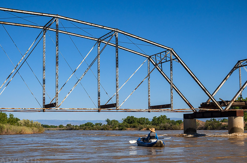
We passed beneath the Old Fruita Bridge.
Colorado Canyons View
Just before reaching the takeout at Loma, we paddled closer to the flooded Riverfront Trail where it crosses under I-70 and found a surprise visitor on the railing.






I found your blog because I’m looking for river conditions between Grand Junction and Loma. I have sea kayaked, duckied and rafted 870 miles of the Colorado river, between Loma and the Mexican border. Yes I’m missing some sections in there, mostly in Lake Powell. I would like to float from Glenwood Springs to Loma. What I need to know specifically is what rapids are there below Glenwood Springs that would necessitate me using my white water ducky, instead of my preferred sea kayak? I’m willing to use the ducky if necessary. (If you have never used a sea kayak, just know that most people would not want to take it on anything over and easy Class I.) I am most likely to do this in the fall, not during spring runoff. I’ve had bad experiences in the past with strainers during the spring runoff. Any ifo you have, (or anyone you can refer me to with information), or the name of a guide book, etc., would be helpful. All the guide books I have seen totally skipped the section between Glenwood Springs and Loma. Thanks very much!
Although I would like to also float the sections of the Colorado between Glenwood and Palisade, I have not looked into it too thoroughly yet. My understanding is that most of it is easy class 1, but I have no firsthand experience (aside from flying by on I70 all the time) and am unaware of any guides that cover this section.
Thank you, that’s more or less what I’ve heard so far.
The area around Glenwood is used by fly fishing guides and their boats are out there often. Maybe reach out to some of the FF outfitters? Also there’s a new campground at DeBeque that may have more info. https://www.postindependent.com/news/newly-approved-boat-in-campground-at-de-beque-hopes-to-make-rafting-the-colorado-river-more-accessible/
There are some classII rapids between GWS through Parachute, then it mellows out to a basic float to Debeque….I have not floated the Debeque Canyon, but driving along it is super mellow float. After that I am not sure…from reading theres a couple class II rapids…. there is the dam in the Canyon that you would need to navigate as well, which I am not sure how they do that, not surre if its s short portage or if that have a bypass.