Saturday, February 18, 2023
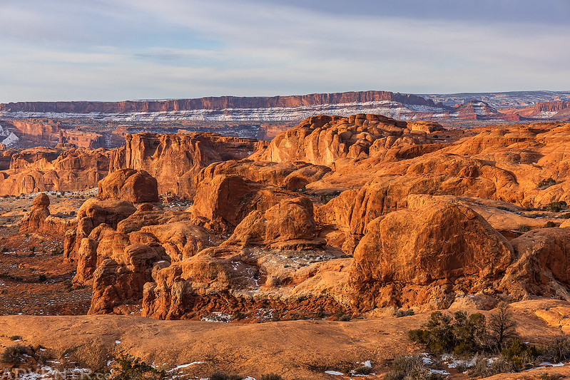
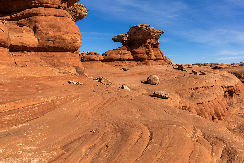
I was originally planning to spend all three days this holiday weekend in the Bears Ears region, but a winter storm had come through earlier in the week that dropped some snow in the area, so I figured I had better postpone that trip for a little while since the roads would probably be a melting muddy mess. Although we got a fair bit of snow in Grand Junction from the same storm, it looked like Moab was mostly spared from new snow, so on Saturday morning I decided to head that direction for one last day trip this winter before things really start to get busy down there. I went to Arches National Park so I could finally do a hike that I’ve been thinking about for many years, which would be to hike across The Great Wall. I’ve driven below The Great Wall may times over the years and thought it was finally time to hike across the top of it for a closer look!
I left home early on Saturday morning and made it into Arches just as the sun was coming up for the day. It was a bit overcast this morning, so there wasn’t much of a sunrise, but I still stopped for a couple photos as I made my way to the northern end of The Great Wall to begin the hike.
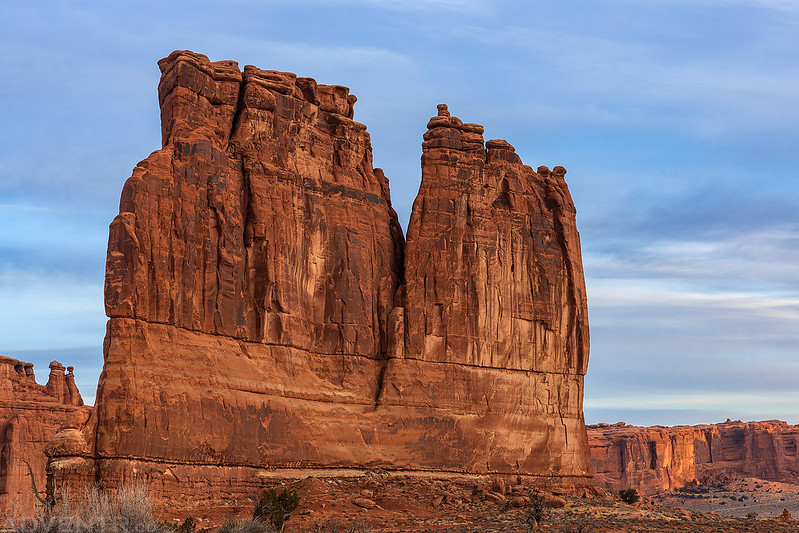
The Organ
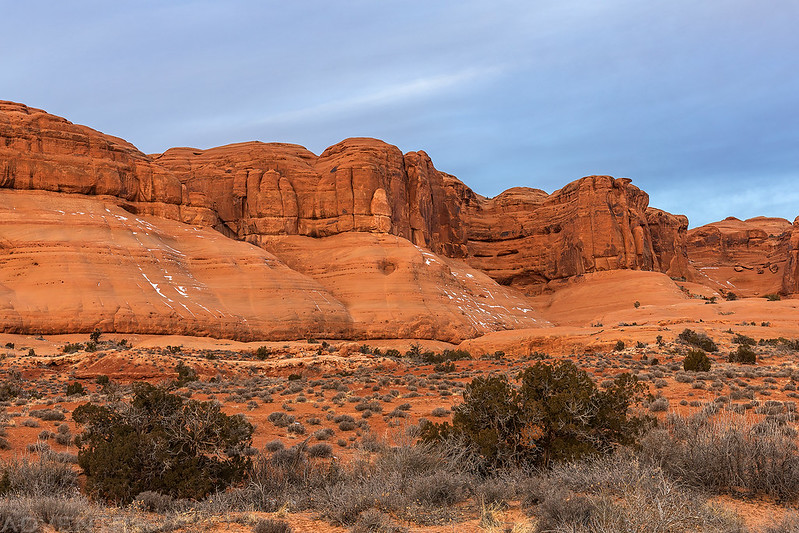
Driving below The Great Wall

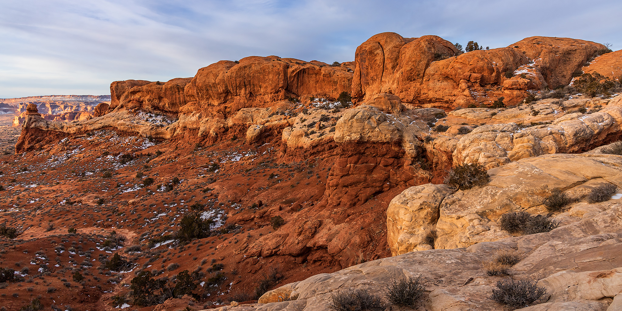
The Great Wall

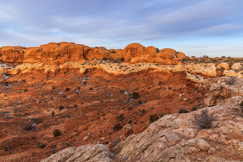
Rock Pinnacle

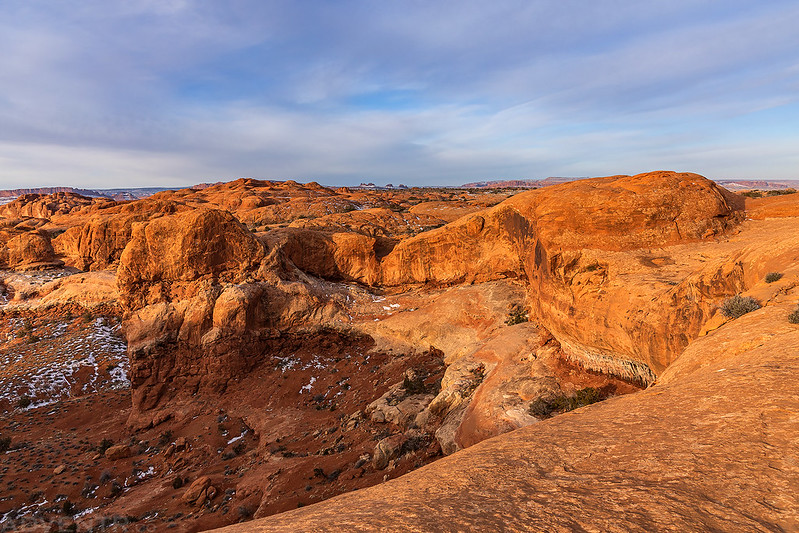
As soon I started hiking to the top of The Great Wall the sun finally started to come out a little.
The views were nice as I made my way to the top of The Great Wall.

Rock Pinnacles View

At first I tried to stay as close to the rim as I could, but that didn’t last long because there are a lot of deep canyons that bisect the sandstone ridge, so I did the best I could.

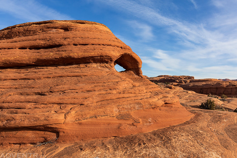
Birds Eye Arch
I hiked south a couple of miles until I reached the rim of Courthouse Wash. Look closely and you might be able to spot Ring Arch in the photo below.

I continued out to the end of a peninsula of sandstone that juts out into Courthouse Wash.
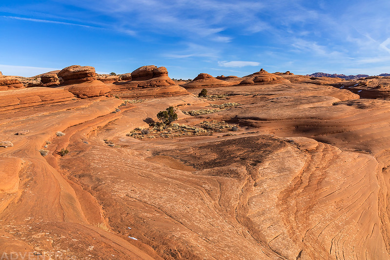

Peninsula Point

Here’s a view from the end of the peninsula overlooking Courthouse Wash with Gold Bar Rim and Arth’s Rim on the horizon.

I stopped to rest and eat a snack at the point and then I turned around and started heading back. I tried to take a more direct route back, but I’m not sure it really saved me much time and energy…
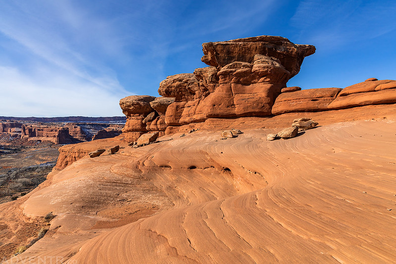
From the top of The Great Wall there were good views to the northeast of Elephant Butte and The Windows throughout the hike.

Making my way back toward Balanced Rock.

Barbed Arch

Question. So on a hike like this (or the drive below), how do you identify the specific features that you are naming in photos? Is there a specific hiking or mapping app that you use? We use Google Maps, Hiking Project, Alltrails, park maps, and none of them in my experience name as many features as you do.
I reference a lot of different sources.
A number of older guidebooks have some of the commonly-used local names, especially for the Moab area (guidebooks by Fran Barnes, for instance), plus the maps by Latitude 40 have some names that are not found on Topo maps. Kelsey books have some names of features. As far as arches go, this database (which requires a paid subscription to access) has most of them: https://arches.stonecanyonadventures.com/