Saturday & Sunday, March 4-5, 2023
This weekend Diane and I headed down to the Trachyte Creek area just north of Mount Holmes and the Little Rockies to go on an easy overnight backpacking trip into Swett Canyon. This is now the fourth year in a row that I have explored the tributaries of Trachyte Creek in early March, and it’s an area that I have enjoyed getting to know a little more intimately over these past couple of years. Since I did not get to do as much backpacking last year as I would have liked, I am hoping to change that this year starting with this hike- and I’ve already got plans for plenty more!
We left home on Saturday morning shortly after sunrise, made a quick stop in Hanksville to top off the gas tank, and then made our way to the spot where Star Creek crosses under the highway. We found a place to park, made sure we had everything we needed, and then descended to the bottom of the canyon. Our plan was to hike down the canyon as far as we could go, since I knew there would be at least one obstacle that would stop us near the end of the narrows, and then return the same way. I had hoped for some nice light in the narrows, but the sky was overcast almost all day and it was a bit windy out, too. Thankfully, the temperature was pretty mild in the upper 40’s, but it felt colder when the wind was blowing!
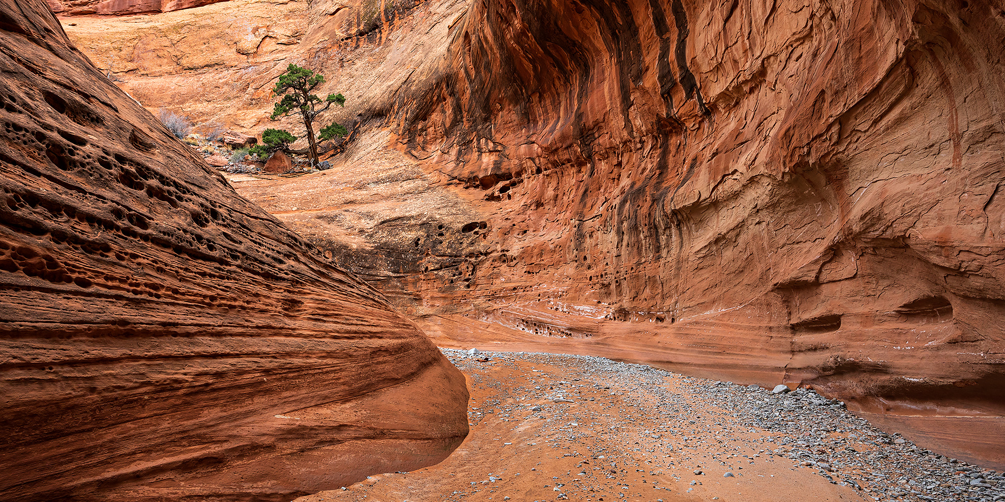
After descending from the highway into Star Creek we started hiking down the shallow canyon.


When we reached the confluence with Milk Creek I walked upstream a little ways until I reached a boulder obstacle in the way. I probably could have got up and around it, but it would have required getting wet.

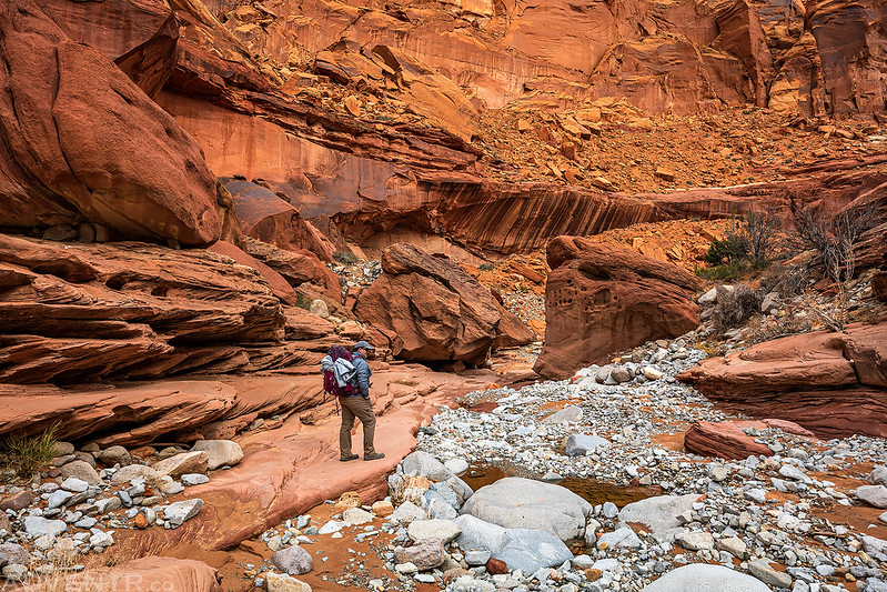
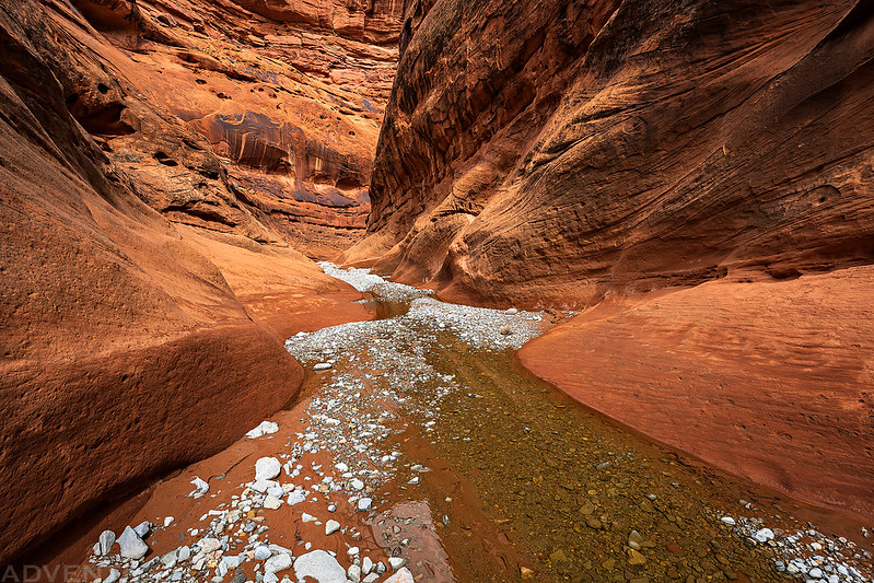
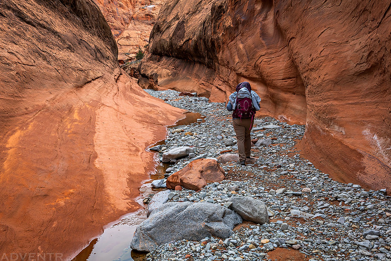
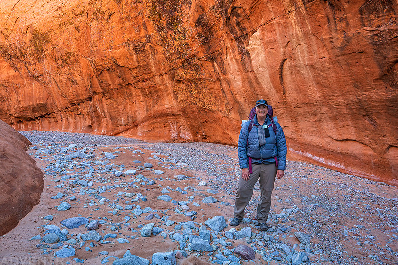
Diane hiking deeper into Swett Canyon.
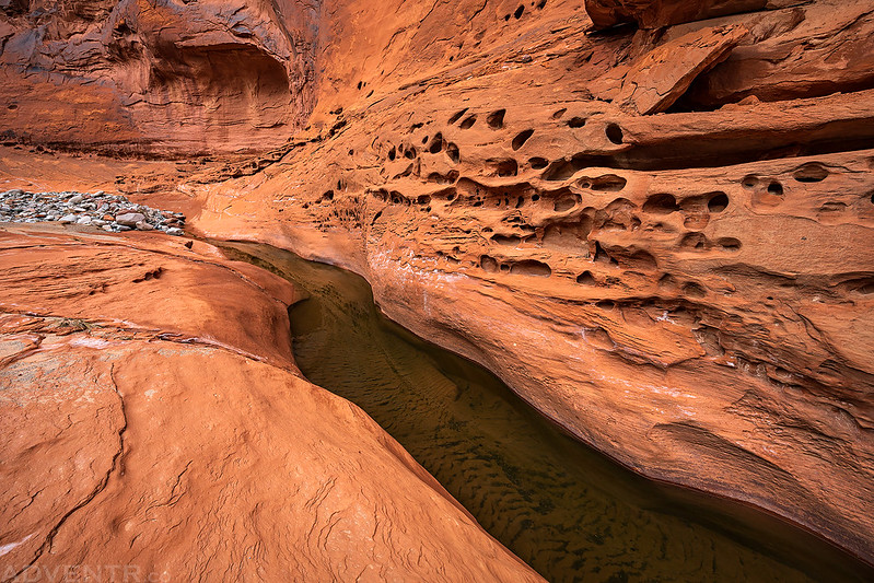
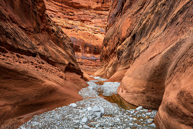
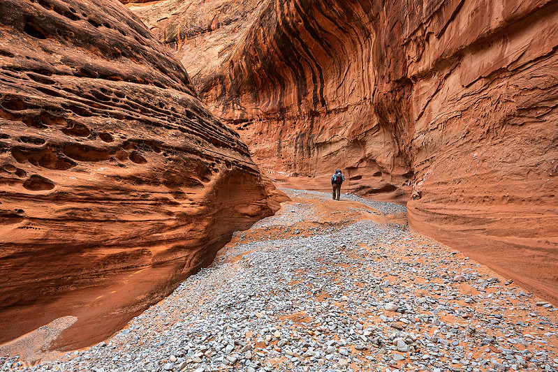
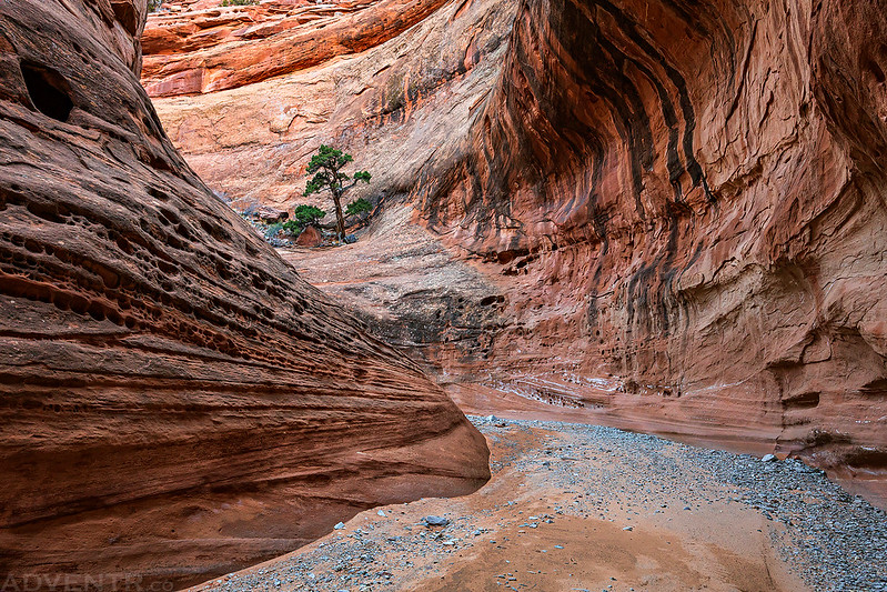
The narrows were lovely, so it’s too bad the light wasn’t that great…

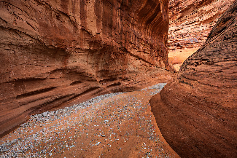


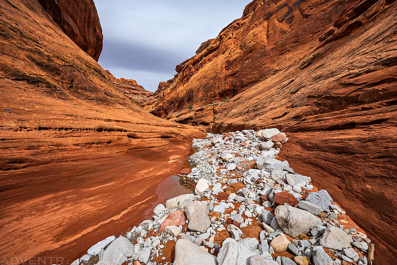
A couple mile further down the canyon we passed a short side canyon that contained a spring that was flowing pretty good. From that point on there was some running water in Swett Creek.

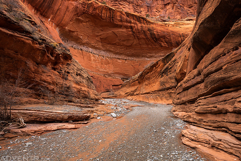
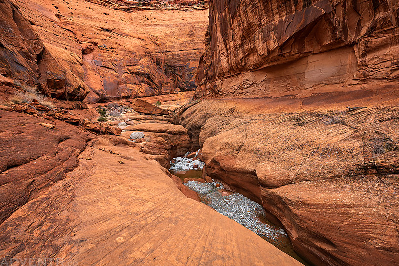
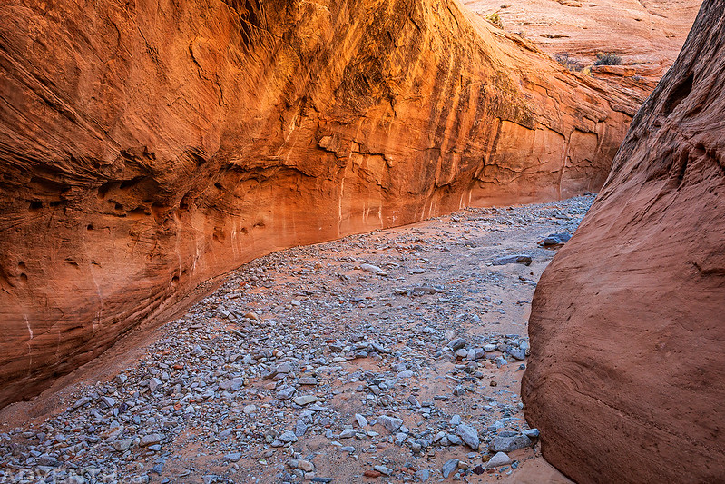
This is a view looking over the final narrows from the bench above. We couldn’t get down there without getting wet, so this was our turnaround spot today. It was only about 3/4 of a mile from the point I had hiked up Swett Canyon two years ago. We stopped for a snack and then headed back up the canyon in search of a campsite for the night.


Once we reached an open section of the canyon where I had hoped to find a campsite, the blue sky actually made an appearance!

We found a sandy spot to set up our tent where the canyon opened up a bit. Although there were some places lower in the canyon we probably could have camped, those spots would have been located on sandstone, and with the wind predicted overnight we thought it would be best to find somewhere we could stake down the tent.


After camp was setup I wandered around the area until sunset.


Once the sun was down we got in the tent and went to bed early. It seemed that the wind died down after sunset and we got a couple of hours of calmness, but we were both woken up a few hours later by some very strong gusts of wind coming down the canyon and striking our tent. I was sure glad we staked it down good! That wind lasted for a while and then calmed down again, with other occasional gusts throughout the rest of the night. It actually reminded me of our first time camping in Trachyte Creek when we had similar conditions overnight. When we woke up Sunday morning shortly before sunrise our sleeping bags were covered in sand.
After packing up camp I walked back down the canyon to the first big bend hoping that the light might be nicer.
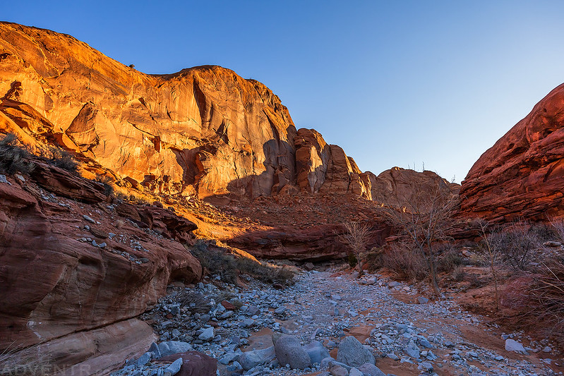
I guess I was still too early for the good light. Maybe next time…
I returned to Diane and we started hiking back out of the canyon.


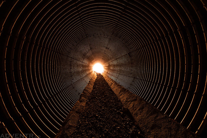
We walked through the culvert under the highway before climbing back up to the Jeep.

A morning view over the Star Creek Benches to Mount Hillers in the Henry Mountains.

We descended Maidenwater last October to well into the narrows until a drop over a boulder with mud above and water/mud below stopped us, as were unsure of getting back up with slippery shoes. Have to return to complete that, so it’s good to see other options in the area from this report, as well as the other spots linked to.Thanks for posting!
I was in Maidenwater last March and there were no obstacles at that time. It’s amazing how often conditions can change.
It wasn’t a big obstacle, just a drop over a boulder(s) of maybe 5 feet into a muddy pool that was hard to judge the depth of, that would have been simple enough if dry. But with everything including our soles covered in wet slimy mud- a no go!
Love all of your trip reports! How many hours do you think you hiked down Swett before you turned around? We are looking to do this as a day hike in 2 weeks and I’m having a hard time estimating distances/travel times. Thank you!
I’d guess 3-4 hours. It could easily be done as a day hike.