Canyons of the Paria | Deer Creek Canyon & Lower Bull Valley Gorge
Southern Utah Wanderings | Friday – Monday, October 2-5, 2020
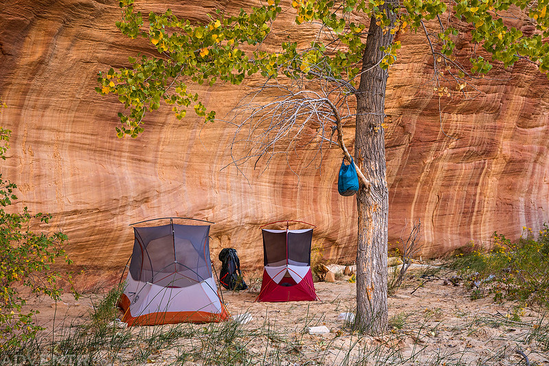
This year for our annual week-long trek into Southern Utah, Jared and I decided to spend most of our time exploring the canyons of the upper Paria River located within the Paria – Hackberry Wilderness Study Area. As usual, I left right after work on Friday afternoon and headed to the BLM Visitor Center in Cannonville where Jared and I had planned to meet up. Our timing turned out to be pretty good since he arrived about 15 minutes after me. We then we made our way over to Between the Creeks Point and found a spot to camp for the night. We quickly got our tents set up and went right to bed since it was getting pretty late.
I stopped for a couple quick photos of the fall colors as I drove through Fishlake National Forest between I-70 and Loa on Friday evening.


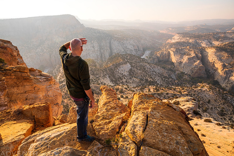
Even though we didn’t get much sleep overnight, we still woke up with the sunrise on Saturday morning and took down camp so we could get an early start. We were planning to start a three day backpacking loop of the Paria River and Sheep Creek around Between the Creeks Point today, but with the dry year we’ve had on the Colorado Plateau we were a little concerned about finding water along the route, so we thought it might be a good idea to drive to the end of Between the Creeks Point to see if we could spot any water in the Paria River below before deciding what we were going to do.
As we drove to the end of the point we stopped for this smoky view to Bryce Canyon National Park on the horizon.
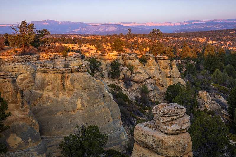
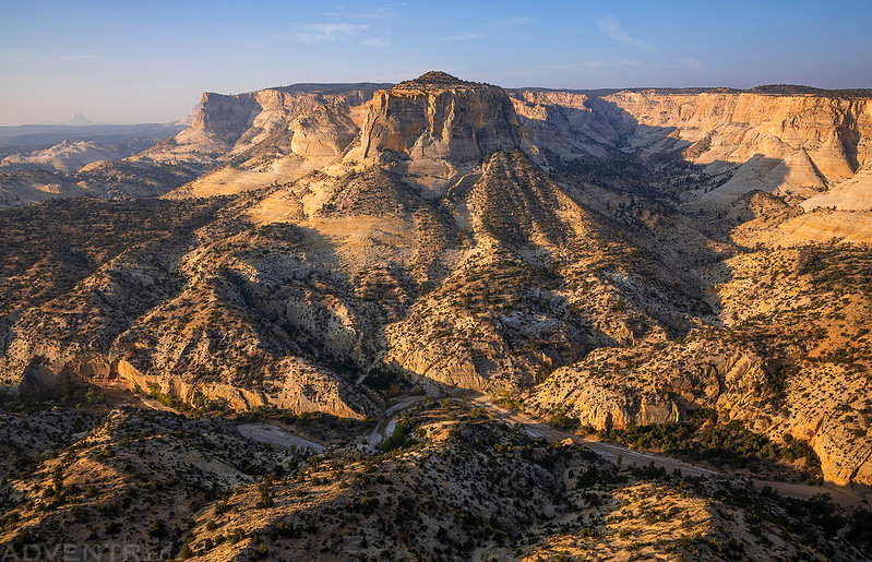
We hiked to the very end of the point for a view over the confluence of the Paria River and Sheep Creek. As you can see, it was very smoky out this morning!
The White Cliffs with Mollies Nipple barely visble through the layer of smoke.

It looked like there was water flowing in this section of the Paria River, but we couldn’t tell if it would be good for drinking or not. Still, we decided to go ahead with our plans.

Another view of the White Cliffs on the other side of Sheep Creek.
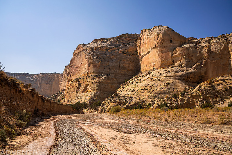
After hiking back to our vehicles from the end of the point we drove back to the Sheep Creek Dam and left Jared’s Jeep there. He loaded his backpacking gear into my Jeep and we drove back to the Cottonwood Road so we could start hiking down the Paria River. I had originally thought we would start hiking down the Paria River from the Cottonwood Road near Shepherd Point, however, when we got to that area I couldn’t really find a good place to leave my Jeep and the first few miles of the hike down the river looked like they would be a boring slog, so we returned to Between the Creeks Point and drove out to Dunham Spring to start hiking from there instead.
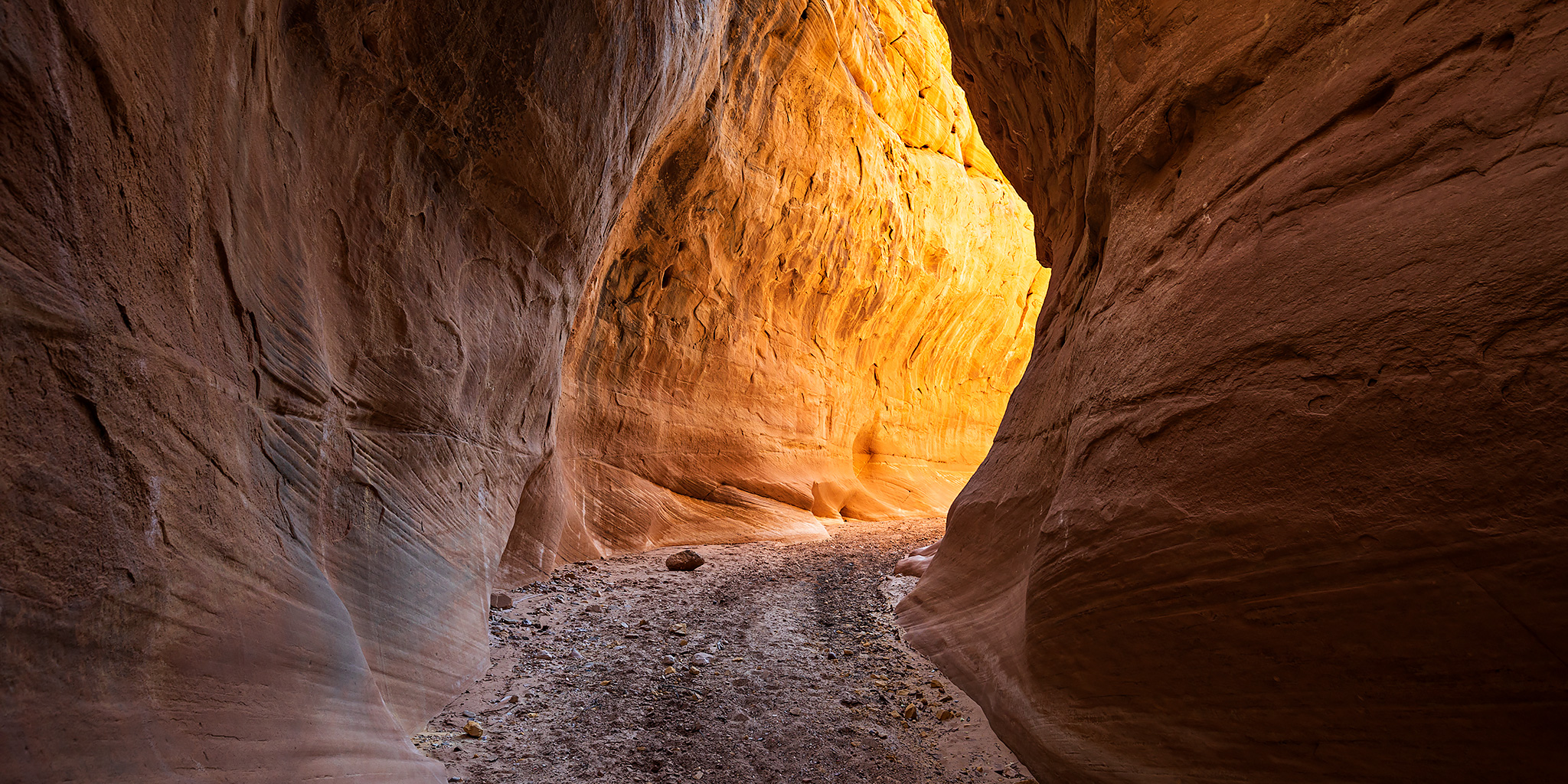
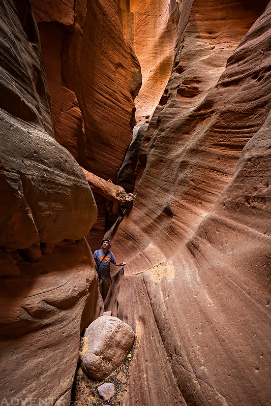
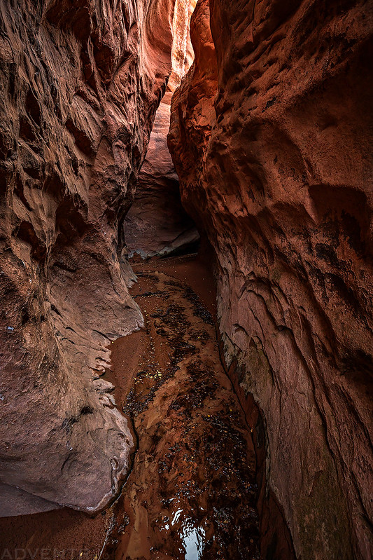
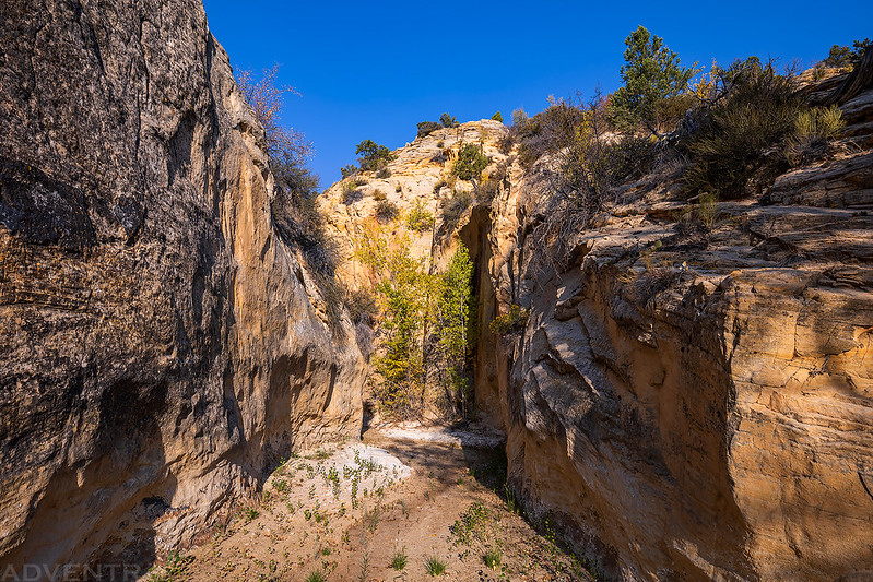
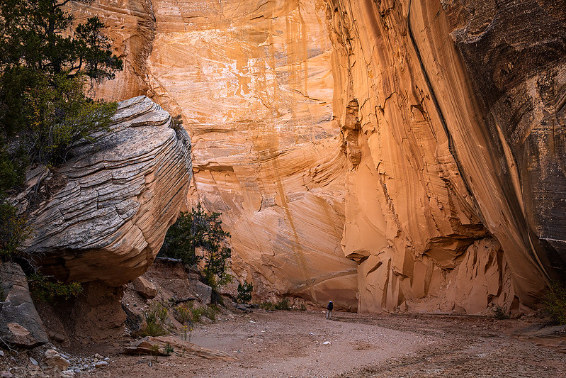
After descending a steep and loose rocky slope to the bottom of Dunham Canyon we dropped our packs and hiked up the Dunham Slot Canyon.

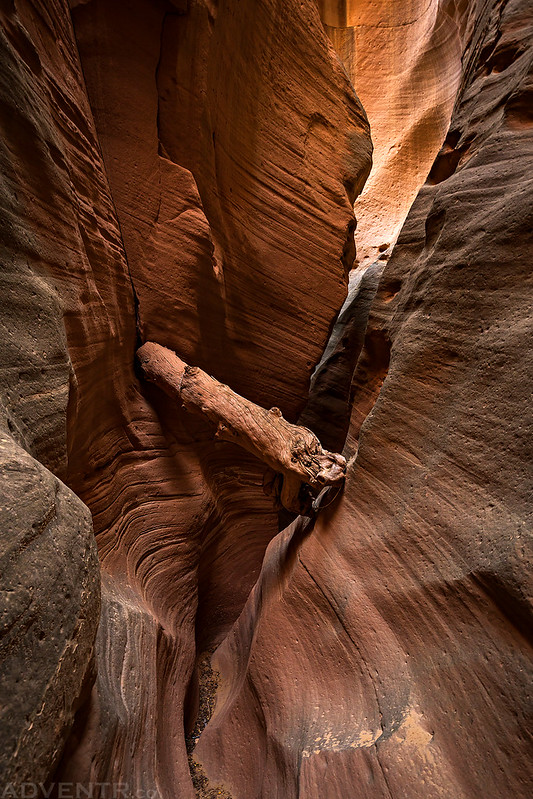
Here’s Jared for a little scale. This canyon reminded me of Antelope Canyon a little bit, although it was not nearly as colorful.

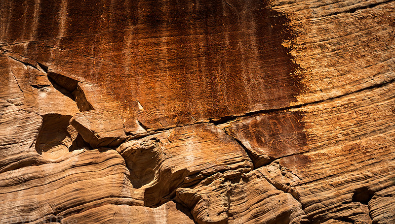
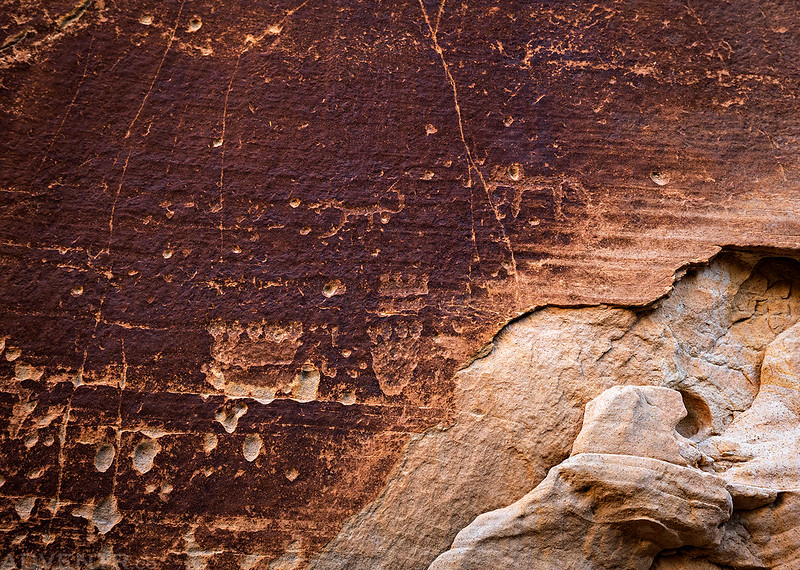
Once we finished the hike out of Dunham Canyon and reached the Paria River Gorge, we spotted our first faded petroglyph panel high up on the canyon wall.
This part of the Paria River was dry and there were plenty of mud cracks in the river bed.

In a large alcove we spotted these inscriptions from 1888.

The Dry Paria River

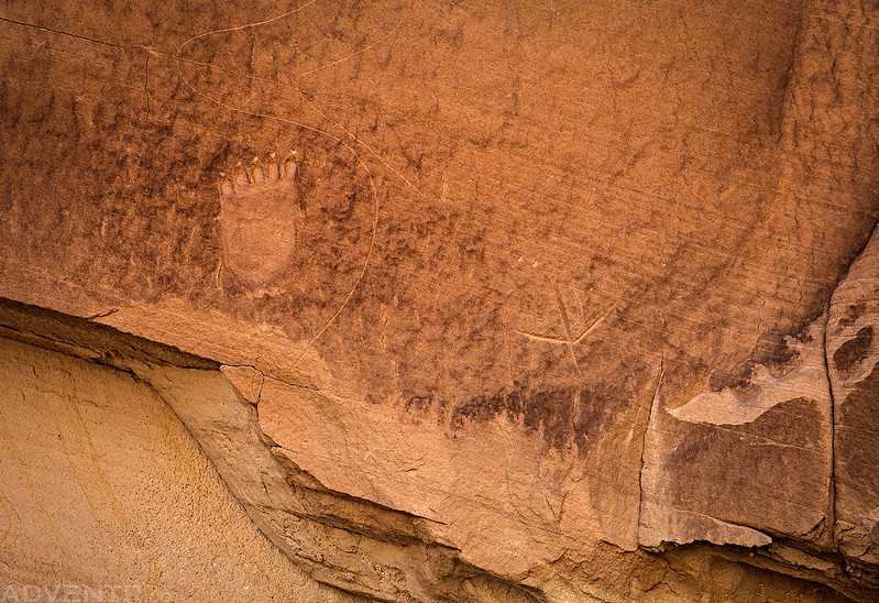
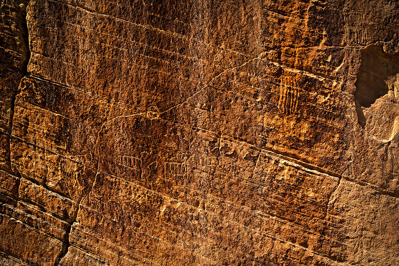
Bear Paw & Bird Track Petroglyphs
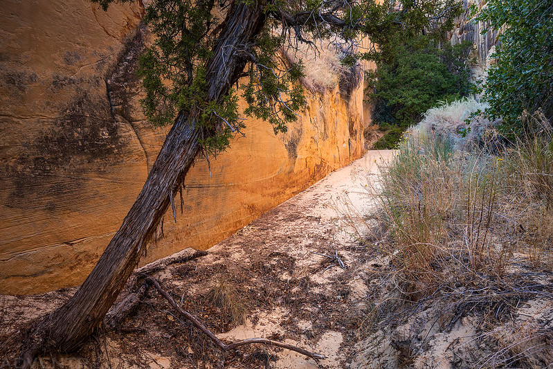
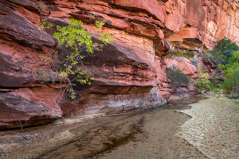
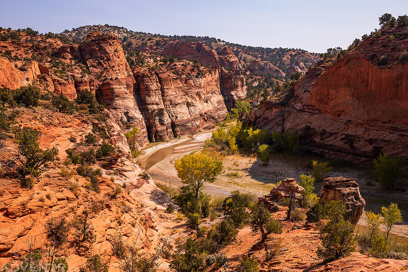
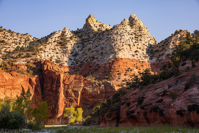
The scenery was outstanding as we hiked through the gorge of the upper Paria River.

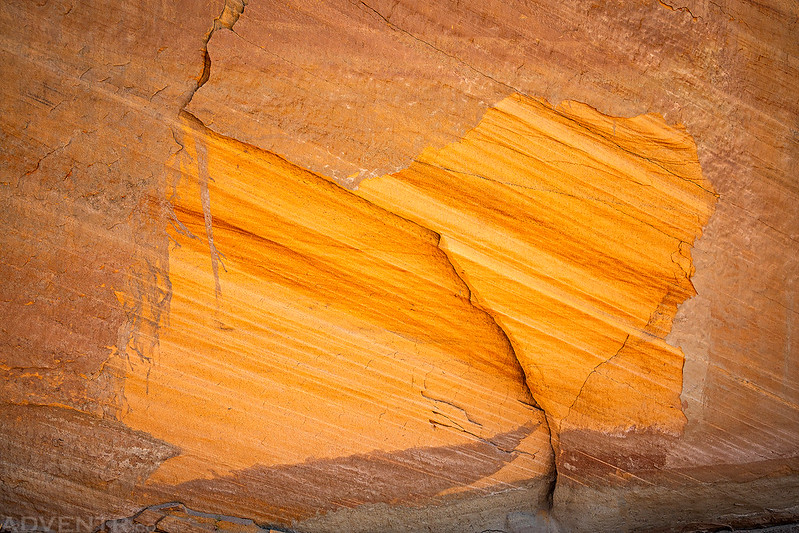
Patch of Color
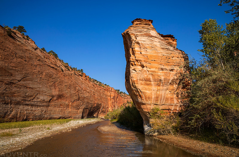
Paria Cove

Growing Out of Stone

After hiking a couple of miles downstream we finally started to see a little water in the river bed.

Pretty soon there was a good flow of cool and clear water. Thankfully, we wouldn’t have to worry about finding good water to drink, but now we had to watch out for slippery and sinking mud!

I stopped to explore that narrow crack in the background.
Soon we reached the confluence of Sheep Creek and the Paria River that we had viewed from above earlier in the day.
We found a nice sandy campsite in a shallow alcove near the confluence and got our tents set up before going on an evening hike up Sheep Creek to visit the Herm Pollock Slot and search for a few petroglyphs along the way.

We almost missed these small bear paw petroglyphs.
Searching for petroglyphs…
These petroglyphs were not only hard to see, but they were pretty high up on the wall with no ledge to access them. They must have used ladders when they were created?

Although we visited the Herm Pollock Slot this evening, the light was very low so I didn’t really take any photos and planned to visit it again during our hike out on Monday. After returning to camp we had a late dinner and went to bed early just after it got dark out. It had been a long day and since we didn’t get much sleep the night before, so we were both pretty tired!
On Sunday morning we woke up with the sunrise again, although this time we got a long night of good sleep in. Our plan for the day was to leave our camp where it was and take our day-packs down the Paria River to Deer Creek Canyon and back. There were plenty of stops to make along the way, so we needed to get an early start.
Our view of Between The Creeks Point at sunrise as we started hiking down the river.

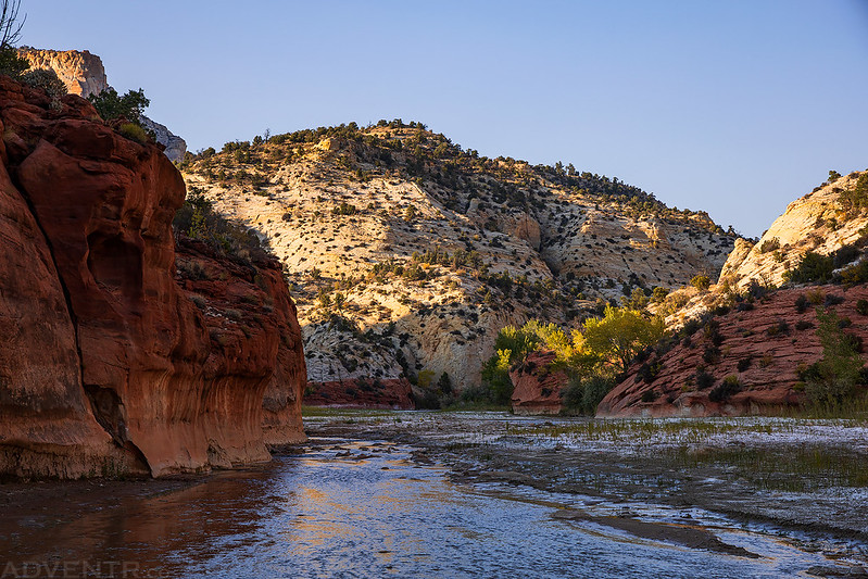
A beautiful morning along the Paria River.
We stopped to check out the old inscriptions on Lone Rock, which was a prominent landmark along the route through the canyon.
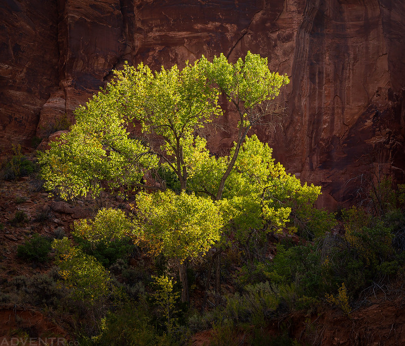
This cottonwood tree caught my attention since it was lit up nicely with the canyon wall in the shade behind it.
Can you spot the two arches in this photo?

The hiking up Deer Creek Canyon was easy, as long as you stayed in the creek bed.
Hiking through a large alove in Deer Creek Canyon.

Hiking back down Deer Creek.
From a distance I thought these pictographs were fake, but when I got closer I could see that at least some of them are probably authentic. They are definitely very unusual…

These are some of the best pictographs that we would see all week!
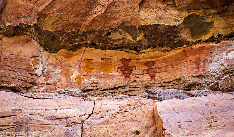
Yellow Guy

White Pictograph

Red & Yellow Design

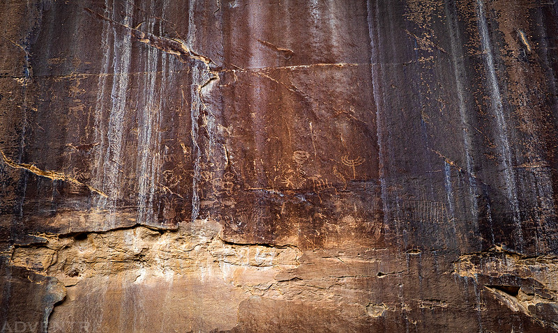
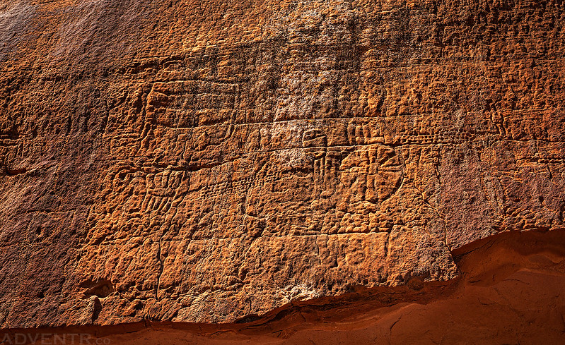
Although it was hard to see and photograph, this was a very nice large Glen Canyon Linear Style petroglyph panel.

Hiking back along the Paria River.

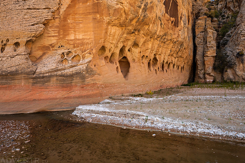
It was pretty warm during the hike back, so it was nice when we could hike in the shade of a large alcove along the way.

On our way back up the canyon we stopped at Crack Spring to fill up on water, which is also known as Pipe Spring and Crack Pipe Spring.
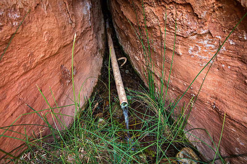
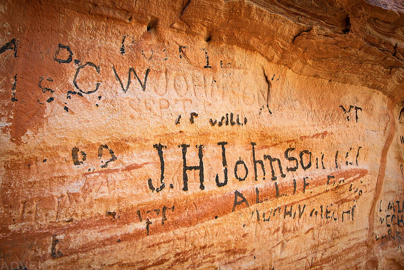
Since this spring is one of the best water sources in the area there were plenty historic inscriptions found near it.
Paria Arch

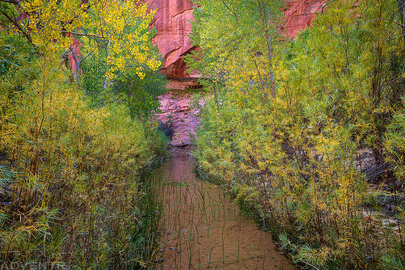
River Walking

When we reached Lone Rock again we followed the Johnson Hole Canyon Trail out of the canyon to search for a nearby hoodoo. It was pretty warm hiking up on the bench above the river this afternoon and the soft sand to climb up climbs didn’t help either…

Looking back down into the Paria River canyon as we hiked to the bench above.
After a little searching we found the interesting hoodoo we were looking for.
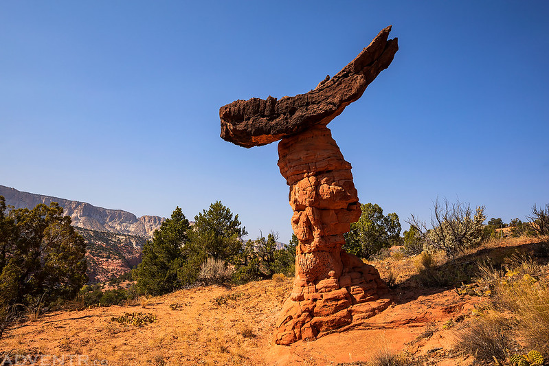
Paria Hoodoo

Then we returned the way we had come back down into the confines of the canyon walls.
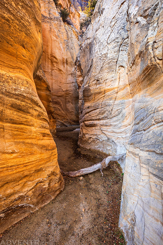
Next up we went on a short hike up the Asay Slot Canyon.

Parts of the Asay Slot Canyon kind of reminded me of Lower Maidenwater Canyon.

This was the end of the slot canyon for us.
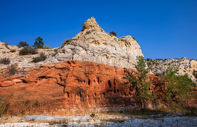
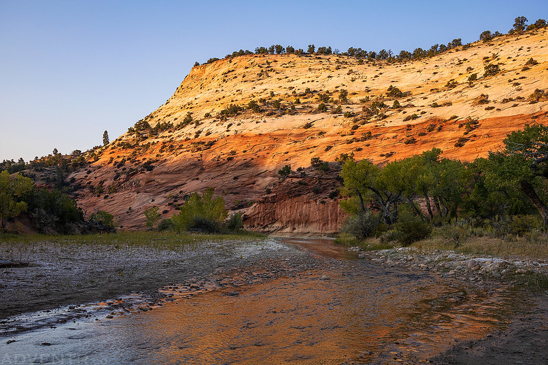
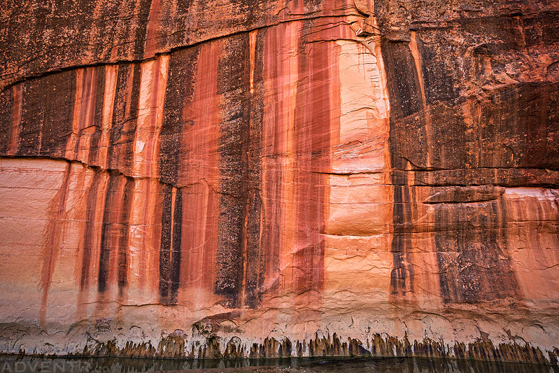
I loved the red and white sandstone layers found near the confluence of the Paria River and Sheep Creek, especially in the late afternoon light.
Back to the confluence…
We returned to camp and were able to finish our dinner shortly before sunset. It had been a great day!
On Monday morning we woke up with sunrise yet again, and then packed up our camp so we could hike up and out Sheep Creek today.
The moon was visible above the canyon walls as we started our hike.

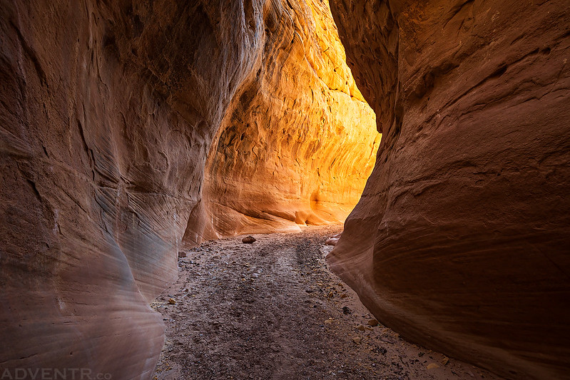
We returned to the Herm Pollock Slot Canyon and hiked up in better light.
Herm Pollock Slot

This is the inscription that was carved by Herman Pollock in the slot canyon.

Dark Passage

Looking up near the end of the slot canyon.

Leaving the Herm Pollock Slot which zig-zags through joints in the sandstone.

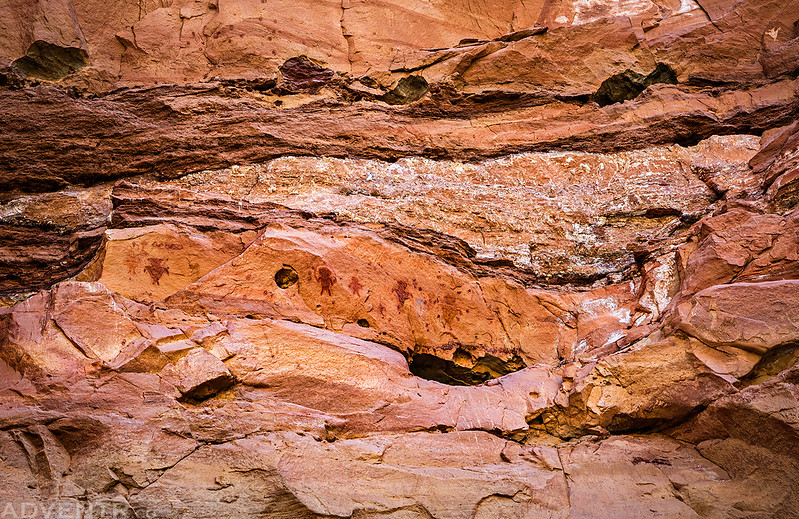
This was a very colorful pictograph panel we found along the way.

At the mouth of Bull Valley Gorge, we dropped our packs again and hiked up the lower narrows until the canyon began to open up. The narrows near the mouth of the canyon are pretty nice!

Jared hiking through lower Bull Valley Gorge.

Bull Valley Gorge Sunstar

The light in the narrows was even beter on our way back out!

We shouldered our packs and continued up Sheep Creek.

Can you see Jared standing under this massive alcove?
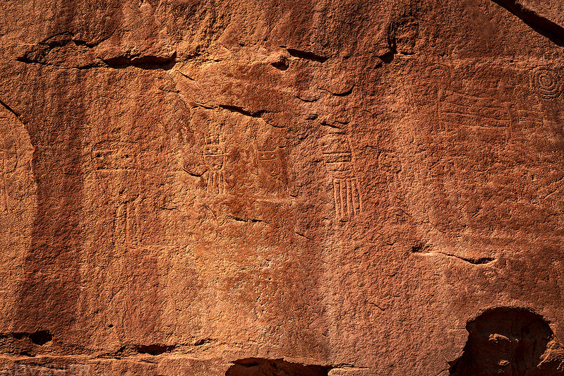
We stopped to visit the popular panel of petroglyphs near the mouth of Willis Creek.

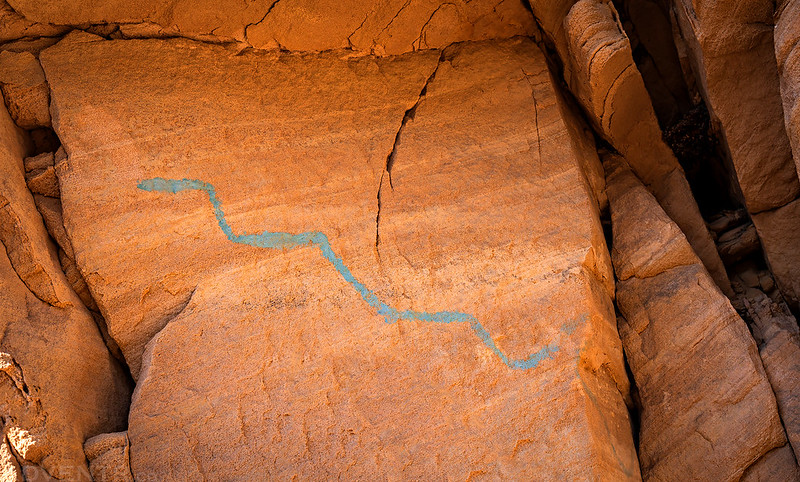
The Blue Snake Pictograph
Hiking through the Sheep Creek Narrows shortly before returning to Jared’s vehicle near the Sheep Creek Dam.

I wasn’t sure what to expect when we started this hike, but I must say that this hike really had it all! Not only was the weather very nice, although I wouldn’t have minded a little less smoke and a few more clouds, but there were deep sandstone canyons, slot canyons, historic inscriptions, hoodoos, arches and rock art! What more could you ask for? Plus, we didn’t see another person for the full three days! It was a very nice three-day backpacking trip and a great way to start off our week in the Canyons of the Paria!
>> The Upper Paria River Gorge & Sheep Creek Loop Photo Gallery
Great photos make this post even more interesting. Would love to see some of this up close. I have hiked Paria Canyon but these petroglyphs seem much more abundant where you were.
That’s not where they filmed the 127 hours movie is it? Awesome looking area and great photos as usual.
I’m not sure where 127 Hours was filmed, but I’m guessing it was in the Robbers Roost area where the event actually took place, so I would say that 127 Hours was probably not filmed around here.
I think the JH Johnson inscription is an ancestral relative of mine. Love your pictures as always.
That’s pretty cool!
This looks like a fantastic place to hike. Beautiful photos, as always. Hiking in water-how do you manage with shoes? You depend on them to dry? Did Diane go also?
On this hike we just got our shoes and feet wet and didn’t worry too much about it since it was warm enough out. Diane did not go with me on this trip. I usually go hiking with my friend Jared for a week in early October every year.
Thanks.
Beautiful pictures and amazing explanations. I would like to do this hike sometime. Question regarding your preparation for the trip. You knew the slots, arches, hoodoos and the pictograph locations. Is there a certain book you follow? Would love to know the details for planning a trip.
I knew some locations ahead of time, but some we just found by walking and exploring. Check out the Paria River book by Kelsey for more info on the area.
Hey, I have hiked around in this area quite a bit, but this hike seemed like a nice one to try. I don’t know where Dunham creed is, however. Can you describe how to get there, or share coordinates to that starting point?