Press "Enter" to skip to content

Tag: tarn

The Flat Tops: Trappers Lake to Big Marvine Peak

Flat Tops Wilderness | Friday – Saturday, June 19-20, 2026

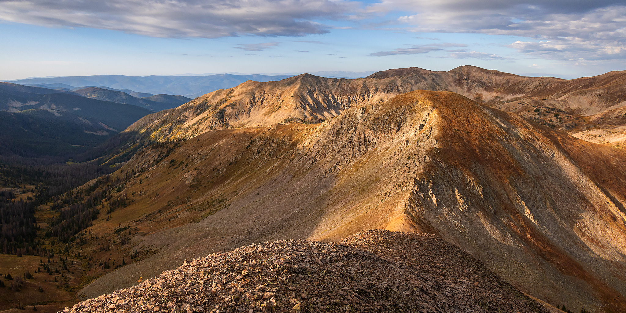
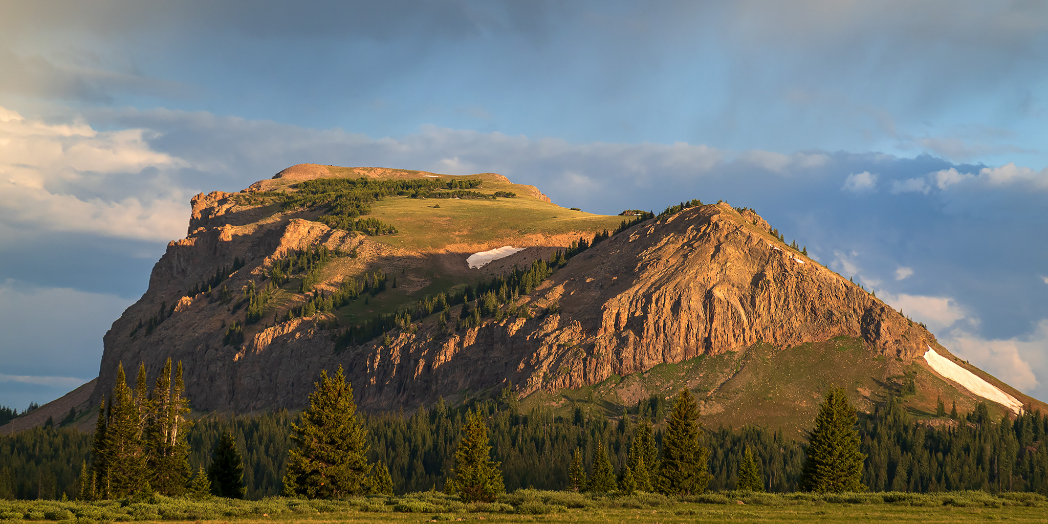
This year for the Juneteenth holiday Jackson and I headed up into the Flat Tops Wilderness for a quick overnight backpacking trip so I could finally hike to the summit of Big Marvine Peak, which is something I’ve wanted to do since the first time I laid eyes on that peak jutting out from the top of the plateau from a distance. I had actually planned to hike to Big Marvine Peak with Diane when we backpacked to the Marvine Lakes about three years ago, but things didn’t quite go as planned on that trip and we ended up just staying in the Marvine Creek drainage, so I was looking forward to trying again, but this time coming from the opposite direction. We left home early on Friday morning and made our way to Meeker, then followed the Flat Tops Trail along the White River to the Wall Lake Trailhead located just above Trappers Lake, where we began our hike.

1 Comment

The Colorado Trail: Little Molas Lake to Lime Creek

Saturday, June 6, 2026

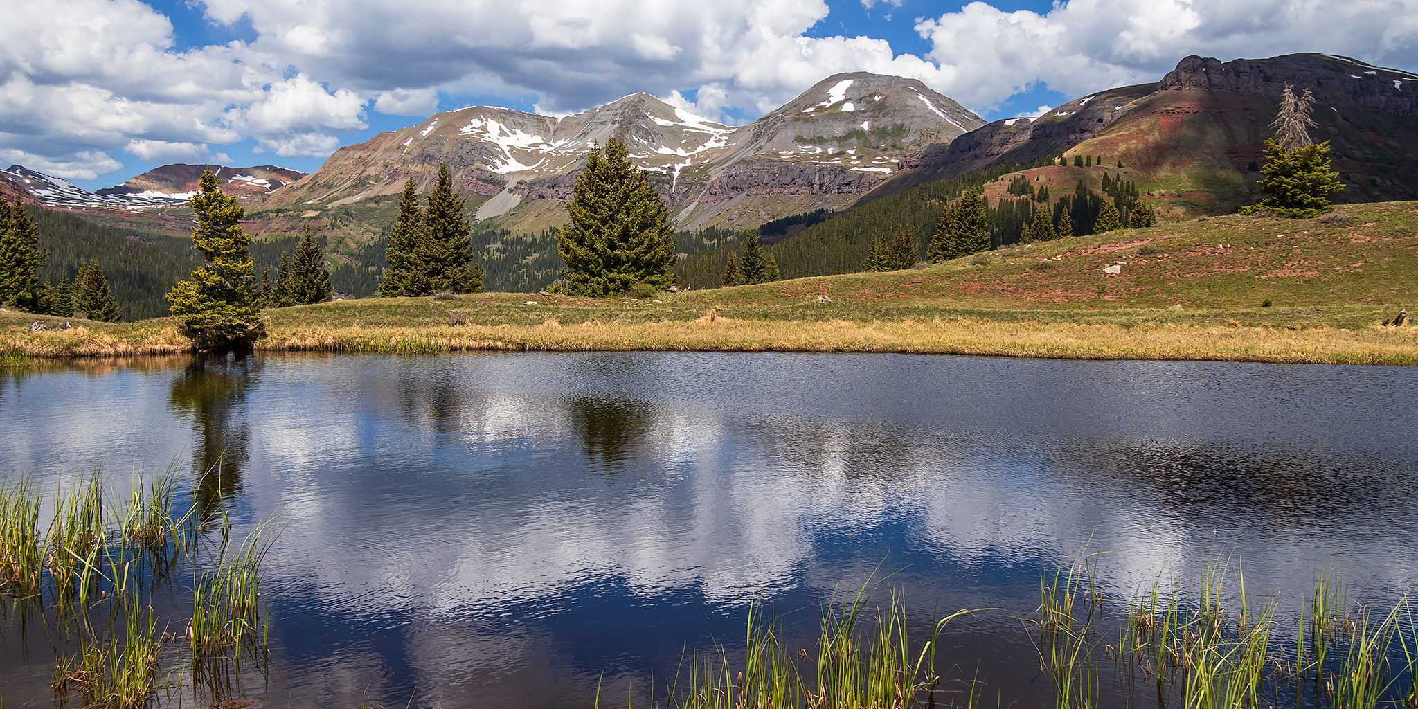
This morning I was on my way to Durango to meet up with my friend Jackson so we could raft the Upper Animas River together on Sunday. But since today was also National Trails Day, I made sure that I gave myself enough extra time to go on a high-country hike in the San Juan Mountains along the way. After following the Million Dollar Highway from Ouray to Silverton, I stopped at Little Molas Lake just above Molas Pass so I could hike a short section of The Colorado Trail to two small tarns located on a ridge between Lime Creek and North Lime Creek. Although it was clear and a little bit hazy out when I started hiking shortly after 9:00am, clouds started to build quickly later in the morning and by the time I was hiking back to the trailhead the wind had picked up and I was rained on a few times. These are a few photos from the hike.

Leave a Comment

Southern Sawatch Saweekend

Friday – Sunday, September 10-12, 2021

This weekend was going to be the last opportunity for me to hike a 14er this summer, and since I have climbed at least one 14er each summer since 2010 I was originally planning to. However, as I started figuring out my weekend plans I just wasn’t feeling like hiking on a busy trail and was looking for a little more solitude, so I decided to skip the 14ers this year and headed to the southern Sawatch Range to hike a few peaks along the Continental Divide instead. I left from work on Friday afternoon and headed to Gunnison, taking the route through Hotchkiss and Crawford since Highway 50 is still closed until 5:30pm on weekdays and I wasn’t sure how quickly I would get to that point. I topped off my fuel tank in Gunnison and then made my way over to Pitkin and started up the road to Hancock Pass. Unfortunately, the road near the top of the pass was much rougher than I remember it being and I wasn’t comfortable driving a section of it in the dark, so I returned all the way back to Highway 50 and drove over Monarch Pass to the Middle Fork of the South Arkansas River and found a place to spend the night shortly before the end of that road. It was pretty late by the time I arrived, so I went right to bed.

Leave a Comment

Grand Basin Traverse: The Basins of Mineral Creek

Black Bear Pass to Columbine Lake
Saturday, August 17, 2019

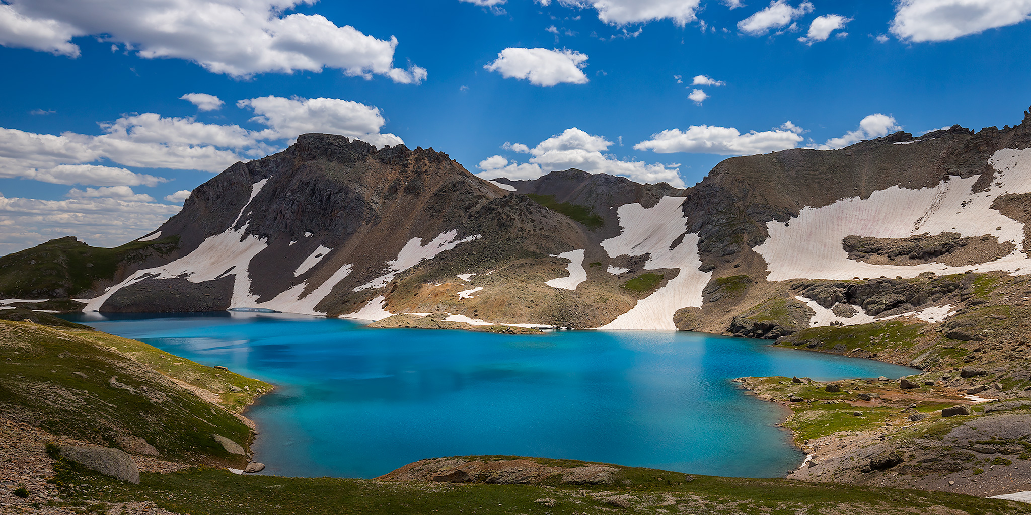
This weekend I decided to skip the peak bagging for a minute and just wanted to go on a nice hike in the high country through the upper basins of Mineral Creek near Silverton. I have wanted to hike to the turquoise blue waters of Columbine Lake for a long time but I didn’t really want to follow the steep trail that everyone else does, so I decided that I would drive up to Black Bear Pass and then hike over to the lake by passing through a couple different high alpine basins and maybe stop at a couple of passes along the way. Now after hiking this route I’ve got to say that it was pretty amazing! One of the nice things about this hike is that it was all above treeline and pretty much stayed between about 12,600 feet and 13,000 feet. There were a lot of ups and downs along the way, but it didn’t feel like I was climbing a steep mountain and the route offered spectacular views in all directions right from the beginning. This Grand Basin Traverse takes you through Mineral Basin, Porphyry Basin, Silver Cloud Basin and Mill Creek Basin on your way to Columbine Lake. Along the way you have the option of climbing up to two different passes for views into Mud Lake Basin and Bridal Veil Basin, plus you will also pass by Porphyry Lake, Bullion King Lake and a number of other small tarns along the way. This is definitely the way to hike to Columbine Lake!

8 Comments

West Needle Mountains: Crater Lake

Saturday & Sunday, July 13-14, 2019

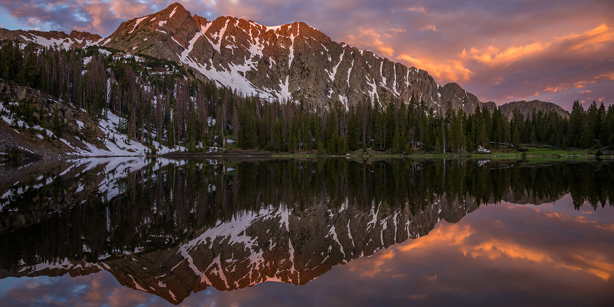
This weekend I wanted to finally get out on our first backpacking trip into the mountains for the season. I was looking for an easier overnighter that wasn’t too far from home, preferably in the San Juan Mountains, and after looking at recent satellite images to see how much snow was left in the high country I decided that we would give Crater Lake in the West Needle Mountains a try. From the recent satellite images it looked like there might still be a little snow on the ground in the area, but nothing we shouldn’t be able to get through. All of the other options I was looking at still had considerable snow on the ground and would have to wait a while longer. This six mile trail starts out in the Andrews Lake Day Use Area located just to the southwest of Molas Pass and climbs up to Crater Lake, nestled on the north side of North Twilight Peak in the Weminuche Wilderness. Last year our first backpacking trip into the mountains was also in the Weminuche Wilderness, but thankfully this time we didn’t have to inhale smoke the entire time!

3 Comments