Press "Enter" to skip to content

Tag: san miguel river

Little Cone: The Other Cone

Friday & Saturday, September 11-12, 2020

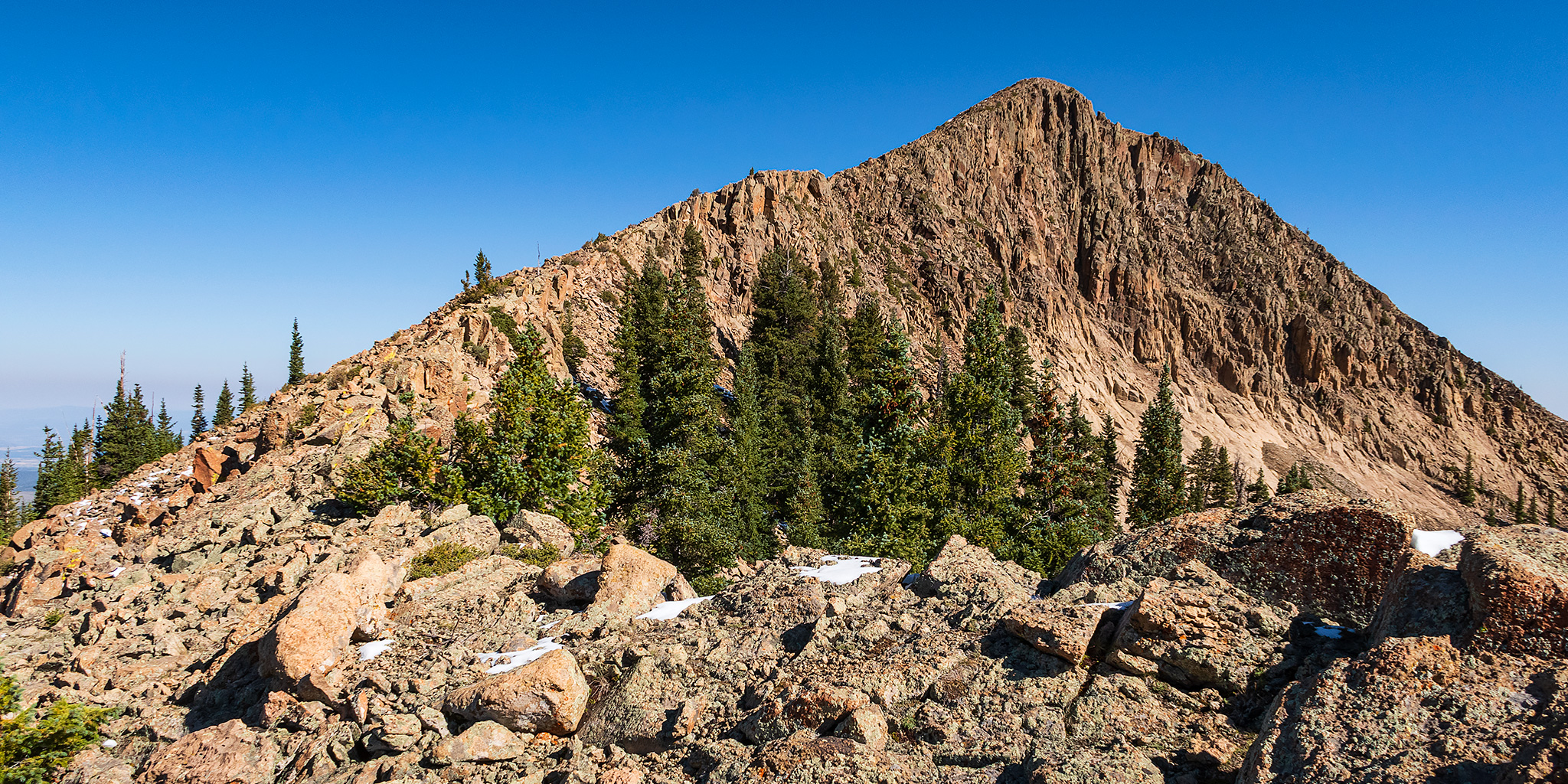
After spending the end of last week on a road trip driving Across the Great Basin and Back, this weekend it was time to get back to hiking in the mountains of Colorado since the season will be ending for me very soon. After climbing Lone Cone a couple years back and Groundhog Mountain earlier this summer, I thought it was time to tackle Little Cone which is another isolated mountain that is located at the western edge of the western San Juan Mountains and sits just to the north of Middle and Dolores Peaks. Although this solitary 11er stands out when you are in the area, I don’t believe the summit sees too many visitors because access is tricky since this mountain is almost completely surrounded by private property. If it weren’t for just one narrow strip of public National Forest land, it would be impossible to climb this peak without permission from a landowner. Luckily that one little strip of land is all I needed to make it to the summit!

Leave a Comment

Hanging Flume Canyon: San Miguel & Dolores Rivers

Rivers of the West End | Uravan Ballpark to the Rimrocker Trail
Saturday, May 30, 2020 | Average CFS: 485

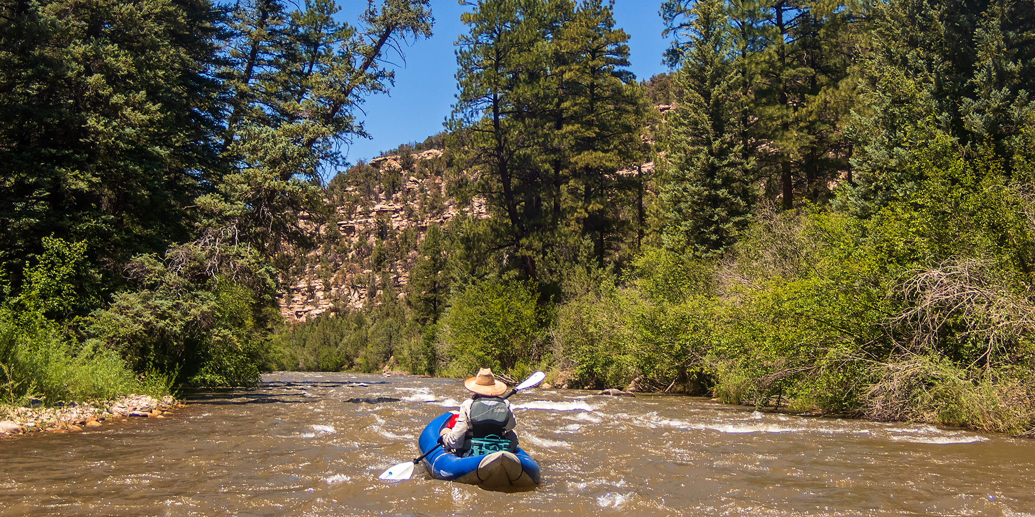
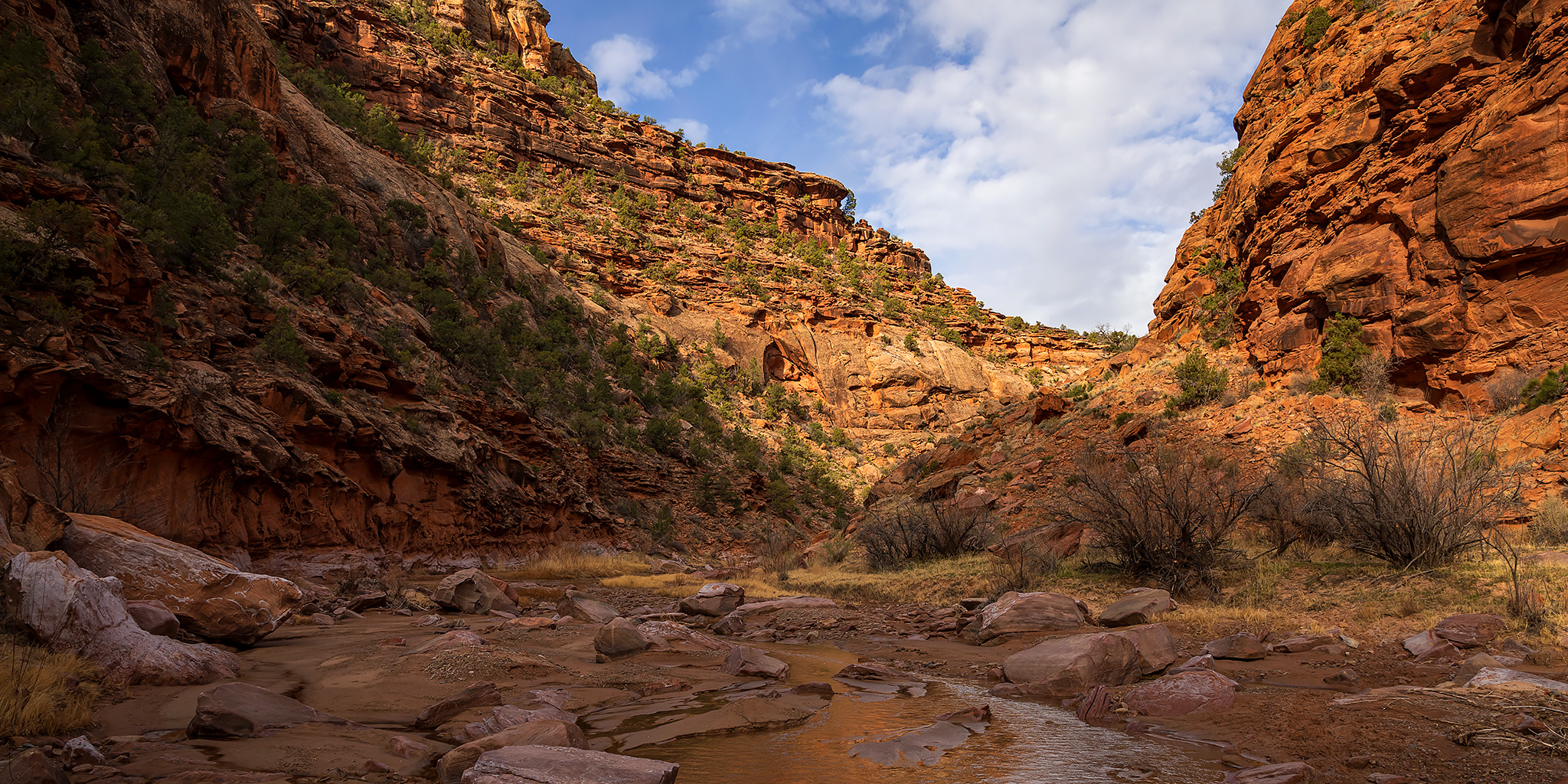
I had high hopes of floating more ephemeral desert rivers this spring like I did last year, but unfortunately this year hasn’t quite panned out as well as I had hoped it would. Many of the rivers that I wanted to float this year just haven’t had enough water in them and the snowpack is almost gone in most places, so it’s not looking very good. However, while keeping an eye on the local rivers of western Colorado earlier this month, it was looking like the San Miguel River might be our best chance for a float, so I tentatively planned a trip with Jackson for the last weekend in May through Hanging Flume Canyon and hoped for the best. During the week leading up to this weekend I kept a close eye on the water levels and forecast for the San Miguel and things were looking pretty good, especially with the little heat wave that we experienced towards the end of the week, so on Friday our tentative plans turned into a definitive plan for Saturday and I was really looking forward to getting on the lower San Miguel and Dolores Rivers this year!

5 Comments

Getting Lost in the West End

Silveys Pocket to the Dolores River, Petroglyphs in Paradox & La Sal Creek
Friday – Sunday, April 3-5, 2020

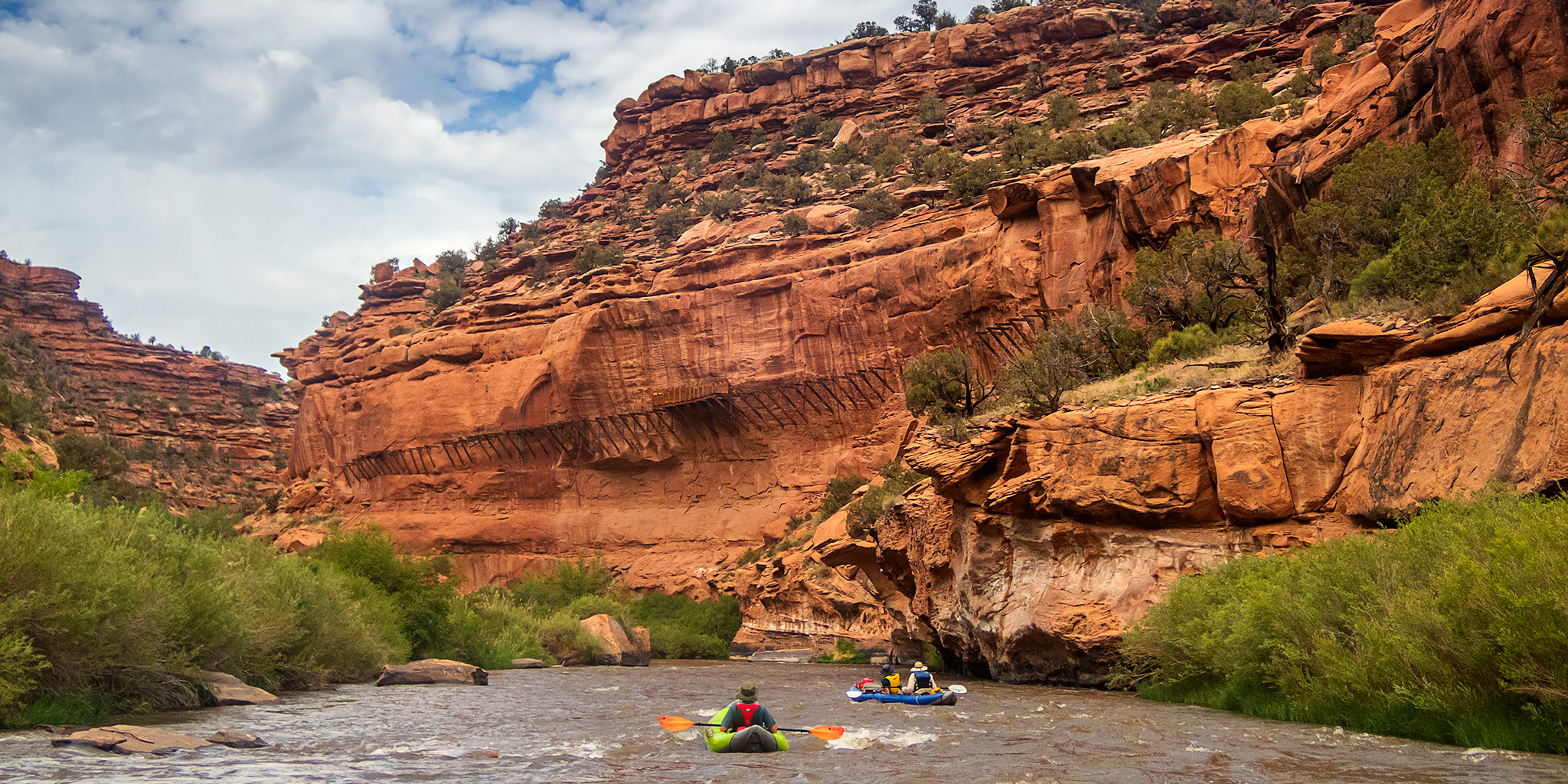
With all of southern Utah essentially shut down to non-locals right now, this weekend I tried to pick one of the more remote areas in western Colorado that wasn’t too far from home to go explore. Ever since I floated through Slick Rock Canyon on the Dolores River last year I have wanted to get back to hike some of the side canyons that we were unable to visit on that trip, so I thought the Dolores River Canyon Wilderness Study Area would be the perfect place to go. I left right from work on Friday and was completely self-contained in my Jeep with food and fuel for the entire weekend so I wouldn’t have to make any stops along the way. I followed the Unaweep-Tabeguache Scenic Byway to Naturita and then headed over to Big Gypsum Valley where I crossed the bridge over the Dolores River beyond the boat ramp and found a place to camp along the rim of Silveys Pocket.

1 Comment

Lone Cone: Westernmost Peak of the San Juans

Saturday & Sunday, August 12-13, 2017

For years I’ve explored southwestern Colorado and southeastern Utah and during that time I’ve seen Lone Cone (12,613) on the horizon from all different angles. It’s the westernmost peak in the San Juan Mountains and is easily identified from a hundred miles away. During that time I’ve always thought to myself that I really should make time to climb that peak one day. Well, that day has finally come…

Leave a Comment

Last Dollar Peaks of the Sneffels Range

Whipple Mountain & Last Dollar Mountain
Independence Day | Tuesday, July 4, 2017

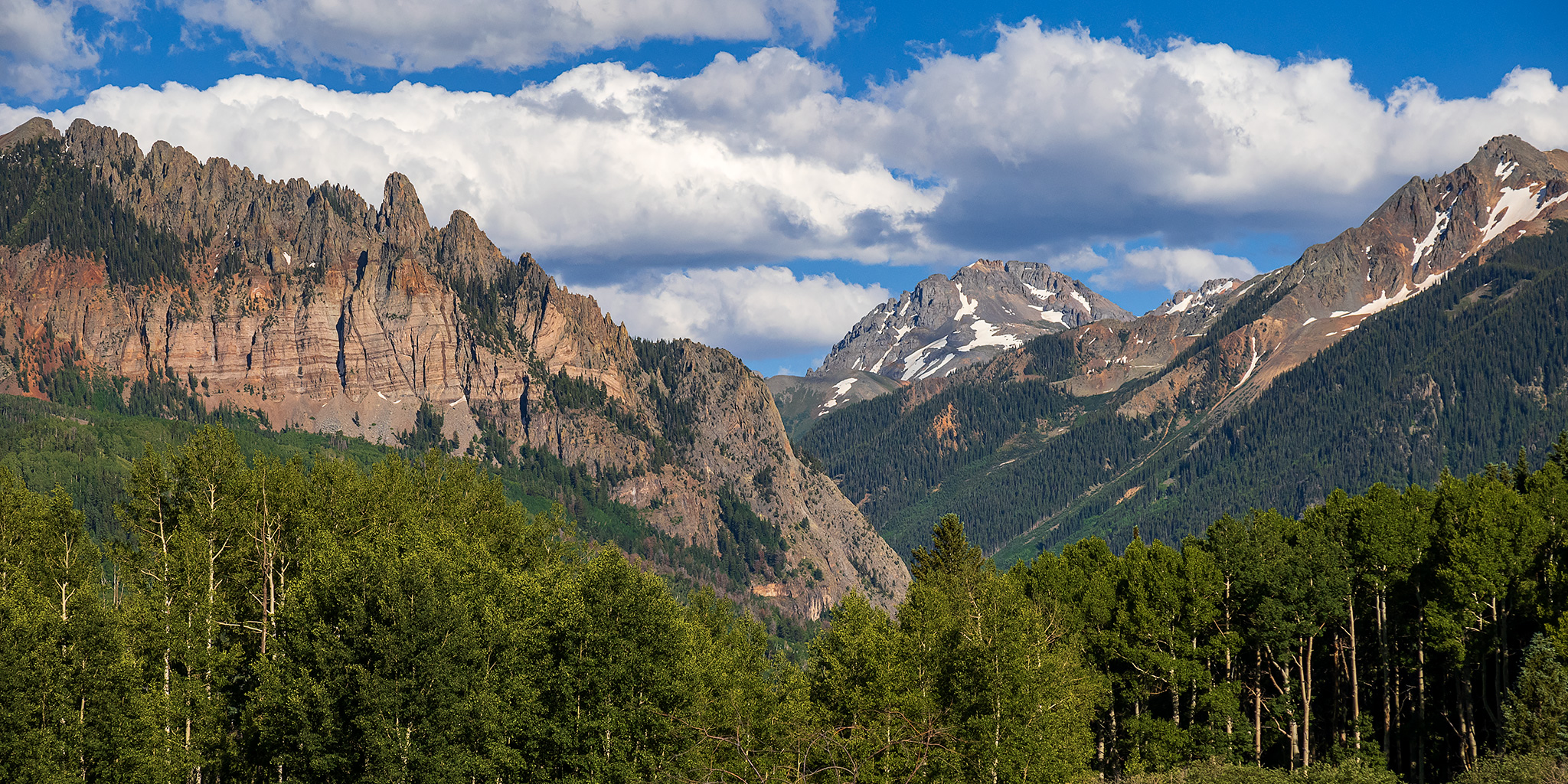
This year for Independence Day Diane and I woke up early and drove down to the west end of the Sneffels Range near Telluride to climb a couple of mountains just off the Last Dollar Road. We started out by hiking up the Whipple Trail to the summit of Whipple Mountain (11,922) which was about 1.5 miles in length with 1,500 feet of elevation gain. It was mostly up an easy trail lined with wildflowers and then the last section from the saddle to the summit was on a faint track through a forest where the mosquitoes were pretty terrible. We enjoyed the view from the summit over toward Wilson Peak, El Diente Peak, and Lizard Head for a little bit and then hiked back down to the trailhead.

Leave a Comment