Press "Enter" to skip to content

Tag: map

Jeep Arch (Gold Bar Arch)

Christmas Weekend in Moab | Monday, December 26, 2016

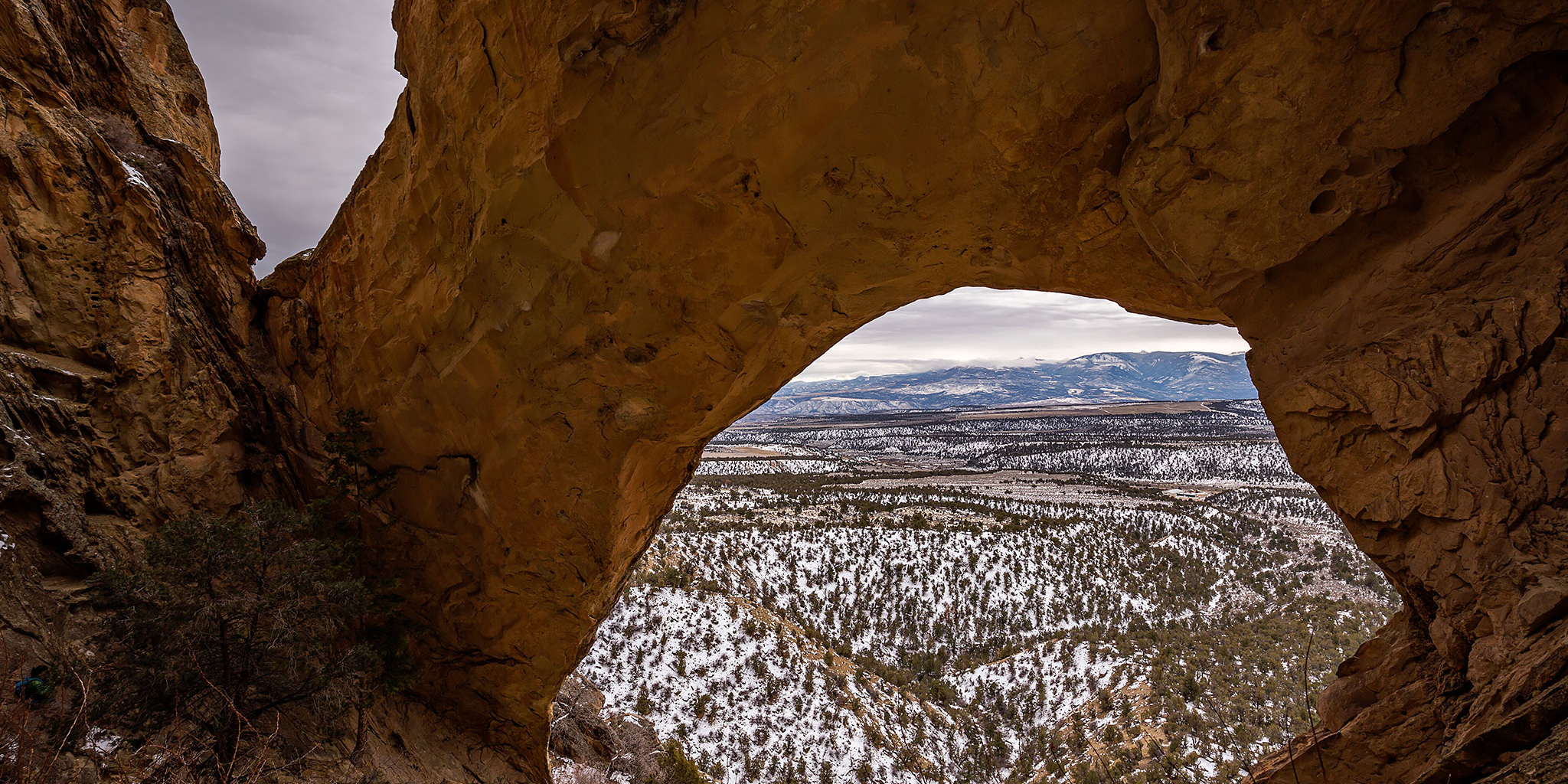
On Monday morning we checked out of our hotel in Moab and followed the Colorado River on the Potash Road until we reached the trailhead for Culvert Canyon (Dragonfly Canyon, Cameltoe Canyon) just before the mouth of Gold Bar Canyon. Our destination this morning was a short hike with some elevation gain up to Jeep Arch (Gold Bar Arch). I vaguely recalled seeing this arch about eight years ago when I took my Jeep Cherokee on the Golden Spike Trail, and I was looking forward to getting a closer look today.

Leave a Comment
Rifle Arch

Saturday, December 3, 2016

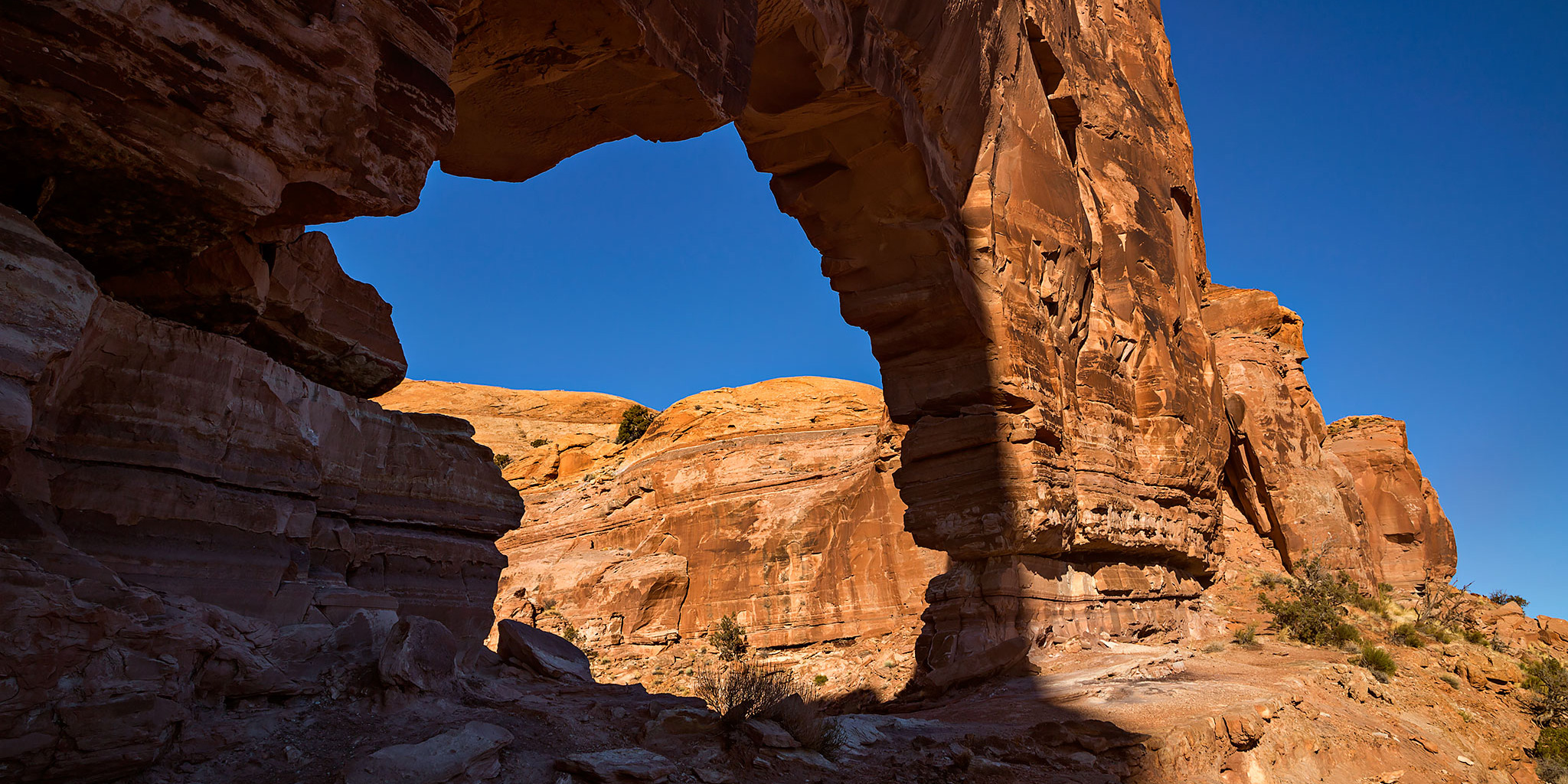
To be honest, our goal for the day was not really to hike to Rifle Arch. Recently, I had learned about a pizza place in New Castle called Hogback Pizza that was supposed to have a good Chicago Style Stuffed Pizza. Since I left the Chicago area I have not been able to find a good stuffed pizza in Colorado and I wanted to see just how good theirs really was. (It turned out to be the best stuffed pizza I have found outside of the Chicago area.) However, I did not want to drive to New Castle just to try some pizza, so I figured we’d find a short hike we could do on our way there and we settled on hiking to Rifle Arch. It was a short 3 mile round-trip hike to the arch but it was much colder outside than we expected it to be and there was a thin layer of snow on the ground. Even though the sky was overcast and I wasn’t able to get any decent photos, it still was a large and impressive arch. I will definitely have to return another day with better photographic conditions.

Leave a Comment

North Soda Trail: Adobe Creek to PT 7412

North Soda Trail
Sunday, November 20, 2016

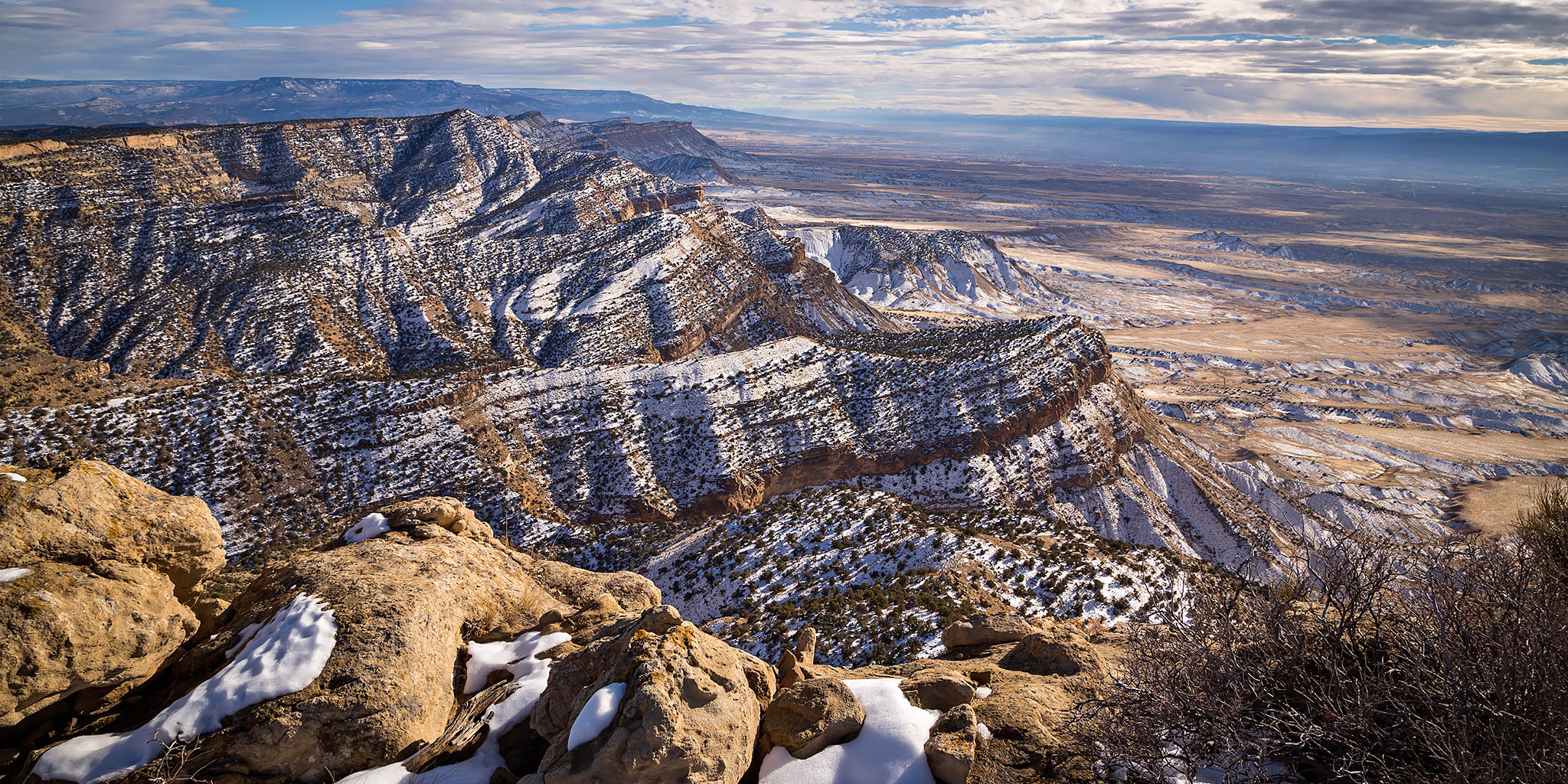
This afternoon I headed back into the Book Cliffs to hike to the summit of an unnamed peak above the Grand Valley. I’ve been trying to spend more time in the Book Cliffs this year (Mount Lincoln, Main Canyon, Tellerico Trail) and wanted to try and get back there one last time before the winter weather really sets in for the season. While the trail I hiked is most commonly referred to as the North Soda Trail (it eventually connects to the North Soda Road on top), I’m going to refer to it as the Adobe Creek Trail since it follows the creek for over a mile and then stays completely in the Adobe Creek drainage as it climbs to the top of the mesa.

Leave a Comment

Jouflas Horse Trail

Sunday, November 6, 2016

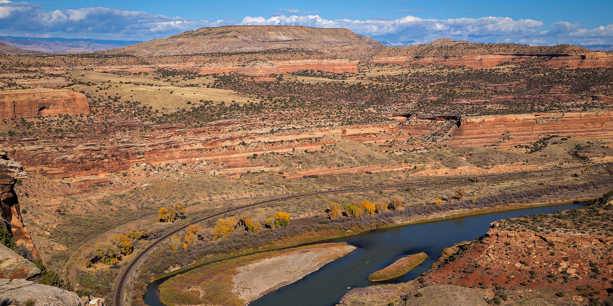
Back at the end of September I hiked part of the Jouflas Horse Trail to an overlook of Ruby Canyon after hiking to the nearby summit of PT 5239, but I was short on time that day and was unable to complete the entire loop. This afternoon Diane and I headed back to Rabbit Valley to finish hiking the Jouflas Horse Trail from the other side. We started at the McDonald Creek Trailhead and followed the trail to the Black Rocks Overlook (which is where I stopped in September) and then returned back the way we had come. It was a pretty easy hike and a nice way to spend a couple of hours on a Sunday afternoon.

Leave a Comment

PT 5239 in Rabbit Valley

Saturday, September 24, 2016

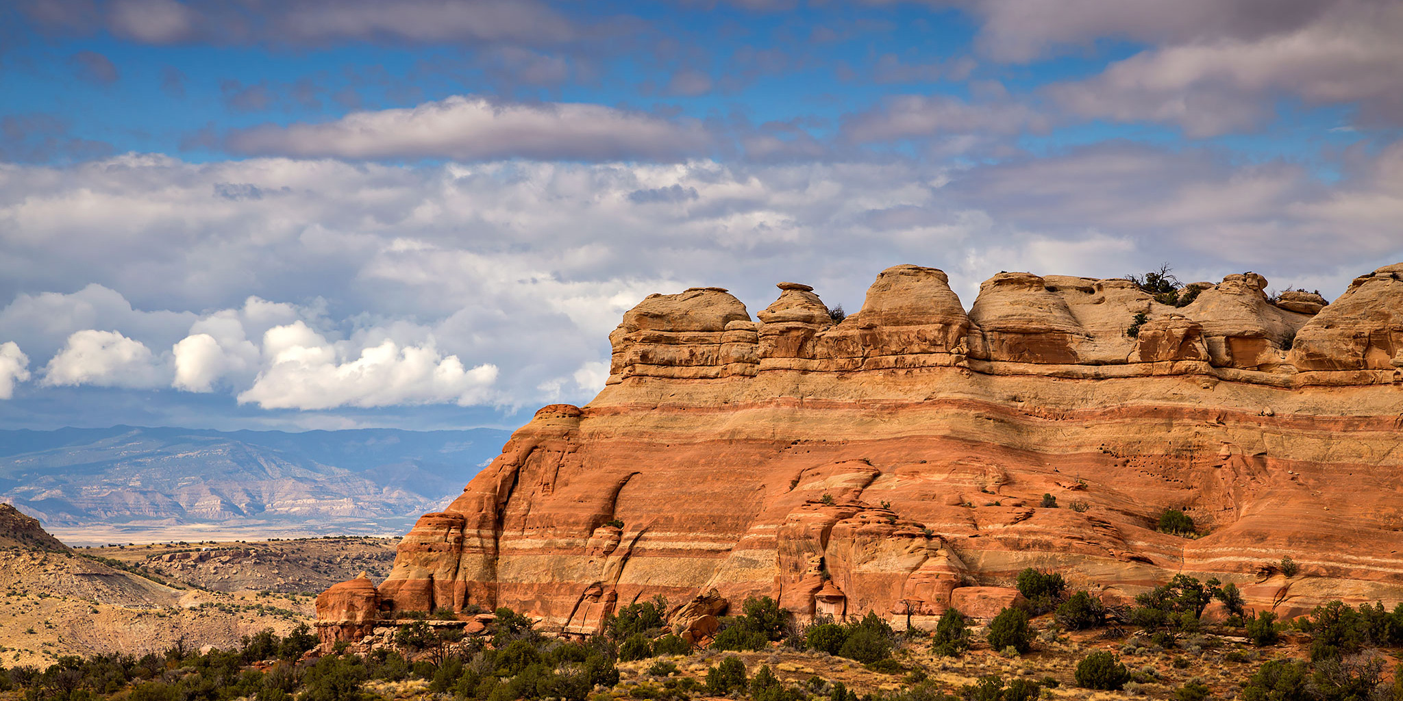
I was originally planning this hike for Thursday after work, but the weather made me change my plans that day. Since we ended up staying close to home this weekend because of the weather, I decided to head back out to Rabbit Valley after the rain stopped late in the morning and hiked up to the summit of PT 5239. I’ve been trying to explore more of Rabbit Valley lately and this short summit away from the more popular trails looked like a good place to check out.

Leave a Comment