Sunday, May 21, 2017
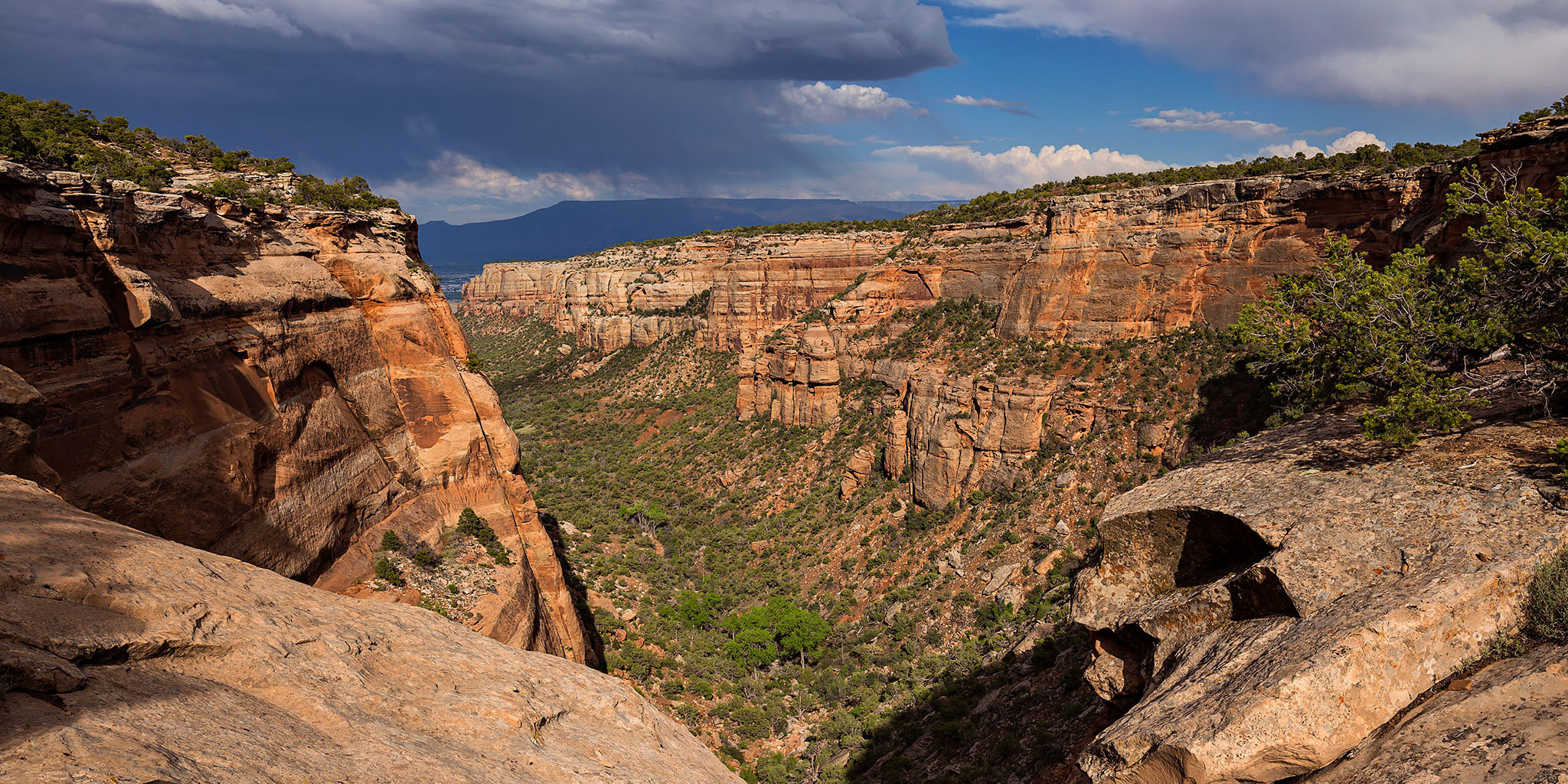
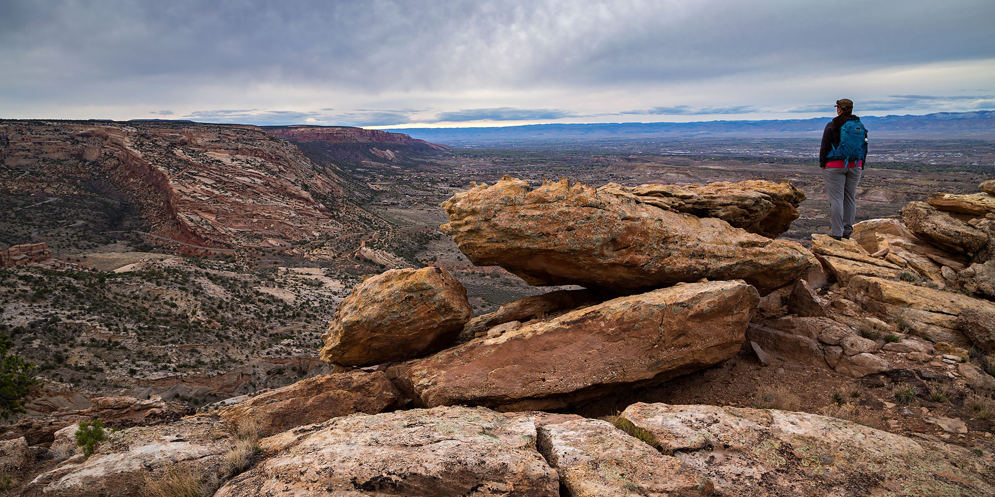
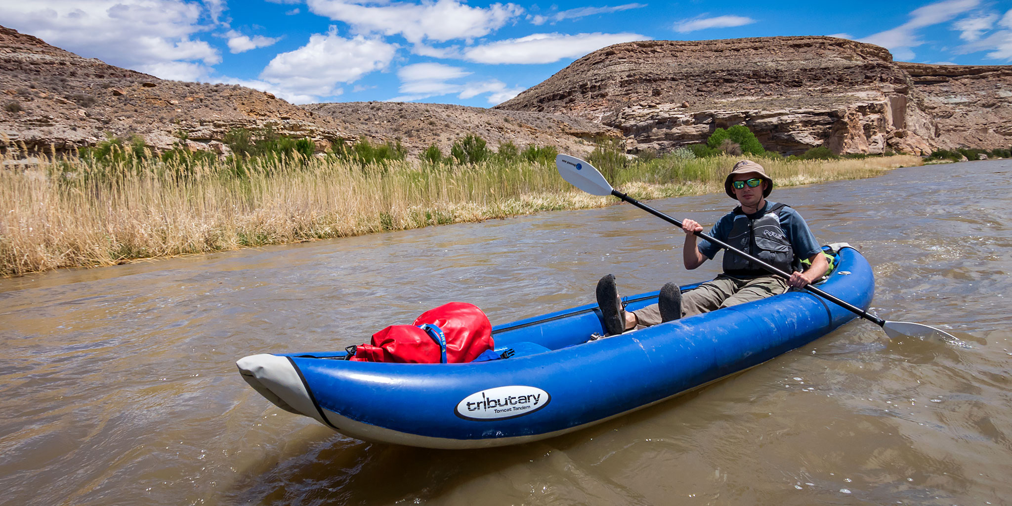
Over a month ago I planned a river trip with Jackson and Chris so we could check out a new section of the lower Gunnison River starting at Confluence Park in Delta to the takeout at Escalante Canyon. We had originally planned on going Saturday, but because of a late-season winter storm that came through the area at the end of the week, which really brought down the temperature, we pushed it back to Sunday and hoped it would warm up a little. With the change of plans, Diane and I went hiking in the Gunnison Gorge on the Chukar Trail on Saturday instead.
Leave a Comment