Press "Enter" to skip to content

Tag: gps

Rico – Silverton Trail

Saturday & Sunday, July 8-9, 2017

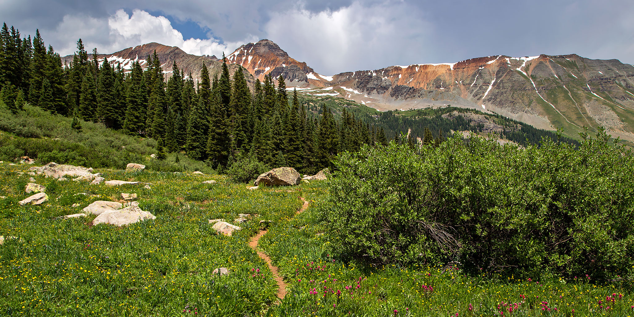
Diane and I spent the past weekend in the San Juan Mountains near Silverton getting in a little high elevation hiking. We left home early on Saturday morning and drove all the way to the end of the Bandora Mine Road in the South Fork of Mineral Creek and found a campsite shortly before arriving at the trailhead. We quickly setup camp and then started hiking up the Rico – Silverton Trail to it’s intersection with The Colorado Trail. There were a lot of wildflowers along the trail, especially in South Park along with some patches of snow over parts of The Colorado Trail, including a big drift across Rolling Mountain Pass. When we reached the high point of the trail I climbed to the summit of an unnamed 12er that offered great views of Engineer Mountain, Jura Knob and the surrounding area.

6 Comments
Last Dollar Peaks of the Sneffels Range

Whipple Mountain & Last Dollar Mountain
Independence Day | Tuesday, July 4, 2017

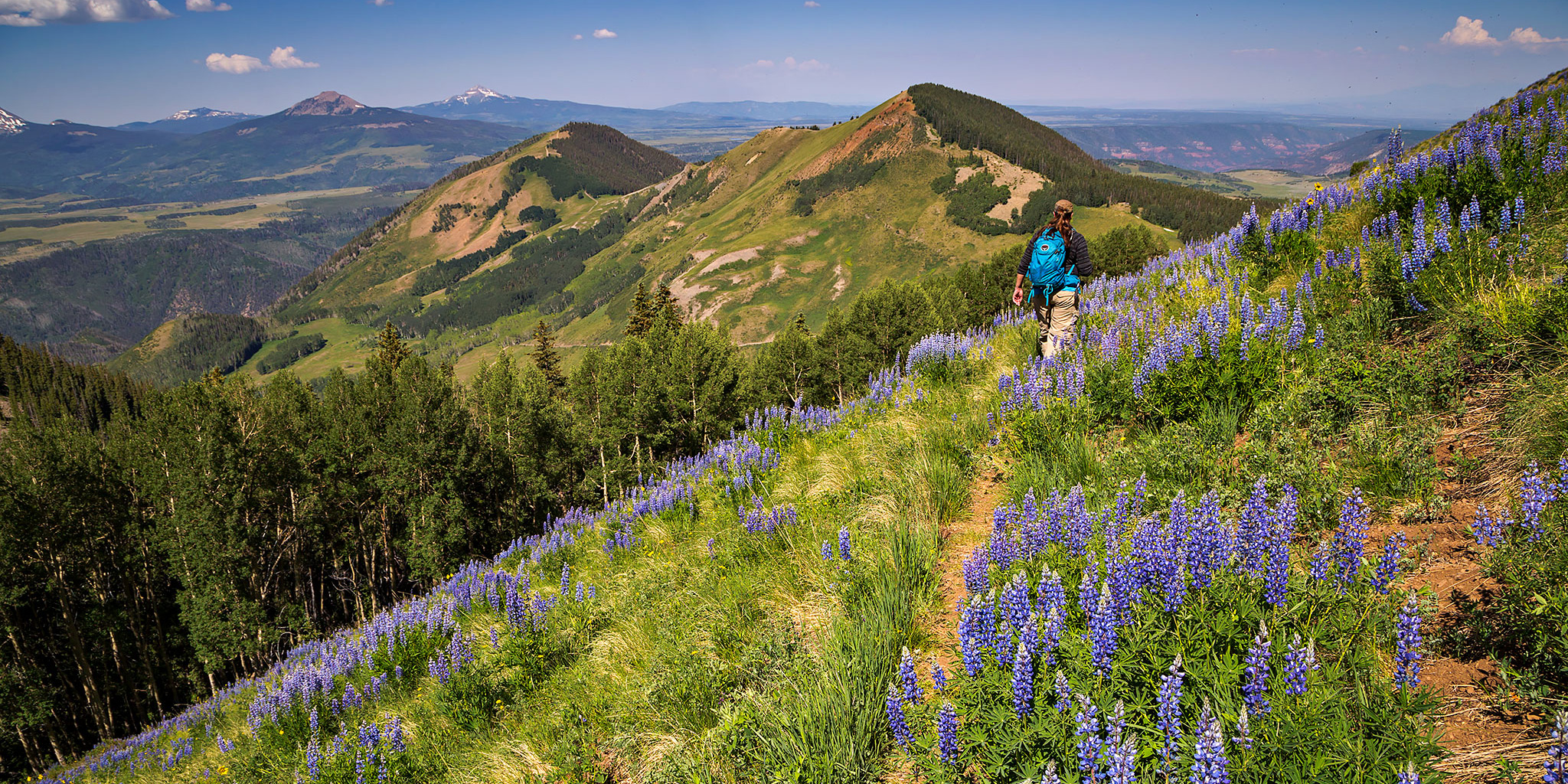
This year for Independence Day Diane and I woke up early and drove down to the west end of the Sneffels Range near Telluride to climb a couple of mountains just off the Last Dollar Road. We started out by hiking up the Whipple Trail to the summit of Whipple Mountain (11,922) which was about 1.5 miles in length with 1,500 feet of elevation gain. It was mostly up an easy trail lined with wildflowers and then the last section from the saddle to the summit was on a faint track through a forest where the mosquitoes were pretty terrible. We enjoyed the view from the summit over toward Wilson Peak, El Diente Peak, and Lizard Head for a little bit and then hiked back down to the trailhead.

Leave a Comment

Dry Mountain in the Wasatch Range

Friday – Sunday, June 30 – July 2, 2017

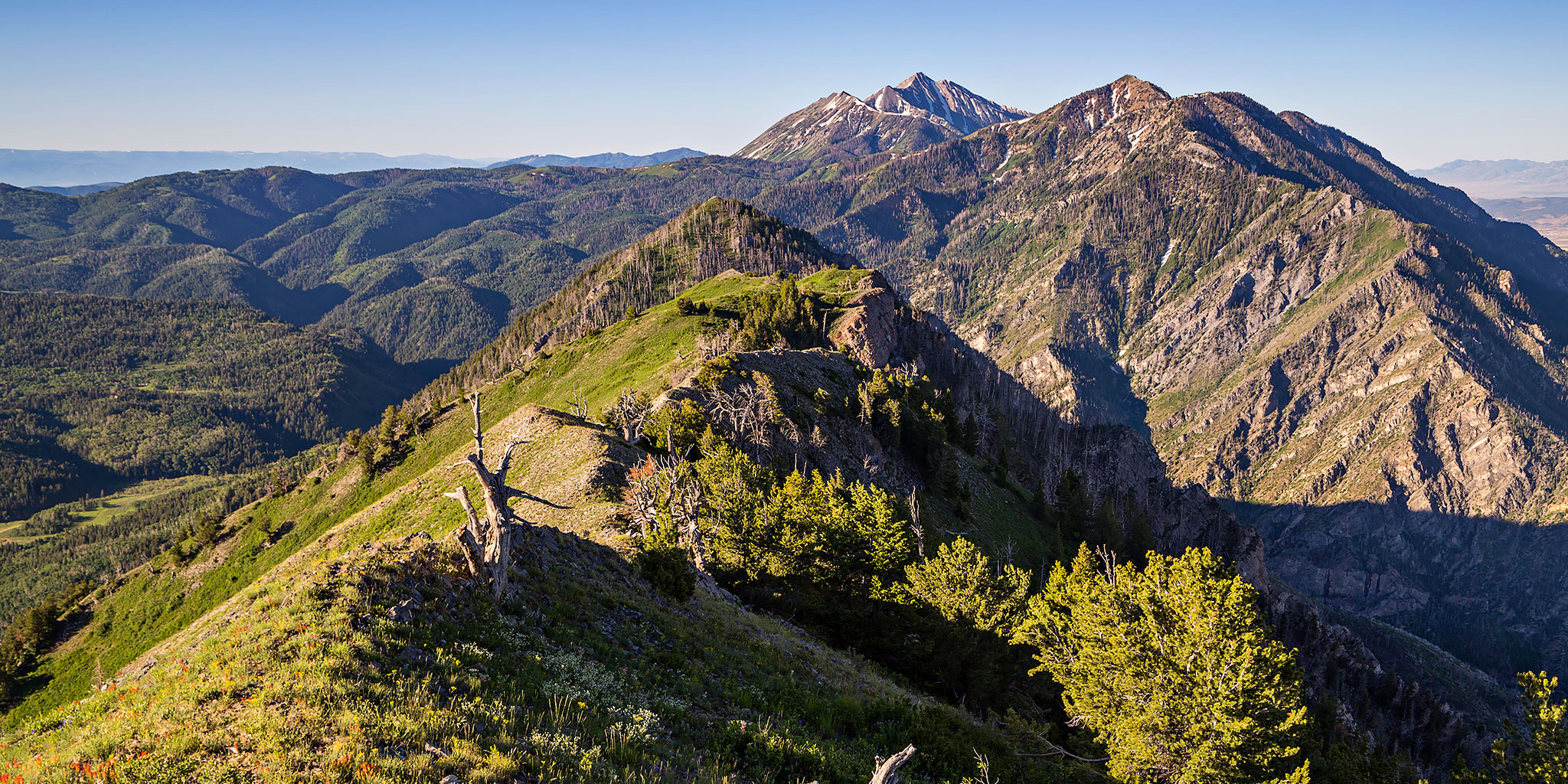
This weekend I was heading up to Salt Lake City to see Rise Against at the USANA Amphitheater on Saturday evening, but since I have a Colorado 14er scheduled to climb later this month I really need to make sure that I’m in shape for it by hiking in the mountains as much as I can this month. Before the trip I did a little research to see if there were any shorter hikes with a couple thousand feet of elevation gain in the Wasatch Mountains that I would be able to squeeze into the trip and I settled on climbing Dry Mountain (9,865) near Santaquin. This mountain wasn’t too far out of my way and it looked like I would also be able to camp near the trailhead the night before. Plus, there wasn’t much information about it online, so I figured the trail wouldn’t be crowded, either. Dry Mountain is one of the shorter peaks found along the Wasatch Front but the trail to it’s summit is just over two miles in length with about 2,000 feet of elevation gain, so it fit my needs perfectly. This peak comes in at #97 on Utah’s 100 Most Prominent Peaks List with 1,845 feet of prominence. Apparently, this mountain is also featured prominently in the movie Footloose, but since I’ve never seen it I can’t confirm.

Leave a Comment

Into the Black Canyon via the Chukar Trail

Saturday, May 20, 2017

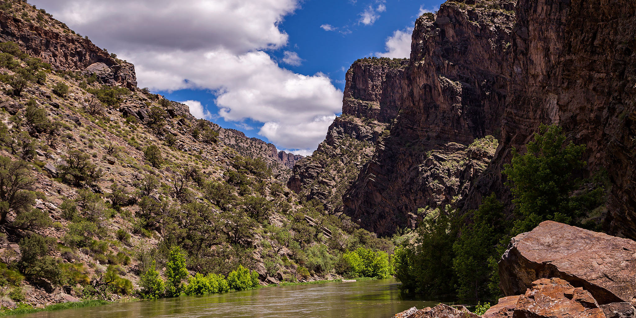
This weekend Diane and I stayed closer to home since I was hoping to raft part of the lower Gunnison River on Sunday. I guess this plan worked out well since the battery in my Jeep died on Friday and I had to wait until Saturday morning at 9:00am to pickup a new one and then install it. Because of that delay we left home later in the morning and decided to go on a short hike into the Gunnison Gorge on the Chukar Trail. The Chukar Trail is one of four main trails on the west side of the Gunnison Gorge National Conservation Area that you can take down to the Gunnison River. It’s also the easiest of the four, coming in at 1.1 miles in length (one way) and descending 560 feet. The only other trail I have hiked down before was the Ute Trail a couple of years ago, which is the longest and has the most elevation loss. The delay in the morning actually worked in our favor since we needed to wait a little while for the roads to dry out from the late-season winter storm that had just moved through the area the past couple of days.

Leave a Comment

Jones Canyon Overlook

Saturday, April 15, 2017

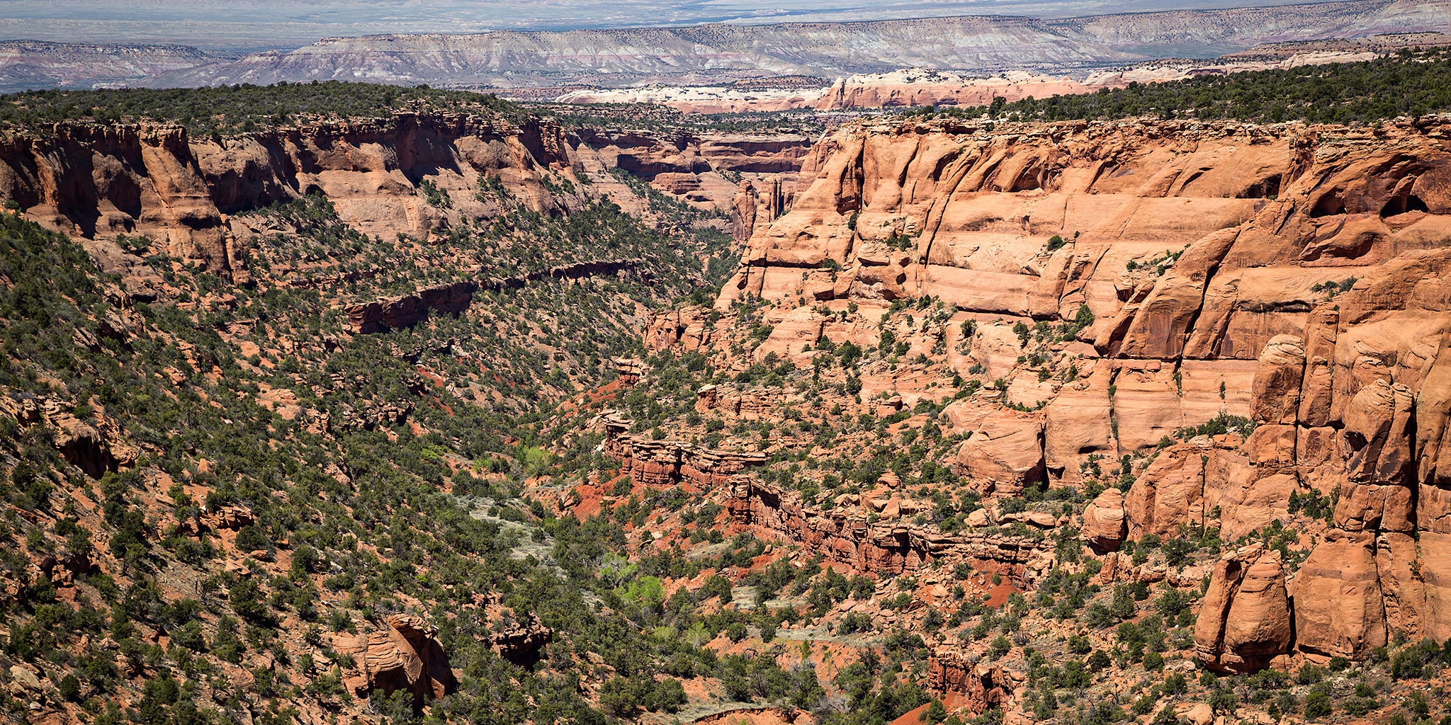
With all the traveling we’ve been doing lately, we decided to stay closer to home today and went on a moderate hike in the McInnis Canyons National Conservation Area. We hadn’t been back out this way since our overnight trip into Knowles Canyon last October so it was nice to get back. We had never been out around Jones Canyon before and thought that hiking the Jones Canyon Overlook Trail would be a nice introduction to the area since I hope to do more exploring out this way later in the year.

Leave a Comment