Sunday, February 8, 2015
After spending yesterday in Utah I decided to try hiking some new trails closer to home today. While I have been to the Black Canyon of the Gunnison National Park a number of times, I realized that I have completely neglected the Gunnison Gorge National Conservation Area just downstream. That sounded like a nice place to hike today, especially since I have been talking to my friend Jackson about running that stretch of the Gunnison River in the future. My original plan for the day was to start out by hiking down the Chukar Trail. This is a short one mile trail that descends 560 feet to the main boat put-in to run this stretch of the river. If you plan to run this section by boat, you either need to carry your gear down this trail or you can hire a company to have it packed down by mule.
Entering the Gunnison Gorge National Conversation Area outside of Olathe.
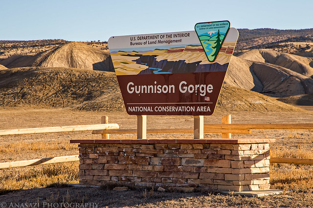
Gunnison Gorge NCA by IntrepidXJ, on Flickr
Following the Chukar Road to the trailhead.
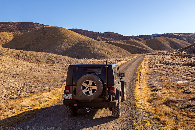
Chukar Road by IntrepidXJ, on Flickr
About two miles before the trailhead, the road descended a north-facing slope that still had ice and snow in places. While the road was frozen and easy to drive over this morning, I was concerned about the snow melting later in the day making it muddy and slick. I decided that I didn’t want to chance it today and turned around. It was time for Plan B.
For Plan B I drove back to the Peach Valley Road and followed it further north towards Delta. I turned off onto Ute Road and drove to the trailhead located at about 6,500 feet on the ridge above. This road was not north-facing and there was no snow, ice or mud to be concerned with. It was a little rough in places, so high-clearance is recommended. From this trailhead I would be following the Ute Trail down to Ute Park and the Gunnison River, about 1,200 feet below. It turned out to be about 4.2 miles each way.
Descending the one section of the trail that had a few constructed switchbacks with Smith Mountain in the background.
Smith Mountain by IntrepidXJ, on Flickr
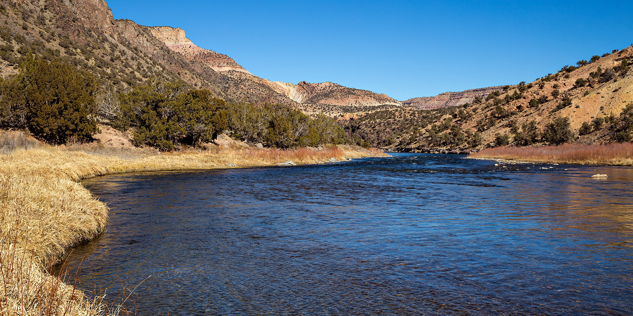
The Gunnison River flowing through Ute Park.
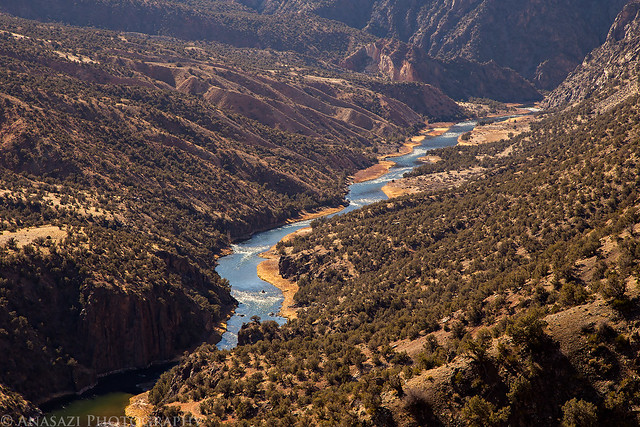
Ute Park by IntrepidXJ, on Flickr
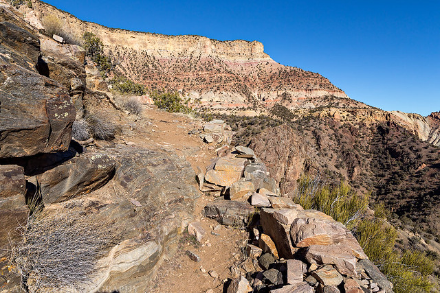
Following a ledge above the Gunnison River. On my way back there would be a few fishermen down in this section.
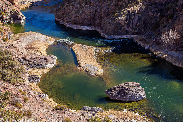
Green Water by IntrepidXJ, on Flickr
Almost to Ute Park.
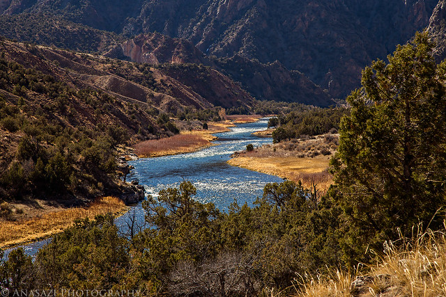
Into Ute Park by IntrepidXJ, on Flickr
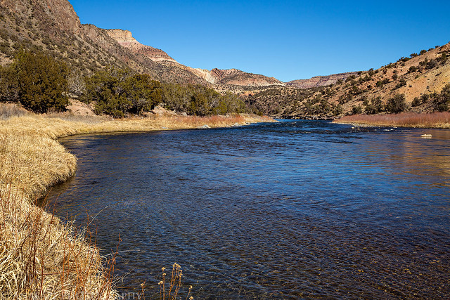
Finally along the bank of the Gunnison River.
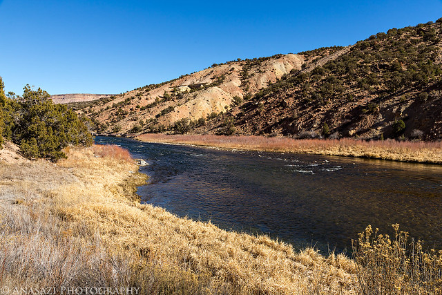
Ute Park View by IntrepidXJ, on Flickr
There are a few nice campsites in Ute Park for both hikers and boaters. I made sure to check them out while I was down here for future trip planning.
Gunnison River by IntrepidXJ, on Flickr
A look at the short constructed switchbacks that get the trail down to the river.
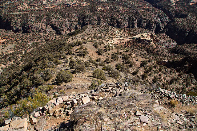
Switchbacks by IntrepidXJ, on Flickr
The deep gorge of Red Canyon on the other side of the river.
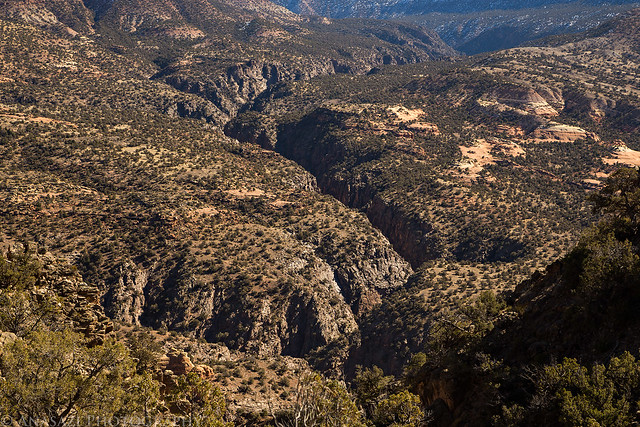
Red Canyon by IntrepidXJ, on Flickr
Almost back to the trailhead, I had a nice view of the West Elks to the east.
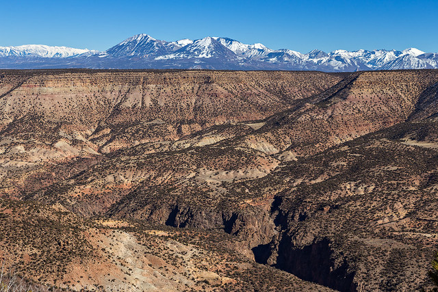
West Elks by IntrepidXJ, on Flickr
Even with the 1,200 feet of elevation gain on the way back out the trail wasn’t too difficult or strenuous. The trail was a pretty moderate grade the whole way and there were no very steep sections. I guess that’s why it took over 4 miles of trail to end up less than a mile away from the trailhead! This was a nice hike to help me start getting back into shape for climbing mountains again this year and the weather was absolutely beautiful out. It was a great way to spend half a day.