Press "Enter" to skip to content

Tag: google map

Devil’s Canyon

Sunday, April 10, 2016

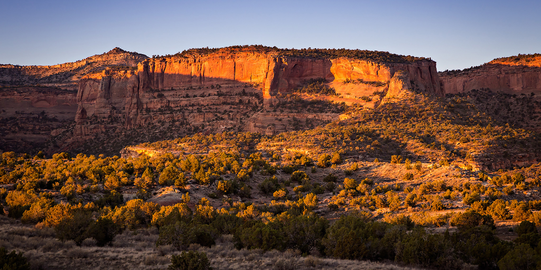
A hike into Devil’s Canyon is always a good way to spend a few hours on a Sunday afternoon. Since it rained for much of the weekend and I was able to get some work done on my Jeep on Saturday, Diane and I decided to go hiking in the McInnis Canyons National Conservation Area late on Sunday morning since it looked like the rain was done for a while. We hiked to the old cabin in Devil’s Canyon on the D3 Trail and then completed the loop back to the trailhead. As we started the hike, the creek in Devil’s Canyon was flowing from all the recent rain and it was also pretty humid out.

Leave a Comment
Colorado National Monument Western Loop

Colorado National Monument Traverse III
Sunday, March 20, 2016

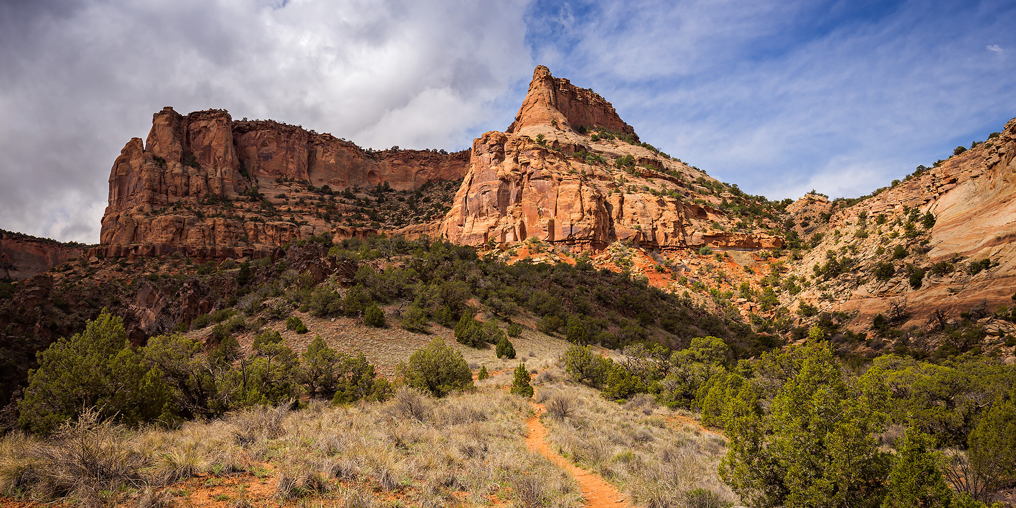
After our overnight hike along the Black Ridge Loop in the Colorado National Monument last year Diane had mentioned to me that she enjoyed the hike up the Fruita Dugway and wanted to hike it again, so this year I planned a different loop that included the Fruita Dugway, Black Ridge Trail, CCC Trail and then returned down Monument Canyon. It would make a nice 13.5 mile loop on the western side of the Monument. We dropped my Jeep off at the Lower Monument Canyon Trailhead shortly before sunrise and then drove over to the Fruita Dugway Trailhead and started climbing the trail as the sun was coming up for the day. The Fruita Dugway is probably one of my favorite and often overlooked trails in the Colorado National Monument.

Leave a Comment

Moore Fun East

Monday, March 14, 2016

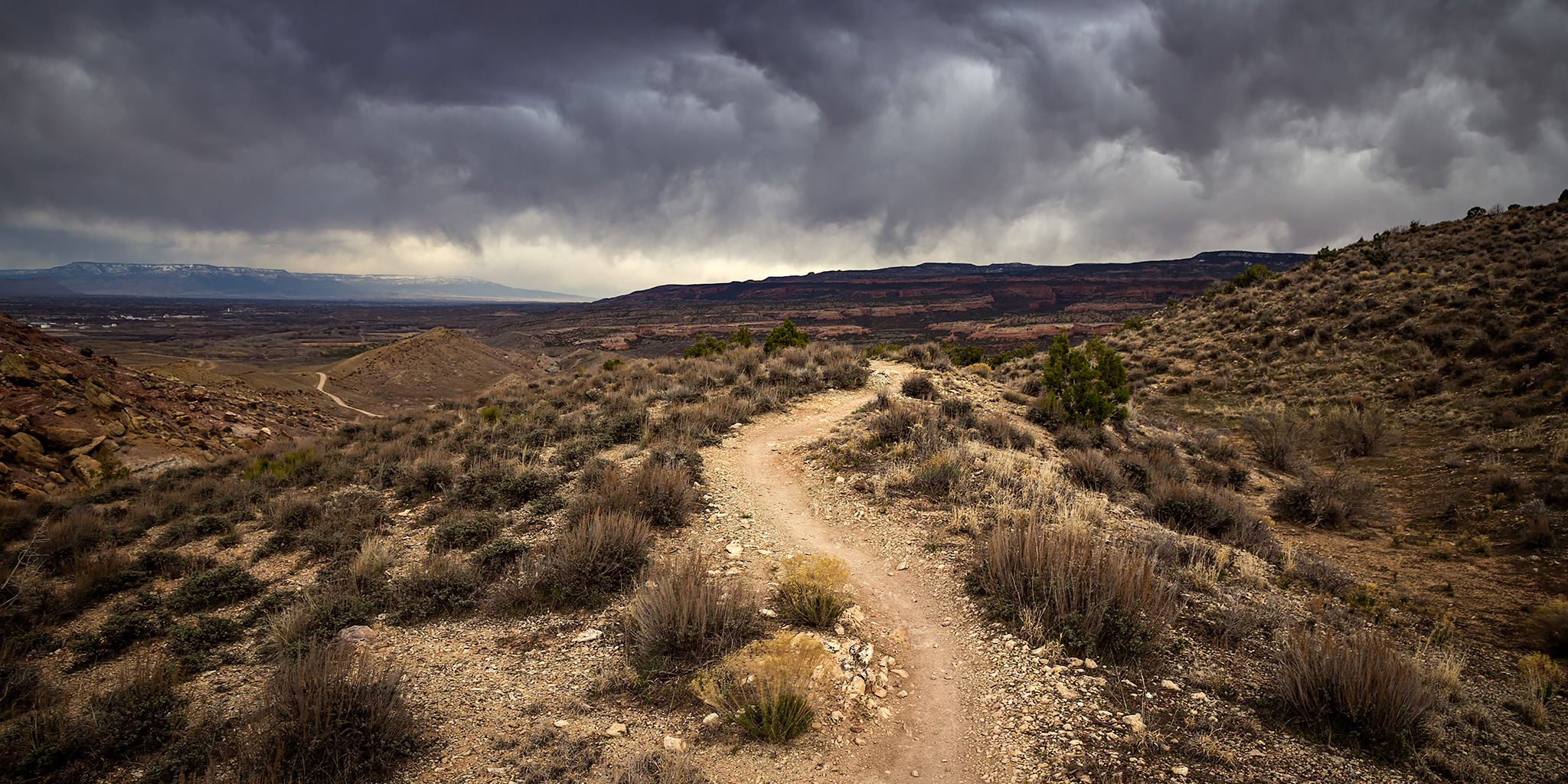
After hiking the west side of the Moore Fun trail last week, I headed back to the Kokopelli Trailhead after work this evening to hike the east side of the trail to it’s high point. While the trailhead was actually closer to the high point on this side, the trail was full of switchbacks and the length was a bit longer. With a storm moving across the valley it was very windy the entire hike but I did manage to miss the rain and I wouldn’t see the first raindrops of the incoming storm until I was almost home.

Leave a Comment

Kokopelli Loops: Steve’s Loop

Wednesday, March 2, 2016

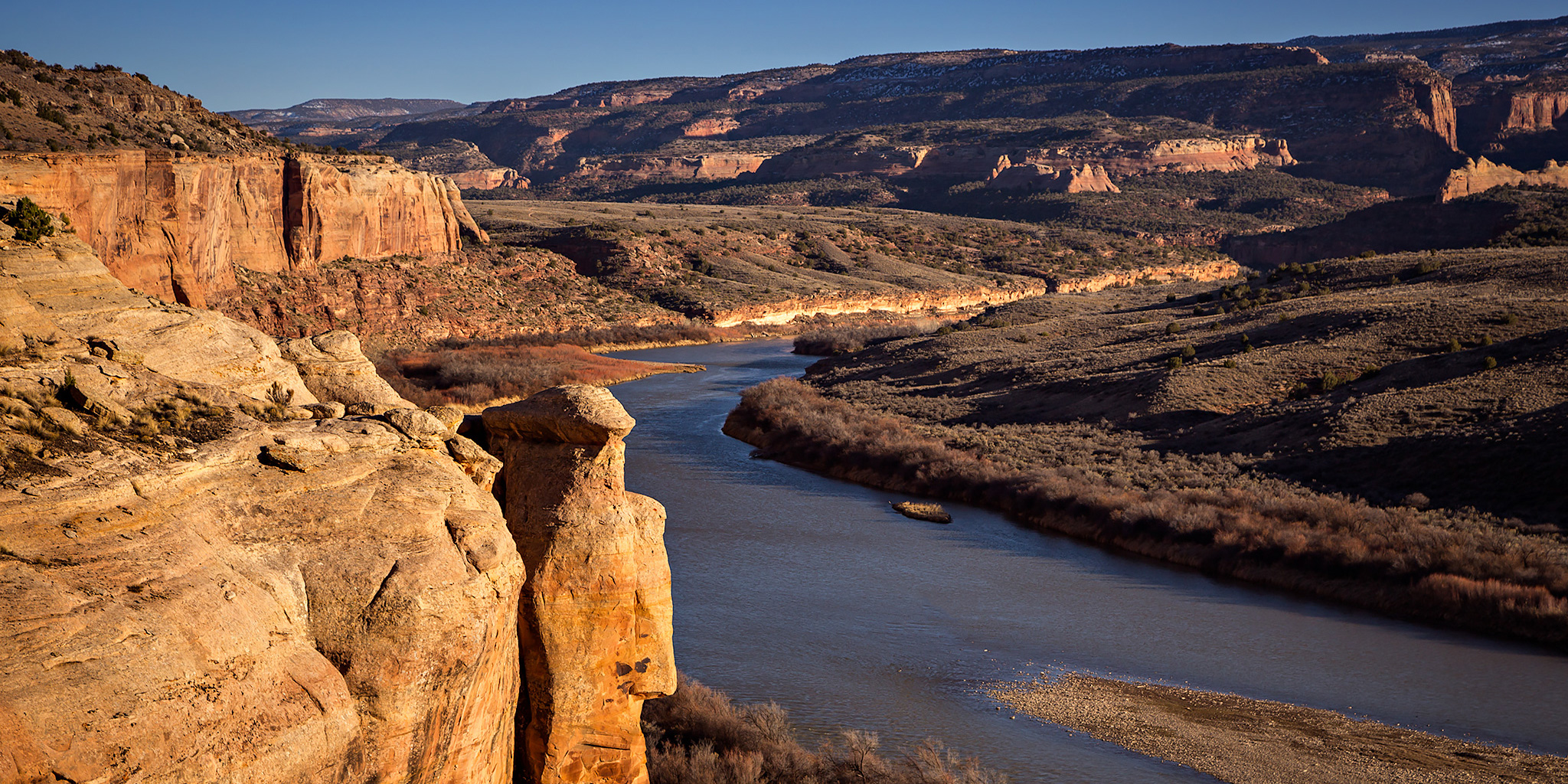
After hiking Mack Ridge on Sunday I’ve been motivated to continue hiking the rest of the trails in the Kokopelli Trail System near Loma that I have not been on before. With the weather being nice this week and days getting longer I decided to try and squeeze in a short loop after work today. After looking at a map I settled on Steve’s Loop since it looked like it would offer great views over the Colorado River near sunset and would be short enough to complete before it got dark out.

Leave a Comment

Mack Ridge

Sunday, February 28, 2016

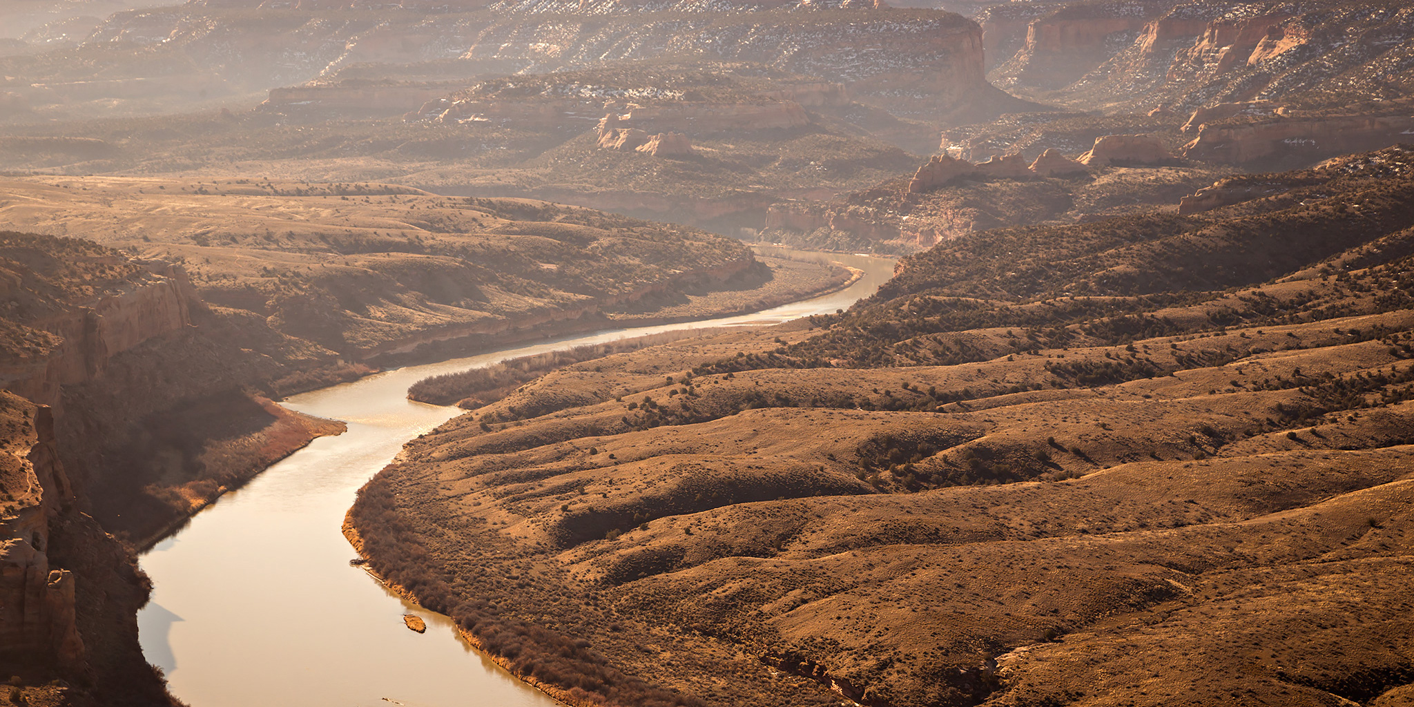
After spending Saturday at Arches National Park I decided to stay close to home on Sunday and just go on a short local hike in the morning. I was originally thinking about hiking in the Book Cliffs, but thought it still might be a bit too muddy there with the recent melting snow so instead I headed west to Mack to hike something in the Kokopelli Trail System. While I have ridden the Rustler’s Loop and Horsethief Bench trails on my mountain bike before, I have neglected hiking the other trails that are out there, especially the ones closer to Mack.

Leave a Comment