Moab Winter Weekend | Saturday – Monday, December 23-25, 2023
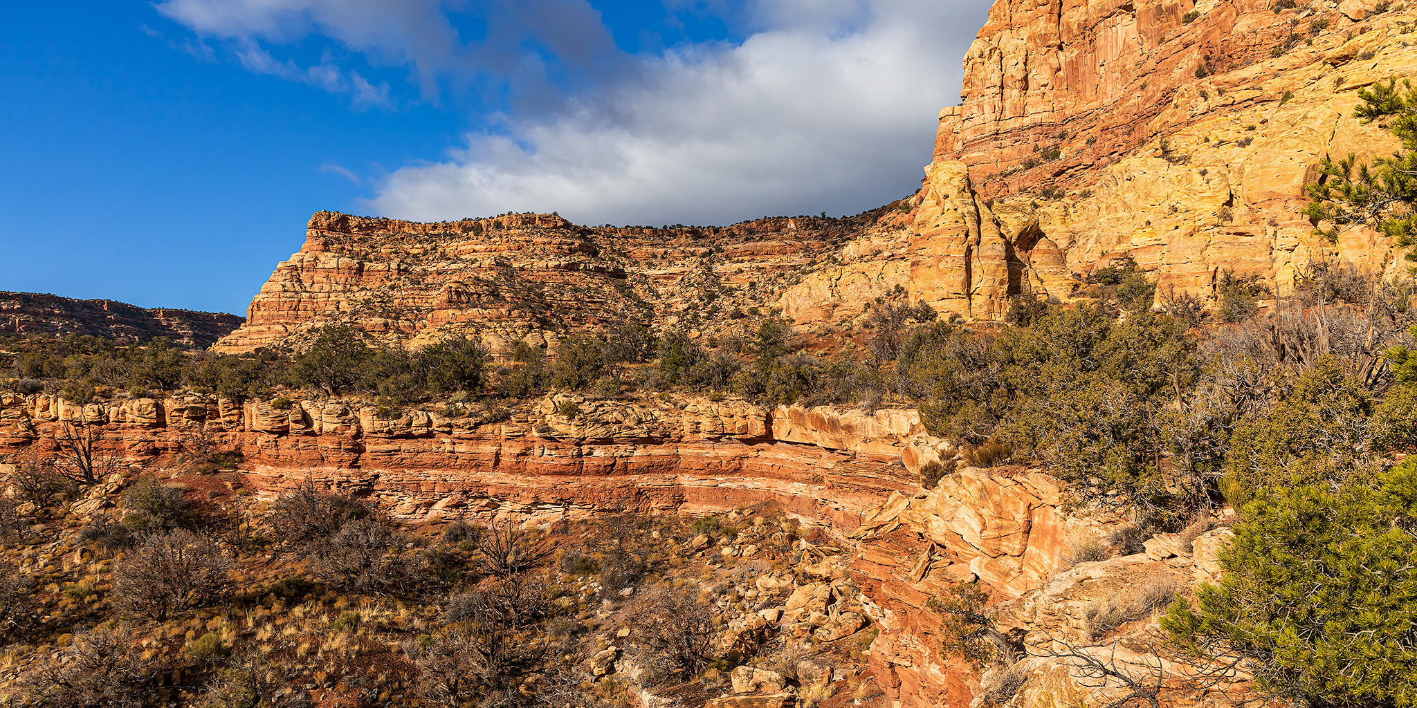
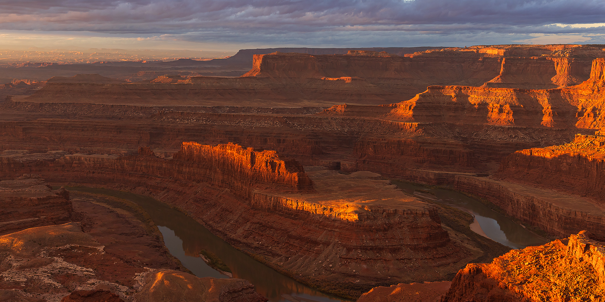
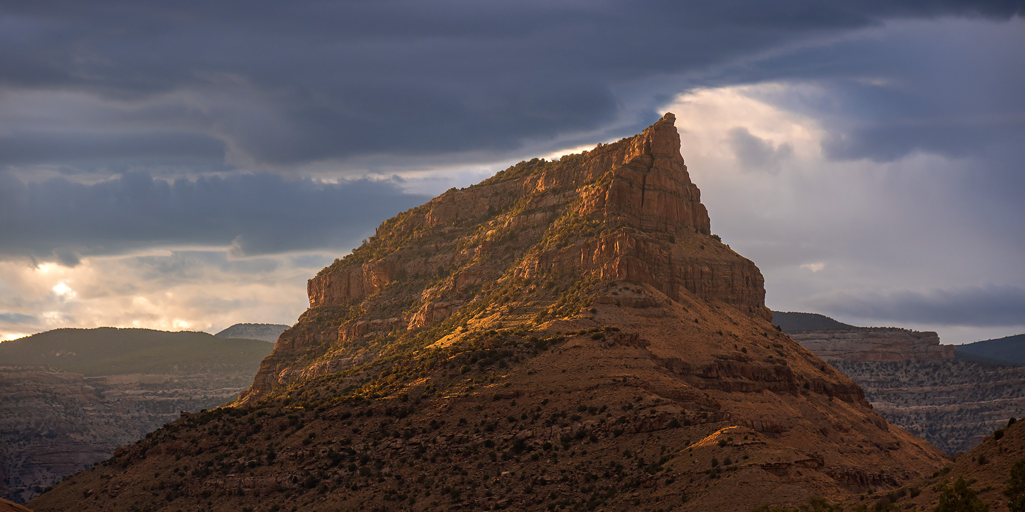
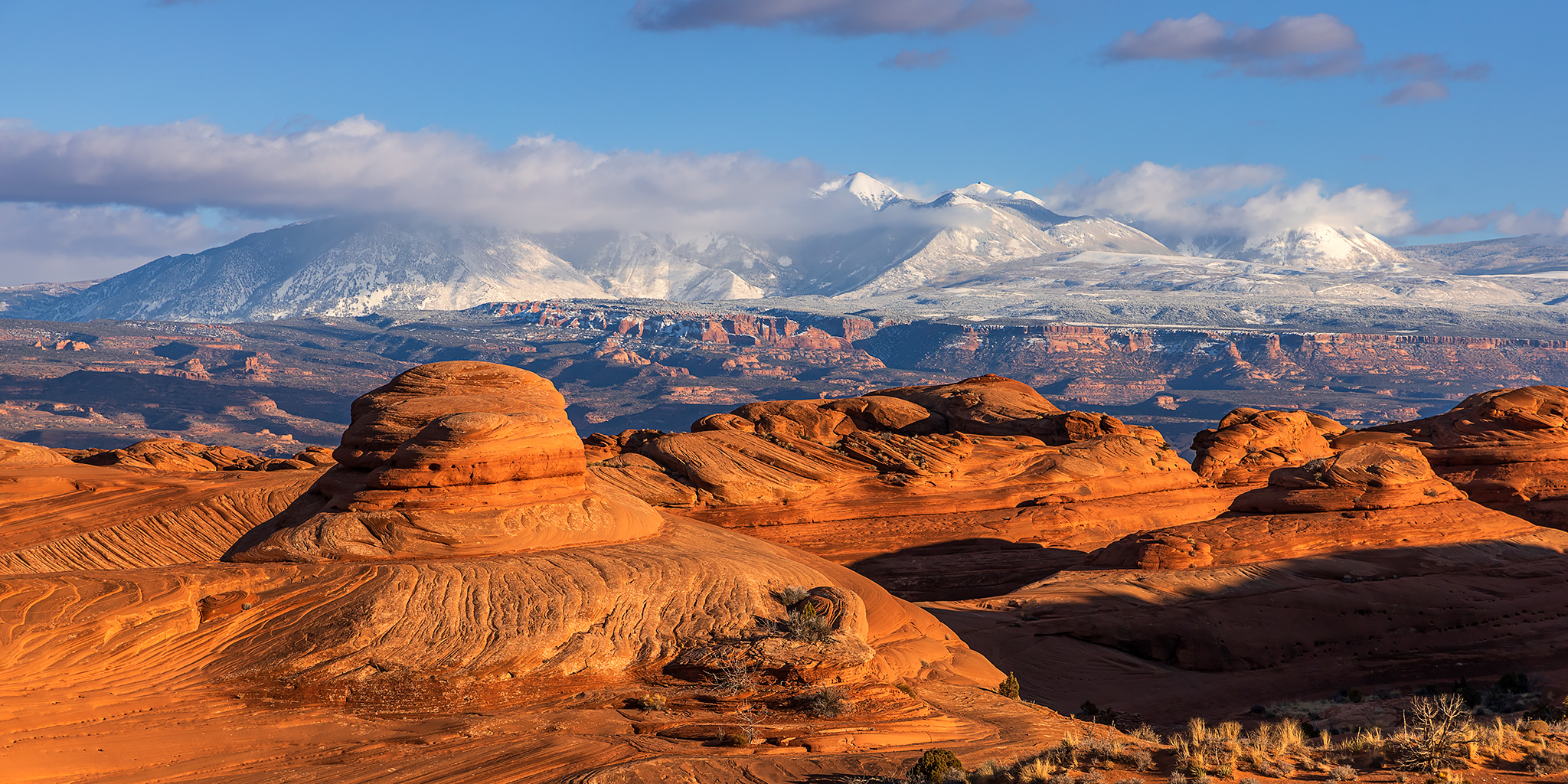
After spending last weekend exploring the sandstone fins on the east side of the Colorado River in the Sand Flats Recreation Area, it was time for me to head over to Arches National Park for the extended Christmas weekend. While I usually only spend Christmas Day in Arches and then bounce around the desert canyons surrounding Moab for the rest of the holiday weekend, this year I wanted to spend the entire three days within the park. Unfortunately, Diane would not be joining me this year since she was scheduled to work all weekend and on the holiday, so I would be on my own. I left home early on Saturday morning and drove straight to Arches National Park through a consistent rain the entire way with some fog in the lower lying areas.
13 Comments