After Work Adventures | Monday, July 15, 2024
Today I spent all day up on the Grand Mesa for work as we inspected three of the City’s largest dams with a drone. The project took us most of the day and since we finished around the time I would usually be heading home form work, I decided to stick around for a while to get a little hiking in on a segment of the Palisade Plunge Trail before I headed home for the evening.
The first dam we inspected was at the Somerville Reservoir.

The final dam of the day was at the Flowing Park Reservoir.

After our work was complete, I drove over to Shirttail Point to take in the view from an overlook near the trailhead.

I followed a short trail out to Shirttail Point.

Shirttail Point

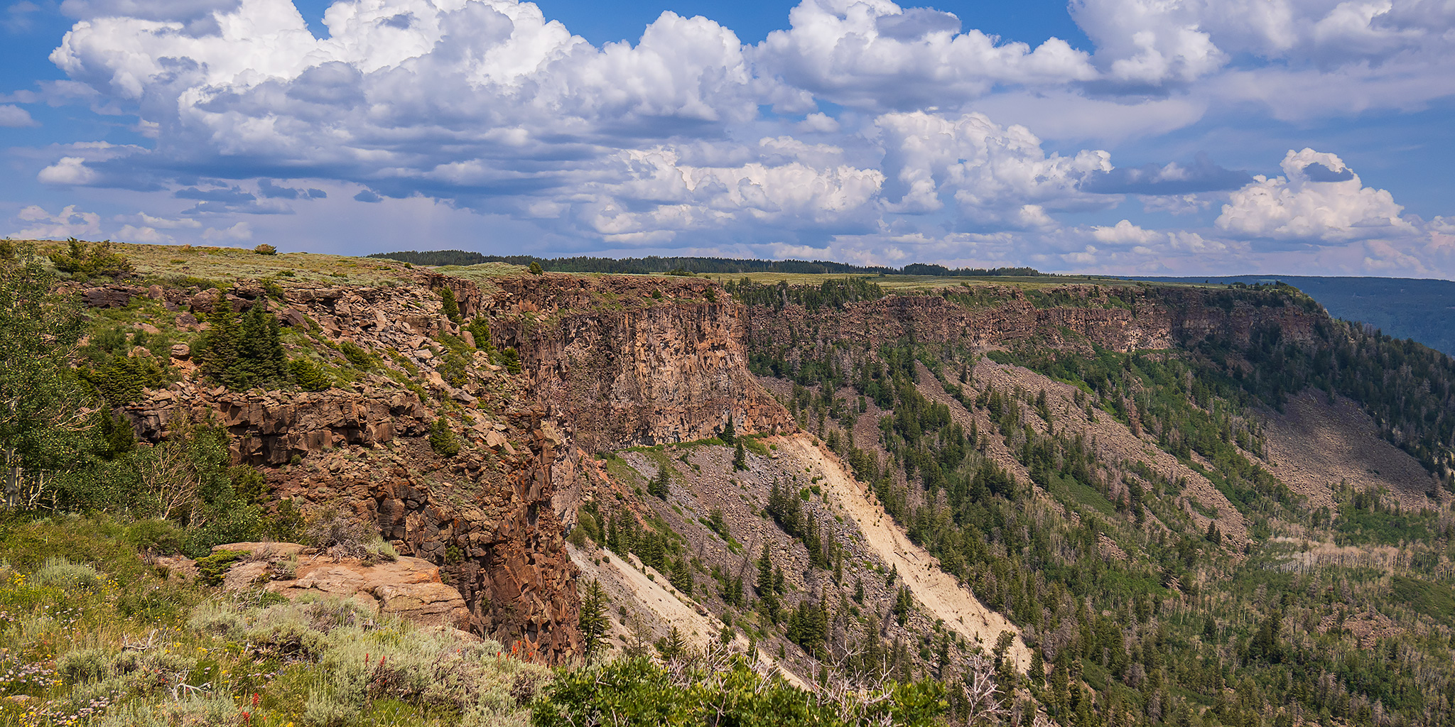
After returning from the point, I started hiking down the Palisade Plunge Trail (Wild Rose Trail) to Otto’s Wall on the edge of the Grand Mesa.

Over the edge of the Grand Mesa.

Looking back up after hiking down a series of steep constructed switchbacks.

Then I followed the portion of the trail that John Otto constructed by 1920, which is now known as Otto’s Wall.

Otto’s Wall

I was originally planning to hike all the way to where the trail meets Lands End Road, but there was a storm heading my direction and I started to hear rumbles of thunder, so I turned around at the first switchback below Otto’s Wall and headed back up.

Making my way back up to the switchbacks.

A view from the edge of the Grand Mesa.

Before starting my drive back home, I drove over to the point where Whitewater Creek plunges over the edge of the Grand Mesa.

Then I started my drive down Lands End Road. At this point I was considering stopping to hike the trail up to where I had stopped from where it meets the road, but when I reached the trail crossing I found a bunch of ‘No Parking’ signs up and down the road, so I gave up on that idea.

Here’s one final view from Lands End Road to Shirttail Point.
