Saturday, November 18, 2023
Although I originally had a different and more local trip planned for this weekend, which I’ll hopefully be able to get back to in early December, the weather forecast made me reconsider those plans on Friday since it was predicted to start raining on Saturday afternoon and continue all through Sunday. With a partly cloudy sky in the forecast for Saturday morning I decided to get up early and head on over to Dead Horse Point State Park where I would hopefully be able to catch a nice sunrise from the main overlook and then could spend the rest of the morning hiking the remainder of the trails in the park that I had not been on before, which consisted of a loop of the East Rim Trail and the West Rim Trail along with a couple of shorter spur trails leading to overlooks along the way. A few years back Diane and I had spent a nice weekend mountain biking all of the Intrepid Trails in the park and I’ve been meaning to get back to finish up the hiking trails, so I’ve been looking forward to a return visit. Here are some photos from my morning on Dead Horse Point!
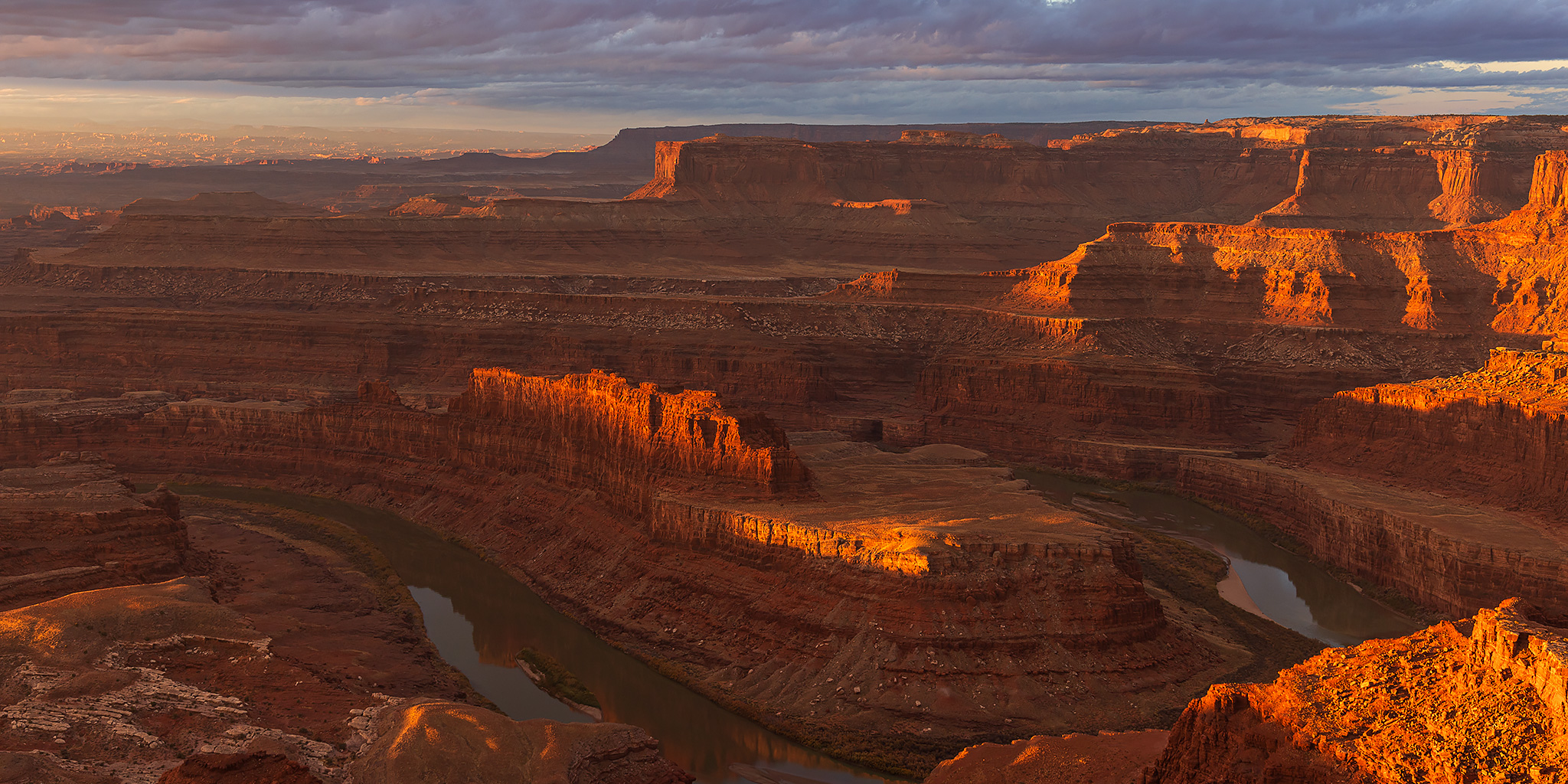
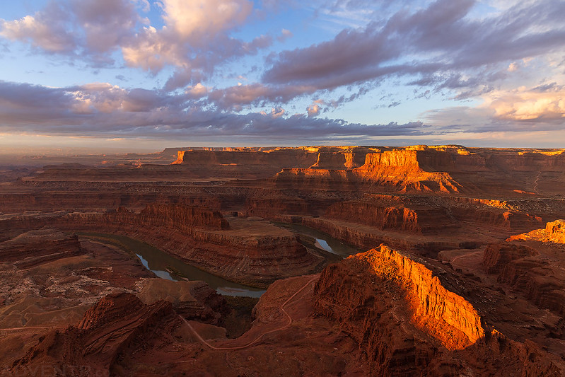
I arrived at the park about a half hour before sunrise and walked out to the main overlook so I could enjoy the views at dawn.
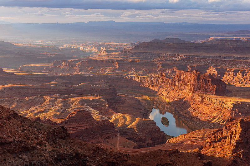
The Dead Horse Point Overlook
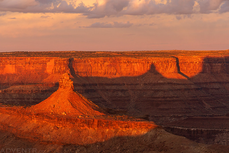
Soon, the first light of the day started to strike the rims of the surrounding canyons as the sun came up over the horizon.
Butte Shadow
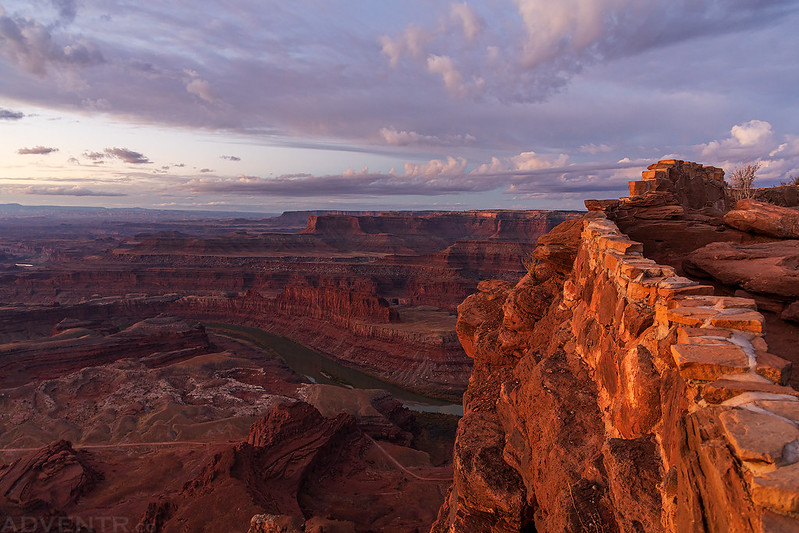
Once the sun was up I started following the West Rim Trail and planned to complete to full loop in a clockwise direction.
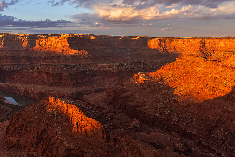
There were many opportunities to get close to the rim and enjoy the expansive views along the way. Can you spot the Shafer Trail coming down to the White Rim?
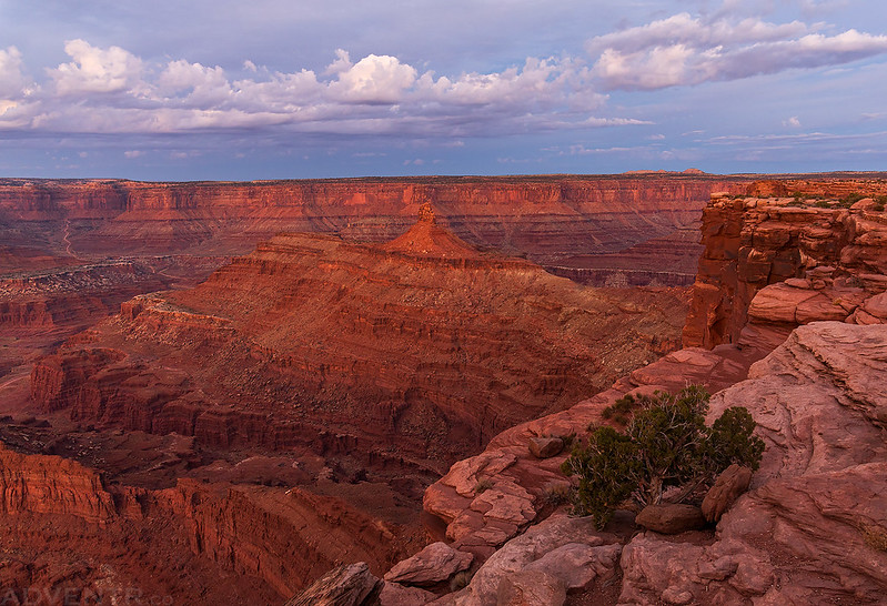
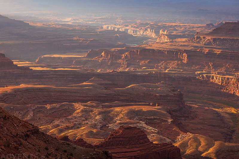
Looking across Canyonlands to Hatch Point, the UN Tablet and the Abajo Mountains, which are barely visible on the horizon.
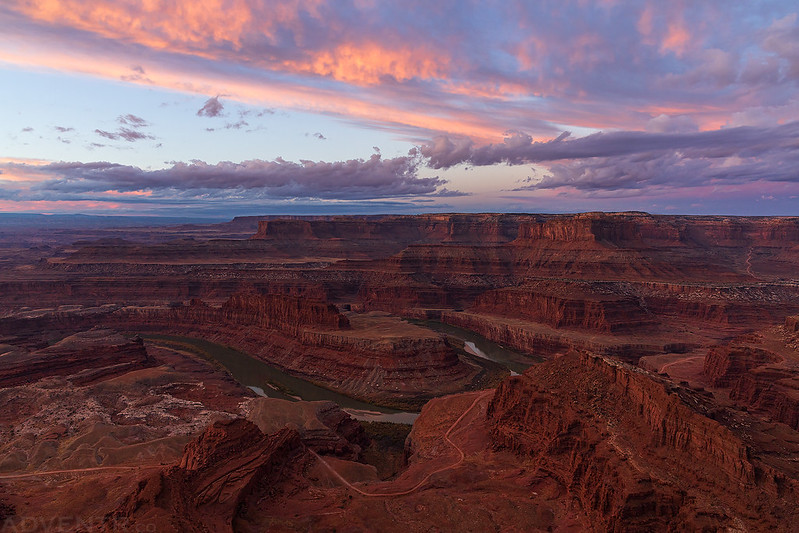
It turned out to be a very beautiful sunrise in Canyon Country this morning.
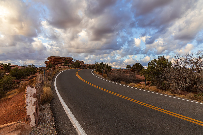
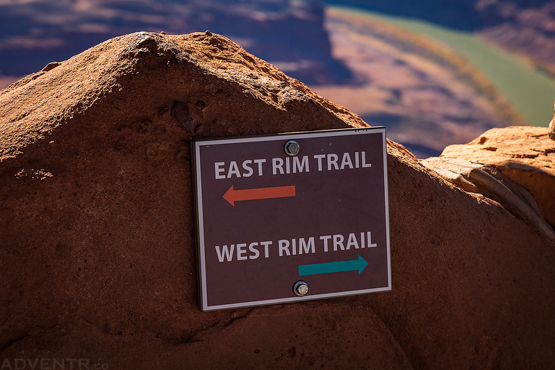
When I reached The Neck, I briefly crossed the road to the other side for a quick view from the East Rim Trail while the light was still nice.
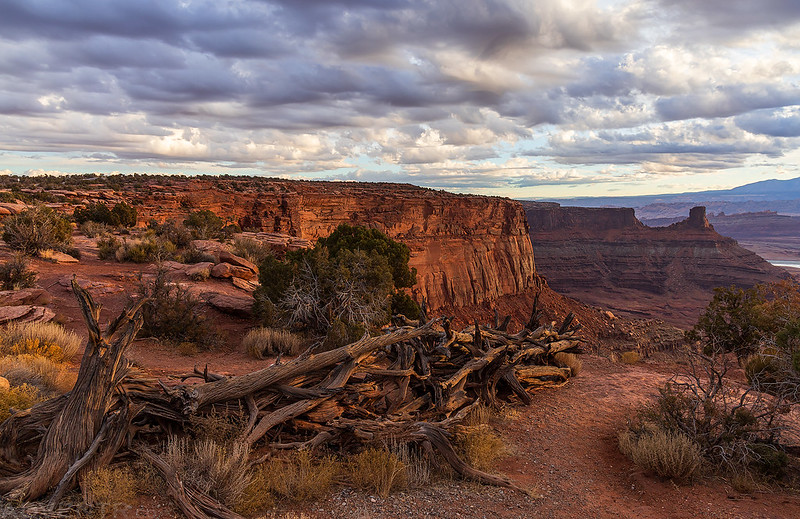
The old brush fence that is located at The Neck and was used to keep wild horses on the point.
Chimney Rock from The Neck.
Light Below the Clouds
I returned to the West Rim Trail and then continued on to the Meander Overlook.
A hazy view over Meander Canyon.
After a couple miles of hiking I followed the Bighorn Overlook Trail along the rim of the canyon.
The Bighorn Overlook
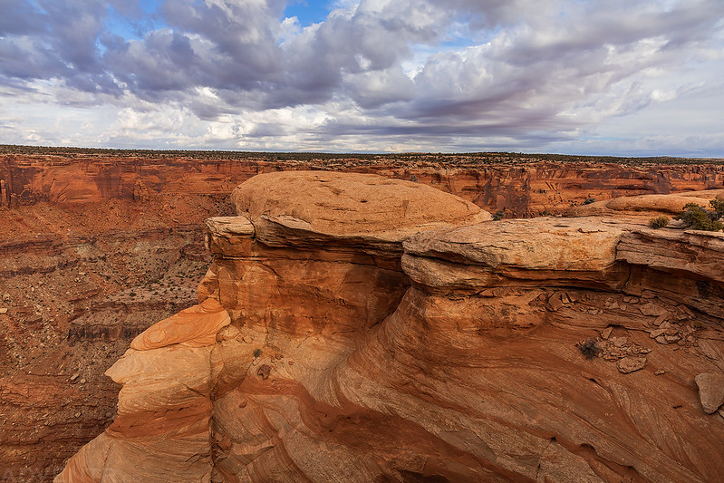
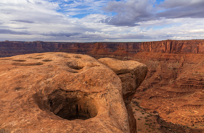
There were quite a few potholes at the overlook, some of them were pretty deep.
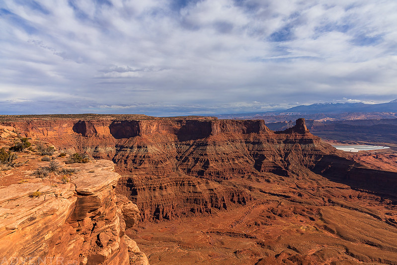
East Fork of Shafer Canyon
Bighorn Overlook View
Deep Pothole on the Edge
Following the Bighorn Overlook Trail back to the main loop.
By the time I reached the Visitor Center the sky had become mostly cloudy and overcast out, so I didn’t really take any photos from the Nature Trail, Desert View Trail and the East Rim Trail, but the sun did come out again when I reached the Basin Overlook.
I completed the entire loop where the two trails diverge near the main overlook and had hiked a little bit over 12 miles, which included all of the spur trails along the way.
It was getting close to noon when I returned to the main overlook and the park was getting a little too busy for me by now, so I headed over to Moab for lunch at Pasta Jay’s and then started my drive back home. It had been a nice way to spend a couple hours this morning and I’m glad to have now hiked and biked all of the trails at Dead Horse Point State Park!












Excellent photos. Thanks for sharing.
Looks like I might need to return later next year to hike new trails: https://moabsunnews.com/2023/12/14/new-access-to-old-site-at-dead-horse-point-state-park/