Mountain View Crest of the Weminuche Wilderness
Friday – Saturday, August 26-27, 2022
Since I was going to be leaving after work on Monday afternoon for a weeklong trip into northern Colorado and southern Wyoming, I wanted to be home on Sunday to make sure that I was prepped and packed for the trip, so that left me with only one day this weekend to get out hiking. My plans for last weekend had been thwarted by stormy weather in the high country, so I decided to retry part of those plans with a short hike into the Weminuche Wilderness from the end of the road on Lime Mesa between Silverton and Durango. As usual, I left right from work on Friday afternoon and headed south on the Million Dollar Highway and was able to watch the most recent storm system clearing out as I drove over Red Mountain Pass, Molas Pass and Coal Bank Pass through the heart of the San Juan Mountains. After reaching the very northern tip of the Animas River Valley I headed up the Missionary Ridge Road in search of a campsite to spend the night.
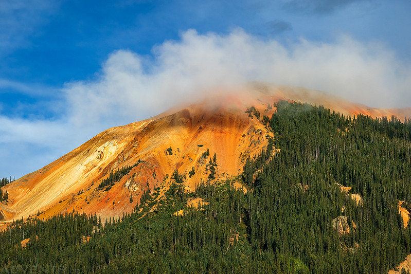
Red Mountain #2 coming out of the clouds near Red Mountain Pass.
Clearing clouds and a distant view of Engineer Mountain as I drove up onto Missionary Ridge.
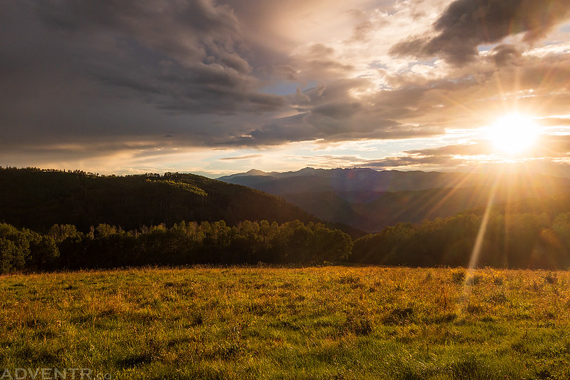
The evening sun slipping out between the clouds.
Following Missionary Ridge Road to Lime Mesa.
I drove past Henderson Lake just before sunset and stopped for a quick photo.
After following the rough road up onto Lime Mesa, I made it to the trailhead just after dark and found a place to camp nearby.
It was already dark out by the time I stopped at a campsite, so I got into my sleeping bag and went right to bed. I was a little concerned about Altitude Sickness hitting me again since I was camping at about 11,500 feet and the last time I camped this high I had to move to a lower elevation, but I had no issues this time and slept pretty well. It just goes to show there seems to be no rhyme or reason when or why Altitude Sickness decides to strike!
I was up before sunrise on Saturday morning and started hiking in the soft dawn light.
Following the Lime Mesa Trail toward the Mountain View Crest.
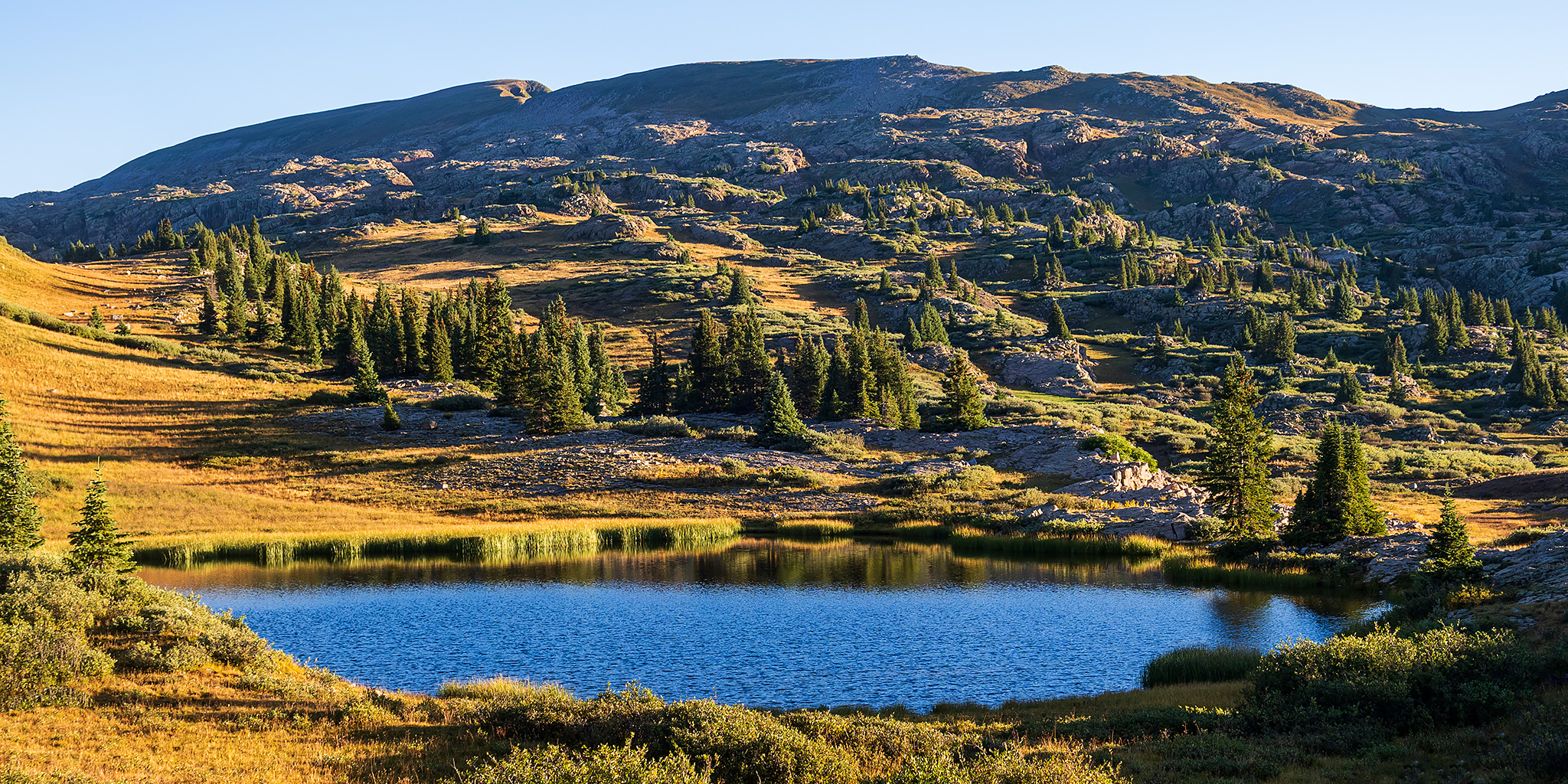
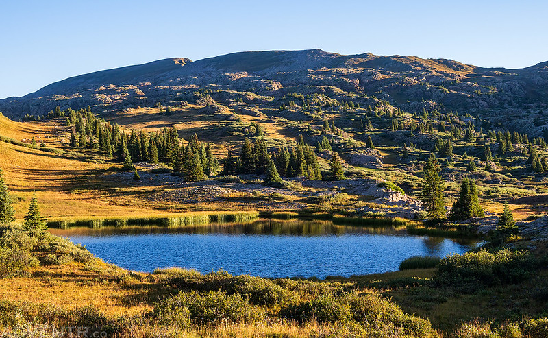
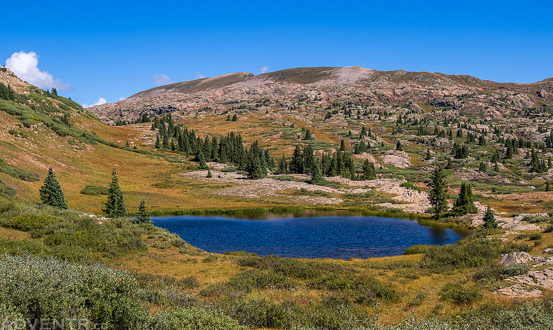
Shortly after leaving the trees I came over a hill and had a beautiful view over Dollar Lake to Overlook Point, which was my destination this morning.
I followed the trail past Dollar Lake and continued hiking up toward the top of the ridge.
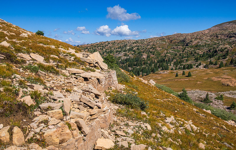
I left the trail as I neared the top and crossed the rocky tundra.
When I finally reached the top of the ridge I looked down and caught a glimpse of Ruby Lake below.
I continued following the edge of the Mountain View Crest.
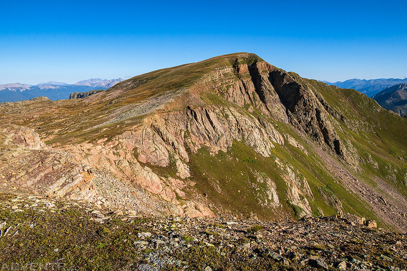
I soon had a good view of Overlook Point, which is listed on maps as being 12,998 feet, but was recently found to actually be 13,005 feet based on LidDAR data, and makes it one of the lowest 13ers in the state!
Overlook Point with Pigeon Peak (13,972), Turret Peak (13,835) and Mount Eolus (14,083) off to the right on the other side of Needle Creek.
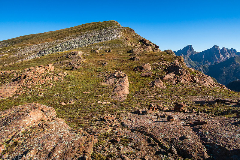
After dropping down to a saddle, I continued following the ridge to the summit.
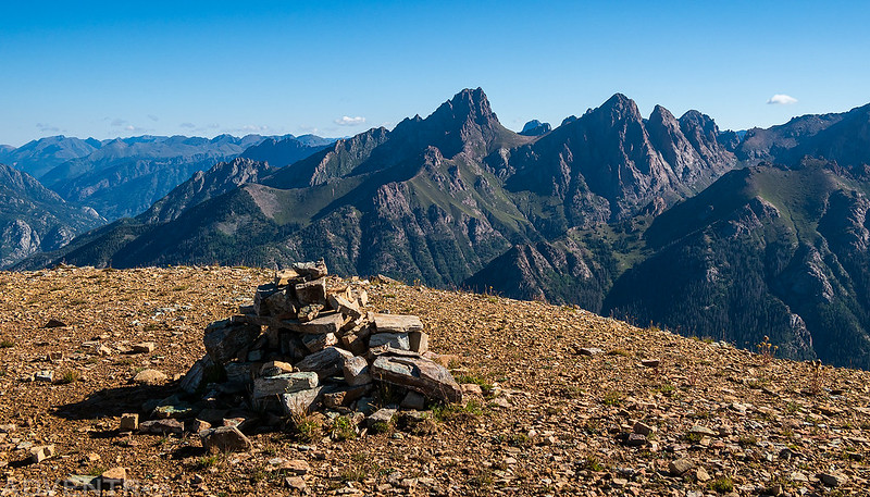
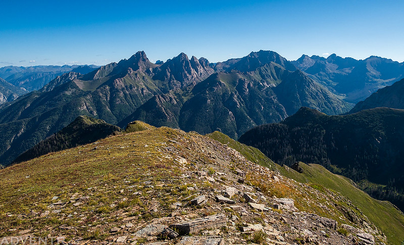
View from the summit of Overlook Point, my first 13er of the year!.
Off to the right is a hazy view of Chicago Basin which is surrounded by 14ers Mount Eolus (14,083), Sunlight Peak (14,065) and Windom Peak (14,095).
Looking northwest over the top of the Mountain View Crest to the San Miguel Mountains.
Ruby Lake
After enjoying the views for a while I started the hike back down to Lime Mesa.
I eventually caught back up with the Lime Mesa Trail.
Shortly before reaching Dollar Lake, I left the trail again and hiked to the highpoint of Lime Mesa.
The Highpoint of Lime Mesa (12,093)
While I was at the highpoint, I spotted a large cairn on the other side of the mesa and walked over for a closer look.
Then I returned to Dollar Lake as I made my way back to the trailhead.
Dollar Lake & Overlook Point
Nice clouds were starting to build as neared the trailhead.
After returning to my Jeep I started the drive back home.
