Fossil Ridge Recreation Area & Cumberland Pass Peaks
Saturday & Sunday, August 8-9, 2020
This weekend Diane and I headed over to the Sawatch Range near Pitkin so we could visit the highest Fire Lookout in North America, which is located on the summit of Fairview Peak at 13,214 feet. Last summer I spent a night in the Jersey Jim Fire Lookout Tower and since then I’ve been interested in checking out more of the fire lookouts in Colorado. The highest one in North America sounded like the perfect place to start, especially since I could hike a new 13er at the same time! While we were in the area we also planned to hike to the summits of a couple other peaks near Cumberland Pass so I could continue my Summer of 12ers! It’s been a long time since I spent much time around Cumberland Pass, and to be honest, I don’t really remember being that impressed with the area when I drove through, but I was probably in a hurry to get elsewhere at the time, so I was looking forward to spending a little more time exploring this part of the Sawatch.
We left home after breakfast on Saturday morning and drove to the small town of Pitkin with one quick stop for fuel as we passed through Gunnison. After passing through Pitkin we turned off onto the road that follows Middle Quartz Creek in search of a campsite for the night. After a couple of miles we found a pretty nice spot with a view of Fossil Ridge to the west and got our tent set up. Then we returned to the main road and drove up to the top of Cumberland Pass so we could hike to the summit of Napoleon Mountain (12,563) as a warm up. Although we started hiking later in the morning, I wasn’t too concerned about the weather this afternoon since there was only a slight chance of storms and it was a pretty short hike.
Looking back over Cumberland Pass to Green Mountain as we started hiking to Napoleon Mountain.
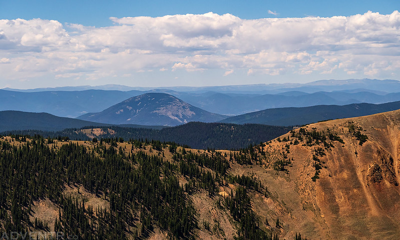
There was a good view of Tomichi Dome (11,465) from up here.
It was easy tundra walking along the ridge for most of the way with views of Fitzpatrick Peak (13,112) on the other side of Napoleon Pass.
The final rocky hike to the summit of Napoleon Mountain.
Almost to the summit…
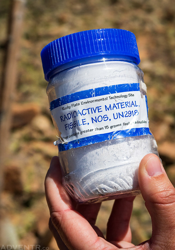
An interesting warning on the summit register container.
The view from the summit of Napoleon Mountain looking north to Ice Mountain (13,951) and La Plata Peak (14,336) and the rest of the Collegiate Peaks.
Headed back down to the pass from the summit.
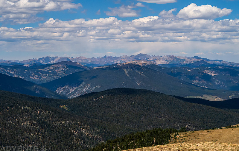
Besides the views of the Collegiate Peaks to the north, the La Garita Mountains were visible to the south including San Luis Peak (14,014).
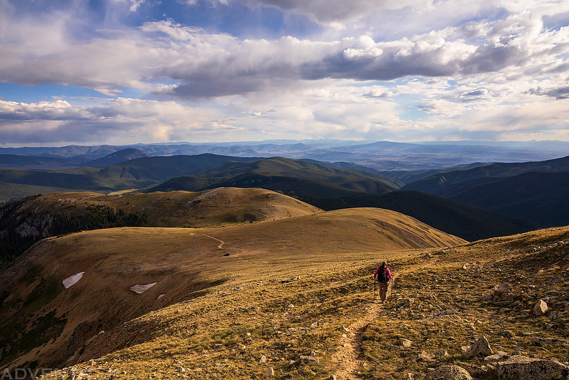
Diane follows the ridge back down to Cumberland Pass.
The little town of Tincup was visible below on the other side of the pass near Taylor Park.
We could also see the Elk Mountains off in the distance. Castle Peak (14,265) is the high point to the right of the center, and we are planning on spending next weekend close to that area.
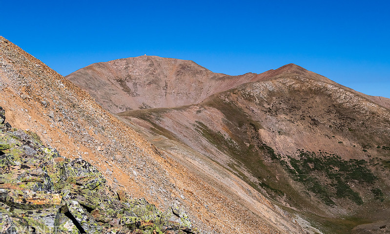
There was a nice view of Fairview Peak from the pass and the Fire Lookout on top was visible. That was our next destination, so we started heading that way.
After returning to my Jeep we drove back down from the pass and back to Pitkin so we could start heading to Fairview Peak. We drove up the steep road to Fairview Peak and stopped at the Fairview Mine to checkout the old mining ruins and visit the summit of Terrible Mountain, which was just a short walk from there. Shortly before reaching the mine there was one sketchy part of the road that Diane didn’t like, so she got out of the Jeep and walked ahead as I drove through the narrow and loose part of the road.
I walked over to the summit of Terrible Mountain (12,100) which offered a nice view over Gold Creek to the peaks of Fossil Ridge.
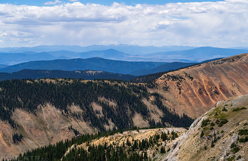
From the summit of Terrible Mountain I could see across to Fossil Mountain (12,749), Square Top Mountain (12,985), Henry Mountain (13,254) and Broncho Mountain (12,834).
Upper Gold Creek
This old mine was just below the summit of Terrible Mountain.
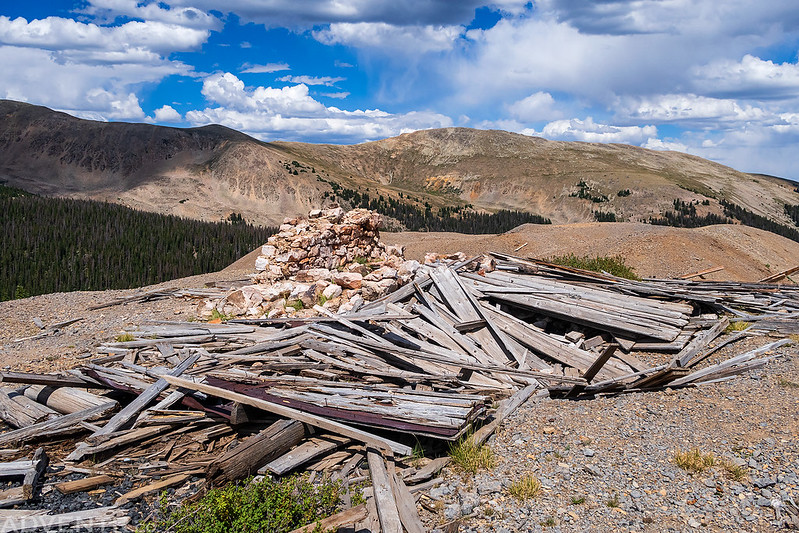
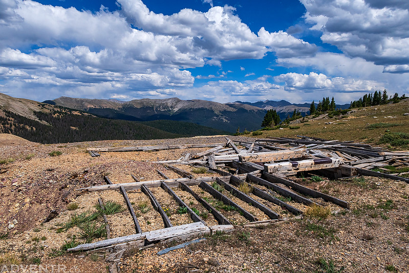
We returned to the Fairview Mine and walked around to explore the ruins for a little bit.
Pile of Cans
When we were done exploring the mining ruins we finished driving to the end of the road below Fairview Peak. It was still a little early in the afternoon when we arrived at the trailhead, so we waited out of the wind in my Jeep for a little while to make sure the possibility of thunderstorms had passed and so that we would be on the summit later in the evening when the light was a little nicer. Although it was windy and there were still a lot of clouds in the sky when we finally started hiking, it didn’t look too threatening out. I guess that’s one of the benefits of the poor monsoon season we are having this year.
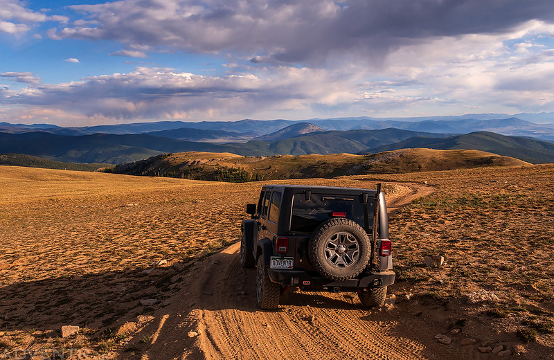
At least we had a nice view while we waited in my Jeep to start hiking later in the evening.
We had a nice view to Monumental Peak (13,369) along the Continental Divide with Mount Aetna (13,745) behind it.
The sky and light was looking nice this evening.
One large cairn along the trail to the summit.
The Collegiate Peaks over the ridge.
Once we neared the top of the ridge we got our first view of the Fire Lookout on the summit.
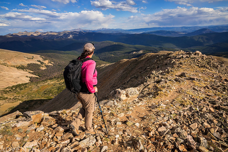
Diane hiking up the summit ridge.
Path to the Fire Lookout
Almost there…
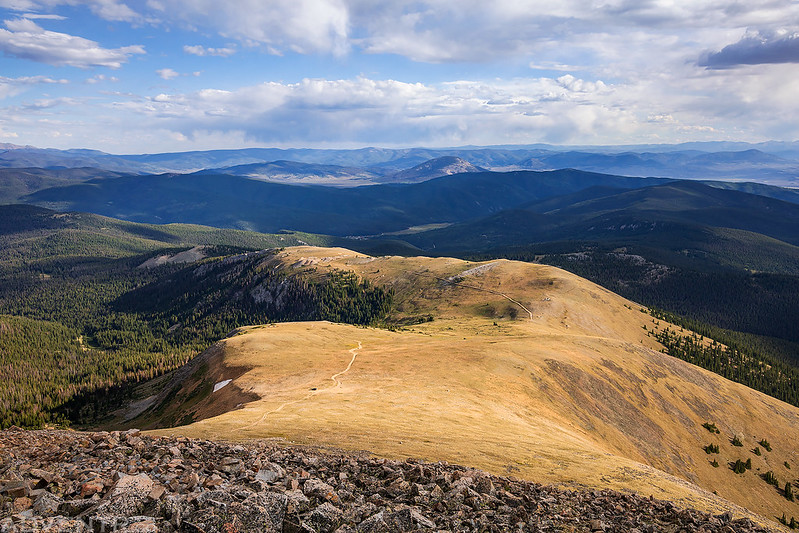
Overlooking Green Mountain and Cumberland Pass to the Continental Divide.
Soon we found ourselves standing in front of the highest Fire Lookout in North America on the summit of Fairview Peak with an amazing view surrounding us in all directions. This also happens to be my first 13er of the year, too! That post in the foreground was for the old telegraph line that went down to Pitkin. There were a number of them along the trail.
Here is a little bit of information about the history of the Fairview Peak Fire Lookout and future restoration plans from the Forest Service’s website:
Fairview Peak Fire Lookout, a one-room stone hut, is located in the Fossil Ridge Recreation Management Area outside of Pitkin in the Gunnison National Forest. The Lookout is the highest fire lookout in North America, at 13,214 feet elevation, and was constructed around 1912, just seven years after the Gunnison National Forest was established. It contained a cupola with windows providing a 360-degree view of the surrounding land to a person standing on a small platform inside. A plane table, fire map and alidade were never used at the lookout; however a telegraph line was constructed from the town of Pitkin to the top of the peak, a distance of approximately 10 miles. The tower was manned at least until 1916, this is the last record found detailing work at the lookout. Likely the beginning of the World War ended the period that this lookout was manned.
In the 1960’s, the Forest Service converted it to a radio repeater station, removing the cupola from the roof and installing grounding wires, and still the lightning was too much. In 2008, the U.S. Forest Service began the stabilization and restoration of the fire lookout. Over the first 6 years the masonry and roof was worked on with U.S. Forest Service funds and a grant from FFLA Colorado / Utah Chapter. In 2015 with help from Historicorps the cupola was rebuilt on top of the stone structure. Future work includes finishing trim, painting and installing ground wires. Each year dozens of hikers take the 45-minute hike to the top to take in spectacular views of the La Garita and Collegiate Ranges, and the Continental Divide country.
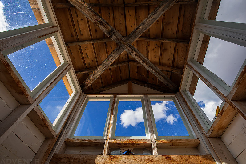
A view looking up from inside the cupola.
Doorway to the Mountains
The Fairview Peak Fire Lookout
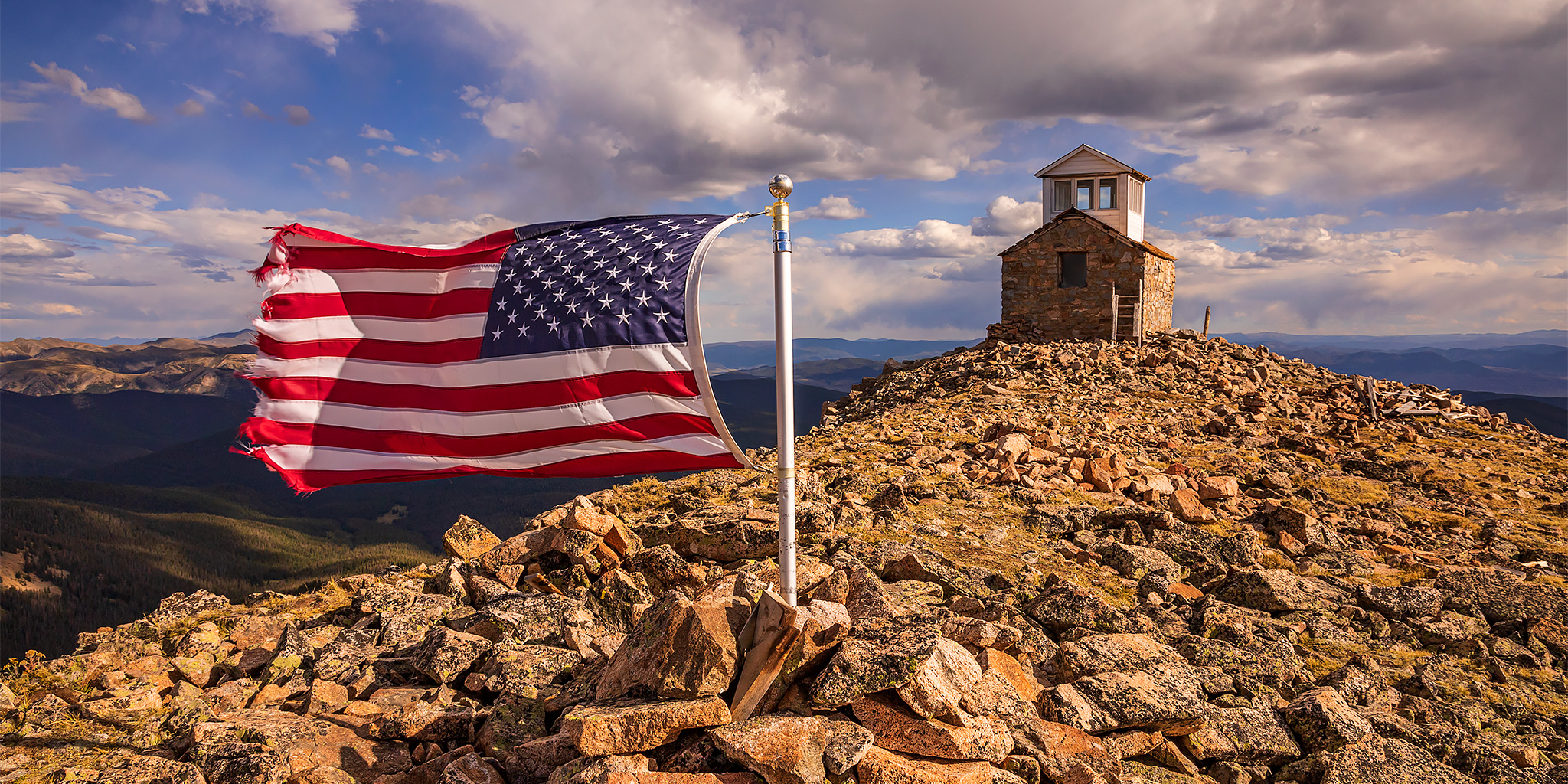
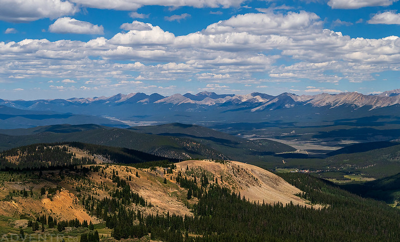
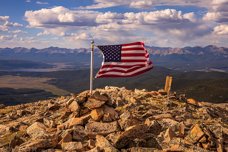
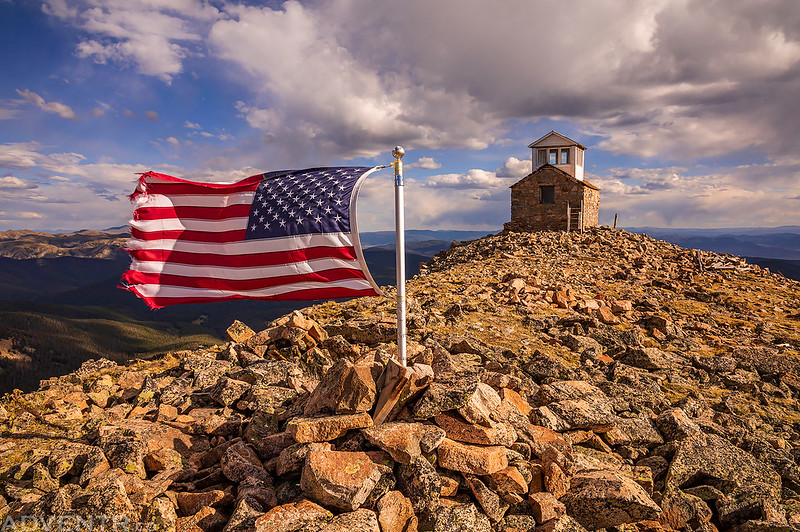
There was a flag on the summit blowing in the wind. Taylor Park and Taylor Reservoir are visible in the background.
The American Flag & Fairview Peak Fire Lookout
Dappled light on the landscape around us.
Of course, I took a short video of the flag flapping in the wind.
We stayed on the summit for a while since we had it all to ourselves and the conditions were spectacular, but all too soon it was time to start hiking back down. I had considered sticking around for sunset, but I really didn’t want to drive down that one sketchy part of the road in the dark, so I though it was best if we made it down while it was still light out.
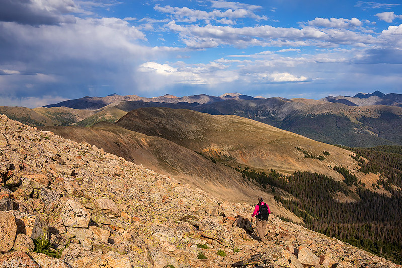
Diane hiking down ahead of me.
An nice evening view of Tomichi Dome, and if you look closely you can see Pitkin past the Fairview Mine.
The trail was a little rocky, but it was a good trail the entire way.
Returning to my Jeep parked at the trailhead below.
Sawtooth Mountain (12,147) was visible in the distance.
The final stretch back to the Jeep.
One last look back at Fairview Peak before we started headed down to camp for the night.
Fairview Peak Road
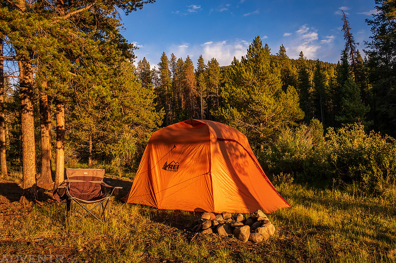
After hiking back down from the summit we drove back through Pitkin and returned to our campsite, just in time to catch the warm evening light illuminating our tent for a few minutes before the sun disappeared behind Fossil Ridge. We had a late dinner and then got into our sleeping bags a little while later. We had an amazing day at the edge of the Sawatch Range!
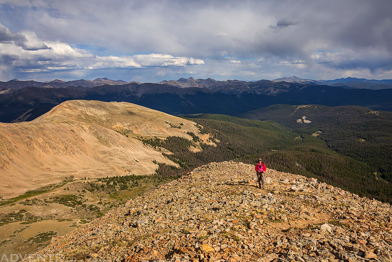
We both slept well overnight and decided to sleep in until shortly after sunrise on Sunday morning since I only had plans to hike one more quick peak from Cumberland Pass before we headed home. The forecast overnight called for a low temperature of around 50 degrees, so we were a little surprised when we got out of our sleeping bags and it was 33 degrees out. We packed up our tent and then drove up to Cumberland Pass for the second time this weekend. As we drove higher the temperature increased and it was already over 50 degrees at the pass. This time we hiked west of the pass and up to the summit of Green Mountain. Diane waited for me below at the saddle while I climbed the rocky ridge to the summit by myself.
Cumberland Pass with Fairview Peak in the background.
Following the old mining road to Green Mountain (12,696).
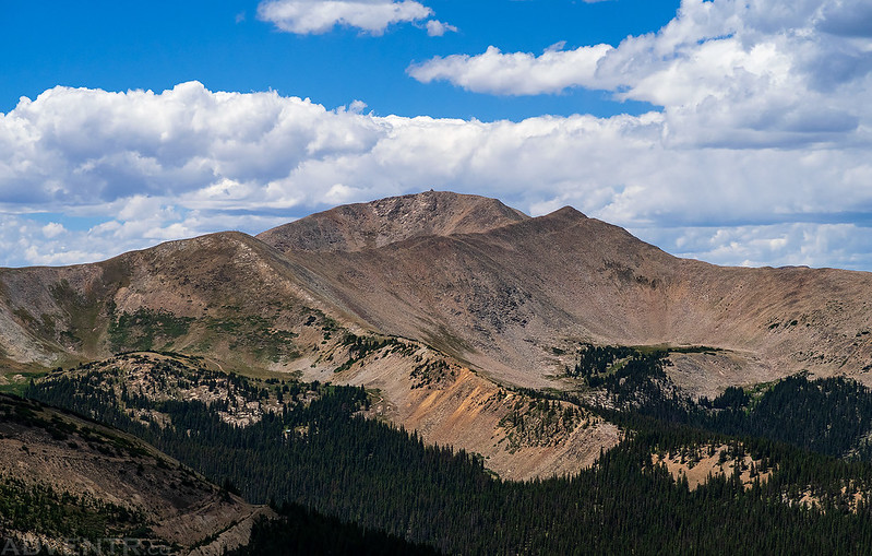
Just another view of Fairview Peak as I climbed the ridge of Green Mountain.
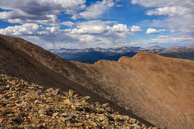
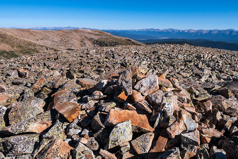
The view from the rocky summit of Green Mountain.
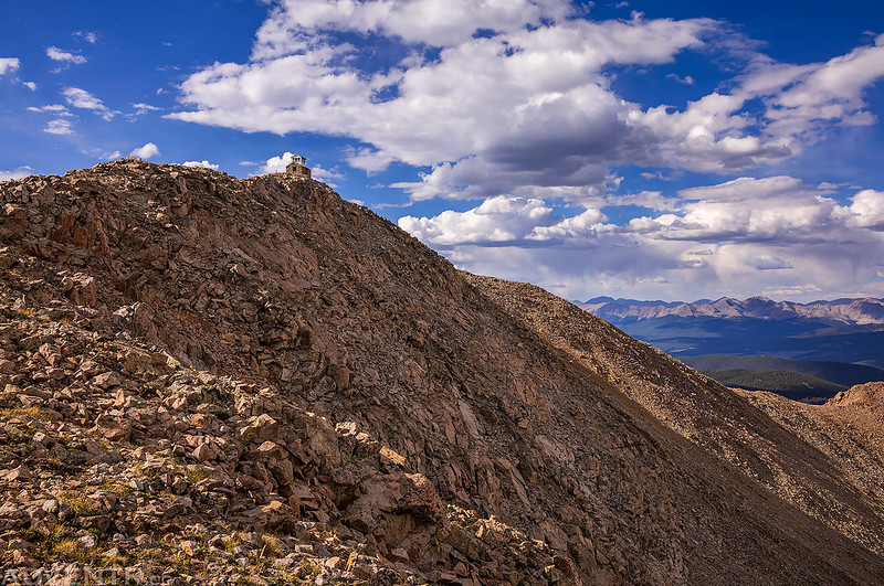
One final parting shot of Fairview Peak from the summit before I started back down.
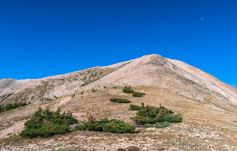
The moon was above as I descended the rocky ridge.
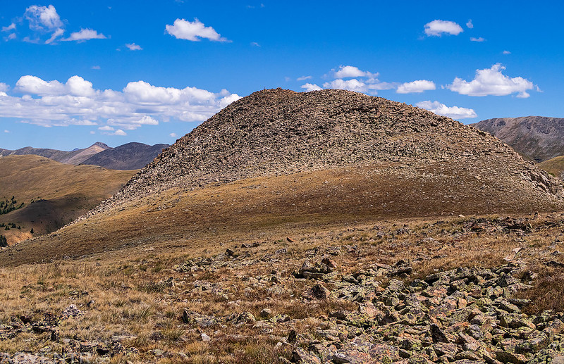
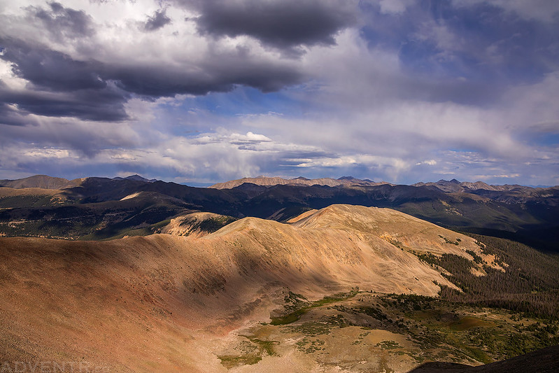
Here’s one last view of Green Mountain from where I met up with Diane again at the saddle. We finished hiking back down the road to my Jeep and then headed home. It was another nice easy weekend in the mountains with some amazing views and history!
