Fuller Bottom to the Swinging Bridge
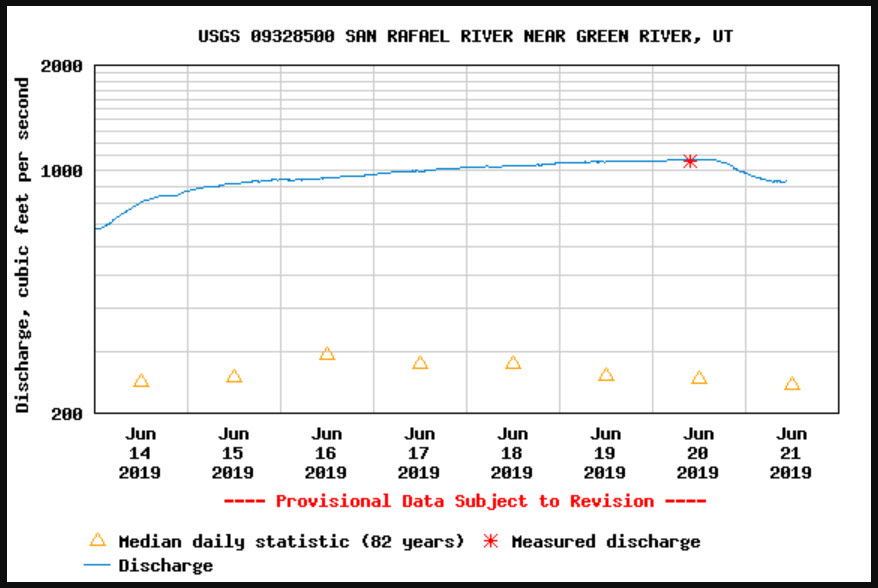
Friday – Sunday, June 21-23, 2019 | Average CFS: 968
When I decided to float The Chute of Muddy Creek a couple of weeks ago I thought at the time that I was making a decision between doing that or floating the San Rafael River this year. I really didn’t think that the San Rafael River would have enough water left for me to float it later this month and I had already made plans for last weekend’s trip through Slick Rock Canyon. I was very wrong about that and was surprised to see that it was still going to be flowing very high again this weekend, so I asked my friend Jackson if he wanted to join me on a day-trip through the Little Grand Canyon. I had talked to him a number of times over the years about floating this section of the San Rafael River and he was definitely up for going with me this time. This would be a great opportunity for us to float through the newly-created Sids Mountain Wilderness area.
I kept an eye on the water level of the San Rafael River all week and it seemed to steadily rise until it was just over 1100cfs, which was a little higher than I would have liked. I really didn’t want a repeat of the Dolores River trip! However, two days before our trip the water level finally started to fall a little bit. By the time we got on the river on Saturday morning the gauge was reading just below 950cfs, which I think was a good level for a day-trip in an inflatable kayak.
At this point our plans were set and we were looking forward to the trip, however at the end of the week the weather changed significantly. A storm front moved through the area on Friday that dropped the temperature significantly for this time of the year, but thankfully it looked like the storm would be out of the area before Saturday morning. I was a little worried that the temperature was going to be too cold for the trip, but hoped with the sun out it wouldn’t be too bad.
As usual, I left after work on Friday and then met up with Jackson and his son in Green River where they had stopped for a quick dinner. We finished the drive on I-70 into the San Rafael Swell and then headed north to Buckhorn Wash where we found a campsite at the mouth of Calf Canyon. It’s kind of funny, I have driven through Buckhorn Wash many times over the years but this was actually my first time camping in the canyon. As we drove over the San Rafael River we stopped to checkout the takeout and to see what the river looked like. From the bridge it looked like it was moving pretty swift but was at a good level for a day-trip through the canyon.
We found an open campsite at the mouth of Calf Canyon along Buckhorn Wash.
Setting up camp as the sun came out before sunset.
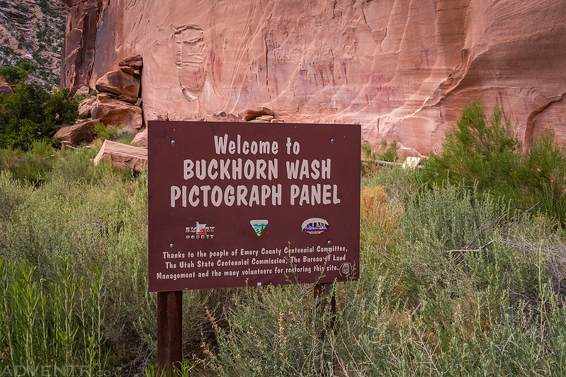
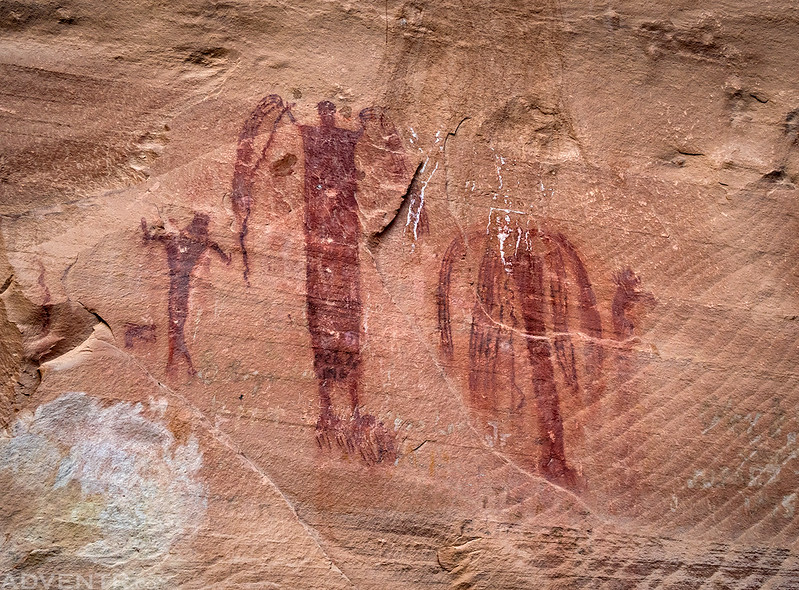
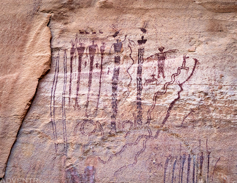
Once I had my tent setup, I drove a short distance up the road to revisit the Buckhorn Wash Pictograph Panel. I’ve stopped here many times over the years and it’s always nice to see again.
Rain Angels
Snake Dance Panel
Whip It
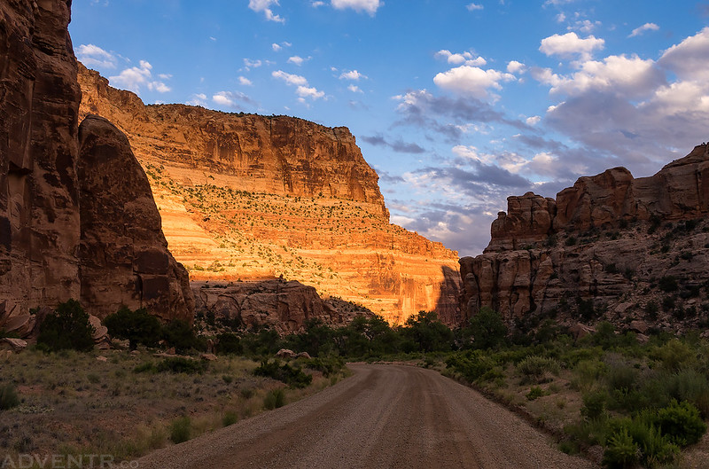
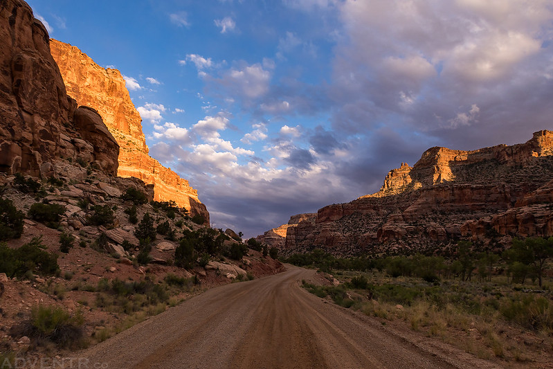
There was nice light in the canyon as I drove back to our campsite. Since it was looking like there was going to be a nice sunset I ended up driving back down to the Swinging Bridge for a few photos.
Buckhorn Wash Camp
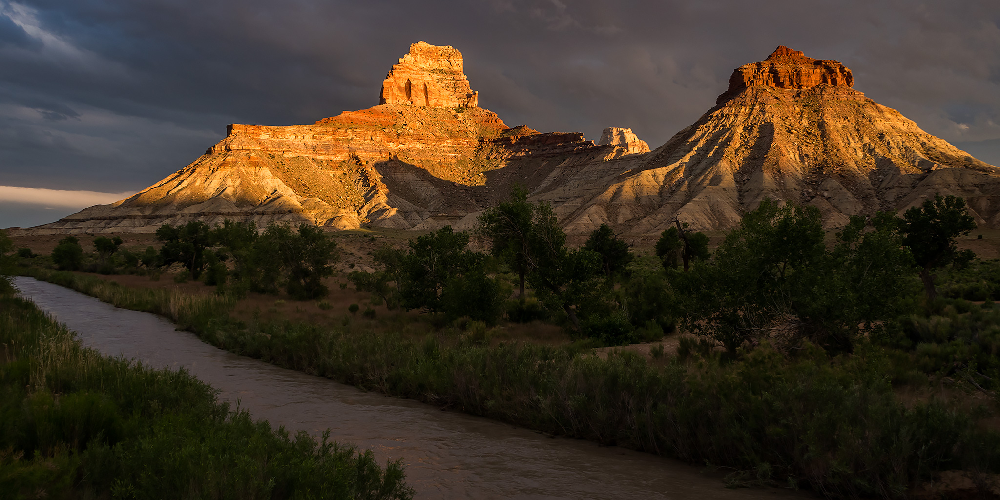
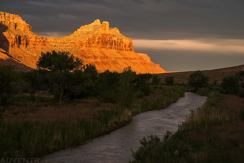
Assembly Hall Peak at sunset over the San Rafael River.
San Rafael River Sunset
Swinging Bridge Sunset
The San Rafael Bridge at sunset. The last time I was here the bridge was still mostly painted white…
Assembly Hall Peak & Window Blind Peak
One last shot from above our campsite before we went to bed.
We woke up at 6:00am with the sunrise on Saturday morning, packed up camp and then dropped Jackson’s car off by the Swinging Bridge. Then we all hopped into my Jeep and drove over to Fuller Bottom to start our river trip. After rigging up the boats we were the first ones on the water at about 9:00am. It was a cool morning but felt nice in the sun, although none of us wanted to fall into the river today!
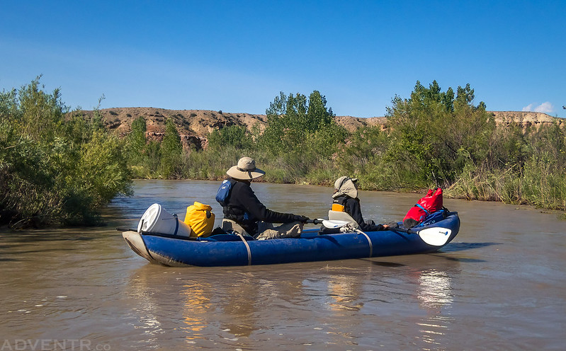
Ready to get on the water on this cool morning.
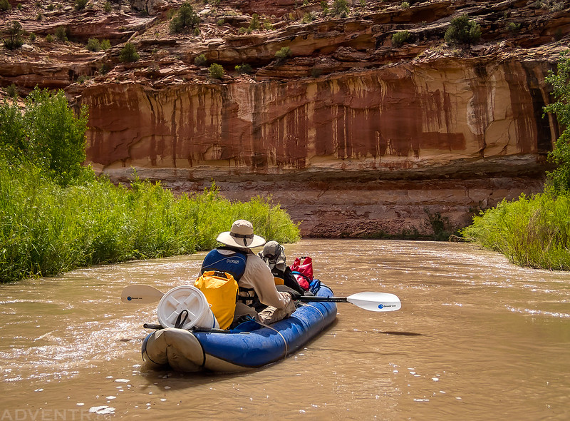
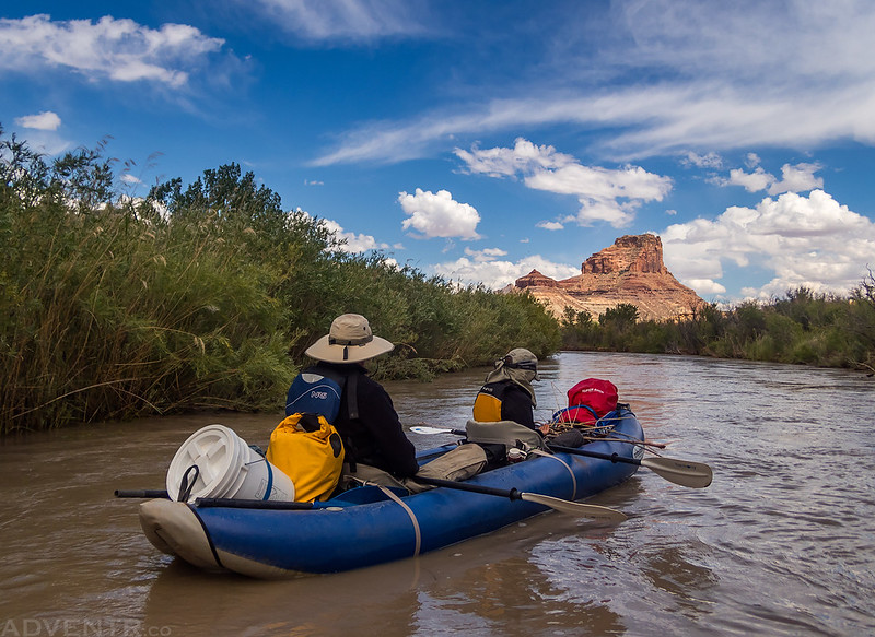
Jackson and Ken on the river ahead of me.
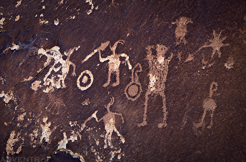
The first petroglyph panel I stopped to visit.
Hiking up to the Sorrel Mule Mine.
Looking into the mine shaft.
Back on the river again…
We passed by the mouth of North Salt Wash.
While I didn’t get any photos of them, we saw at least five or six different beavers along the river. They would quickly jump in the river as we passed making a loud splashing sound. We were also serenaded by the constant sound of hundreds or thousands of cicadas all along the river.
Coming in for a landing at the mouth of Virgin Spring Canyon.
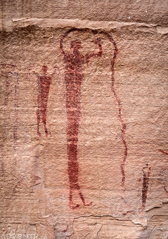
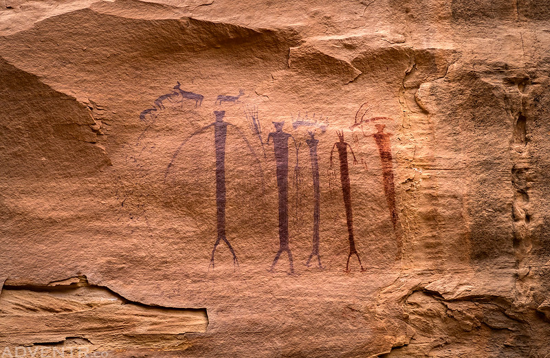
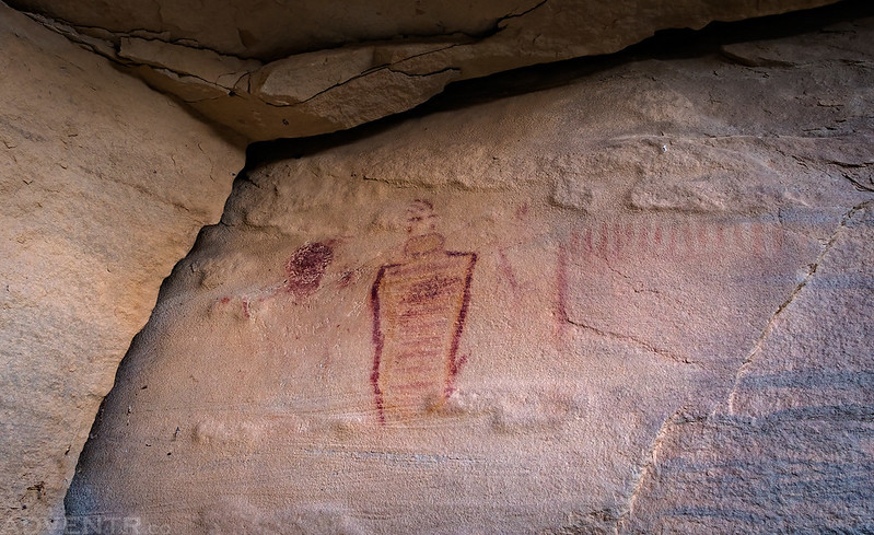
We hiked to see the amazing Barrier Canyon Style pictographs found here.
This is one of my favorite panels.
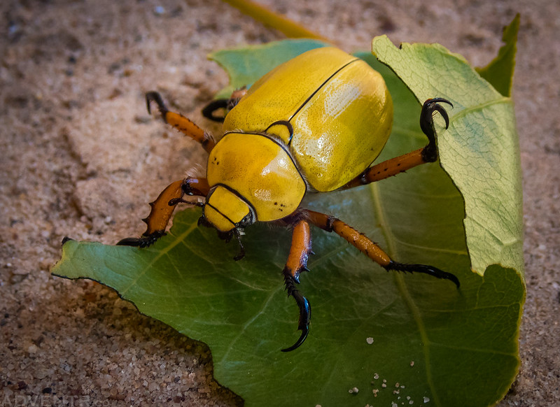
Jackson spotted this Yellow Beetle when we returned to the boats. I typically don’t take photos of insects but I thought this would be a good opportunity to try out the macro mode on my new waterproof camera, which works surprisingly well!
We had lunch here before getting back on the river.
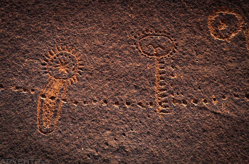
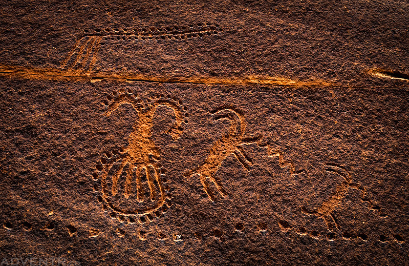
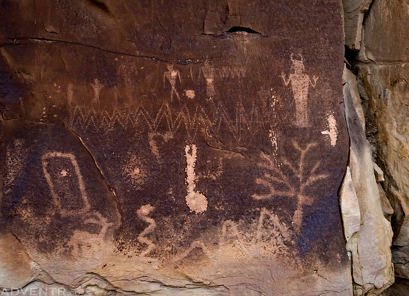
After leaving Virgin Spring Canyon we stopped to visit one more petroglyph panel along the river. These were certainly some of the most unusual petroglyphs I have seen in the area…
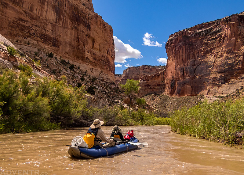
Floating through the heart of the Little Grand Canyon.
When Assembly Hall Peak came into view we knew we were getting close to the Swinging Bridge.
We arrived back at the takeout around 3:30pm and had spent about six and a half hours on the river, which was actually longer than I thought it was going to take us. I think this water level was pretty easy for an inflatable kayak but probably only good for canoes with people who know what they are doing. We were leap-frogging one larger group throughout the day that had a couple canoes and all of them flipped at some point, usually in the sharp bends, and some of them multiple times. We ended up helping them out a couple of times along the way. With the cold water and cold air temperature it really didn’t look like a good time to me, especially since they seemed to have a hard time stopping along the shore with their canoes in these flows.
Maybe the storms on Friday evening and colder temperatures had kept people away, but aside from that one large group we really didn’t see anyone one else on the river. It was certainly not as crowded as I expected it to be on a Saturday! It was a very nice trip!
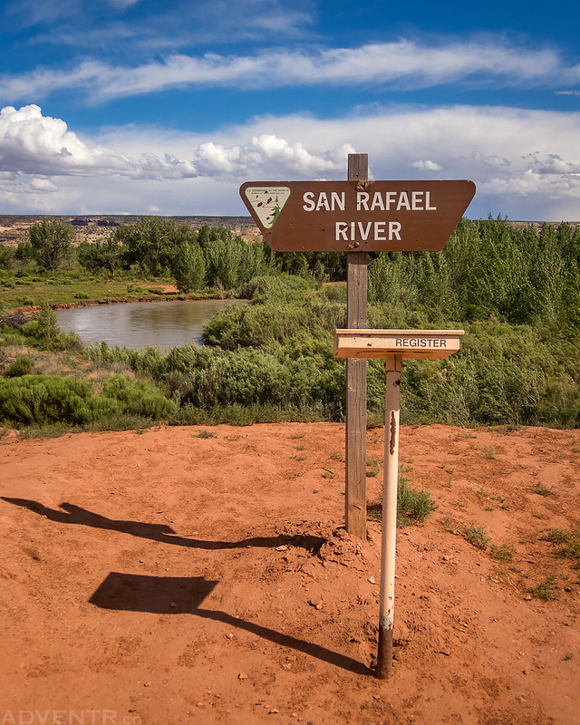
I took this photo of the San Rafael River sign when we returned to Fuller Bottom to pick up my Jeep.
After picking my Jeep up and then driving back to I-70 Jackson was going to head home while I stopped at Ray’s Tavern in Green River for a burger and then headed over to the Price River in the Book Cliffs for the rest of the evening. I had brought my packraft along and was thinking about using it the following morning on the Price River for a few miles and then hiking back.
Approaching Mount Elliott and the Book Cliffs
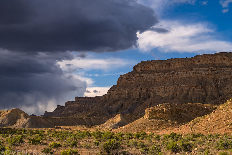
I liked this view of dark storm clouds approaching the Book Cliffs as I drove along the Price River.
The Price River Canyon
I found a nice campsite near the mouth of the canyon just as it started to rain and a faint rainbow made an appearance over my Jeep.
Then I got to watch a nice sunset from camp.
Magenta Sky
I woke up on Sunday morning with the sunrise and the temperature out was pretty cool at around 39 degrees. It was a little too cold out for me to want to get on the river in a packraft and I wasn’t feeling like waiting for it to warm up, so instead I drove to the river ford and then headed back home early.
Price River Petroglyphs
Faded Pictographs
There was definitely enough water in the Price River and it looked like it would have been a fun trip, but it was just too cold out for me.
I liked the way this spire was catching light as I drove back out of the canyon.



















Beautiful captures of light. Amazing rock art. So glad to get to see very clearly that which I will never see in real time. Thanks so much.
Hiked down the San Rafael to Virgin Spring Canyon this spring. Looks like there was more water in June 2019 than there was in early May 2020. Beautiful pictures. I’m headed back down there early tomorrow morning.
2019 was a big water year!