Colorado National Monument Traverse V
Easter | Sunday, April 1, 2018
This weekend Diane and I stayed close to home so we could go on our annual Colorado National Monument Traverse on Sunday. This yearly hike has sort of become a tradition for us where we plan a longer hike through the Colorado National Monument by combining existing trails and off-trail routes. This is the fifth year we have planned a hike like this and this time I wanted to do something on the east side of the Monument that included No Thoroughfare Canyon. If you are interested in checking out our previous traverses, you can find links to those trip reports here: Traverses of the Colorado National Monument
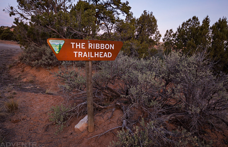
We woke up early on Sunday morning and drove over to the White Rocks Trailhead in the dark so we could leave Diane’s car there. Then she hopped in my Jeep and we drove up Little Park Road to The Ribbon Trailhead, located just outside the boundary of the Monument in the Bangs Canyon Special Recreation Management Area. We arrived shortly before sunrise and started hiking toward the rim of No Thoroughfare Canyon.
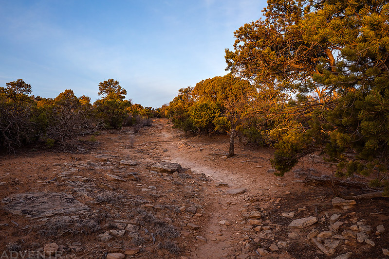
Starting our hike from The Ribbon Trailhead shortly before sunrise.
We reached the Old Gordon Trail just as the sun started to come up over the Grand Mesa.
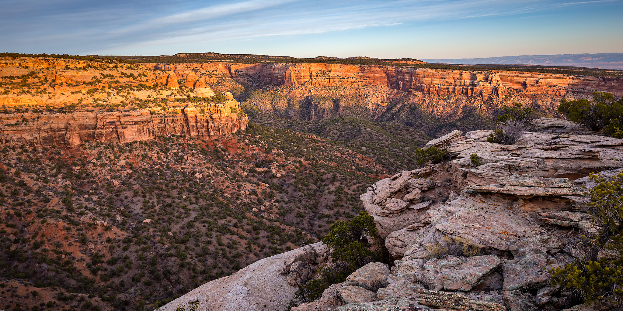
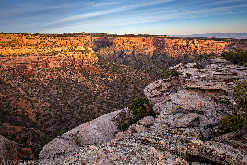
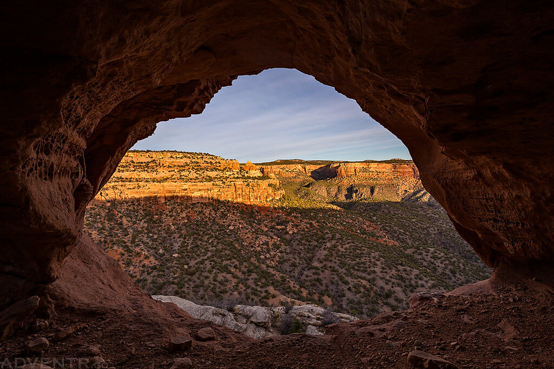
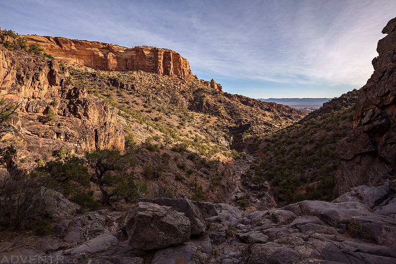
A beautiful sunrise from the rim of No Thoroughfare Canyon.
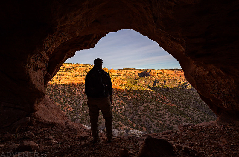
During our descent into No Thoroughfare Canyon we stopped to visit Window Pane Arch.
Here’s Diane standing in the arch for a little bit of scale.
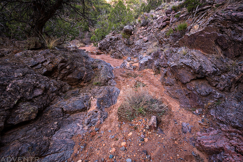
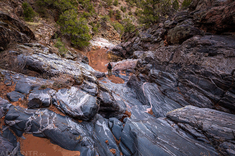
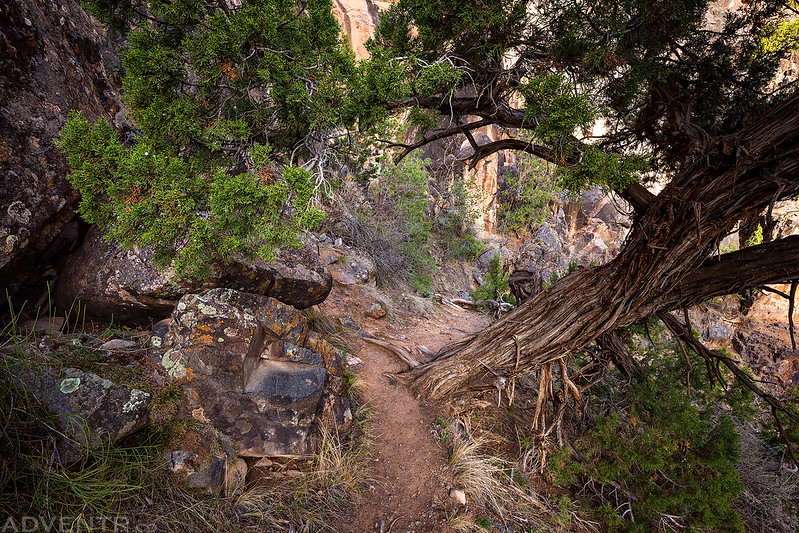
Once we reached the wash at the bottom of a side canyon, we followed it to the main canyon.
Diane stands at the bottom of a slippery chute she just descended. It’s much steeper and higher than in looks in this photo.
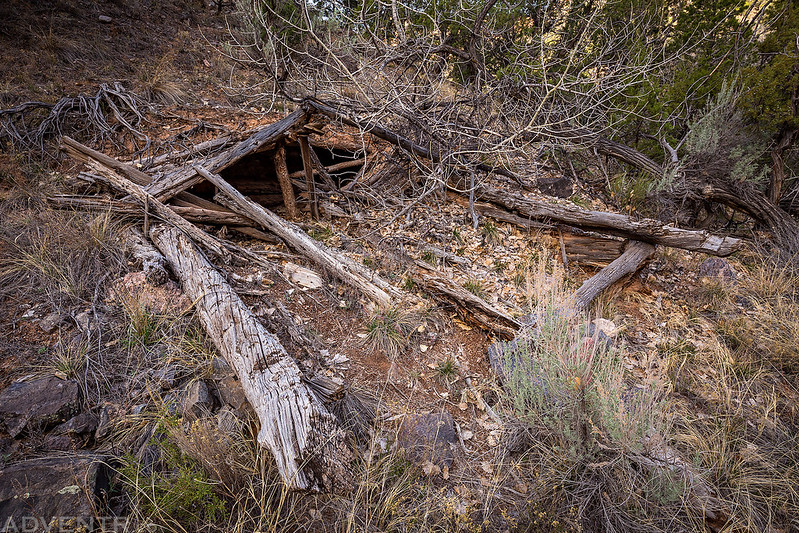
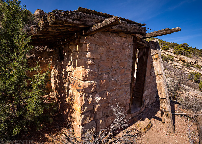
The remains of an old dugout cabin we passed.
A nice view down No Thoroughfare Canyon from on top of the First Waterfall.
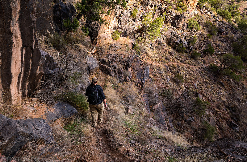
Descending the trail around the First Waterfall.
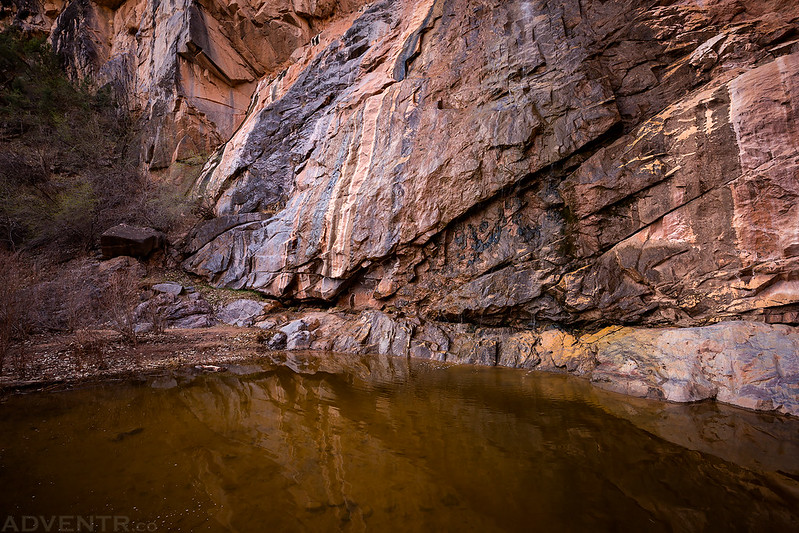
The waterfall had a trickle of water coming down it and the pool at the bottom was full.
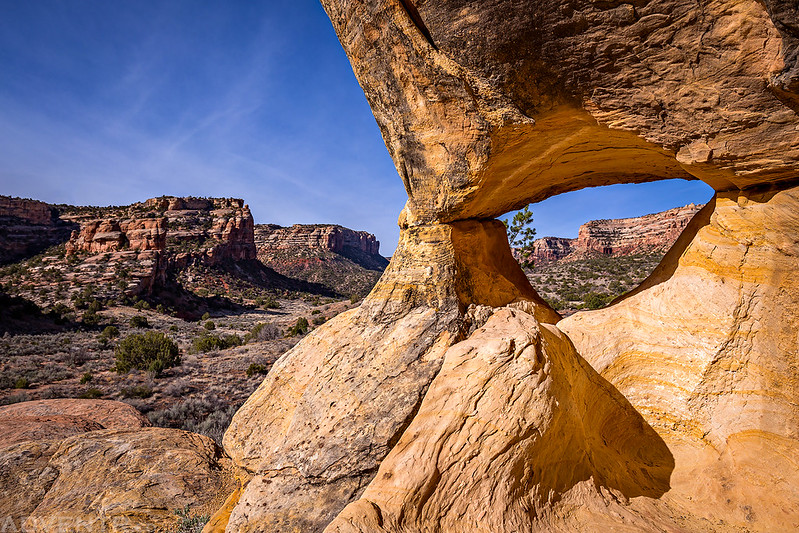
No Thoroughfare Canyon Arch
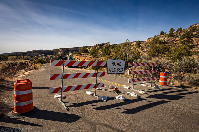
Typically when hiking lower No Thoroughfare Canyon you can hear vehicles on the switchbacks of the road above you, but this time it was very quiet because Rim Rock Drive is currently closed for construction at the Devils Kitchen Trailhead.
After reaching the shelter at the Devils Kitchen Picnic Area, we sat down at a table to rest and have a little lunch. Apparently this is a popular place for families to celebrate Easter because there were a lot of people around.
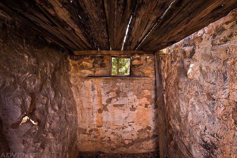
After leaving the Devils Kitchen Picnic Area we visited this old structure on our way to Red Canyon.
A look inside.
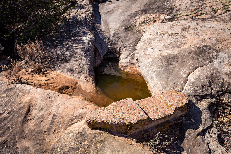
This small dam is located nearby and seems to still be doing it’s job.
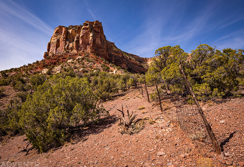
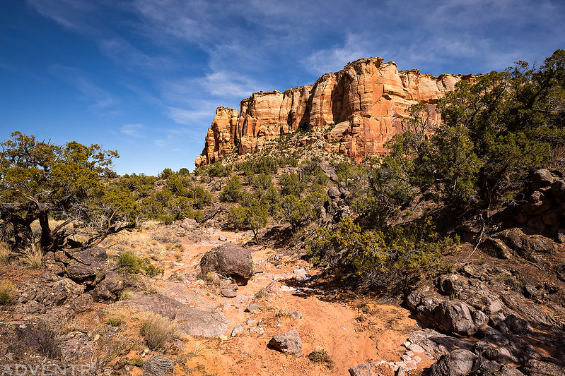
We weaved in and out of this old fenceline as we climbed up onto the Precambrian Bench.
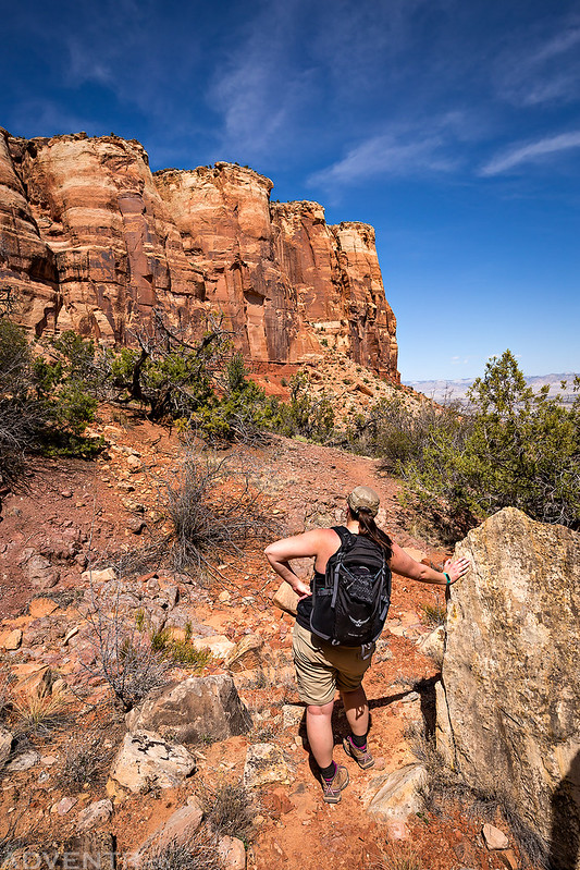
Following an old trail on The Bench toward Ute Canyon.
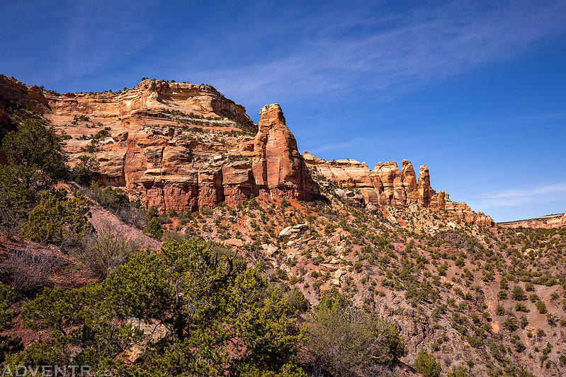
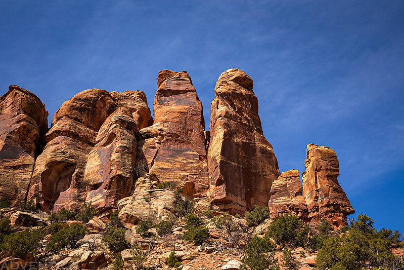
Sandstone Fingers
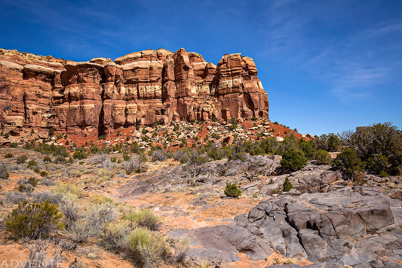
Soon we reached Ute Canyon. Liberty Cap is located on top of the Wingate Sandstone cliffs ahead, but it’s not visible from this angle.
Diane rests on a rock as we traversed the Precambrian Bench Trail on our way to Gold Star Canyon.
We crossed the wash in Gold Star Canyon near Otto’s Staircase before descending to the trailhead at White Rocks, completing our traverse.
The entire hike took us about eight hours to complete and ended up being about 13 to 14 miles in length. There was plenty of sunshine and the high temperature was in the mid 70’s when we returned to the trailhead. It was another great day of hiking in the Grand Valley!
Below is a map of our hike in case you would like to try this route out for yourself. Just remember, parts of this route are off-trail, so make sure to avoid stepping on any cryptobiotic soil crust by staying on hard surfaces and in washes when you can.
Hi Randy!
Not sure how I found your website but am glad I did. We seem to have similar interests. I also make up long routes in the Mounument. Must be your tracks I see in the out of the way places!
Rick