Wednesday – Sunday, April 22-26, 2015
It seems to have become an annual spring tradition for Jared, Dave and myself to plan a backpacking trip in late April or early May to southern Utah in search of ancient ruins and rock art. This year we decided to spend three nights in lower Grand Gulch. I left from work on Wednesday afternoon and drove straight down to Cedar Mesa where I met up with Dave and Jared in our usual camp spot. We sat around the fire to catch up and tentatively worked out some plans for the next few days before getting into our sleeping bags shortly after darkness set in for the night.
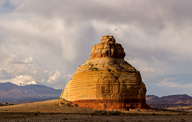
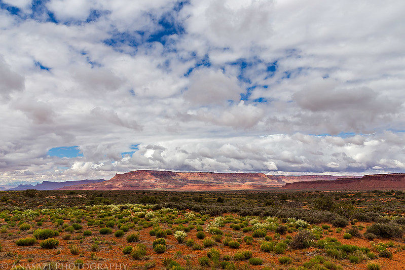
I’ve driven by Church Rock countless times, but the light was looking nice this time so I stopped for a quick photo.
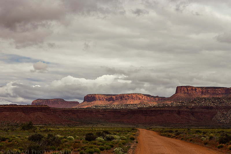
Driving through Comb Ridge before climbing up to the top of Cedar Mesa.
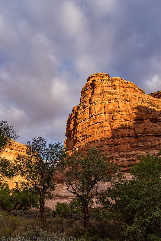
A lone tree that caught my attention in the late afternoon light near our campsite.

Ready to get some sleep in luxury before we set out into Grand Gulch.

On Thursday morning we were up early to break down camp and made it over to the Kane Gulch Ranger Station before they opened at 8:00am so we could get our permits first thing. We watched the required video, inquired about water in the canyon and then drove around the head of Grand Gulch to the Collins Canyon trailhead on the other side. They didn’t have much information about water in the lower section of the canyon, but the little information they had sounded promising. We were originally a little concerned that finding water in this area might be an issue with the hot and dry year we’ve had so far, but those concerns were unfounded and we easily found plenty of water throughout the canyon. The drive to Collins Canyon was quicker than I remembered it being and we were hiking down towards it’s confluence with Grand Gulch in no time. We made sure to stop by the cowboy camp on the way down and then dropped our backpacks when we reached Grand Gulch so we could hike upstream to visit Bannister House Ruin and a few other rock art sites.
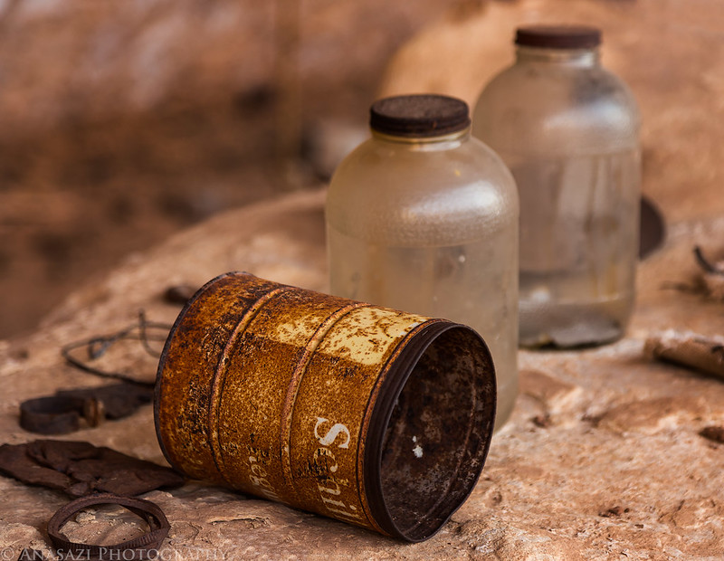
Historic relics from the cowboy camp in Collins Canyon.

Dave checks out their cold storage cellar.

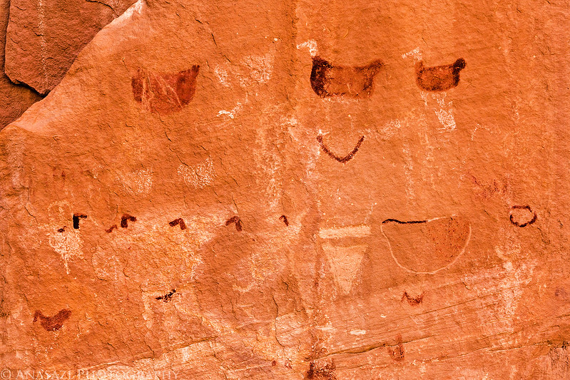
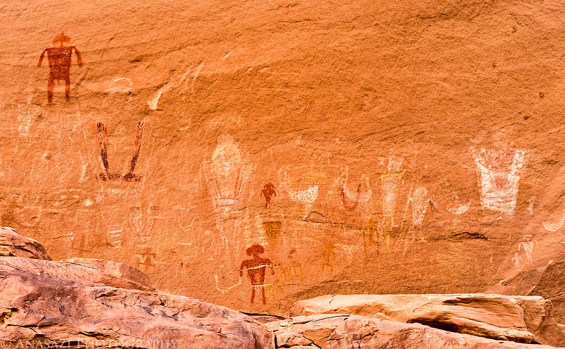
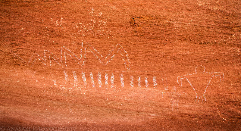
We visited a few nice rock art sites on our way to Bannister House.

This is one of the largest handprints I’ve ever seen. It’s about the same size as my hand.

Small guy carrying a big bird.
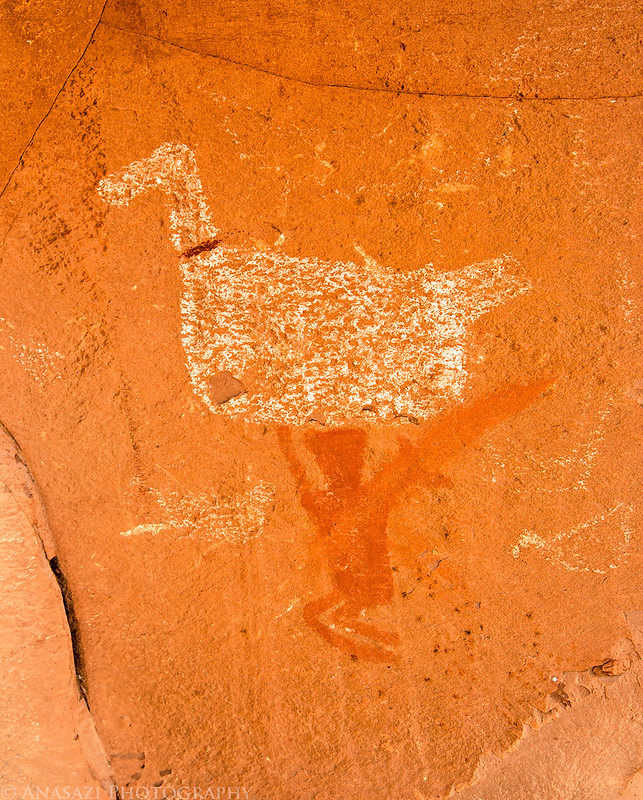
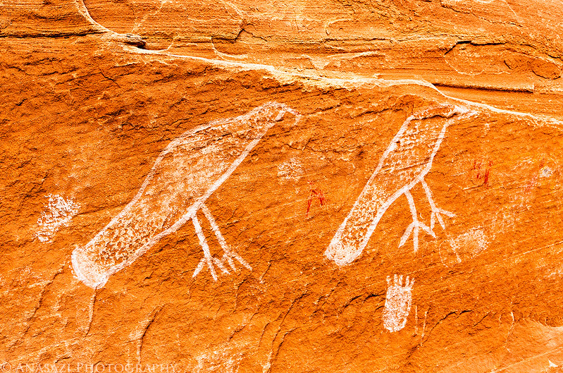
Pictographs of birds are common in Grand Gulch.
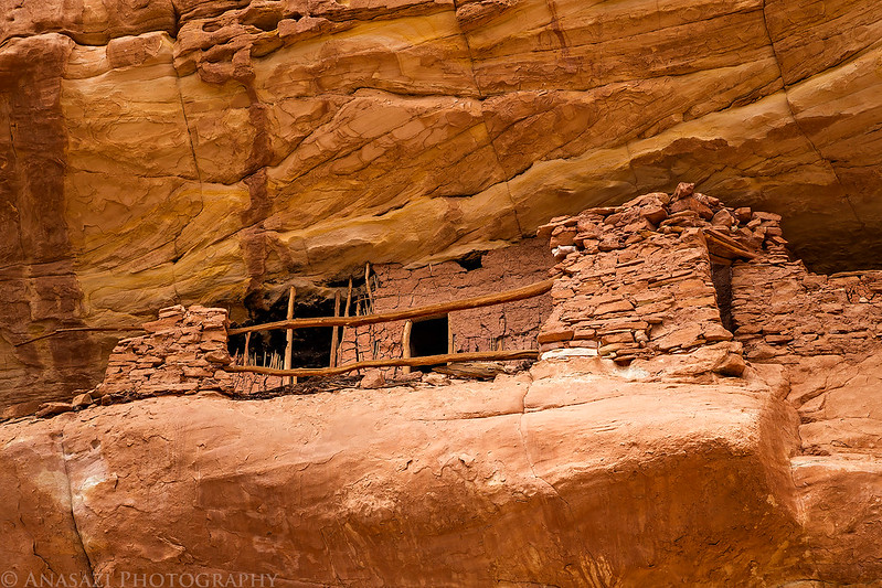
A nice granary we passed but were unable to climb up to.

A two-headed pictograph.

I liked the painted designs on these petroglyphs.
Finally we reached the impressive Bannister House Ruins. Aside from passing a few people in Collins Canyon, this is the only place we would run into other people the entire trip.
While we were at Bannister House the wind picked up and the sky grew dark so we quickly started back down the canyon to our packs hoping they wouldn’t get soaked by rain! Luckily it only rained briefly and not hard enough to get our packs wet. Next time we will have to leave them in an area protected from possible rain storms no matter how nice it looks out. After having a snack we continued downcanyon to visit a few more ruins and rock art sites and look for a campsite for the night. We ended up having a difficult time finding a decent campsite in this part of the canyon and had to settle for a grassy site downstream from the mouth of Water Canyon and got setup just before dark. We had a pretty long day and hiked quite a bit longer and further than we had planned, so I wasn’t feeling the greatest this evening since I had pushed myself pretty hard throughout the day. I skipped dinner since I wasn’t hungry at all and went to bed right after my tent was setup. I pretty much fell right asleep and slept through the night until the sun came up the next morning.
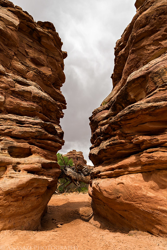
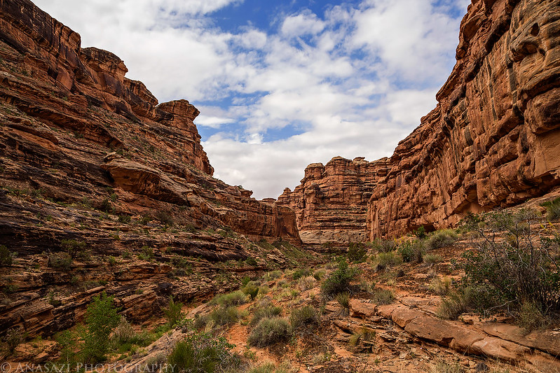
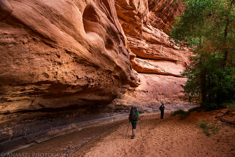
Hiking through The Narrows into lower Grand Gulch.
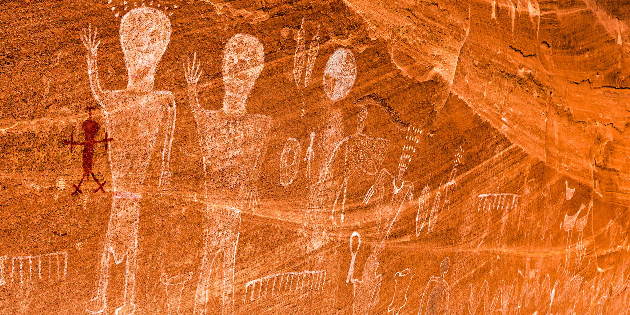
One of my favorite pictograph panels we visited on this trip.

This shallow alcove near the trail had a bunch of handprints.

These figures were near the handprints.
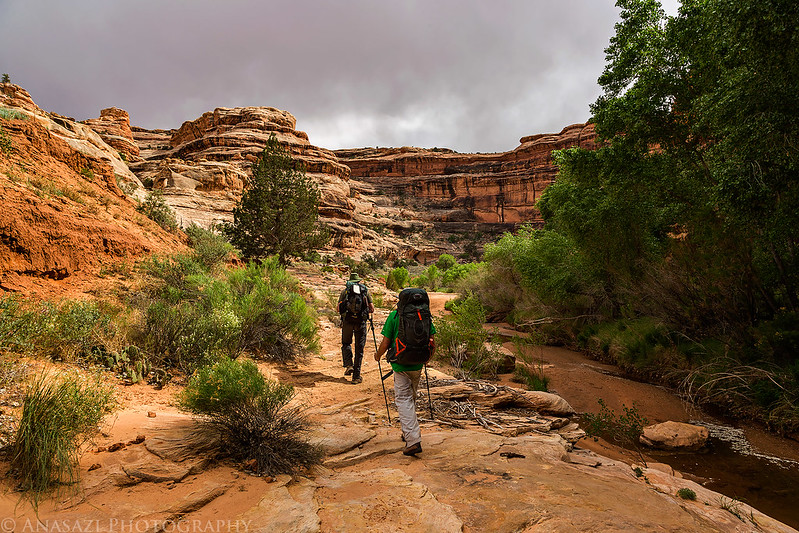
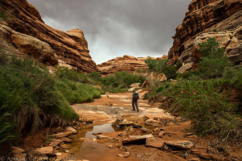
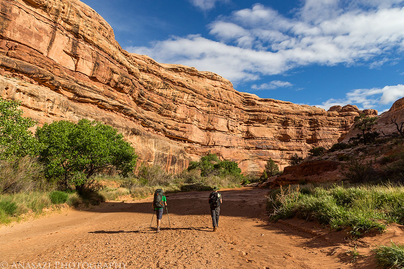
Dave and Jared hike ahead of me as we keep on the lookout for rock art and a decent campsite.
Following the trail.
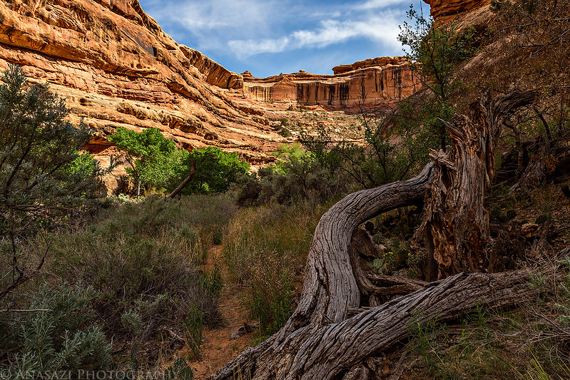
Hiking below the towering canyon wall.

We found a few interesting pictographs on the ceiling of this alcove.

Colorful pictographs on a ledge above the wash.

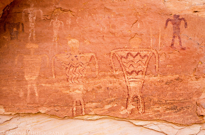
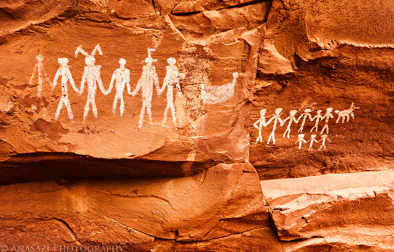
We eventually reached the Big Panel, which I have read might be the largest pictograph panel in Grand Gulch. We had hoped to camp near here, but really didn’t find a good spot nearby that wasn’t overgrown.
A small lineup on the way to the Big Panel.

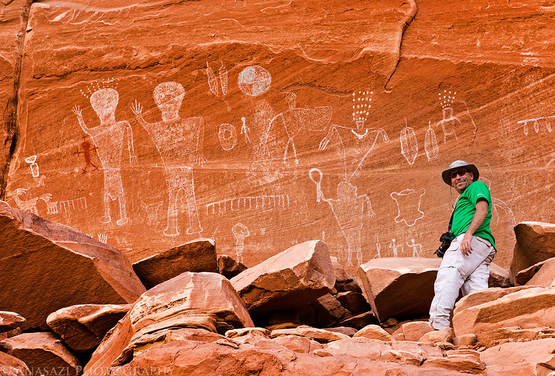
Life-sized figures are there to greet you when you reach the panel. It’s easily seen from the canyon bottom, but the view is much better if you climb up near them.


Here is Jared next to the panel to add some scale.
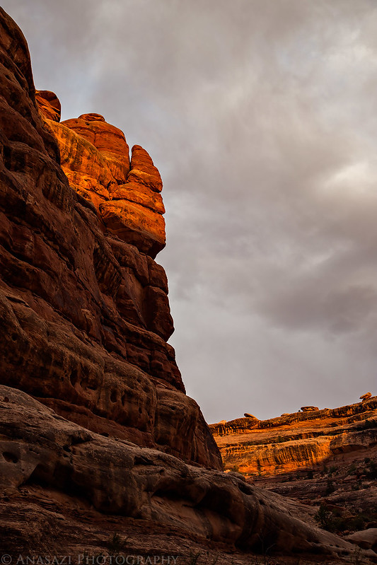
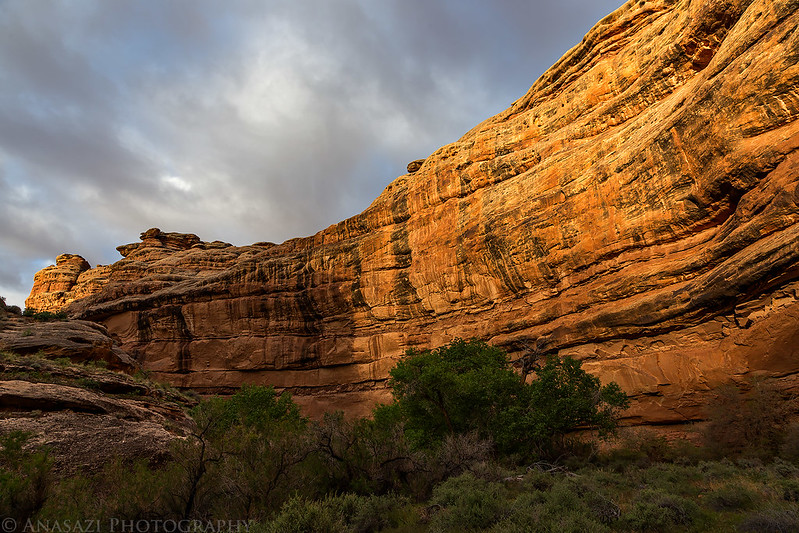
Evening light in the Grand Gulch.

Last light and cloudy skies from our campsite.
When I woke up on Friday morning I was feeling much better after a good long night of sleep. We had a little breakfast, packed up camp and then hiked up nearby Water Canyon to do a little exploring. We found a little rock art, the remains of some structures and an inscription by someone with the last name of ‘Billings’ from Feb. 22, 1894, but not much else. We were hoping to visit another ruin in this canyon but were unable to climb up to the area we thought it was located in since we lacked the required climbing abilities. After leaving Water Canyon we grabbed our packs again and continued downcanyon to Shaw Arch where we would camp for our second night.
The alcove in Water Canyon that contained a little rock art, these foundations and the 1894 inscription.

Exploring Water Canyon.
Back in Grand Gulch on our way to Shaw Arch.

We stopped to visit the red man of Redman Canyon.

Another alcove we explored along the way. Again, there were a few foundations here and some faint rock art, but the most interesting thing was another inscription from Feb. 22, 1894. This one was made by J.L. Ethridge. Since it was created on the same date as the one we saw earlier in Water Canyon I did a little research when I returned home and found that they were made during the Hyde Exploring Expedition led by Richard Wetherill.

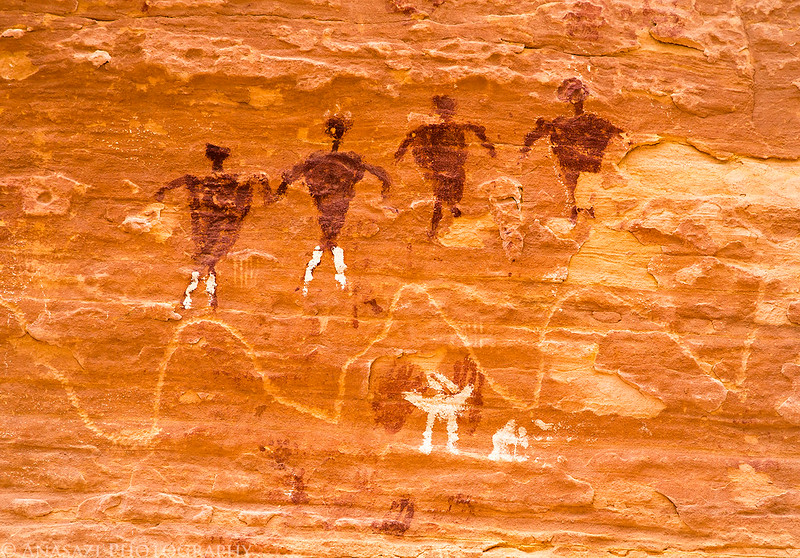
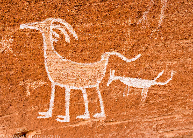
Soon we reached Shaw Arch and checked out all the rock art in the immediate area.

Hard to see ‘lizard men’ petroglyphs near the arch.

There seemed to be handprints everywhere we looked around the arch.

While the handprints are cool, I found the streaks to the left of them interesting. It sort of looks like someone blew paint along the wall to create the streaks?

After setting up camp near the arch and relaxing in the shade for a bit, we wandered across the canyon to search for some other pictographs, including this fading design.

The view back to Shaw Arch from across the canyon.
It was a steep climb up to a massive alcove to visit these pictographs.
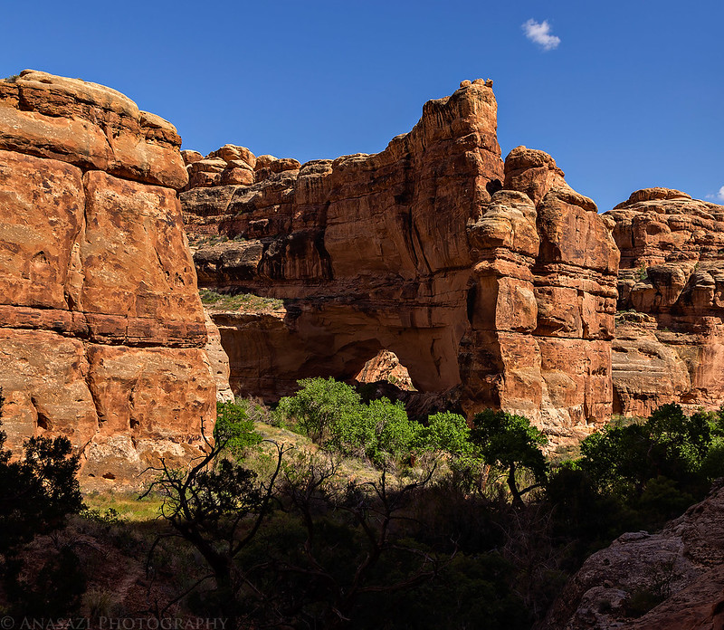
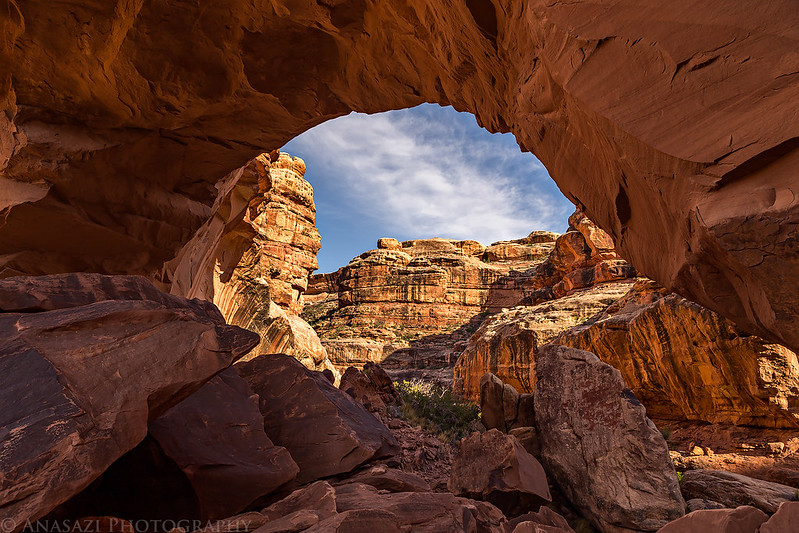
One last view from under Shaw Arch, also known by some as Grand Arch and Wetherill Arch.
The following morning (Saturday) we left our camp setup and hiked to an amazing kiva hidden nearby in a large alcove that still has it’s original ladder poles in place. It was a very special place and one of the best untouched kiva’s that I have ever visited.
Dave hikes ahead under gray skies.

The amazing kiva with original ladder poles still in place.

One of the largest corncobs I have found.

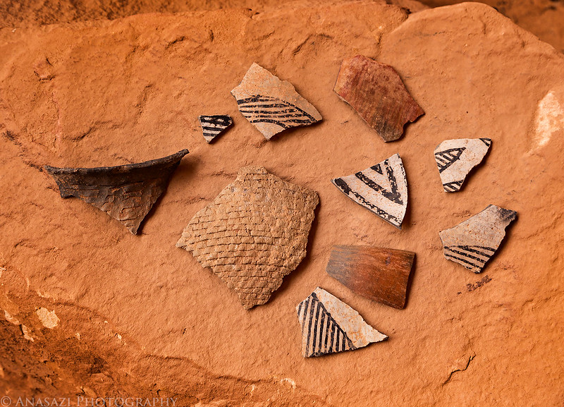
There were also a lot of nice large potsherds around.
A closer look at the entrance of the kiva.

A little spotlight in the alcove as a storm blows in. We waited for a short rainstorm to end before leaving.
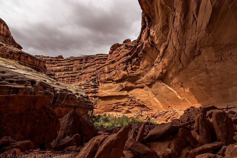
Lower Grand Gulch.
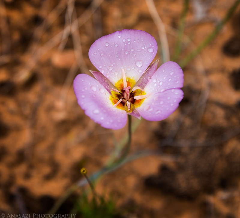
Raindrops on wildflowers we hiked past on our way back to Shaw Arch. Wildflowers were plentiful in the canyon during the entire trip.

Jared and Dave hiking ahead of me back to Shaw Arch.

When we returned to camp, we packed up and started hiking back up the canyon to try and find an alternate way back to the trailhead. We thought we had read that there might be a way out of Redman Canyon, but we found it impassable to us and had to abandon those plans. While we were searching Redman Canyon for an exit it started raining again and got a bit windy, but we waited the storm out in an alcove and it ended shortly after.
A small granary we passed on the way back up Grand Gulch that had a nice little garden growing in front.

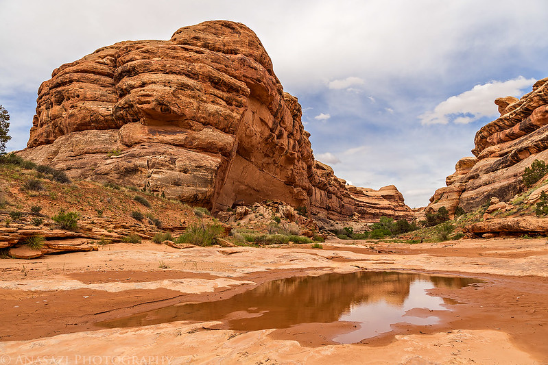
Plenty of water was found along the way. We explored the unnamed side canyon on the left of this photo and have since learned that it may be known as Rope Canyon and could offer a route out of the canyon, but we didn’t know that then…
The storm moves in as we approach Redman Canyon.
More bird pictographs in Redman Canyon found in the alcove we waited out the storm in.

Since we couldn’t find an alternate route out of Grand Gulch this time we decided to cut our losses and start returning the way we had come. We ended up setting up camp at a nicer site near the mouth of Water Canyon this time and got our tents setup just before it started to rain again.
It would rain on and off throughout the night, but finally stopped before we woke up in the morning before sunrise on Sunday morning. Luckily, we would only have to deal with wet rainflys this one time on the trip. We had a quick breakfast and packed up camp. Today would be a shorter day since we all still had to drive back home, so we put on our packs and hiked out at a good pace without stopping to revisit any sites. We did make one rest stop after reaching Collins Canyon, but other than they we hiked out non-stop and made pretty good time. As we were hiking out of Collins Canyon the sky grew dark again and the wind picked up. The temperature dropped quickly and for the first time on the trip I was a little cold. Good thing we were almost back to the Jeep at that point. After totaling up my GPS tracks from the trip, we ended up hiking about 45 miles over the past three and a half days.
Sunrise from our camp at the mouth of Water Canyon.
There was nice spotlight on the canyon walls during our hike out.
Nice clouds above.

This ruin blends in nicely with the surrounding sandstone.

The drive home was filled with frequent rain, hail and wind with much cooler temperatures. It appears that we got out of the canyon at just the right time!
Nice sky over Grand Flat looking towards the Red House Cliffs and Navajo Mountain.
Leaving Collins Canyon and the Grand Gulch behind while driving towards Moss Back on my way home.
I think it goes without saying, but it was an awesome trip! We hiked a lot and my legs were tired when we got back, but it was well worth the effort.
Wonderful discription of your trip…I loved the pictures, felt as if I were there.. Thank you for sharing..
Thank you Carol!
It looks like someone patched up the red man pictograph. In 2007 the red man had two bullet holes in it.
I digitally repaired the bullet holes in my photo.
Great TR and Photos.
Thank you!
Great photographs and trip report. Hoping to explore the same area in early May.
Amazing writeup as always! Thanks for sharing, I missed most of these sights but did find the kiva (without any knowledge of it beforehand) when I tripped down to the San Juan a few years ago. Not sure if you noticed this but John has the highpoint in that rincon listed as a soft ranked peak 4740, it’d be interesting to try and climb it or look at it from the rim. Take care, jp