Labor Day Weekend | Thursday – Sunday, August 30 – September 2, 2018
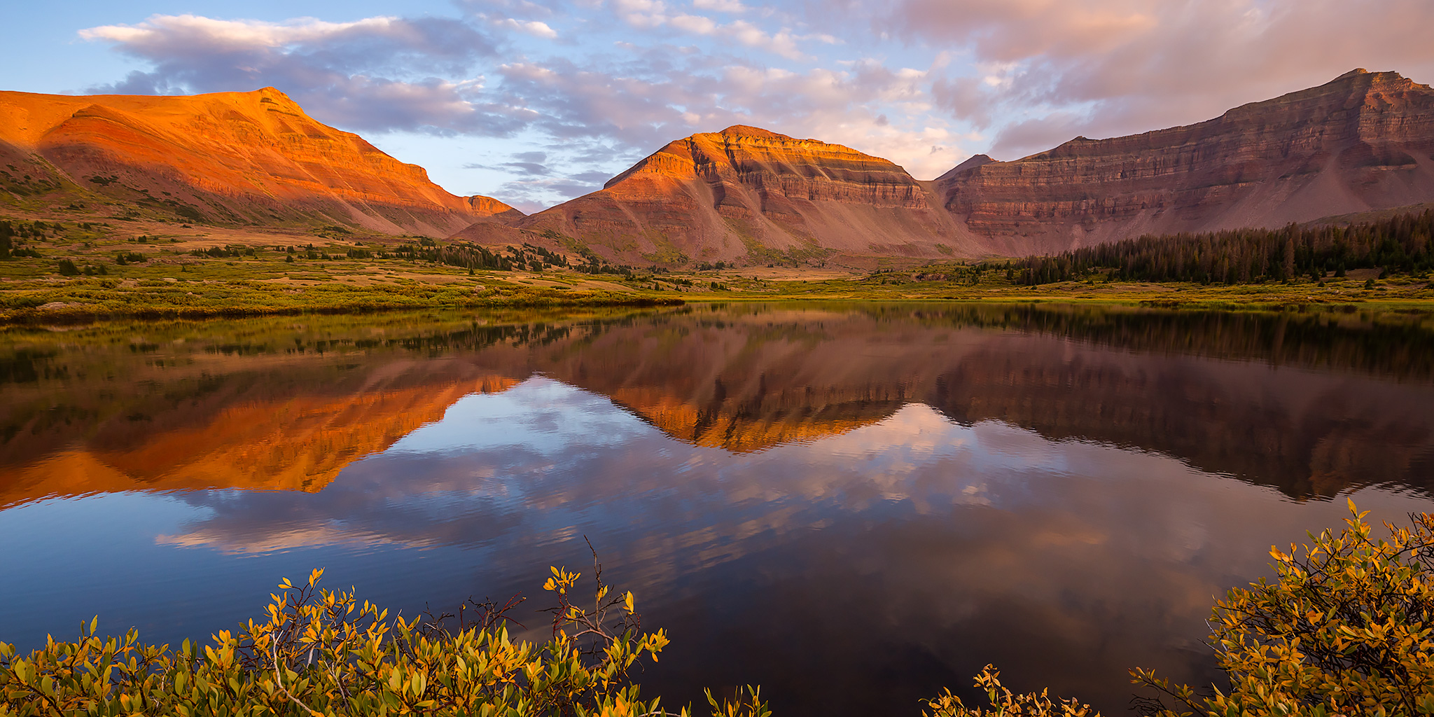
Last August when Diane and I were driving home through the eastern edge of the Uinta Mountains from our first backpacking trip in the Wind River Range in Wyoming, I mentioned that we needed to go on a backpacking trip into the High Uintas Wilderness in 2018, so I put it on our calendar for Labor Day weekend when I got back home. Fast forward a few months and it was time to start figuring out more specific plans for the trip. After looking at maps and our options, I figured that we might as well go all out and hike to the summit of Kings Peak which is the highest point in Utah. There are a couple of ways to get there, but Henrys Fork looked like the easiest and most popular way to go, so we thought it would be a good introduction to hiking in the High Uintas. Since I knew this was going to be a popular spot, especially during a holiday weekend, we took off Friday from work in hopes of getting a little bit of a head start. We left right after work on Thursday and drove over Douglas Pass and through the Book Cliffs to Vernal, where we stopped for a quick dinner. We almost hit a deer as we were driving through Manila, but other than that the drive was pretty uneventful. We arrived at the Henrys Fork Trailhead in the dark around 10:00pm and found a great spot to camp nearby. We quickly setup our tent and went right to bed. The sky was very clear and the stars and milky way were bright tonight!